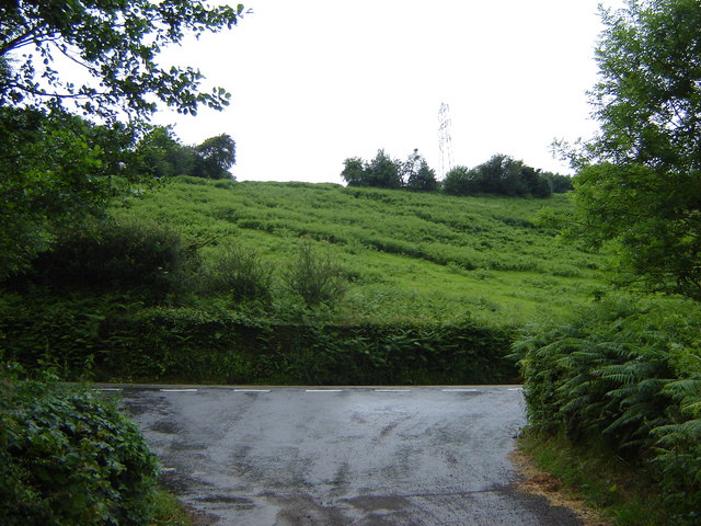
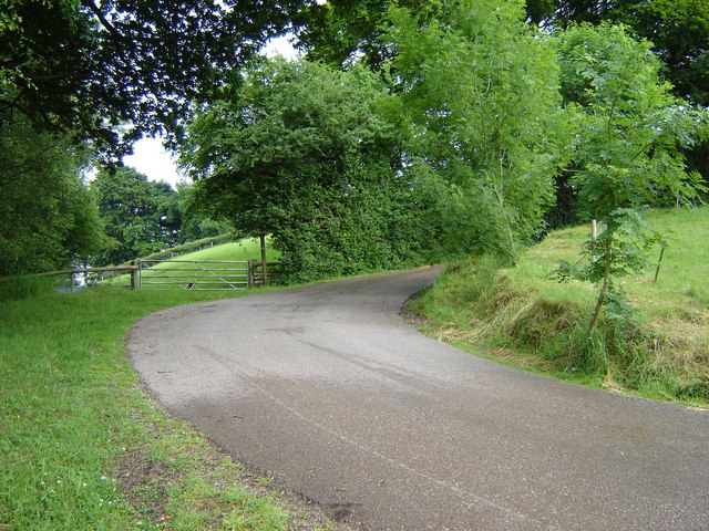
Coed Ty-mawr
Wood, Forest in Monmouthshire
Wales
Coed Ty-mawr
The requested URL returned error: 429 Too Many Requests
If you have any feedback on the listing, please let us know in the comments section below.
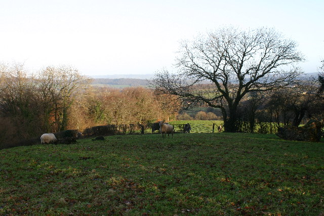
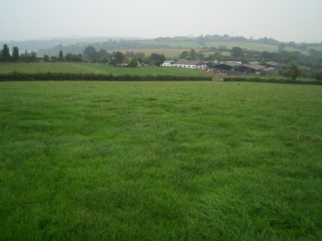
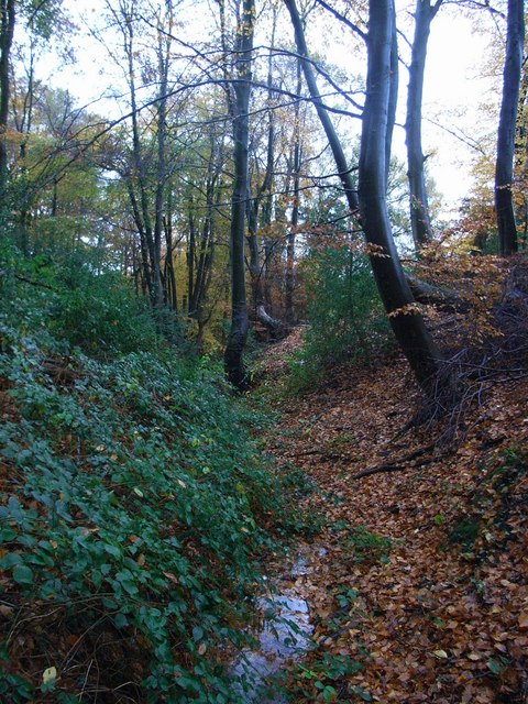
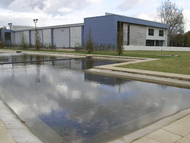
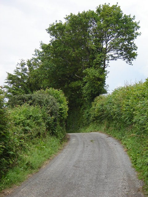
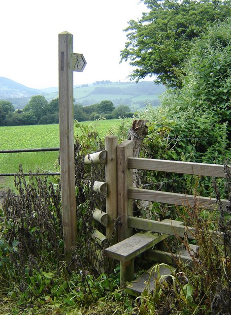
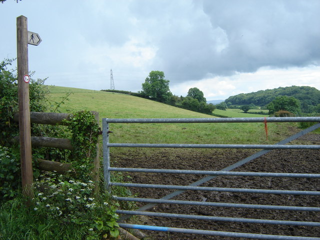
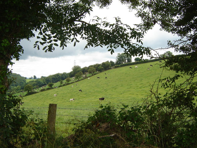
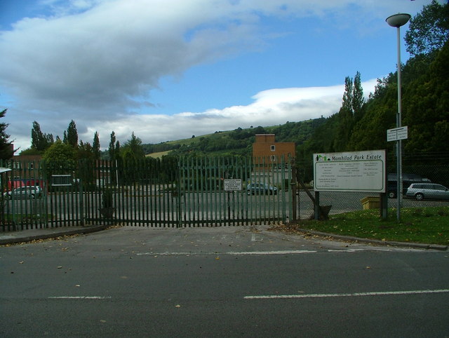
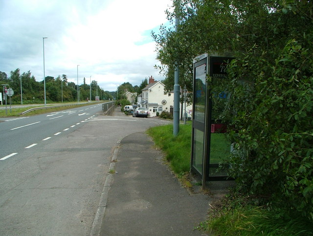
Coed Ty-mawr Images
Images are sourced within 2km of 51.70856/-2.992547 or Grid Reference SO3101. Thanks to Geograph Open Source API. All images are credited.


Coed Ty-mawr is located at Grid Ref: SO3101 (Lat: 51.70856, Lng: -2.992547)
Unitary Authority: Torfaen
Police Authority: Gwent
What 3 Words
///tolerable.rivals.mooring. Near New Inn, Torfaen
Nearby Locations
Related Wikis

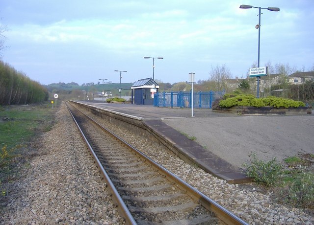
Little Mill Junction railway station
Little Mill Junction was a station on the former Coleford, Monmouth, Usk and Pontypool Railway, located between the main Newport, Abergavenny and Hereford...

Mamhilad
Mamhilad (Welsh: Mamheilad) is a village in the community of Goetre Fawr in Monmouthshire, south east Wales. == Location == Mamhilad is two miles to the...

A4042 road
The A4042 is a trunk road that runs from Abergavenny to Newport in south Wales. == Route == Starting at the junction of the A40 and A465 south of Abergavenny...
Little Mill, Monmouthshire
Little Mill (Welsh: Y Felin Fach) is a village in Monmouthshire, south east Wales, United Kingdom, in the community and ward of Goetre Fawr. It has a population...
Nearby Amenities
Located within 500m of 51.70856,-2.992547Have you been to Coed Ty-mawr?
Leave your review of Coed Ty-mawr below (or comments, questions and feedback).