Coedleoedd

Wood, Forest in Denbighshire

Wales

Coedleoedd

Hemmed in by roads A small field west of Halton created by the building of the A5 and its slip road.
Hemmed in by roads Credit: John H Darch

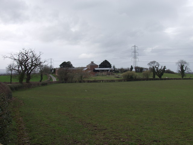
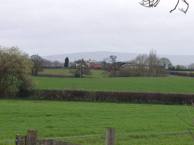
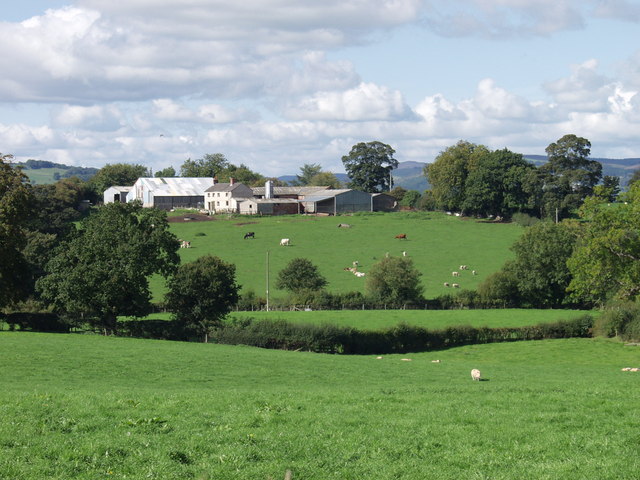
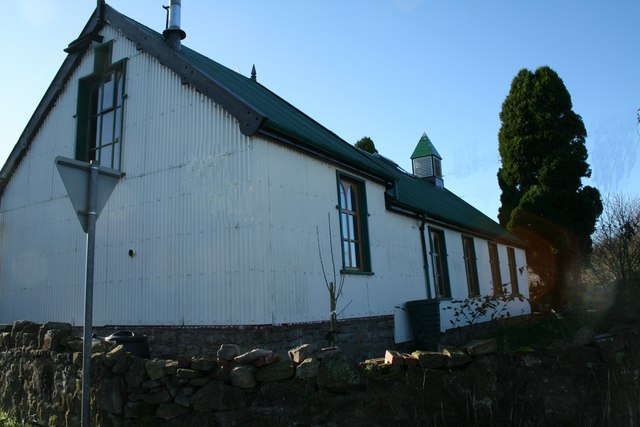
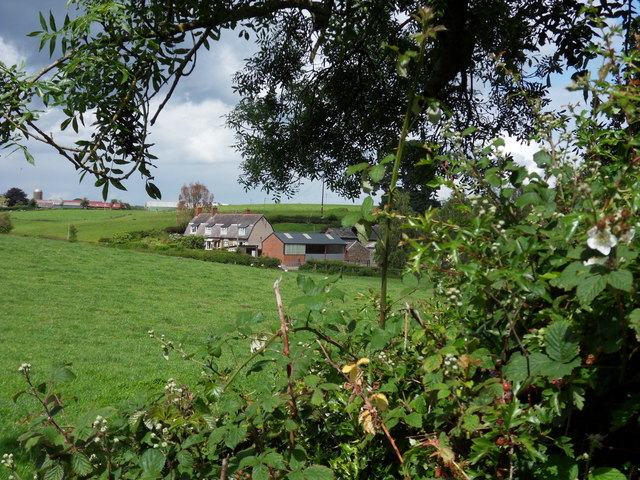
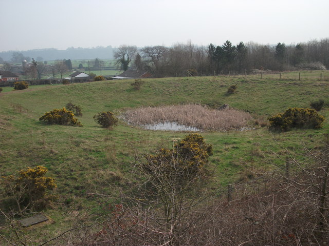
Coedleoedd is a woodland area located in Denbighshire, Wales. Covering a vast area, Coedleoedd is home to a variety of tree species, including oak, beech, and pine, creating a diverse and beautiful landscape. The woodland provides a habitat for a wide range of wildlife, including birds, mammals, and insects.

Visitors to Coedleoedd can enjoy walking and hiking trails that wind through the forest, offering stunning views of the surrounding countryside. The peaceful atmosphere of the woodland provides a tranquil escape from the hustle and bustle of everyday life, making it a popular destination for nature lovers and outdoor enthusiasts.

Coedleoedd also plays an important role in conservation efforts, with efforts being made to protect the native flora and fauna of the area. The woodland is managed sustainably to ensure the continued health and vitality of the ecosystem.

Overall, Coedleoedd is a beautiful and diverse woodland area that offers visitors the chance to connect with nature and enjoy the peace and tranquility of the natural world.

If you have any feedback on the listing, please let us know in the comments section below.
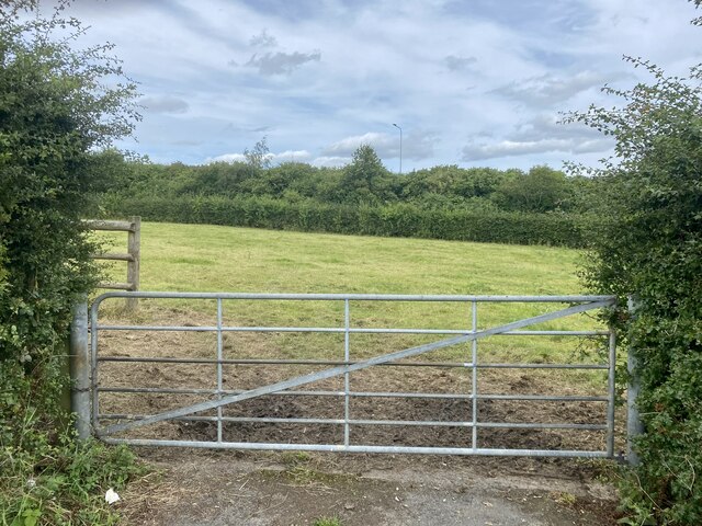
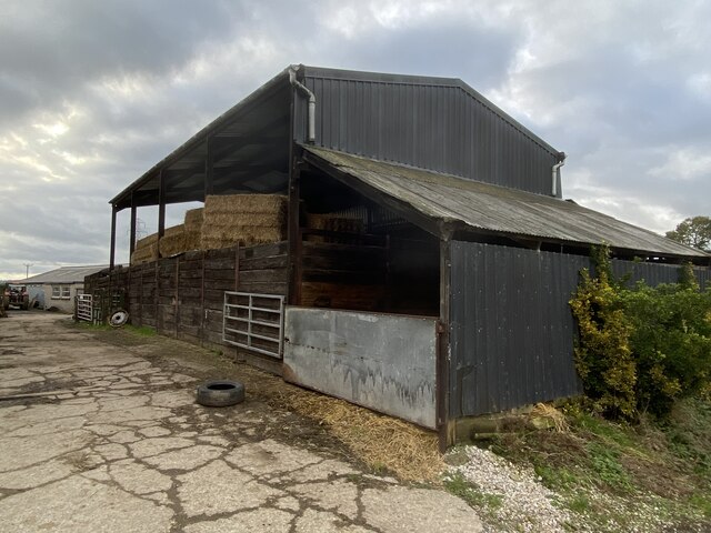
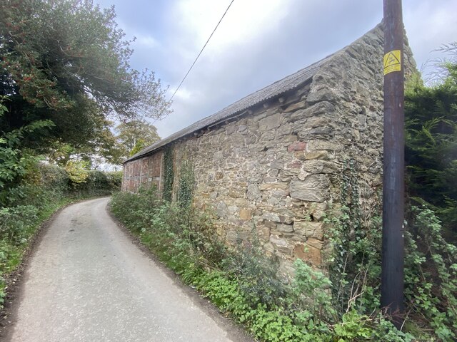
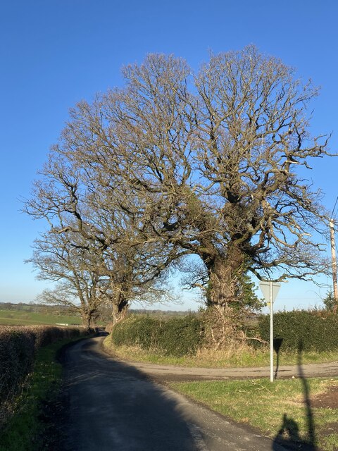
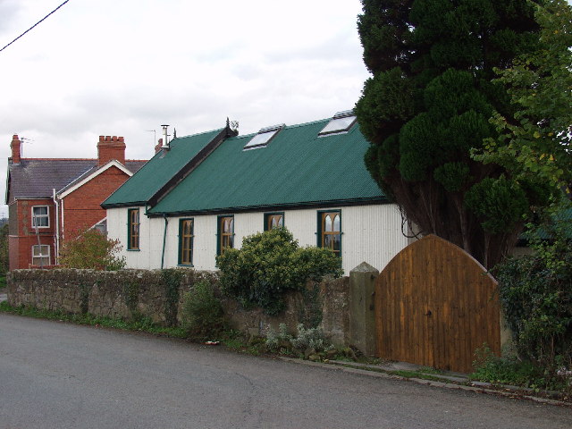
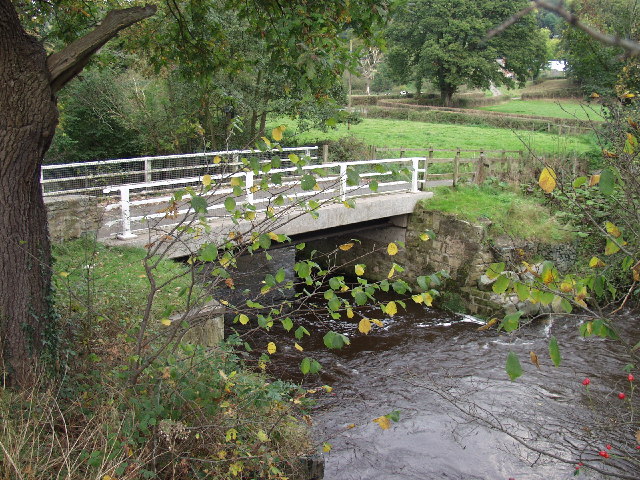
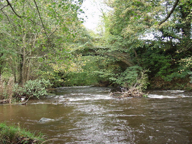
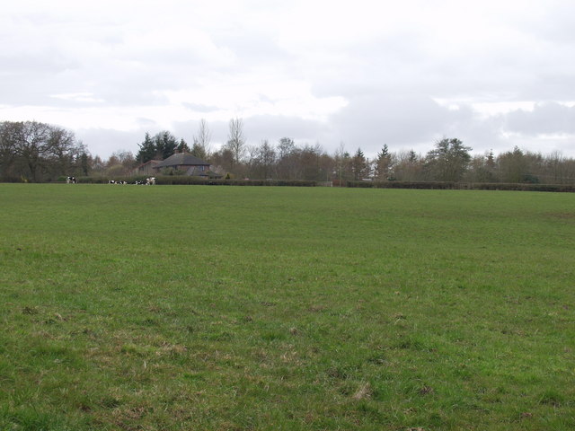
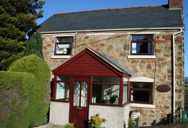
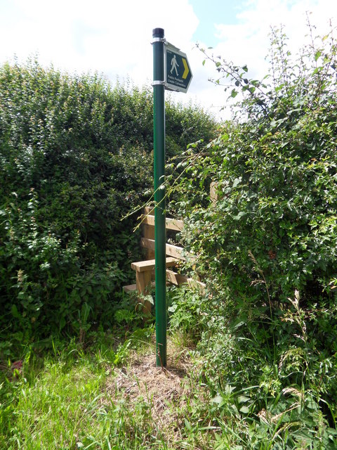
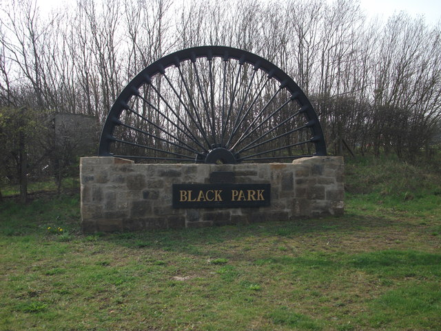
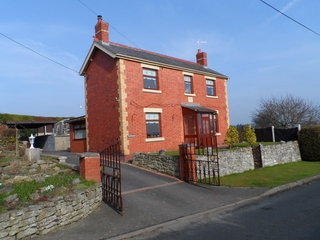
Coedleoedd Images

Images are sourced within 2km of 52.953409/-3.0208475 or Grid Reference SJ3140. Thanks to Geograph Open Source API. All images are credited.

Hemmed in by roads A small field west of Halton created by the building of the A5 and its slip road.
Hemmed in by roads
A small field west of Halton created by the building of the A5 and its slip road.
Barn at Lower House Farm
Old barn At Grandarr Kennels.
Old barn
At Grandarr Kennels.
Trees at junction of country roads
Tin Chapel at Halton This redundant "Tin Chapel" (which is a listed building) has been converted to a wonderful home. The basic structure has been enhanced by sympathetic window openings and although out of style the roof lights for the added first floor do not look out of place. I think this is because some "Tin Chapels" do have roof vents.
Tin Chapel at Halton
This redundant "Tin Chapel" (which is a listed building) has been converted to a wonderful home. The basic structure has been enhanced by sympathetic window openings and although out of style the roof lights for the added first floor do not look out of place. I think this is because some "Tin Chapels" do have roof vents.
Pont Llygoden - number 1 bridge on  Afon Ceiriog Pont Llygoden ("Mouse Bridge") - the first bridge over Afon Ceiriog at Ddol. It is about 400m from the confluence of Afon Dyfrdwy (the River Dee) and Afon Ceiriog and right on the Welsh border. The far side of the bridge is in England, North Shropshire District.
Pont Llygoden - number 1 bridge on Afon Ceiriog
Pont Llygoden ("Mouse Bridge") - the first bridge over Afon Ceiriog at Ddol. It is about 400m from the confluence of Afon Dyfrdwy (the River Dee) and Afon Ceiriog and right on the Welsh border. The far side of the bridge is in England, North Shropshire District.
Pont-y-blew bridge over Afon Ceiriog Wonderful traditional built sandstone bridge which has reinforced concrete slab laid on top of the arch. The traditional and probably original stone side walls fitted to the top. The stone dressing marks can still be seen on these slabs of stone, which are approx. 150mm thick.
Pont-y-blew bridge over Afon Ceiriog
Wonderful traditional built sandstone bridge which has reinforced concrete slab laid on top of the arch. The traditional and probably original stone side walls fitted to the top. The stone dressing marks can still be seen on these slabs of stone, which are approx. 150mm thick.
General View towards broad Oak Farm Very typical of the area, well trimmed but relatively high hedges, making "views" difficult. The area is broken up with strips of mixed woodland.
General View towards broad Oak Farm
Very typical of the area, well trimmed but relatively high hedges, making "views" difficult. The area is broken up with strips of mixed woodland.
Rock Farm Buildings Traditional set of buildings.
Rock Farm Buildings
Traditional set of buildings.
New House Farm Wonderful open and rolling countryside around here. Behind the farm the land drops down to the confluence of Afon Ceiriog and Afon Dyfrdwy.
New House Farm
Wonderful open and rolling countryside around here. Behind the farm the land drops down to the confluence of Afon Ceiriog and Afon Dyfrdwy.
Pen-y-Bryn Farm Modern and traditional dairy farm buildings on this typical North Shropshire dairy farm.
Pen-y-Bryn Farm
Modern and traditional dairy farm buildings on this typical North Shropshire dairy farm.
Tin Tabernacle One of the many corrugated iron chapels which are fast disappearing, but not in this case, having been sympathetically converted to private residence.
Tin Tabernacle
One of the many corrugated iron chapels which are fast disappearing, but not in this case, having been sympathetically converted to private residence.
Another sympathetic conversion. This fine stone cottage was the Post Office at Halton now " Old Post Office " cottage.
Another sympathetic conversion.
This fine stone cottage was the Post Office at Halton now " Old Post Office " cottage.
Llwybr Cyhoeddus Public footpath leading to Lower Halton.
Llwybr Cyhoeddus
Public footpath leading to Lower Halton.
Lower Halton View across fields towards Lower Halton Farm, near Chirk.
Lower Halton
View across fields towards Lower Halton Farm, near Chirk.
Black Park village sign This is one of several "colliery" community signs that have been commissioned to commemorate the North East Wales coalfield. Erected beside the entrance to a 24 hour McDonald's, perhaps showing how the area has moved from primary industries to the service sector.
<a href="https://www.geograph.org.uk/photo/2863648">SJ2946 : Rhosllannerchrugog village sign</a>
<a href="https://www.geograph.org.uk/photo/2863709">SJ2943 : Rhiwabon village sign</a>
Black Park village sign
This is one of several "colliery" community signs that have been commissioned to commemorate the North East Wales coalfield. Erected beside the entrance to a 24 hour McDonald's, perhaps showing how the area has moved from primary industries to the service sector. SJ2946 : Rhosllannerchrugog village sign SJ2943 : Rhiwabon village sign
Storm drain pond This pond will accept water from the storm drains of the roads, roundabouts and car parks nearby. The water will then be slowly released so as to avoid erosion of local ditches.
Storm drain pond
This pond will accept water from the storm drains of the roads, roundabouts and car parks nearby. The water will then be slowly released so as to avoid erosion of local ditches.
A house called Winterfield Winterfield was built in 1912 of local Ruabon red and yellow bricks and still has a view across the nearby fields.
A house called Winterfield
Winterfield was built in 1912 of local Ruabon red and yellow bricks and still has a view across the nearby fields.
Show me another place!

Coedleoedd is located at Grid Ref: SJ3140 (Lat: 52.953409, Lng: -3.0208475)

Unitary Authority: Wrexham

Police Authority: North Wales

What 3 Words

///reddish.tasteful.gambles. Near Chirk, Wrexham

Related Wikis

River Ceiriog

The River Ceiriog (Welsh: Afon Ceiriog) is an 18 miles (29 km) long river in north east Wales, whose name may derive from a term meaning "favoured one...

River Eitha

The River Eitha (Welsh: Afon Eitha) is a small river in Wrexham County Borough, Wales. It is part of the River Dee catchment. Its name was probably derived...

Pen-y-Lan Hall

Pen-y-Lan Hall is a Grade II-listed Tudor-Gothic Revival country house located near the village of Ruabon in Wrexham County Borough, Wales. The building...

Waking the Dragon

Waking the Dragon (Welsh: Deffro'r Ddraig) is a proposed bronze sculpture which is intended to be built near Wrexham, North Wales. The original idea, made...

Nearby Amenities

Located within 500m of 52.953409,-3.0208475
Source: npe
Lat/Long: 52.9533779/-3.0256131
Source: npe
Lat/Long: 52.9511436/-3.0192818
Power: tower
Lat/Long: 52.9514717/-3.0149608
Power: tower
Lat/Long: 52.9538459/-3.0148066
Place: farm
Lat/Long: 52.9506158/-3.0173572
Power: pole
Lat/Long: 52.9516066/-3.0144033
Power: pole
Lat/Long: 52.9532888/-3.0143604
Power: pole
Lat/Long: 52.9548288/-3.0143604
Power: pole
Lat/Long: 52.9577631/-3.0223534
Power: pole
Lat/Long: 52.95675/-3.0251455
Power: pole
Lat/Long: 52.9554008/-3.0259019
Power: pole
Lat/Long: 52.9542858/-3.0255264
Power: pole
Lat/Long: 52.9535118/-3.0240351
Power: pole
Lat/Long: 52.9526925/-3.0224311
Power: pole
Lat/Long: 52.9520785/-3.0213153
Power: pole
Lat/Long: 52.9507808/-3.0208325
Power: pole
Lat/Long: 52.9500132/-3.0205563
Power: pole
Lat/Long: 52.9490055/-3.0201942
The data included in this document is from www.openstreetmap.org. The data is made available under ODbL.

Have you been to Coedleoedd?

Leave your review of Coedleoedd below (or comments, questions and feedback).