Upper Brake
Wood, Forest in Monmouthshire
Wales
Upper Brake
Upper Brake is a small woodland area located in the county of Monmouthshire, Wales. Situated in the eastern part of the county, it covers an area of approximately 50 acres. The woodland is characterized by its dense trees and vegetation, creating a serene and secluded environment.
The trees in Upper Brake primarily consist of native species such as oak, beech, and ash, which provide a diverse and rich habitat for various wildlife. The forest floor is covered with a thick layer of leaf litter, creating a natural carpet and supporting a wide range of plant species, including bluebells, ferns, and wild garlic.
The woodland is crisscrossed by a network of footpaths and trails, allowing visitors to explore and immerse themselves in the natural beauty of the area. These paths lead to several picturesque spots, including a small stream that runs through the woodland, adding to its charm and tranquility.
Upper Brake is a haven for wildlife, with numerous species calling it home. Birdwatchers can spot a variety of birds, including woodpeckers, tits, and thrushes. The woodland also provides habitat for mammals such as deer, foxes, and badgers, making it a popular destination for nature enthusiasts and photographers.
The management of Upper Brake is overseen by local authorities and conservation organizations, ensuring its preservation and protection for future generations to enjoy. It is a valuable natural resource that offers a peaceful retreat from the hustle and bustle of everyday life, providing an opportunity to connect with nature and appreciate the beauty of the Welsh countryside.
If you have any feedback on the listing, please let us know in the comments section below.
Upper Brake Images
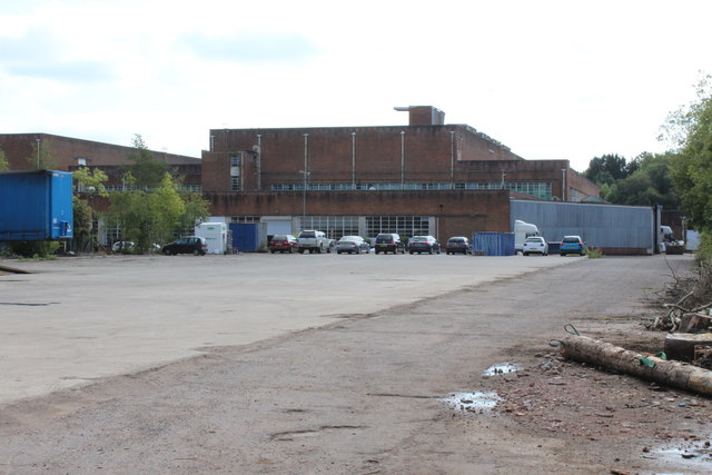
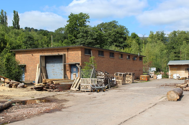
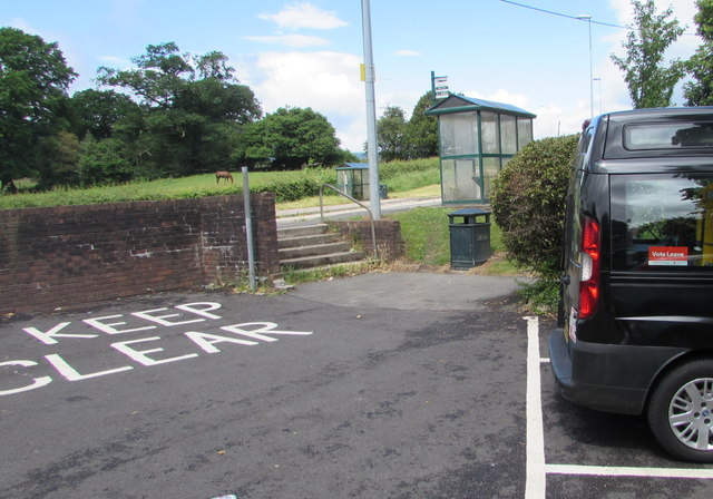
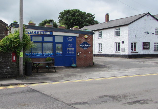
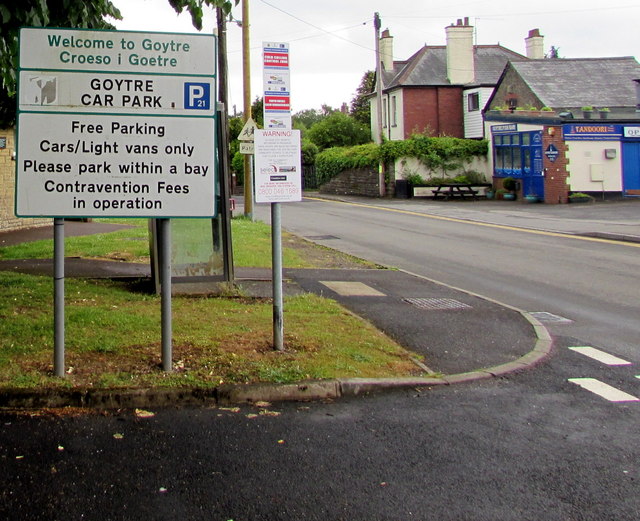
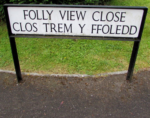
Images are sourced within 2km of 51.724795/-2.9971736 or Grid Reference SO3103. Thanks to Geograph Open Source API. All images are credited.


Upper Brake is located at Grid Ref: SO3103 (Lat: 51.724795, Lng: -2.9971736)
Unitary Authority: Monmouthshire
Police Authority: Gwent
What 3 Words
///arranger.terms.toggle. Near New Inn, Torfaen
Nearby Locations
Related Wikis
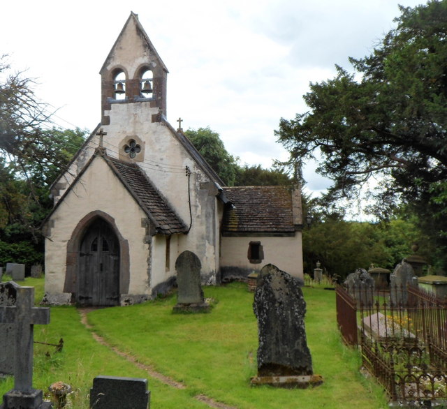
Church of St Illtyd, Mamhilad
The Church of St Illtyd, Mamhilad, Monmouthshire, Wales, is a parish church with its origins in the 11th century. Renovations took place in the 19th century...

A4042 road
The A4042 is a trunk road that runs from Abergavenny to Newport in south Wales. == Route == Starting at the junction of the A40 and A465 south of Abergavenny...

Mamhilad
Mamhilad (Welsh: Mamheilad) is a village in the community of Goetre Fawr in Monmouthshire, south east Wales. == Location == Mamhilad is two miles to the...

Little Mill Junction railway station
Little Mill Junction was a station on the former Coleford, Monmouth, Usk and Pontypool Railway, located between the main Newport, Abergavenny and Hereford...
Nearby Amenities
Located within 500m of 51.724795,-2.9971736Have you been to Upper Brake?
Leave your review of Upper Brake below (or comments, questions and feedback).