Farm Wood

Wood, Forest in Radnorshire

Wales

Farm Wood

The lane between Stapleton Hill and Stapleton looking south-west
The lane between Stapleton Hill and Stapleton Credit: Andrew Longton

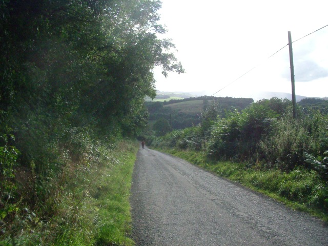
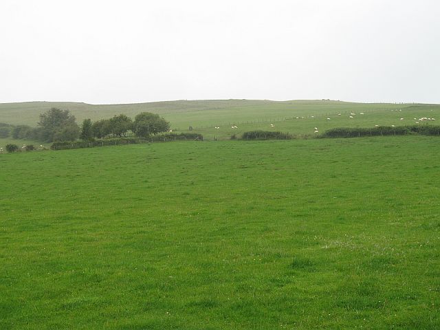
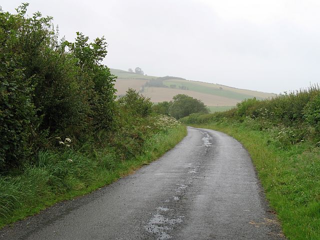
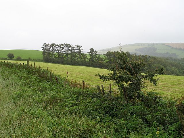
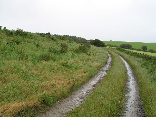
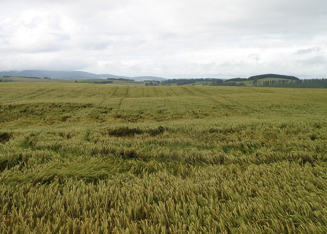
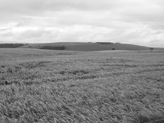
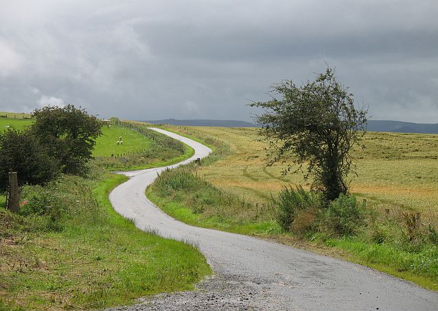
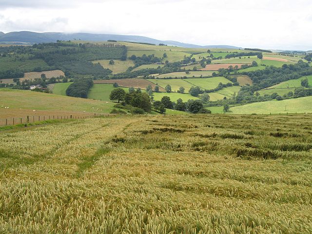
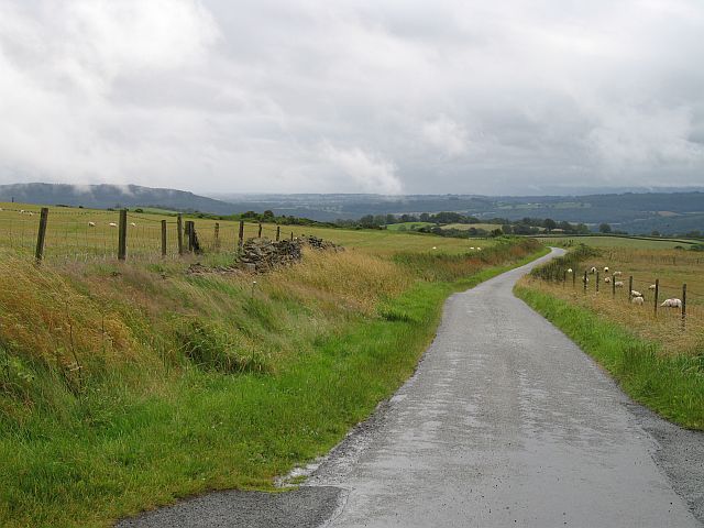
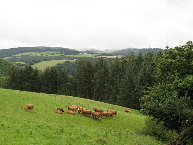
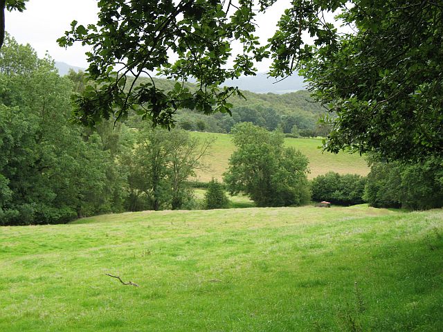
Farm Wood is a beautiful forest located in Radnorshire, Wales. Covering an area of approximately 50 acres, this wood is a mix of both coniferous and deciduous trees, creating a diverse and vibrant ecosystem. The forest is managed sustainably, with careful consideration given to wildlife conservation and habitat preservation.

Visitors to Farm Wood can enjoy a variety of activities such as walking, hiking, bird watching, and photography. The forest is home to a wide range of bird species, including woodpeckers, owls, and various songbirds. Additionally, deer, foxes, and other wildlife can often be spotted roaming through the trees.

Farm Wood is a peaceful and tranquil retreat, offering visitors the opportunity to connect with nature and enjoy the beauty of the Welsh countryside. The forest is well-maintained, with clearly marked trails and picnic areas for visitors to relax and enjoy a leisurely day outdoors.

Overall, Farm Wood in Radnorshire is a picturesque and serene destination for nature enthusiasts and outdoor lovers alike. Its natural beauty and diverse wildlife make it a must-visit location for anyone looking to escape the hustle and bustle of everyday life.

If you have any feedback on the listing, please let us know in the comments section below.
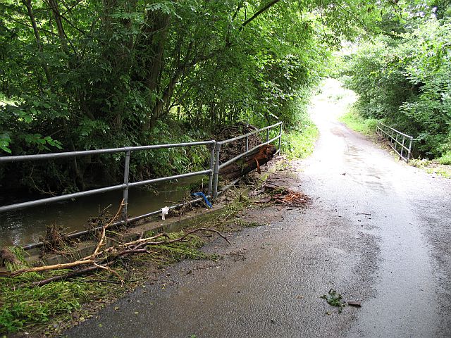
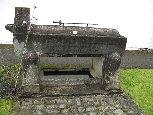
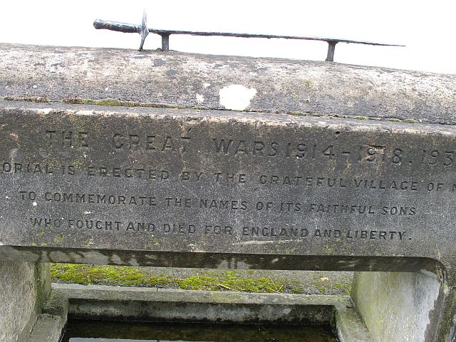
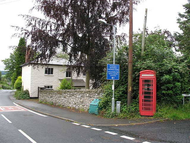
Farm Wood Images

Images are sourced within 2km of 52.304176/-3.0107583 or Grid Reference SO3167. Thanks to Geograph Open Source API. All images are credited.

The lane between Stapleton Hill and Stapleton looking south-west
The lane between Stapleton Hill and Stapleton
looking south-west
The Warren High farmland, Willey. The England - Wales border runs along the skyline. This is the scene of one of the first wind power protests. There has been no development since.
The Warren
High farmland, Willey. The England - Wales border runs along the skyline. This is the scene of one of the first wind power protests. There has been no development since.
Road from Lingen Road up from Lingen to Stonewall Hill, Willey.
Road from Lingen
Road up from Lingen to Stonewall Hill, Willey.
Reeves Hill Hill top farmland at 400m above Tipton Farm.
Reeves Hill
Hill top farmland at 400m above Tipton Farm.
Reeves Hill Farm track running towards Keven.
Reeves Hill
Farm track running towards Keven.
Reeves Hill The Radnorshire side of the road. Barley growing at 400m.
Reeves Hill
The Radnorshire side of the road. Barley growing at 400m.
Reeves Hill High level barley field with the former Powys Observatory on the skyline. The observatory (Spaceguard) is now used to detect and study potentially dangerous Near Earth Objects.
Reeves Hill
High level barley field with the former Powys Observatory on the skyline. The observatory (Spaceguard) is now used to detect and study potentially dangerous Near Earth Objects.
Stonewall Hill The road here separates Herefordshire (left) and Radnorshire (right). Probably named for the dyke that runs beside the road - dry stone walls are rare in the area.
Stonewall Hill
The road here separates Herefordshire (left) and Radnorshire (right). Probably named for the dyke that runs beside the road - dry stone walls are rare in the area.
Stonewall Hill Barley growing on the Welsh side of the road.
Stonewall Hill
Barley growing on the Welsh side of the road.
Stonewall Hill Road descending towards Presteigne with the remains of the stone wall.
Stonewall Hill
Road descending towards Presteigne with the remains of the stone wall.
Near Goat House The Herefordshire side of the Stonewall Hill road. Cattle graze amongst small woods.
Near Goat House
The Herefordshire side of the Stonewall Hill road. Cattle graze amongst small woods.
Shed, Stocken Farm Small shed by a brook on the Herefordshire side of the road up Stonewall Hill.
Shed, Stocken Farm
Small shed by a brook on the Herefordshire side of the road up Stonewall Hill.
Norton Brook Flood debris on a low bridge/culverted road over the Norton Brook.
Norton Brook
Flood debris on a low bridge/culverted road over the Norton Brook.
War memorial, Norton Very unusual war memorial, a trough with an interesting inscription, and not just its reference to England.
"This memorial is erected by the grateful village of Norton to commemorate the names of its faithful sons who fought and died for England and Liberty"

Norton has chosen to remember those who returned as well.
War memorial, Norton
Very unusual war memorial, a trough with an interesting inscription, and not just its reference to England. "This memorial is erected by the grateful village of Norton to commemorate the names of its faithful sons who fought and died for England and Liberty" Norton has chosen to remember those who returned as well.
War memorial, Norton Close up of the inscription. Note the way the 1939-45 war has been added.
War memorial, Norton
Close up of the inscription. Note the way the 1939-45 war has been added.
Norton Phone box, just opposite the church.
Norton
Phone box, just opposite the church.
Churchyard, Norton Wildflowers amongst the gravestones.
Churchyard, Norton
Wildflowers amongst the gravestones.
St Andrews, Norton Quite a substantial church. Was Norton once a rival to nearby Presteigne?
St Andrews, Norton
Quite a substantial church. Was Norton once a rival to nearby Presteigne?
Show me another place!

Farm Wood is located at Grid Ref: SO3167 (Lat: 52.304176, Lng: -3.0107583)

Unitary Authority: Powys

Police Authority: Dyfed Powys

What 3 Words

///hogs.bands.discloses. Near Presteigne, Powys

Related Wikis

St Andrew's Church, Presteigne

St Andrew's Church is a Church of England parish church in Presteigne, Powys, Wales. It was first constructed in the 9th century by the Anglo-Saxons and...

Norton, Powys

Norton is a village in Powys within the historic boundaries of Radnorshire, Wales. In 1086, Norton was recorded as a settlement within the hundred of Leintwardine...

Stapleton, Herefordshire

Stapleton is a small village and civil parish in Herefordshire near the border town of Presteigne in Wales. The parish borders on Willey, Kinsham and Presteigne...

Radnorshire Arms

The Radnorshire Arms is a well-preserved Jacobean building in the Welsh border town of Presteigne, in Powys. The building has the date 1616 over its door...

Related Videos

Welcome to Redwood Valley Woodland Cabin and Yurts

Featured in Guardian Travel and in The Times and The Telegraph as one of Britain's top luxury glampsites, we are a small, ...

Nearby Amenities

Located within 500m of 52.304176,-3.0107583
Bicycle: yes
Lat/Long: 52.3049256/-3.0087366
Bicycle: yes
Lat/Long: 52.3049124/-3.0084228
Bicycle: yes
Lat/Long: 52.3045238/-3.0075108
Bicycle: yes
Lat/Long: 52.304322/-3.0070495
Bicycle: yes
Lat/Long: 52.304263/-3.0067786
Bicycle: yes
Lat/Long: 52.3040311/-3.0066205
Bicycle: yes
Lat/Long: 52.3039188/-3.0064516
Bicycle: yes
Lat/Long: 52.3039735/-3.0065291
Bicycle: yes
Lat/Long: 52.3028207/-3.004889
Power: pole
Lat/Long: 52.302264/-3.0140337
Power: pole
Lat/Long: 52.3028889/-3.0109599
Power: pole
Lat/Long: 52.3025171/-3.0130462
Power: pole
Lat/Long: 52.3027828/-3.0120537
Power: pole
Lat/Long: 52.3017774/-3.0158491
Power: pole
Lat/Long: 52.3020032/-3.0149886
Direction: 165
Generator Method: photovoltaic
Generator Output Electricity: yes
Generator Solar Modules: 16
Generator Source: solar
Generator Type: solar_photovoltaic_panel
Location: roof
Power: generator
Lat/Long: 52.3028976/-3.008253
The data included in this document is from www.openstreetmap.org. The data is made available under ODbL.

Have you been to Farm Wood?

Leave your review of Farm Wood below (or comments, questions and feedback).