Bathground Wood
Wood, Forest in Denbighshire
Wales
Bathground Wood

Bathground Wood, located in Denbighshire, is a picturesque woodland area spanning approximately 40 hectares. Nestled in the rolling hills of North Wales, this forest is a haven for nature enthusiasts and those seeking tranquility in the great outdoors.
The wood is primarily composed of mixed broadleaf trees, including oak, beech, and birch, creating a diverse and vibrant ecosystem. The dense vegetation offers a rich habitat for a variety of wildlife, such as badgers, foxes, and a multitude of bird species. Additionally, Bathground Wood is home to several rare plant species, adding to its ecological significance.
Visitors to Bathground Wood can enjoy a range of recreational activities. There are well-maintained walking trails that meander through the forest, allowing visitors to explore its beauty at their own pace. The wood also features picnic areas, providing an ideal spot for families and friends to relax and enjoy a meal amidst the natural surroundings.
For those interested in history, Bathground Wood holds archaeological significance. The remnants of an ancient hillfort can be found within the forest, offering a glimpse into the area's past and adding an air of mystery to the woodland.
Overall, Bathground Wood in Denbighshire is a captivating natural gem, offering a blend of tranquility, biodiversity, and historical intrigue. Whether one seeks to immerse themselves in nature, spot wildlife, or uncover ancient secrets, this woodland provides a memorable experience for all who visit.
If you have any feedback on the listing, please let us know in the comments section below.
Bathground Wood Images
Images are sourced within 2km of 52.981061/-3.0395069 or Grid Reference SJ3043. Thanks to Geograph Open Source API. All images are credited.


![Plas Wynnstay Wynnstay Hall, now developed into apartments, from the Wat's Dyke Way footpath. According to Pevsner, the house, which was redeveloped after a fire in 1858, is "a High Victorian version of [the] French Renaissance" with "much of the coarseness and little of the gusto associated with the genre". I'm with Pevsner on that.](https://s2.geograph.org.uk/geophotos/07/10/90/7109010_0dfb83d1.jpg)


Bathground Wood is located at Grid Ref: SJ3043 (Lat: 52.981061, Lng: -3.0395069)
Unitary Authority: Wrexham
Police Authority: North Wales
What 3 Words
///fountain.mingles.weekday. Near Ruabon, Wrexham
Nearby Locations
Related Wikis

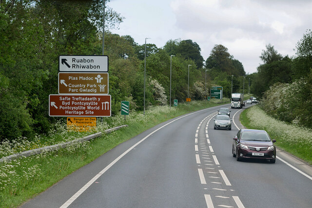
Ruabon
Ruabon (Welsh: Rhiwabon; pronounced [r̥ɪʊˈɑːbɔn]) is a village and community in Wrexham County Borough, Wales. The name comes from Rhiw Fabon, rhiw being...

Bridge End Inn
The Bridge End Inn is a pub in Ruabon, Wales. == History == The Bridge End Inn was formally known as the Bricklayers Arms between the 1850s and 1880s....

Wynnstay Arms Hotel, Ruabon
The Wynnstay Arms is a hotel and pub in Ruabon, Wales. It is located between Park Street and High Street in the village, and dates to an 18th-century coaching...

Lindisfarne College
Lindisfarne College was a private school or independent school. It was founded in 1891 in Westcliff-on-Sea in Essex, England. In 1940 Lindisfarne College...
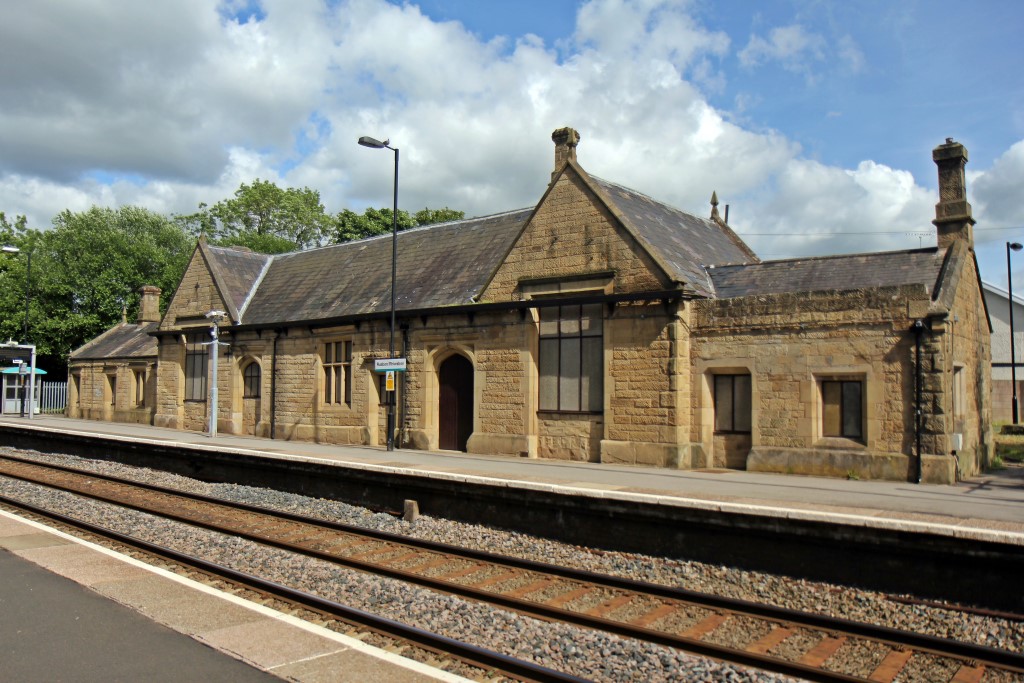
Ruabon railway station
Ruabon railway station (Welsh: Rhiwabon) is a combined rail and bus interchange serving Ruabon, Wrexham County Borough, Wales. It is the second busiest...

Wynnstay
Wynnstay is a country house within an important landscaped park 1.3 km (0.75 miles) south-east of Ruabon, near Wrexham, Wales. Wynnstay, previously Watstay...
Ruabon Grammar School
Ruabon Grammar School was situated in Ruabon, Denbighshire in north-east Wales. It provided a grammar school education to boys in the parishes of Ruabon...
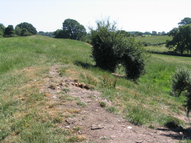
Wat's Dyke
Wat's Dyke (Welsh: Clawdd Wat) is a 40-mile (64 km) linear earthwork running through the northern Welsh Marches from Basingwerk Abbey on the River Dee...
Nearby Amenities
Located within 500m of 52.981061,-3.0395069Have you been to Bathground Wood?
Leave your review of Bathground Wood below (or comments, questions and feedback).