The Coppice

Wood, Forest in Radnorshire

Wales

The Coppice

Reeves Hill The Radnorshire side of the road. Barley growing at 400m.
Reeves Hill Credit: Richard Webb

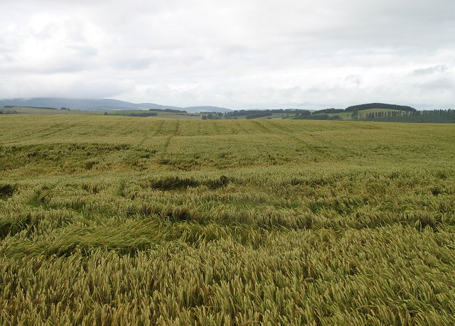
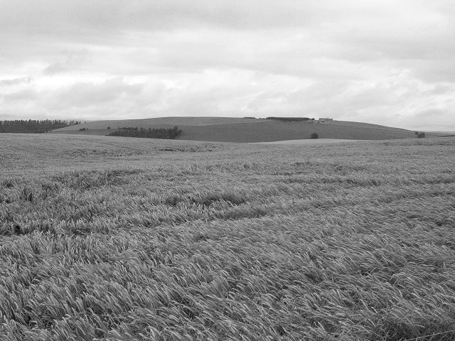
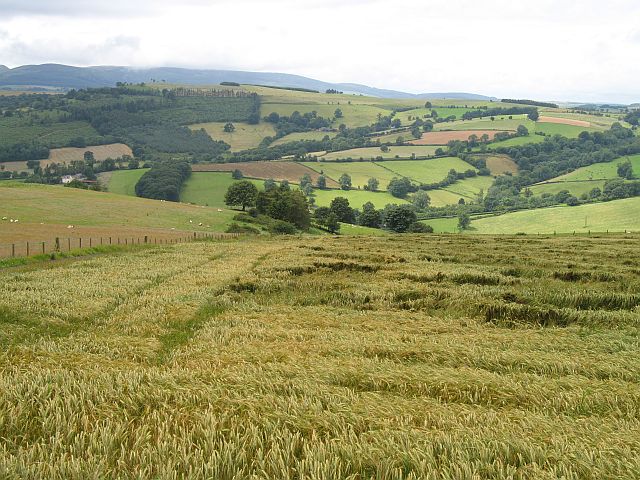
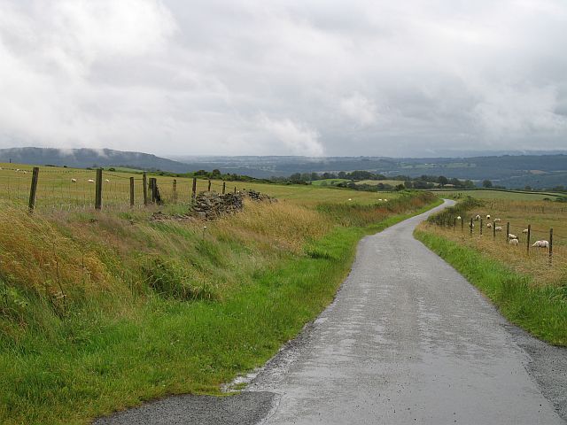
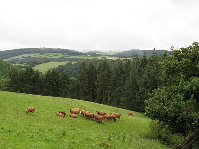
The Coppice is a beautiful wood located in Radnorshire, Wales. Covering an area of approximately 50 acres, this forest is known for its diverse range of flora and fauna. The Coppice is home to a variety of tree species, including oak, beech, and birch, as well as an array of native wildflowers such as bluebells and primroses.

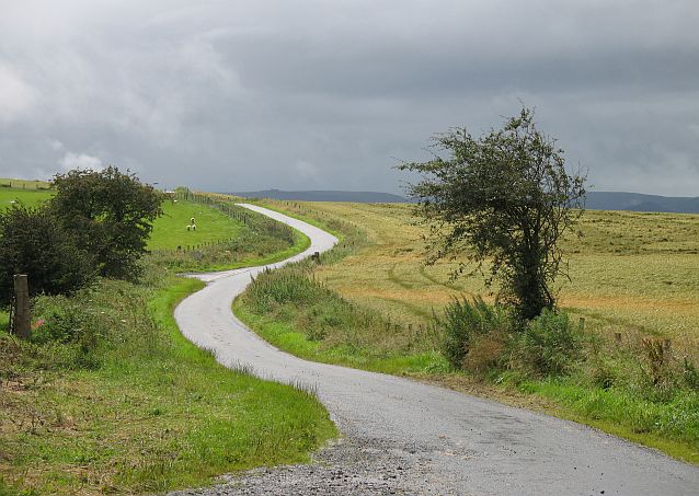
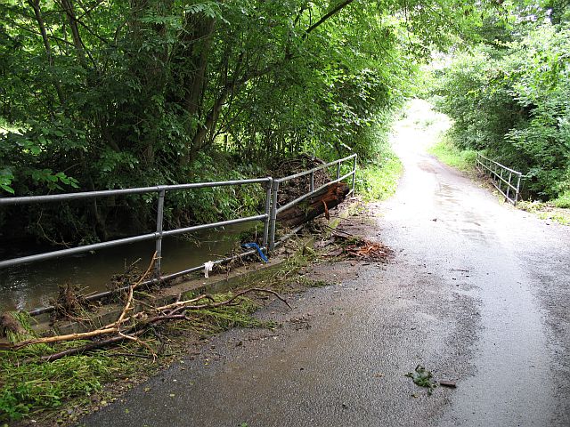
Visitors to The Coppice can enjoy peaceful walks along well-maintained trails that wind through the forest, offering stunning views of the surrounding countryside. The forest is a popular destination for nature lovers, birdwatchers, and photographers, who come to observe the abundant wildlife that inhabits the area, including deer, squirrels, and a variety of bird species.

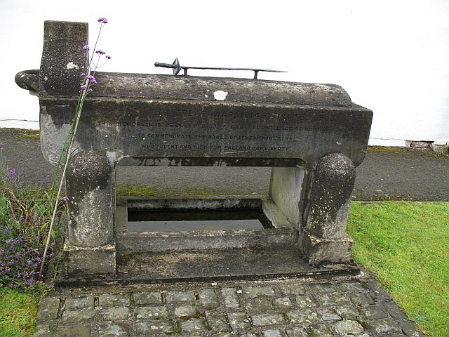
The Coppice also has a rich cultural history, with evidence of ancient settlements and structures dating back to prehistoric times. The forest is a designated Site of Special Scientific Interest, recognizing its importance for biodiversity and conservation.

Overall, The Coppice is a tranquil and picturesque woodland retreat, offering visitors a chance to immerse themselves in the beauty of nature and experience the rich history of Radnorshire.

If you have any feedback on the listing, please let us know in the comments section below.

The Coppice Images

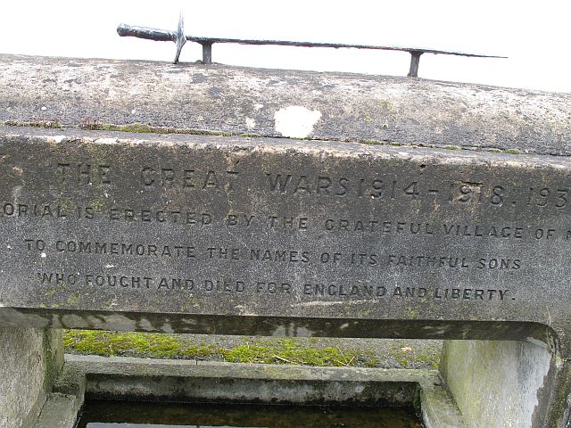
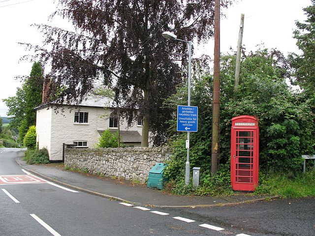
Images are sourced within 2km of 52.306207/-3.0255302 or Grid Reference SO3068. Thanks to Geograph Open Source API. All images are credited.

Reeves Hill The Radnorshire side of the road. Barley growing at 400m.
Reeves Hill
The Radnorshire side of the road. Barley growing at 400m.
Reeves Hill High level barley field with the former Powys Observatory on the skyline. The observatory (Spaceguard) is now used to detect and study potentially dangerous Near Earth Objects.
Reeves Hill
High level barley field with the former Powys Observatory on the skyline. The observatory (Spaceguard) is now used to detect and study potentially dangerous Near Earth Objects.
Stonewall Hill The road here separates Herefordshire (left) and Radnorshire (right). Probably named for the dyke that runs beside the road - dry stone walls are rare in the area.
Stonewall Hill
The road here separates Herefordshire (left) and Radnorshire (right). Probably named for the dyke that runs beside the road - dry stone walls are rare in the area.
Stonewall Hill Barley growing on the Welsh side of the road.
Stonewall Hill
Barley growing on the Welsh side of the road.
Stonewall Hill Road descending towards Presteigne with the remains of the stone wall.
Stonewall Hill
Road descending towards Presteigne with the remains of the stone wall.
Near Goat House The Herefordshire side of the Stonewall Hill road. Cattle graze amongst small woods.
Near Goat House
The Herefordshire side of the Stonewall Hill road. Cattle graze amongst small woods.
Norton Brook Flood debris on a low bridge/culverted road over the Norton Brook.
Norton Brook
Flood debris on a low bridge/culverted road over the Norton Brook.
War memorial, Norton Very unusual war memorial, a trough with an interesting inscription, and not just its reference to England.
"This memorial is erected by the grateful village of Norton to commemorate the names of its faithful sons who fought and died for England and Liberty"

Norton has chosen to remember those who returned as well.
War memorial, Norton
Very unusual war memorial, a trough with an interesting inscription, and not just its reference to England. "This memorial is erected by the grateful village of Norton to commemorate the names of its faithful sons who fought and died for England and Liberty" Norton has chosen to remember those who returned as well.
War memorial, Norton Close up of the inscription. Note the way the 1939-45 war has been added.
War memorial, Norton
Close up of the inscription. Note the way the 1939-45 war has been added.
Norton Phone box, just opposite the church.
Norton
Phone box, just opposite the church.
Churchyard, Norton Wildflowers amongst the gravestones.
Churchyard, Norton
Wildflowers amongst the gravestones.
St Andrews, Norton Quite a substantial church. Was Norton once a rival to nearby Presteigne?
St Andrews, Norton
Quite a substantial church. Was Norton once a rival to nearby Presteigne?
St Andrews, Norton The font under the bell tower.
St Andrews, Norton
The font under the bell tower.
St Andrew's Norton
St Andrew's Norton
Junction on Meeting House Lane
Meeting House Farm, Meeting House Lane Beyond the farm, Meeting House Lane becomes an un-made track before eventually running into Farrington Lane.
Meeting House Farm, Meeting House Lane
Beyond the farm, Meeting House Lane becomes an un-made track before eventually running into Farrington Lane.
Victorian post box This Victorian postbox is located within a wall opposite St Andrews Church, Norton, Powys.
Victorian post box
This Victorian postbox is located within a wall opposite St Andrews Church, Norton, Powys.
Stonewall Hill lane North along Stonewall Hill towards Knighton.
Stonewall Hill lane
North along Stonewall Hill towards Knighton.
Show me another place!

The Coppice is located at Grid Ref: SO3068 (Lat: 52.306207, Lng: -3.0255302)

Unitary Authority: Powys

Police Authority: Dyfed Powys

What 3 Words

///pairings.salutes.subsystem. Near Whitton, Powys

Related Wikis

St Andrew's Church, Presteigne

St Andrew's Church is a Church of England parish church in Presteigne, Powys, Wales. It was first constructed in the 9th century by the Anglo-Saxons and...

Norton, Powys

Norton is a village in Powys within the historic boundaries of Radnorshire, Wales. In 1086, Norton was recorded as a settlement within the hundred of Leintwardine...

Radnorshire Arms

The Radnorshire Arms is a well-preserved Jacobean building in the Welsh border town of Presteigne, in Powys. The building has the date 1616 over its door...

Presteigne

Presteigne (; Welsh: Llanandras: the church of St. Andrew) is a town and community in Radnorshire, Powys, Wales on the south bank of the River Lugg. Formerly...

Nearby Amenities

Located within 500m of 52.306207,-3.0255302
Place: farm
Lat/Long: 52.303673/-3.0305917
Power: pole
Lat/Long: 52.3045076/-3.0193365
Power: pole
Lat/Long: 52.3089018/-3.0210876
Power: pole
Lat/Long: 52.308036/-3.0207629
Power: pole
Lat/Long: 52.3060548/-3.0192582
Power: pole
Lat/Long: 52.3089214/-3.0212028
Power: pole
Lat/Long: 52.3067452/-3.0194969
Power: pole
Lat/Long: 52.3046657/-3.018829
Power: pole
Lat/Long: 52.3088804/-3.0201594
Power: pole
Lat/Long: 52.3074097/-3.0196956
Power: pole
Lat/Long: 52.3081458/-3.019926
Power: pole
Lat/Long: 52.3054004/-3.0197061
Power: pole
Lat/Long: 52.3094019/-3.0207736
Power: pole
Lat/Long: 52.3052922/-3.0190303
Power: pole
Lat/Long: 52.308377/-3.022391
Power: pole
Lat/Long: 52.3067452/-3.0202184
Power: pole
Lat/Long: 52.3086377/-3.0218331
Direction: 190
Generator Method: photovoltaic
Generator Output Electricity: yes
Generator Solar Modules: 34
Generator Source: solar
Generator Type: solar_photovoltaic_panel
Location: roof
Power: generator
Lat/Long: 52.3048846/-3.025804
Direction: 145
Generator Method: photovoltaic
Generator Output Electricity: yes
Generator Solar Modules: 16
Generator Source: solar
Generator Type: solar_photovoltaic_panel
Location: roof
Power: generator
Lat/Long: 52.3102505/-3.0274147
The data included in this document is from www.openstreetmap.org. The data is made available under ODbL.

Have you been to The Coppice?

Leave your review of The Coppice below (or comments, questions and feedback).