Coed y Bedw

Wood, Forest in Monmouthshire

Wales

Coed y Bedw

Pant-yr-eos Reservoir seen from Upper Grippath
Pant-yr-eos Reservoir seen from Upper Grippath Credit: David Smith

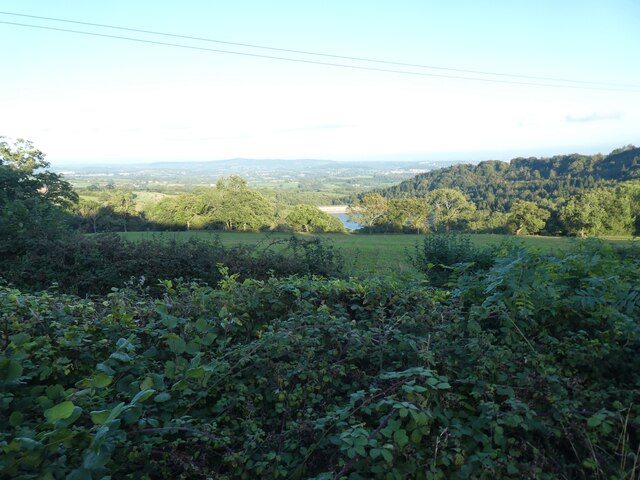
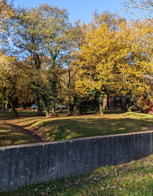
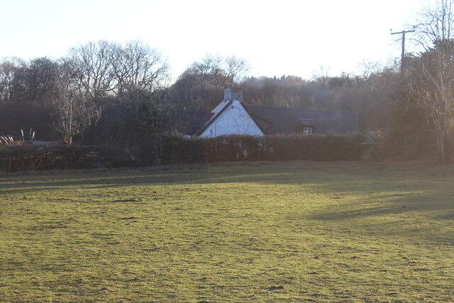
Coed y Bedw is a stunning woodland located in Monmouthshire, Wales. Covering an area of approximately 100 hectares, it is a haven for nature lovers and outdoor enthusiasts. The name Coed y Bedw translates to "Wood of the Birch Trees," which perfectly captures the essence of this enchanting forest.

The woodland is predominantly made up of native broadleaf trees, including oak, beech, and birch. These towering trees create a dense canopy that provides a tranquil and shaded environment for visitors. Walking through the woodland, visitors can enjoy the mesmerizing sight of dappled sunlight filtering through the leaves, creating a magical atmosphere.

Coed y Bedw is home to a diverse range of wildlife. The forest floor is adorned with a rich tapestry of wildflowers, including bluebells and primroses, providing a vibrant burst of color. Birdwatchers will be delighted by the variety of avian species that call this woodland home, including woodpeckers, nuthatches, and warblers.

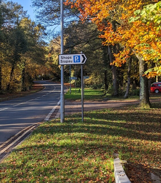
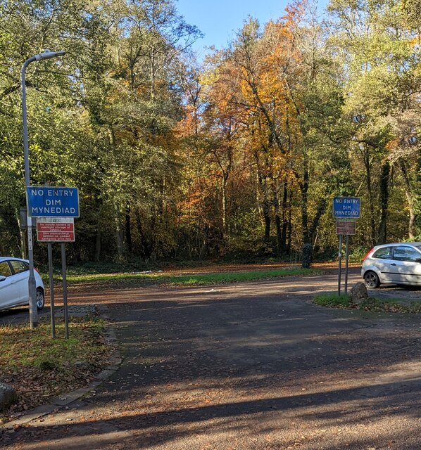
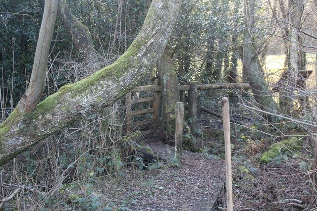
The woodland offers a network of well-maintained footpaths, allowing visitors to explore its beauty at their own pace. There are also picnic areas and benches scattered throughout the forest, providing the perfect opportunity to sit back, relax, and soak in the natural surroundings.

Coed y Bedw is a popular destination for nature walks, family outings, and photography enthusiasts. Its serene ambiance and breathtaking scenery make it a must-visit location for anyone seeking solace in nature's embrace.

If you have any feedback on the listing, please let us know in the comments section below.
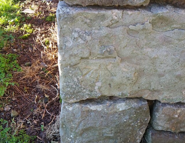
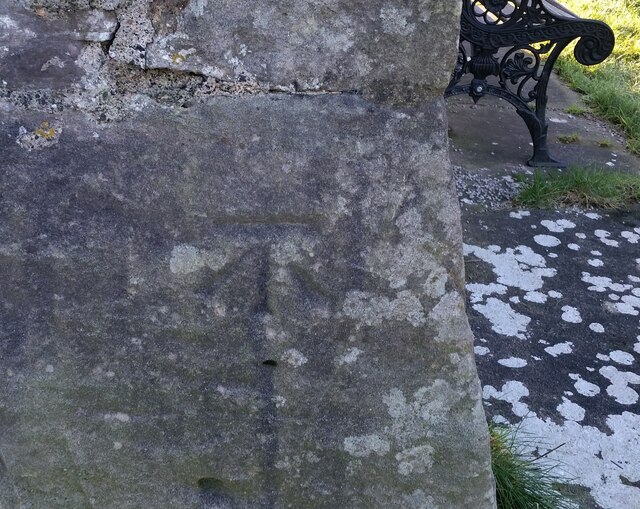
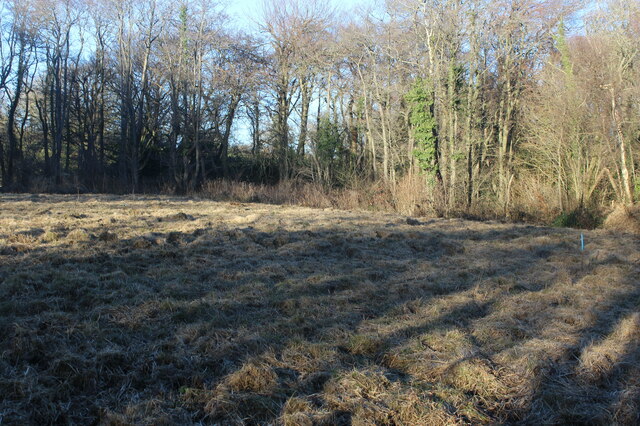
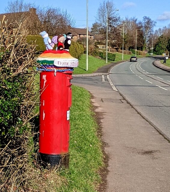
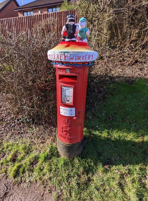
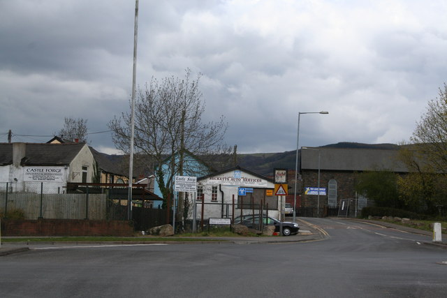
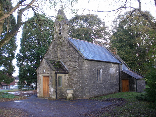
Coed y Bedw Images

Images are sourced within 2km of 51.62694/-3.0547783 or Grid Reference ST2792. Thanks to Geograph Open Source API. All images are credited.

Pant-yr-eos Reservoir seen from Upper Grippath
Fairwater Post Office bus stop and shelter, Cwmbran Located alongside a loop on the north side of Fairwater Way.
A No Entry sign behind the camera shows "Except buses".
Fairwater Post Office bus stop and shelter, Cwmbran
Located alongside a loop on the north side of Fairwater Way. A No Entry sign behind the camera shows "Except buses".
Bench, bin and bus shelter, Fairwater, Cwmbran Set back from the north side of Fairwater Way.
Bench, bin and bus shelter, Fairwater, Cwmbran
Set back from the north side of Fairwater Way.
Telecoms mast and cabinets, Fairwater, Cwmbran Recently installed mast viewed in November 2021.
An older mast <a title="https://www.geograph.org.uk/photo/5149531" href="https://www.geograph.org.uk/photo/5149531">Link</a> is near the camera.
Telecoms mast and cabinets, Fairwater, Cwmbran
Recently installed mast viewed in November 2021. An older mast Link is near the camera.
Autumn colours, Fairwater, Cwmbran Viewed on November 14th 2021.
Autumn colours, Fairwater, Cwmbran
Viewed on November 14th 2021.
Direction sign alongside Fairwater Way, Cwmbran Turn right here for a free car park near shops and Fairwater Post Office. Siopau is Welsh for Shops.
Direction sign alongside Fairwater Way, Cwmbran
Turn right here for a free car park near shops and Fairwater Post Office. Siopau is Welsh for Shops.
Car park exit, Fairwater, Cwmbran Accessed from Fairwater Way, this free car park is near shops and Fairwater Post Office. Signs show "NO ENTRY" and the Welsh equivalent.
Car park exit, Fairwater, Cwmbran
Accessed from Fairwater Way, this free car park is near shops and Fairwater Post Office. Signs show "NO ENTRY" and the Welsh equivalent.
Ordnance Survey Pivot This OS pivot can be found on the rock NW side of the track. It marks a point 741.6ft above mean sea level.
Ordnance Survey Pivot
This OS pivot can be found on the rock NW side of the track. It marks a point 741.6ft above mean sea level.
Ordnance Survey Cut Mark This OS cut mark can be found on the barn at Cwrt Henllys Farm. It marks a point 168.951m above mean sea level.
Ordnance Survey Cut Mark
This OS cut mark can be found on the barn at Cwrt Henllys Farm. It marks a point 168.951m above mean sea level.
Ordnance Survey Cut Mark This OS cut mark can be found on the NW angle of St Peter's Church. It marks a point 82.104m above mean sea level.
Ordnance Survey Cut Mark
This OS cut mark can be found on the NW angle of St Peter's Church. It marks a point 82.104m above mean sea level.
Mire, Henllys Bog Local Nature Reserve The dominant tussocks of purple moor-grass and invasive scrub have just been cut by a Gwent Wildlife Trust working party, and the cut vegetation removed in order to promote the growth of rare wetland plants. The blue pipe is to enable the subterranean water level to be assessed. Maps show the area as deciduous woodland but trees are found only on the edge of the Trust's reserve.
Mire, Henllys Bog Local Nature Reserve
The dominant tussocks of purple moor-grass and invasive scrub have just been cut by a Gwent Wildlife Trust working party, and the cut vegetation removed in order to promote the growth of rare wetland plants. The blue pipe is to enable the subterranean water level to be assessed. Maps show the area as deciduous woodland but trees are found only on the edge of the Trust's reserve.
Boardwalk at entrance to Henllys Bog LNR Wooden boardwalk over stream and wet ground inside the kissing gate entrance to Gwent Wildlife Trust's reserve.
Boardwalk at entrance to Henllys Bog LNR
Wooden boardwalk over stream and wet ground inside the kissing gate entrance to Gwent Wildlife Trust's reserve.
Pandy-mawr Farm The building beyond the field is the historic farmhouse and barn.
Pandy-mawr Farm
The building beyond the field is the historic farmhouse and barn.
NW along Sycamore Court, Henllys, Cwmbran From the corner of Henllys Way.
NW along Sycamore Court, Henllys, Cwmbran
From the corner of Henllys Way.
Bilingual name sign, Sycamore Court, Henllys, Cwmbran Sycamore Court is Cwrt Sycamor in Welsh.
Bilingual name sign, Sycamore Court, Henllys, Cwmbran
Sycamore Court is Cwrt Sycamor in Welsh.
Junction of Sycamore Court and Henllys Way, Cwmbran From the left, Sycamore Court joins Henllys Way.
Junction of Sycamore Court and Henllys Way, Cwmbran
From the left, Sycamore Court joins Henllys Way.
Colourful hat on a pillarbox, Henllys Way, Cwmbran Alongside Henllys Way near the corner of Sycamore Court viewed on January 30th 2022. <a title="https://www.geograph.org.uk/photo/7083554" href="https://www.geograph.org.uk/photo/7083554">Link</a> to a closer view.
Colourful hat on a pillarbox, Henllys Way, Cwmbran
Alongside Henllys Way near the corner of Sycamore Court viewed on January 30th 2022. Link to a closer view.
Thank You Key Workers, Henllys Way, Cwmbran THANK YOU KEY WORKERS is part of the colourful woollen hat on top of this <a title="https://www.geograph.org.uk/photo/7083546" href="https://www.geograph.org.uk/photo/7083546">Link</a> pillar box in January 2022.
Thank You Key Workers, Henllys Way, Cwmbran
THANK YOU KEY WORKERS is part of the colourful woollen hat on top of this Link pillar box in January 2022.
Show me another place!

Coed y Bedw is located at Grid Ref: ST2792 (Lat: 51.62694, Lng: -3.0547783)

Unitary Authority: Torfaen

Police Authority: Gwent

What 3 Words

///slide.wedge.successes. Near Cwmbran, Torfaen
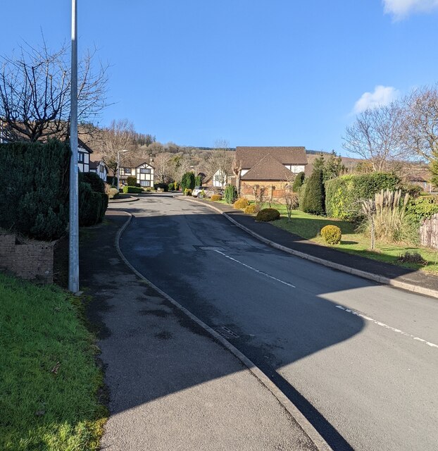
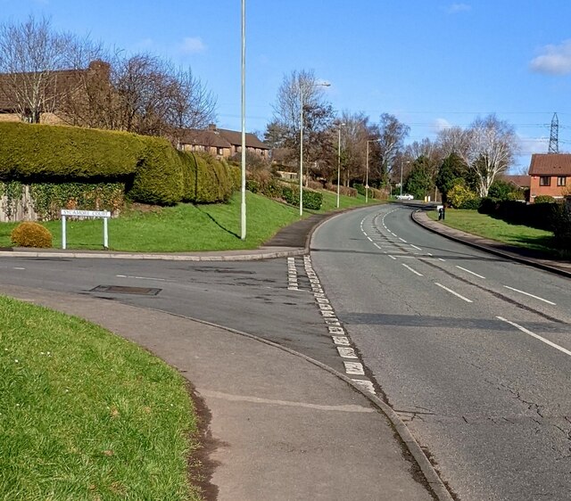
Related Wikis

Coed Eva

Coed Eva (Welsh: Coed Efa) is a suburb of Cwmbran in Torfaen County Borough, Wales. It lies in the preserved county of Gwent and within the historic boundaries...

Henllys, Torfaen

Henllys means 'ancient court' with hen 'ancient' and llys 'court'. The name may refer to the former administrative court of the lordship of Machen Today...

Fairwater, Torfaen

Fairwater is a community and suburb of Cwmbran in the county borough of Torfaen, in south east Wales, and was built by the Cwmbran Development Corporation...

Cwmbran High School

Cwmbran High School (Welsh: Ysgol Uwchradd Cwmbran), previously known as Fairwater High School, is a state-funded and non-selective comprehensive school...

Two Locks

Two Locks is a suburb of Cwmbran in the county borough of Torfaen, in south-east Wales. The locks in question are part of the Monmouthshire & Brecon Canal...

Risca Community Comprehensive School

Risca Community Comprehensive School is a community comprehensive school located in the town of Risca near Newport on the eastern side of the Caerphilly...

St Dials

St Dials is a suburb of Cwmbran in the county borough of Torfaen, in south-east Wales. == History == Nothing is known about the Saint after which the suburb...

Bettws, Newport

Bettws (Welsh: Betws) is a large modern housing estate, electoral ward and coterminous community (parish) of the city of Newport, South Wales. == Etymology... ==

Nearby Amenities

Located within 500m of 51.62694,-3.0547783
Created By: GPSBabel-1.3.6
Lat/Long: 51.627745/-3.050656
Created By: GPSBabel-1.3.6
Lat/Long: 51.627415/-3.050773
Created By: GPSBabel-1.3.6
Lat/Long: 51.629077/-3.050462
Created By: GPSBabel-1.3.6
Lat/Long: 51.628972/-3.050453
Created By: GPSBabel-1.3.6
Lat/Long: 51.62918/-3.050487
Created By: GPSBabel-1.3.6
Lat/Long: 51.628268/-3.050511
Created By: GPSBabel-1.3.6
Lat/Long: 51.628166/-3.050547
Created By: GPSBabel-1.3.6
Lat/Long: 51.630968/-3.051725
Restaurant
Castell-bwch Inn
Lat/Long: 51.6268209/-3.0507712
Power: pole
Lat/Long: 51.6308815/-3.0572569
Power: pole
Lat/Long: 51.6299758/-3.0571979
Power: pole
Lat/Long: 51.6271952/-3.0567527
Power: pole
Lat/Long: 51.6262495/-3.0565864
Power: pole
Lat/Long: 51.6245444/-3.0570799
The data included in this document is from www.openstreetmap.org. The data is made available under ODbL.

Have you been to Coed y Bedw?

Leave your review of Coed y Bedw below (or comments, questions and feedback).