Henllys Vale

Settlement in Monmouthshire

Wales

Henllys Vale

Farm bridge over Monmouthshire and Brecon Canal south of Tamplin Lock The Monmouthshire and Brecon Canal (popularly referred to as the Mon & Brec) was originally two separate canals: the Brecknock & Abergavenny Canal, and the Monmouthshire Canal. The 35-mile navigable section seen today is mostly the former. Following discussions in the 1790s, it was decided to link the two canals at Pontymoile. The Monmouthshire Canal, including a branch from Malpas to Crumlin, was opened in 1799 with the Brecknock & Abergavenny extending from Brecon to Gilwern by 1800, finally reaching Pontymoile by 1812.

Though originally constructed to transport coal, lime and agricultural products the canal was used extensively by ironmasters and industrialists as their main transport network, bringing the raw iron ore up the canal from Newport to Llanfoist Wharf and thence by tramroads to the iron works and returning with trams loaded with iron, the finished product. 

In 1880 the Monmouthshire & Brecon Canals were taken over by the Great Western Railway. Within 35 years, commercial carrying had all but ceased. Throughout the 20th century various parts of the Monmouthshire Canal were filled in for road construction. Both canals were abandoned by the early 1960s but restoration work from Brecon to Pontymoile began in 1968 following vigorous campaigning by canal enthusiasts. Recent developments have included a complete regeneration of the terminus at Brecon, and various works continue to reclaim the navigation between Pontymoile and Newport. The Blaenavon area and a section of the canal were granted World Heritage status in 2000 in recognition of its historical significance. 
<span class="nowrap"><a title="https://canalrivertrust.org.uk/enjoy-the-waterways/canal-and-river-network/monmouthshire-and-brecon-canal" rel="nofollow ugc noopener" href="https://canalrivertrust.org.uk/enjoy-the-waterways/canal-and-river-network/monmouthshire-and-brecon-canal">Link</a><img style="margin-left:2px;" alt="External link" title="External link - shift click to open in new window" src="https://s1.geograph.org.uk/img/external.png" width="10" height="10"/></span>  Canal and River Trust
Farm bridge over Monmouthshire and Brecon Canal south of Tamplin Lock Credit: David Smith

The requested URL returned error: 429 Too Many Requests

If you have any feedback on the listing, please let us know in the comments section below.
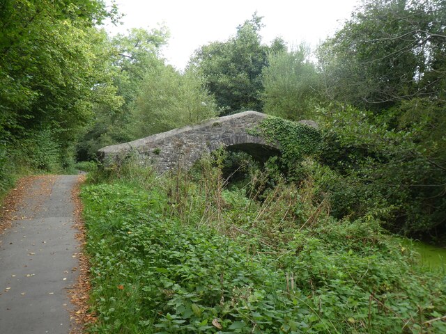
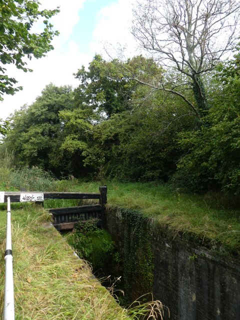
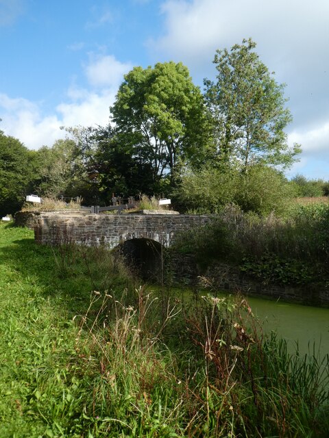
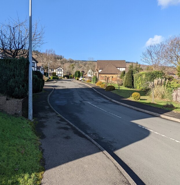
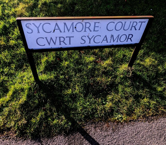
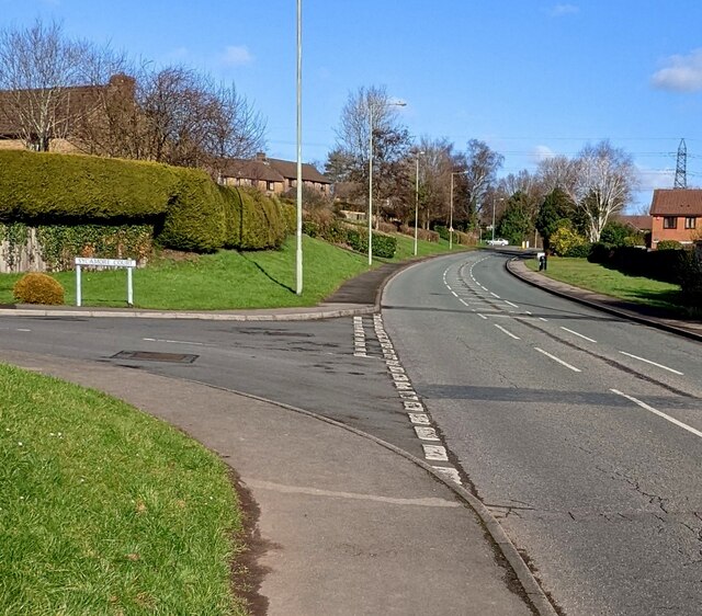
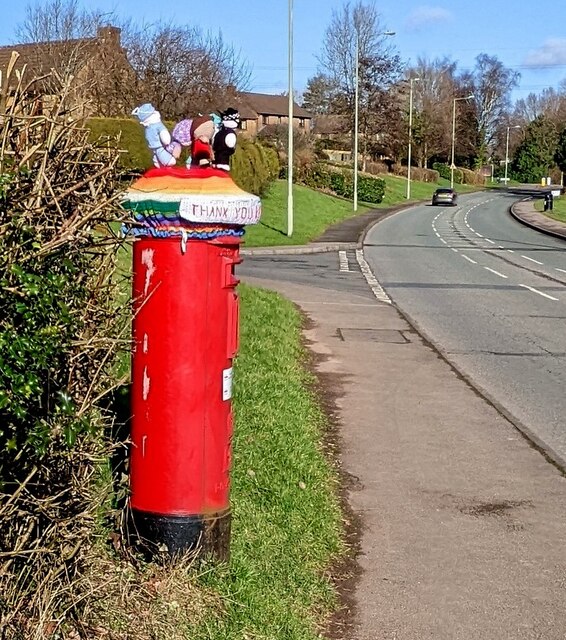
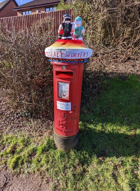
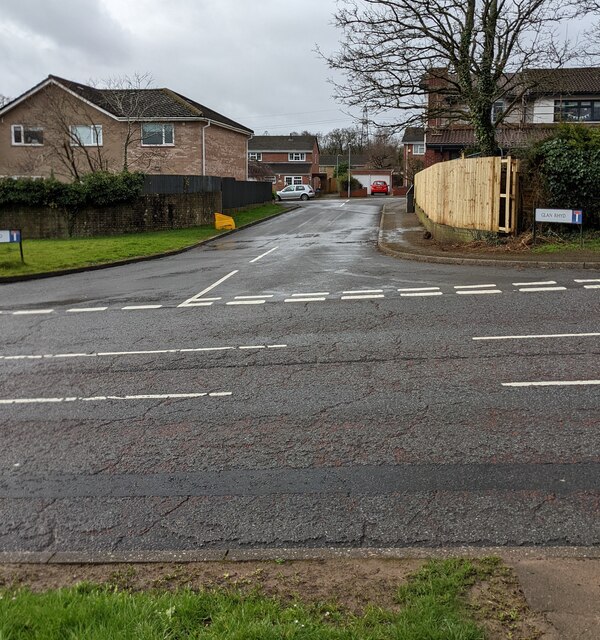
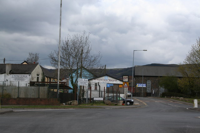
Henllys Vale Images

Images are sourced within 2km of 51.625543/-3.046203 or Grid Reference ST2792. Thanks to Geograph Open Source API. All images are credited.

Farm bridge over Monmouthshire and Brecon Canal south of Tamplin Lock The Monmouthshire and Brecon Canal (popularly referred to as the Mon & Brec) was originally two separate canals: the Brecknock & Abergavenny Canal, and the Monmouthshire Canal. The 35-mile navigable section seen today is mostly the former. Following discussions in the 1790s, it was decided to link the two canals at Pontymoile. The Monmouthshire Canal, including a branch from Malpas to Crumlin, was opened in 1799 with the Brecknock & Abergavenny extending from Brecon to Gilwern by 1800, finally reaching Pontymoile by 1812.

Though originally constructed to transport coal, lime and agricultural products the canal was used extensively by ironmasters and industrialists as their main transport network, bringing the raw iron ore up the canal from Newport to Llanfoist Wharf and thence by tramroads to the iron works and returning with trams loaded with iron, the finished product. 

In 1880 the Monmouthshire & Brecon Canals were taken over by the Great Western Railway. Within 35 years, commercial carrying had all but ceased. Throughout the 20th century various parts of the Monmouthshire Canal were filled in for road construction. Both canals were abandoned by the early 1960s but restoration work from Brecon to Pontymoile began in 1968 following vigorous campaigning by canal enthusiasts. Recent developments have included a complete regeneration of the terminus at Brecon, and various works continue to reclaim the navigation between Pontymoile and Newport. The Blaenavon area and a section of the canal were granted World Heritage status in 2000 in recognition of its historical significance. 
<span class="nowrap"><a title="https://canalrivertrust.org.uk/enjoy-the-waterways/canal-and-river-network/monmouthshire-and-brecon-canal" rel="nofollow ugc noopener" href="https://canalrivertrust.org.uk/enjoy-the-waterways/canal-and-river-network/monmouthshire-and-brecon-canal">Link</a><img style="margin-left:2px;" alt="External link" title="External link - shift click to open in new window" src="https://s1.geograph.org.uk/img/external.png" width="10" height="10"/></span>  Canal and River Trust
Farm bridge over Monmouthshire and Brecon Canal south of Tamplin Lock
The Monmouthshire and Brecon Canal (popularly referred to as the Mon & Brec) was originally two separate canals: the Brecknock & Abergavenny Canal, and the Monmouthshire Canal. The 35-mile navigable section seen today is mostly the former. Following discussions in the 1790s, it was decided to link the two canals at Pontymoile. The Monmouthshire Canal, including a branch from Malpas to Crumlin, was opened in 1799 with the Brecknock & Abergavenny extending from Brecon to Gilwern by 1800, finally reaching Pontymoile by 1812. Though originally constructed to transport coal, lime and agricultural products the canal was used extensively by ironmasters and industrialists as their main transport network, bringing the raw iron ore up the canal from Newport to Llanfoist Wharf and thence by tramroads to the iron works and returning with trams loaded with iron, the finished product. In 1880 the Monmouthshire & Brecon Canals were taken over by the Great Western Railway. Within 35 years, commercial carrying had all but ceased. Throughout the 20th century various parts of the Monmouthshire Canal were filled in for road construction. Both canals were abandoned by the early 1960s but restoration work from Brecon to Pontymoile began in 1968 following vigorous campaigning by canal enthusiasts. Recent developments have included a complete regeneration of the terminus at Brecon, and various works continue to reclaim the navigation between Pontymoile and Newport. The Blaenavon area and a section of the canal were granted World Heritage status in 2000 in recognition of its historical significance. LinkExternal link Canal and River Trust
Tamplin Lock on Monmouthshire and Brecon Canal The Monmouthshire and Brecon Canal (popularly referred to as the Mon & Brec) was originally two separate canals: the Brecknock & Abergavenny Canal, and the Monmouthshire Canal. The 35-mile navigable section seen today is mostly the former. Following discussions in the 1790s, it was decided to link the two canals at Pontymoile. The Monmouthshire Canal, including a branch from Malpas to Crumlin, was opened in 1799 with the Brecknock & Abergavenny extending from Brecon to Gilwern by 1800, finally reaching Pontymoile by 1812.

Though originally constructed to transport coal, lime and agricultural products the canal was used extensively by ironmasters and industrialists as their main transport network, bringing the raw iron ore up the canal from Newport to Llanfoist Wharf and thence by tramroads to the iron works and returning with trams loaded with iron, the finished product. 

In 1880 the Monmouthshire & Brecon Canals were taken over by the Great Western Railway. Within 35 years, commercial carrying had all but ceased. Throughout the 20th century various parts of the Monmouthshire Canal were filled in for road construction. Both canals were abandoned by the early 1960s but restoration work from Brecon to Pontymoile began in 1968 following vigorous campaigning by canal enthusiasts. Recent developments have included a complete regeneration of the terminus at Brecon, and various works continue to reclaim the navigation between Pontymoile and Newport. The Blaenavon area and a section of the canal were granted World Heritage status in 2000 in recognition of its historical significance. 
<span class="nowrap"><a title="https://canalrivertrust.org.uk/enjoy-the-waterways/canal-and-river-network/monmouthshire-and-brecon-canal" rel="nofollow ugc noopener" href="https://canalrivertrust.org.uk/enjoy-the-waterways/canal-and-river-network/monmouthshire-and-brecon-canal">Link</a><img style="margin-left:2px;" alt="External link" title="External link - shift click to open in new window" src="https://s1.geograph.org.uk/img/external.png" width="10" height="10"/></span>  Canal and River Trust
Tamplin Lock on Monmouthshire and Brecon Canal
The Monmouthshire and Brecon Canal (popularly referred to as the Mon & Brec) was originally two separate canals: the Brecknock & Abergavenny Canal, and the Monmouthshire Canal. The 35-mile navigable section seen today is mostly the former. Following discussions in the 1790s, it was decided to link the two canals at Pontymoile. The Monmouthshire Canal, including a branch from Malpas to Crumlin, was opened in 1799 with the Brecknock & Abergavenny extending from Brecon to Gilwern by 1800, finally reaching Pontymoile by 1812. Though originally constructed to transport coal, lime and agricultural products the canal was used extensively by ironmasters and industrialists as their main transport network, bringing the raw iron ore up the canal from Newport to Llanfoist Wharf and thence by tramroads to the iron works and returning with trams loaded with iron, the finished product. In 1880 the Monmouthshire & Brecon Canals were taken over by the Great Western Railway. Within 35 years, commercial carrying had all but ceased. Throughout the 20th century various parts of the Monmouthshire Canal were filled in for road construction. Both canals were abandoned by the early 1960s but restoration work from Brecon to Pontymoile began in 1968 following vigorous campaigning by canal enthusiasts. Recent developments have included a complete regeneration of the terminus at Brecon, and various works continue to reclaim the navigation between Pontymoile and Newport. The Blaenavon area and a section of the canal were granted World Heritage status in 2000 in recognition of its historical significance. LinkExternal link Canal and River Trust
Drapers Lock bridge over Monmouthshire and Brecon Canal The Monmouthshire and Brecon Canal (popularly referred to as the Mon & Brec) was originally two separate canals: the Brecknock & Abergavenny Canal, and the Monmouthshire Canal. The 35-mile navigable section seen today is mostly the former. Following discussions in the 1790s, it was decided to link the two canals at Pontymoile. The Monmouthshire Canal, including a branch from Malpas to Crumlin, was opened in 1799 with the Brecknock & Abergavenny extending from Brecon to Gilwern by 1800, finally reaching Pontymoile by 1812.

Though originally constructed to transport coal, lime and agricultural products the canal was used extensively by ironmasters and industrialists as their main transport network, bringing the raw iron ore up the canal from Newport to Llanfoist Wharf and thence by tramroads to the iron works and returning with trams loaded with iron, the finished product. 

In 1880 the Monmouthshire & Brecon Canals were taken over by the Great Western Railway. Within 35 years, commercial carrying had all but ceased. Throughout the 20th century various parts of the Monmouthshire Canal were filled in for road construction. Both canals were abandoned by the early 1960s but restoration work from Brecon to Pontymoile began in 1968 following vigorous campaigning by canal enthusiasts. Recent developments have included a complete regeneration of the terminus at Brecon, and various works continue to reclaim the navigation between Pontymoile and Newport. The Blaenavon area and a section of the canal were granted World Heritage status in 2000 in recognition of its historical significance. 
<span class="nowrap"><a title="https://canalrivertrust.org.uk/enjoy-the-waterways/canal-and-river-network/monmouthshire-and-brecon-canal" rel="nofollow ugc noopener" href="https://canalrivertrust.org.uk/enjoy-the-waterways/canal-and-river-network/monmouthshire-and-brecon-canal">Link</a><img style="margin-left:2px;" alt="External link" title="External link - shift click to open in new window" src="https://s1.geograph.org.uk/img/external.png" width="10" height="10"/></span>  Canal and River Trust
Drapers Lock bridge over Monmouthshire and Brecon Canal
The Monmouthshire and Brecon Canal (popularly referred to as the Mon & Brec) was originally two separate canals: the Brecknock & Abergavenny Canal, and the Monmouthshire Canal. The 35-mile navigable section seen today is mostly the former. Following discussions in the 1790s, it was decided to link the two canals at Pontymoile. The Monmouthshire Canal, including a branch from Malpas to Crumlin, was opened in 1799 with the Brecknock & Abergavenny extending from Brecon to Gilwern by 1800, finally reaching Pontymoile by 1812. Though originally constructed to transport coal, lime and agricultural products the canal was used extensively by ironmasters and industrialists as their main transport network, bringing the raw iron ore up the canal from Newport to Llanfoist Wharf and thence by tramroads to the iron works and returning with trams loaded with iron, the finished product. In 1880 the Monmouthshire & Brecon Canals were taken over by the Great Western Railway. Within 35 years, commercial carrying had all but ceased. Throughout the 20th century various parts of the Monmouthshire Canal were filled in for road construction. Both canals were abandoned by the early 1960s but restoration work from Brecon to Pontymoile began in 1968 following vigorous campaigning by canal enthusiasts. Recent developments have included a complete regeneration of the terminus at Brecon, and various works continue to reclaim the navigation between Pontymoile and Newport. The Blaenavon area and a section of the canal were granted World Heritage status in 2000 in recognition of its historical significance. LinkExternal link Canal and River Trust
Shared path by Monmouthshire and Brecon Canal south of Bottom Lock The Monmouthshire and Brecon Canal (popularly referred to as the Mon & Brec) was originally two separate canals: the Brecknock & Abergavenny Canal, and the Monmouthshire Canal. The 35-mile navigable section seen today is mostly the former. Following discussions in the 1790s, it was decided to link the two canals at Pontymoile. The Monmouthshire Canal, including a branch from Malpas to Crumlin, was opened in 1799 with the Brecknock & Abergavenny extending from Brecon to Gilwern by 1800, finally reaching Pontymoile by 1812.

Though originally constructed to transport coal, lime and agricultural products the canal was used extensively by ironmasters and industrialists as their main transport network, bringing the raw iron ore up the canal from Newport to Llanfoist Wharf and thence by tramroads to the iron works and returning with trams loaded with iron, the finished product. 

In 1880 the Monmouthshire & Brecon Canals were taken over by the Great Western Railway. Within 35 years, commercial carrying had all but ceased. Throughout the 20th century various parts of the Monmouthshire Canal were filled in for road construction. Both canals were abandoned by the early 1960s but restoration work from Brecon to Pontymoile began in 1968 following vigorous campaigning by canal enthusiasts. Recent developments have included a complete regeneration of the terminus at Brecon, and various works continue to reclaim the navigation between Pontymoile and Newport. The Blaenavon area and a section of the canal were granted World Heritage status in 2000 in recognition of its historical significance. 
<span class="nowrap"><a title="https://canalrivertrust.org.uk/enjoy-the-waterways/canal-and-river-network/monmouthshire-and-brecon-canal" rel="nofollow ugc noopener" href="https://canalrivertrust.org.uk/enjoy-the-waterways/canal-and-river-network/monmouthshire-and-brecon-canal">Link</a><img style="margin-left:2px;" alt="External link" title="External link - shift click to open in new window" src="https://s1.geograph.org.uk/img/external.png" width="10" height="10"/></span>  Canal and River Trust
Shared path by Monmouthshire and Brecon Canal south of Bottom Lock
The Monmouthshire and Brecon Canal (popularly referred to as the Mon & Brec) was originally two separate canals: the Brecknock & Abergavenny Canal, and the Monmouthshire Canal. The 35-mile navigable section seen today is mostly the former. Following discussions in the 1790s, it was decided to link the two canals at Pontymoile. The Monmouthshire Canal, including a branch from Malpas to Crumlin, was opened in 1799 with the Brecknock & Abergavenny extending from Brecon to Gilwern by 1800, finally reaching Pontymoile by 1812. Though originally constructed to transport coal, lime and agricultural products the canal was used extensively by ironmasters and industrialists as their main transport network, bringing the raw iron ore up the canal from Newport to Llanfoist Wharf and thence by tramroads to the iron works and returning with trams loaded with iron, the finished product. In 1880 the Monmouthshire & Brecon Canals were taken over by the Great Western Railway. Within 35 years, commercial carrying had all but ceased. Throughout the 20th century various parts of the Monmouthshire Canal were filled in for road construction. Both canals were abandoned by the early 1960s but restoration work from Brecon to Pontymoile began in 1968 following vigorous campaigning by canal enthusiasts. Recent developments have included a complete regeneration of the terminus at Brecon, and various works continue to reclaim the navigation between Pontymoile and Newport. The Blaenavon area and a section of the canal were granted World Heritage status in 2000 in recognition of its historical significance. LinkExternal link Canal and River Trust
Bottom Lock on Monmouthshire and Brecon Canal The Monmouthshire and Brecon Canal (popularly referred to as the Mon & Brec) was originally two separate canals: the Brecknock & Abergavenny Canal, and the Monmouthshire Canal. The 35-mile navigable section seen today is mostly the former. Following discussions in the 1790s, it was decided to link the two canals at Pontymoile. The Monmouthshire Canal, including a branch from Malpas to Crumlin, was opened in 1799 with the Brecknock & Abergavenny extending from Brecon to Gilwern by 1800, finally reaching Pontymoile by 1812.

Though originally constructed to transport coal, lime and agricultural products the canal was used extensively by ironmasters and industrialists as their main transport network, bringing the raw iron ore up the canal from Newport to Llanfoist Wharf and thence by tramroads to the iron works and returning with trams loaded with iron, the finished product. 

In 1880 the Monmouthshire & Brecon Canals were taken over by the Great Western Railway. Within 35 years, commercial carrying had all but ceased. Throughout the 20th century various parts of the Monmouthshire Canal were filled in for road construction. Both canals were abandoned by the early 1960s but restoration work from Brecon to Pontymoile began in 1968 following vigorous campaigning by canal enthusiasts. Recent developments have included a complete regeneration of the terminus at Brecon, and various works continue to reclaim the navigation between Pontymoile and Newport. The Blaenavon area and a section of the canal were granted World Heritage status in 2000 in recognition of its historical significance. 
<span class="nowrap"><a title="https://canalrivertrust.org.uk/enjoy-the-waterways/canal-and-river-network/monmouthshire-and-brecon-canal" rel="nofollow ugc noopener" href="https://canalrivertrust.org.uk/enjoy-the-waterways/canal-and-river-network/monmouthshire-and-brecon-canal">Link</a><img style="margin-left:2px;" alt="External link" title="External link - shift click to open in new window" src="https://s1.geograph.org.uk/img/external.png" width="10" height="10"/></span>  Canal and River Trust
Bottom Lock on Monmouthshire and Brecon Canal
The Monmouthshire and Brecon Canal (popularly referred to as the Mon & Brec) was originally two separate canals: the Brecknock & Abergavenny Canal, and the Monmouthshire Canal. The 35-mile navigable section seen today is mostly the former. Following discussions in the 1790s, it was decided to link the two canals at Pontymoile. The Monmouthshire Canal, including a branch from Malpas to Crumlin, was opened in 1799 with the Brecknock & Abergavenny extending from Brecon to Gilwern by 1800, finally reaching Pontymoile by 1812. Though originally constructed to transport coal, lime and agricultural products the canal was used extensively by ironmasters and industrialists as their main transport network, bringing the raw iron ore up the canal from Newport to Llanfoist Wharf and thence by tramroads to the iron works and returning with trams loaded with iron, the finished product. In 1880 the Monmouthshire & Brecon Canals were taken over by the Great Western Railway. Within 35 years, commercial carrying had all but ceased. Throughout the 20th century various parts of the Monmouthshire Canal were filled in for road construction. Both canals were abandoned by the early 1960s but restoration work from Brecon to Pontymoile began in 1968 following vigorous campaigning by canal enthusiasts. Recent developments have included a complete regeneration of the terminus at Brecon, and various works continue to reclaim the navigation between Pontymoile and Newport. The Blaenavon area and a section of the canal were granted World Heritage status in 2000 in recognition of its historical significance. LinkExternal link Canal and River Trust
Cycle underpass under Hollybush Way Underpass beside the Monmouthshire and Brecon Canal
Cycle underpass under Hollybush Way
Underpass beside the Monmouthshire and Brecon Canal
Monmouthshire and Brecon Canal in Ty Coch The Monmouthshire and Brecon Canal (popularly referred to as the Mon & Brec) was originally two separate canals: the Brecknock & Abergavenny Canal, and the Monmouthshire Canal. The 35-mile navigable section seen today is mostly the former. Following discussions in the 1790s, it was decided to link the two canals at Pontymoile. The Monmouthshire Canal, including a branch from Malpas to Crumlin, was opened in 1799 with the Brecknock & Abergavenny extending from Brecon to Gilwern by 1800, finally reaching Pontymoile by 1812.

Though originally constructed to transport coal, lime and agricultural products the canal was used extensively by ironmasters and industrialists as their main transport network, bringing the raw iron ore up the canal from Newport to Llanfoist Wharf and thence by tramroads to the iron works and returning with trams loaded with iron, the finished product. 

In 1880 the Monmouthshire & Brecon Canals were taken over by the Great Western Railway. Within 35 years, commercial carrying had all but ceased. Throughout the 20th century various parts of the Monmouthshire Canal were filled in for road construction. Both canals were abandoned by the early 1960s but restoration work from Brecon to Pontymoile began in 1968 following vigorous campaigning by canal enthusiasts. Recent developments have included a complete regeneration of the terminus at Brecon, and various works continue to reclaim the navigation between Pontymoile and Newport. The Blaenavon area and a section of the canal were granted World Heritage status in 2000 in recognition of its historical significance. 
<span class="nowrap"><a title="https://canalrivertrust.org.uk/enjoy-the-waterways/canal-and-river-network/monmouthshire-and-brecon-canal" rel="nofollow ugc noopener" href="https://canalrivertrust.org.uk/enjoy-the-waterways/canal-and-river-network/monmouthshire-and-brecon-canal">Link</a><img style="margin-left:2px;" alt="External link" title="External link - shift click to open in new window" src="https://s1.geograph.org.uk/img/external.png" width="10" height="10"/></span>  Canal and River Trust
Monmouthshire and Brecon Canal in Ty Coch
The Monmouthshire and Brecon Canal (popularly referred to as the Mon & Brec) was originally two separate canals: the Brecknock & Abergavenny Canal, and the Monmouthshire Canal. The 35-mile navigable section seen today is mostly the former. Following discussions in the 1790s, it was decided to link the two canals at Pontymoile. The Monmouthshire Canal, including a branch from Malpas to Crumlin, was opened in 1799 with the Brecknock & Abergavenny extending from Brecon to Gilwern by 1800, finally reaching Pontymoile by 1812. Though originally constructed to transport coal, lime and agricultural products the canal was used extensively by ironmasters and industrialists as their main transport network, bringing the raw iron ore up the canal from Newport to Llanfoist Wharf and thence by tramroads to the iron works and returning with trams loaded with iron, the finished product. In 1880 the Monmouthshire & Brecon Canals were taken over by the Great Western Railway. Within 35 years, commercial carrying had all but ceased. Throughout the 20th century various parts of the Monmouthshire Canal were filled in for road construction. Both canals were abandoned by the early 1960s but restoration work from Brecon to Pontymoile began in 1968 following vigorous campaigning by canal enthusiasts. Recent developments have included a complete regeneration of the terminus at Brecon, and various works continue to reclaim the navigation between Pontymoile and Newport. The Blaenavon area and a section of the canal were granted World Heritage status in 2000 in recognition of its historical significance. LinkExternal link Canal and River Trust
Ordnance Survey Cut Mark This OS cut mark can be found on the barn at Cwrt Henllys Farm. It marks a point 168.951m above mean sea level.
Ordnance Survey Cut Mark
This OS cut mark can be found on the barn at Cwrt Henllys Farm. It marks a point 168.951m above mean sea level.
Ordnance Survey Cut Mark This OS cut mark can be found on the NW angle of St Peter's Church. It marks a point 82.104m above mean sea level.
Ordnance Survey Cut Mark
This OS cut mark can be found on the NW angle of St Peter's Church. It marks a point 82.104m above mean sea level.
Mire, Henllys Bog Local Nature Reserve The dominant tussocks of purple moor-grass and invasive scrub have just been cut by a Gwent Wildlife Trust working party, and the cut vegetation removed in order to promote the growth of rare wetland plants. The blue pipe is to enable the subterranean water level to be assessed. Maps show the area as deciduous woodland but trees are found only on the edge of the Trust's reserve.
Mire, Henllys Bog Local Nature Reserve
The dominant tussocks of purple moor-grass and invasive scrub have just been cut by a Gwent Wildlife Trust working party, and the cut vegetation removed in order to promote the growth of rare wetland plants. The blue pipe is to enable the subterranean water level to be assessed. Maps show the area as deciduous woodland but trees are found only on the edge of the Trust's reserve.
Boardwalk at entrance to Henllys Bog LNR Wooden boardwalk over stream and wet ground inside the kissing gate entrance to Gwent Wildlife Trust's reserve.
Boardwalk at entrance to Henllys Bog LNR
Wooden boardwalk over stream and wet ground inside the kissing gate entrance to Gwent Wildlife Trust's reserve.
Pandy-mawr Farm The building beyond the field is the historic farmhouse and barn.
Pandy-mawr Farm
The building beyond the field is the historic farmhouse and barn.
NW along Sycamore Court, Henllys, Cwmbran From the corner of Henllys Way.
NW along Sycamore Court, Henllys, Cwmbran
From the corner of Henllys Way.
Bilingual name sign, Sycamore Court, Henllys, Cwmbran Sycamore Court is Cwrt Sycamor in Welsh.
Bilingual name sign, Sycamore Court, Henllys, Cwmbran
Sycamore Court is Cwrt Sycamor in Welsh.
Junction of Sycamore Court and Henllys Way, Cwmbran From the left, Sycamore Court joins Henllys Way.
Junction of Sycamore Court and Henllys Way, Cwmbran
From the left, Sycamore Court joins Henllys Way.
Colourful hat on a pillarbox, Henllys Way, Cwmbran Alongside Henllys Way near the corner of Sycamore Court viewed on January 30th 2022. <a title="https://www.geograph.org.uk/photo/7083554" href="https://www.geograph.org.uk/photo/7083554">Link</a> to a closer view.
Colourful hat on a pillarbox, Henllys Way, Cwmbran
Alongside Henllys Way near the corner of Sycamore Court viewed on January 30th 2022. Link to a closer view.
Thank You Key Workers, Henllys Way, Cwmbran THANK YOU KEY WORKERS is part of the colourful woollen hat on top of this <a title="https://www.geograph.org.uk/photo/7083546" href="https://www.geograph.org.uk/photo/7083546">Link</a> pillar box in January 2022.
Thank You Key Workers, Henllys Way, Cwmbran
THANK YOU KEY WORKERS is part of the colourful woollen hat on top of this Link pillar box in January 2022.
Glan Rhyd, Coed Eva, Cwmbran Looking to the SSW across Penylan Way towards the road named Glan Rhyd.
Glan Rhyd, Coed Eva, Cwmbran
Looking to the SSW across Penylan Way towards the road named Glan Rhyd.
Show me another place!

Henllys Vale is located at Grid Ref: ST2792 (Lat: 51.625543, Lng: -3.046203)

Unitary Authority: Torfaen

Police Authority: Gwent

What 3 Words

///neon.racks.left. Near Cwmbran, Torfaen

Related Wikis

Coed Eva

Coed Eva (Welsh: Coed Efa) is a suburb of Cwmbran in Torfaen County Borough, Wales. It lies in the preserved county of Gwent and within the historic boundaries...

Henllys, Torfaen

Henllys means 'ancient court' with hen 'ancient' and llys 'court'. The name may refer to the former administrative court of the lordship of Machen Today...

Fairwater, Torfaen

Fairwater is a community and suburb of Cwmbran in the county borough of Torfaen, in south east Wales, and was built by the Cwmbran Development Corporation...

Two Locks

Two Locks is a suburb of Cwmbran in the county borough of Torfaen, in south-east Wales. The locks in question are part of the Monmouthshire & Brecon Canal...

Nearby Amenities

Located within 500m of 51.625543,-3.046203
Created By: GPSBabel-1.3.6
Lat/Long: 51.627745/-3.050656
Created By: GPSBabel-1.3.6
Lat/Long: 51.627415/-3.050773
Created By: GPSBabel-1.3.6
Lat/Long: 51.629077/-3.050462
Created By: GPSBabel-1.3.6
Lat/Long: 51.628972/-3.050453
Created By: GPSBabel-1.3.6
Lat/Long: 51.628268/-3.050511
Created By: GPSBabel-1.3.6
Lat/Long: 51.628166/-3.050547
Restaurant
Castell-bwch Inn
Lat/Long: 51.6268209/-3.0507712
The data included in this document is from www.openstreetmap.org. The data is made available under ODbL.

Have you been to Henllys Vale?

Leave your review of Henllys Vale below (or comments, questions and feedback).