Caerwent

Settlement in Monmouthshire

Wales

Caerwent

Vine Tree Cottage, Caerwent On the east side of School Lane near the Pound Lane junction.
Vine Tree Cottage, Caerwent Credit: Jaggery

Caerwent is a historic village located in Monmouthshire, Wales. Situated about 5 miles west of Chepstow, it lies amidst picturesque countryside and is known for its rich historical significance. Originally known as Venta Silurum, it was an important Roman settlement dating back to the 1st century AD.

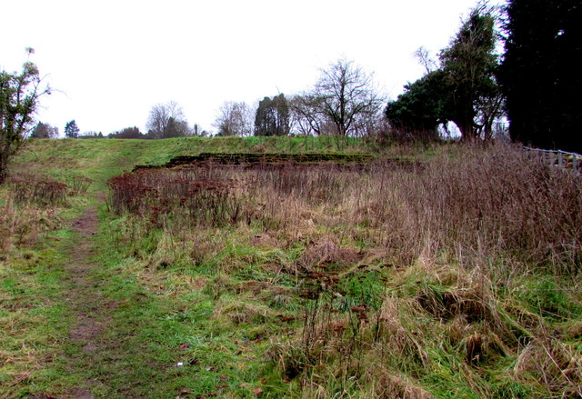
The village is home to one of the best-preserved Roman towns in Britain, boasting remarkable archaeological remains. The ancient walls, which still encircle the town, stretch over a mile in length and are a prominent feature of Caerwent's landscape. Within these walls, visitors can explore the remains of Roman houses, a forum, a marketplace, and a number of other structures, providing a fascinating glimpse into the town's past.

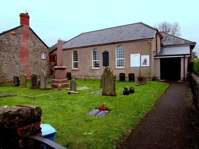
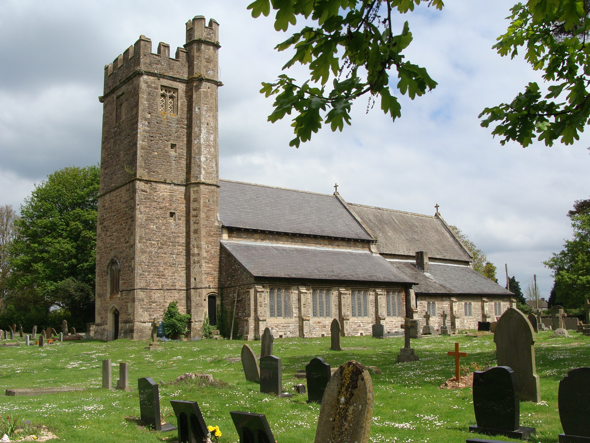
In addition to its Roman heritage, Caerwent has a charming medieval church called St. Stephen and St. Tathan. This Grade I listed building features a Norman tower and has undergone various additions and renovations over the centuries.

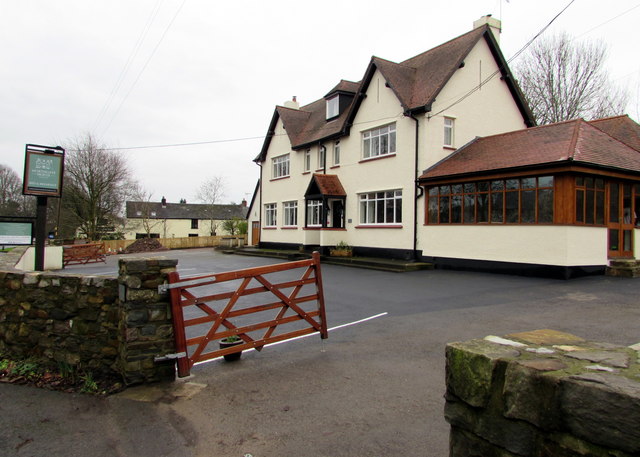
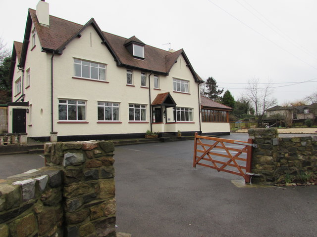
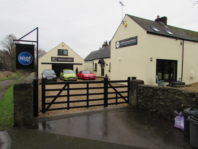
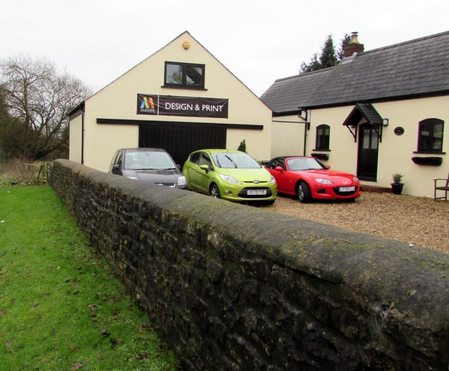
Caerwent is a small village with a close-knit community. It offers a peaceful and idyllic setting, surrounded by beautiful countryside. The village is home to a handful of amenities including a village hall, a primary school, and a local pub.

Due to its historical significance, Caerwent attracts tourists and history enthusiasts from all over the world. Its well-preserved Roman remains and quaint village atmosphere make it a must-visit destination for those interested in exploring the rich heritage of Monmouthshire and the Roman era in Britain.

If you have any feedback on the listing, please let us know in the comments section below.
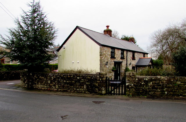
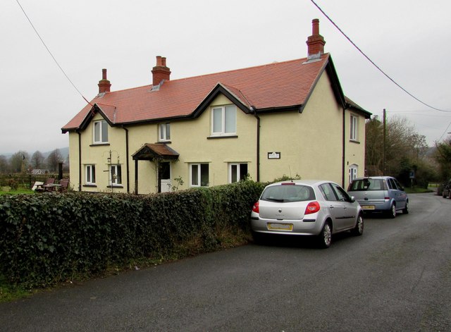
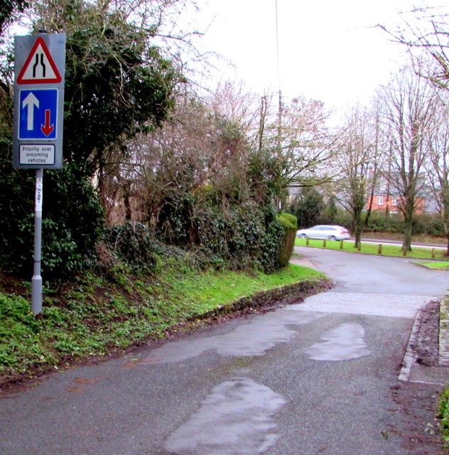
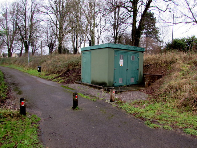
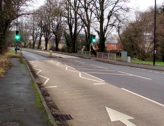
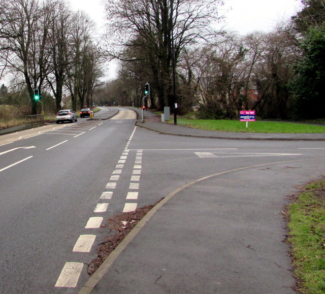
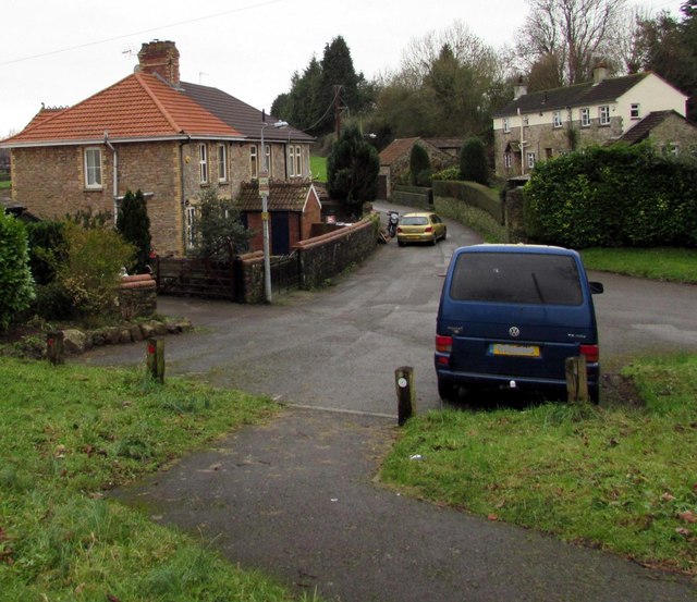
Caerwent Images

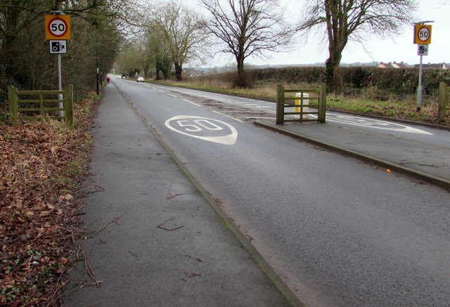
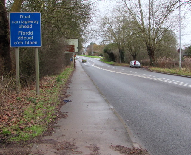
Images are sourced within 2km of 51.611001/-2.767008 or Grid Reference ST4690. Thanks to Geograph Open Source API. All images are credited.

Vine Tree Cottage, Caerwent On the east side of School Lane near the Pound Lane junction.
Vine Tree Cottage, Caerwent
On the east side of School Lane near the Pound Lane junction.
Chapel and burial ground, Caerwent Caerwent Evangelical Baptist Chapel is on the east side of School Lane, about 100 metres south of the A48.
The chapel's website states that the chapel has been a place of worship since 1815.
Chapel and burial ground, Caerwent
Caerwent Evangelical Baptist Chapel is on the east side of School Lane, about 100 metres south of the A48. The chapel's website states that the chapel has been a place of worship since 1815.
Bumble Bee Cottage, Caerwent On the west side of School Lane, opposite Caerwent Evangelical Baptist Chapel. <a title="https://www.geograph.org.uk/photo/4806137" href="https://www.geograph.org.uk/photo/4806137">Link</a>
Bumble Bee Cottage was formerly named Widows Cottage.
Bumble Bee Cottage, Caerwent
On the west side of School Lane, opposite Caerwent Evangelical Baptist Chapel. Link Bumble Bee Cottage was formerly named Widows Cottage.
Road signs near the northern end of School Lane, Caerwent Road narrows and priority over oncoming vehicles signs are on the approach to the A48.
Road signs near the northern end of School Lane, Caerwent
Road narrows and priority over oncoming vehicles signs are on the approach to the A48.
Northgate House B&B, Caerwent Guesthouse set back from the south side of the A48, viewed in January 2016.
This was the Northgate Inn <a title="https://www.geograph.org.uk/photo/2803701" href="https://www.geograph.org.uk/photo/2803701">Link</a> in March 2011.
Northgate House B&B, Caerwent
Guesthouse set back from the south side of the A48, viewed in January 2016. This was the Northgate Inn Link in March 2011.
Guesthouse formerly a pub, Caerwent In January 2016, this is Northgate House, a bed & breakfast guesthouse set back from the south side of the A48. This was the Northgate Inn <a title="https://www.geograph.org.uk/photo/2803701k" href="https://www.geograph.org.uk/photo/2803701k">Link</a> in March 2011.
Guesthouse formerly a pub, Caerwent
In January 2016, this is Northgate House, a bed & breakfast guesthouse set back from the south side of the A48. This was the Northgate Inn Link in March 2011.
Two businesses alongside the A48, Caerwent That Media Group head office <a title="https://www.geograph.org.uk/photo/4806187" href="https://www.geograph.org.uk/photo/4806187">Link</a> is on the left. 
Spot Music (guitar and drums lessons) on the right. <a title="https://www.geograph.org.uk/photo/4806179" href="https://www.geograph.org.uk/photo/4806179">Link</a>
Two businesses alongside the A48, Caerwent
That Media Group head office Link is on the left. Spot Music (guitar and drums lessons) on the right. Link
Green Lane Studio, Caerwent Premises of Spot Music, on the south side of the A48. 
Spot Music provides professional guitar, drum, bass and music theory tuition.
Green Lane Studio, Caerwent
Premises of Spot Music, on the south side of the A48. Spot Music provides professional guitar, drum, bass and music theory tuition.
That Media Group head office, Caerwent Located in Green Lane Studio on the south side of the A48. The company website states
"That Media Group provides consultancy in design, marketing, print and web. We’ll see the whole picture
and take you through from design concepts to marketing strategy to printed materials to web presence".
That Media Group head office, Caerwent
Located in Green Lane Studio on the south side of the A48. The company website states "That Media Group provides consultancy in design, marketing, print and web. We’ll see the whole picture and take you through from design concepts to marketing strategy to printed materials to web presence".
Track past an Ancient Roman wall, Caerwent Viewed from a gate on the south side of the A48. The wall is one of many remnants of the Ancient Roman town of Venta Silurum to be seen in Caerwent. Venta was set up by the Romans in 75 AD as an administrative centre for the defeated Silures tribe.
Track past an Ancient Roman wall, Caerwent
Viewed from a gate on the south side of the A48. The wall is one of many remnants of the Ancient Roman town of Venta Silurum to be seen in Caerwent. Venta was set up by the Romans in 75 AD as an administrative centre for the defeated Silures tribe.
Gas installation below the A48 in Caerwent The large green box is a Wales & West Utilities gas installation.
The small green bin is for dog waste only - no litter.
The A48 is above the grassy bank.
Gas installation below the A48 in Caerwent
The large green box is a Wales & West Utilities gas installation. The small green bin is for dog waste only - no litter. The A48 is above the grassy bank.
Dinham Road, Caerwent On the north side of the A48.
Dinham Road, Caerwent
On the north side of the A48.
Wales & West Utilities gas installation, Caerwent Alongside a footpath at the bottom of a bank below the A48. On a door, an EX 
in a black-lined yellow triangle indicates a potentially explosive atmosphere - smoking prohibited.
Wales & West Utilities gas installation, Caerwent
Alongside a footpath at the bottom of a bank below the A48. On a door, an EX in a black-lined yellow triangle indicates a potentially explosive atmosphere - smoking prohibited.
A48 pelican crossing near Dinham Road, Caerwent Viewed along the A48 from opposite the Dinham Road junction. <a title="https://www.geograph.org.uk/photo/4806210" href="https://www.geograph.org.uk/photo/4806210">Link</a>
Chambers Dictionary states that "pelican" is adapted from "pedestrian light controlled crossing".
A48 pelican crossing near Dinham Road, Caerwent
Viewed along the A48 from opposite the Dinham Road junction. Link Chambers Dictionary states that "pelican" is adapted from "pedestrian light controlled crossing".
Junction of the A48 and Dinham Road, Caerwent The A48 towards Newport passes the right turn into Dinham Road. <a title="https://www.geograph.org.uk/photo/4806210" href="https://www.geograph.org.uk/photo/4806210">Link</a>
Junction of the A48 and Dinham Road, Caerwent
The A48 towards Newport passes the right turn into Dinham Road. Link
Blocked off northern end of an unnamed road in Caerwent Viewed from the A48 in January 2016. This looks like it used to be a through route to the A48 for motor vehicles. 
I saw no road name signs nearby, nor is this blocked-off road named on maps I've consulted.
Blocked off northern end of an unnamed road in Caerwent
Viewed from the A48 in January 2016. This looks like it used to be a through route to the A48 for motor vehicles. I saw no road name signs nearby, nor is this blocked-off road named on maps I've consulted.
50 on the main road through Caerwent 50mph speed limit on the A48.
50 on the main road through Caerwent
50mph speed limit on the A48.
Dual carriageway ahead, Caerwent The bilingual (English and Welsh) blue sign faces the A48, the main road through Caerwent.
Dual carriageway ahead, Caerwent
The bilingual (English and Welsh) blue sign faces the A48, the main road through Caerwent.
Show me another place!

Caerwent is located at Grid Ref: ST4690 (Lat: 51.611001, Lng: -2.767008)

Unitary Authority: Monmouthshire

Police Authority: Gwent

Also known as: Caer-went

What 3 Words

///waltzed.riches.forced. Near Caerwent, Monmouthshire

Related Wikis

Venta Silurum

Venta Silurum was a town in Roman Britain (Britannia). Today it consists of remains in the village of Caerwent in Monmouthshire, south east Wales. Much...

Church of St Stephen and St Tathan, Caerwent

The Church of St Stephen and St Tathan, Caerwent, Monmouthshire, is a parish church with datable origins to the 13th century. It is believed to be one...

Caerwent

Caerwent (Welsh: Caer-went) is a village and community in Monmouthshire, Wales. It is located about five miles west of Chepstow and 11 miles east of Newport...

Caerwent Training Area

Caerwent Training Area is a British military installation at Caerwent, Monmouthshire, Wales. The large military site is situated north of the A48 road...

Nearby Amenities

Located within 500m of 51.611001,-2.767008
Caerwent
Is In Historic County: Monmouthshire
Place: village
Population: 1791
Population Date: 2011-03-27
Postal Code: NP26 5
Source Population: https://www.nomisweb.co.uk/reports/localarea
Wikidata: Q1010177
Lat/Long: 51.6100619/-2.7643084
Caerwent Roman Town
Tourism: information
Lat/Long: 51.6117512/-2.7706544
Barrier: bollard
Lat/Long: 51.6133929/-2.7681572
Barrier: bollard
Lat/Long: 51.6134157/-2.7684809
Barrier: bollard
Bollard: fixed
Lat/Long: 51.6132391/-2.7672561
Castle Mound
Tourism: viewpoint
Lat/Long: 51.6091256/-2.7657259
Barrier: bollard
Bicycle: yes
Foot: yes
Source: survey
Lat/Long: 51.6123837/-2.7645057
Railway: switch
Lat/Long: 51.6150972/-2.7676057
Railway: switch
Lat/Long: 51.614434/-2.7638734
Caewent Roman Town
Historic: archaeological_site
Historic Civilization: roman
Lat/Long: 51.6118398/-2.7706677
Post Office
Caerwent Post Office
Addr City: Caerwent
Addr Postcode: NP26 5AX
Brand: Post Office
Brand Wikidata: Q1783168
Check Date: 2023-09-27
Level: 0
Name Cy: Swyddfa Bost Caerwent
Opening Hours: Mo-Fr 09:00-17:30; Sa 09:00-12:00; Su off
Ref Pol Id: 5008
Website: https://www.royalmail.com/services-near-you/post-office/caerwent-np26-5ax
Wheelchair: yes
Lat/Long: 51.6111036/-2.7663823
Cenotaph
Historic: memorial
Material: stone
Memorial: war_memorial
Lat/Long: 51.6113971/-2.7686188
Telephone
Booth: KX100
Covered: booth
Lat/Long: 51.6110229/-2.7663232
Post Box
Access: yes
Brand: Royal Mail
Brand Wikidata: Q638098
Brand Wikipedia: en:Royal Mail
Covered: no
Drive Through: no
Indoor: no
Level: 0
Operator: Royal Mail
Operator Wikidata: Q638098
Post Box Type: wall
Ref: NP26 452
Royal Cypher: GR
Royal Cypher Wikidata: Q33102273
Wheelchair: yes
Lat/Long: 51.6110396/-2.7663527
Leisure: playground
Lat/Long: 51.6092377/-2.7631821
Crossing
Button Operated: yes
Crossing: traffic_signals
Crossing Island: no
Crossing Ref: puffin
Tactile Paving: yes
Lat/Long: 51.613633/-2.7690556
Crossing
Button Operated: yes
Crossing: traffic_signals
Crossing Island: no
Crossing Ref: puffin
Tactile Paving: yes
Lat/Long: 51.612632/-2.7646185
Noexit: yes
Lat/Long: 51.612168/-2.7696685
Noexit: yes
Lat/Long: 51.6122723/-2.7694601
Power: pole
Lat/Long: 51.6119298/-2.7721794
Power: pole
Lat/Long: 51.6127126/-2.7731262
Power: pole
Lat/Long: 51.6135421/-2.772284
Power: pole
Lat/Long: 51.6138036/-2.7709751
Power: pole
Lat/Long: 51.6109705/-2.7675791
Power: pole
Lat/Long: 51.6107342/-2.7677367
Power: pole
Lat/Long: 51.6110821/-2.7676596
Leisure: picnic_table
Lat/Long: 51.6117047/-2.7707095
Leisure: picnic_table
Lat/Long: 51.6116894/-2.7706301
Leisure: picnic_table
Lat/Long: 51.6116363/-2.7706533
Crossing
Lat/Long: 51.6133168/-2.7677114
Crossing
Lat/Long: 51.6133839/-2.7681046
Post Box
Operator: Royal Mail
Post Box Type: lamp
Ref: NP26 455D
Royal Cypher: EIIR
Royal Cypher Wikidata: Q33102113
Lat/Long: 51.6100409/-2.760642
Direction: 195
Generator Method: photovoltaic
Generator Output Electricity: yes
Generator Solar Modules: 16
Generator Source: solar
Generator Type: solar_photovoltaic_panel
Location: roof
Power: generator
Lat/Long: 51.6110314/-2.7660716
Coach & Horses Inn Hotel
Addr City: Caerwent
Addr Housename: The Coach & Horses Inn
Addr Postcode: NP26 5AX
Building: yes
Outdoor Seating: yes
Phone: +44 1291 420 352
Tourism: hotel
Website: https://www.caerwent-coachandhorses.co.uk
Lat/Long: 51.6106769/-2.7651489
Pub
Coach & Horses Inn
Addr City: Caerwent
Addr Housename: The Coach & Horses Inn
Addr Postcode: NP26 5AX
Opening Hours: Mo-Su 10:00-23:00
Outdoor Seating: yes
Phone: +44 1291 420 352
Smoking: outside
Website: https://www.caerwent-coachandhorses.co.uk
Wikidata: Q80857028
Lat/Long: 51.6106547/-2.7653568
Childcare
Mathern Day Nursery Caerwent
Addr City: Caerwent
Addr Housename: Northgate House
Addr Postcode: NP26 5NZ
Addr Street: Old Chepstow Road
Email: matherndaynurseryatcaerwent@gmail.com
Opening Hours: Mo-Fr 07:00-18:00; Sa Off; Su Off; PH Off
Phone: +44 1291 425 239
Website: https://www.matherndaynurseryatcaerwent.com/
Lat/Long: 51.6131576/-2.7679334
Direction: 215
Generator Method: photovoltaic
Generator Output Electricity: yes
Generator Solar Modules: 8
Generator Source: solar
Generator Type: solar_photovoltaic_panel
Power: generator
Lat/Long: 51.6099378/-2.7606198
Direction: 215
Generator Method: photovoltaic
Generator Output Electricity: yes
Generator Solar Modules: 8
Generator Source: solar
Generator Type: solar_photovoltaic_panel
Power: generator
Lat/Long: 51.6098913/-2.7605283
Direction: 215
Generator Method: photovoltaic
Generator Output Electricity: yes
Generator Solar Modules: 8
Generator Source: solar
Generator Type: solar_photovoltaic_panel
Power: generator
Lat/Long: 51.6098499/-2.760434
Direction: 215
Generator Method: photovoltaic
Generator Output Electricity: yes
Generator Solar Modules: 8
Generator Source: solar
Generator Type: solar_photovoltaic_panel
Power: generator
Lat/Long: 51.6098069/-2.7603424
Direction: 125
Generator Method: photovoltaic
Generator Output Electricity: yes
Generator Solar Modules: 8
Generator Source: solar
Generator Type: solar_photovoltaic_panel
Power: generator
Lat/Long: 51.6094299/-2.7602278
Direction: S
Generator Method: photovoltaic
Generator Output Electricity: yes
Generator Solar Modules: 8
Generator Source: solar
Generator Type: solar_photovoltaic_panel
Power: generator
Lat/Long: 51.6094554/-2.7612274
Direction: S
Generator Method: photovoltaic
Generator Output Electricity: yes
Generator Solar Modules: 8
Generator Source: solar
Generator Type: solar_photovoltaic_panel
Power: generator
Lat/Long: 51.6094485/-2.7610082
Direction: 125
Generator Method: photovoltaic
Generator Output Electricity: yes
Generator Solar Modules: 8
Generator Source: solar
Generator Type: solar_photovoltaic_panel
Power: generator
Lat/Long: 51.6094072/-2.7607558
Direction: 125
Generator Method: photovoltaic
Generator Output Electricity: yes
Generator Solar Modules: 8
Generator Source: solar
Generator Type: solar_photovoltaic_panel
Power: generator
Lat/Long: 51.6095415/-2.7606143
Direction: 125
Generator Method: photovoltaic
Generator Output Electricity: yes
Generator Solar Modules: 8
Generator Source: solar
Generator Type: solar_photovoltaic_panel
Power: generator
Lat/Long: 51.6092263/-2.7603923
Direction: E
Generator Method: photovoltaic
Generator Output Electricity: yes
Generator Solar Modules: 8
Generator Source: solar
Generator Type: solar_photovoltaic_panel
Power: generator
Lat/Long: 51.6091332/-2.7604922
Direction: 165
Generator Method: photovoltaic
Generator Output Electricity: yes
Generator Solar Modules: 16
Generator Source: solar
Generator Type: solar_photovoltaic_panel
Location: roof
Power: generator
Lat/Long: 51.6076241/-2.7626136
Direction: 145
Generator Method: photovoltaic
Generator Output Electricity: yes
Generator Solar Modules: 14
Generator Source: solar
Generator Type: solar_photovoltaic_panel
Location: roof
Power: generator
Lat/Long: 51.6077067/-2.763935
Direction: 125
Generator Method: photovoltaic
Generator Output Electricity: yes
Generator Solar Modules: 8
Generator Source: solar
Generator Type: solar_photovoltaic_panel
Power: generator
Lat/Long: 51.6097308/-2.7605038
Direction: 185
Generator Method: photovoltaic
Generator Output Electricity: yes
Generator Solar Modules: 8
Generator Source: solar
Generator Type: solar_photovoltaic_panel
Location: roof
Power: generator
Lat/Long: 51.6100052/-2.7626887
Direction: SE
Generator Method: photovoltaic
Generator Output Electricity: yes
Generator Solar Modules: 8
Generator Source: solar
Generator Type: solar_photovoltaic_panel
Location: roof
Power: generator
Lat/Long: 51.6143622/-2.7658624
Direction: 185
Generator Method: photovoltaic
Generator Output Electricity: yes
Generator Solar Modules: 9
Generator Source: solar
Generator Type: solar_photovoltaic_panel
Location: roof
Power: generator
Lat/Long: 51.6089504/-2.7637119
Direction: 95
Generator Method: photovoltaic
Generator Output Electricity: yes
Generator Solar Modules: 5
Generator Source: solar
Generator Type: solar_photovoltaic_panel
Location: roof
Power: generator
Lat/Long: 51.6090038/-2.7638178
Direction: 145
Generator Method: photovoltaic
Generator Output Electricity: yes
Generator Solar Modules: 10
Generator Source: solar
Generator Type: solar_photovoltaic_panel
Location: roof
Power: generator
Lat/Long: 51.6070457/-2.7638076
Direction: SE
Generator Method: photovoltaic
Generator Output Electricity: yes
Generator Solar Modules: 8
Generator Source: solar
Generator Type: solar_photovoltaic_panel
Location: roof
Power: generator
Lat/Long: 51.6141143/-2.7660904
Direction: 105
Generator Method: photovoltaic
Generator Output Electricity: yes
Generator Solar Modules: 12
Generator Source: solar
Generator Type: solar_photovoltaic_panel
Location: roof
Power: generator
Lat/Long: 51.6142772/-2.7651363
Direction: 195
Generator Method: photovoltaic
Generator Output Electricity: yes
Generator Solar Modules: 4
Generator Source: solar
Generator Type: solar_photovoltaic_panel
Location: roof
Power: generator
Lat/Long: 51.6142989/-2.7650139
Drinking Water
Access: yes
Bottle: yes
Covered: no
Fee: no
Wheelchair: yes
Lat/Long: 51.6116913/-2.7705963
Waste Basket
Material: plastic
Waste: trash
Lat/Long: 51.6139703/-2.7710768
Bus Stop
Ash Tree Road
Bus: yes
Naptan AtcoCode: 5330WDB47347
Naptan NaptanCode: gwemtjp
Network: Newport Bus
Operator: Newport Bus
Public Transport: platform
Lat/Long: 51.6139295/-2.7665848
Bus Stop
St Stephen's Church (opposite)
Alt Name: St Stephens Church (opposite)
Bus: yes
Departures Board: timetable
Naptan AtcoCode: 5330AWB32073
Network: Newport Bus
Operator: Monmouthshire County Council
Public Transport: platform
Ref: gwetgjt
Lat/Long: 51.6113679/-2.7683999
Bus Stop
St Stephen's Church (outside)
Alt Name: St Stephens Church (outside)
Bus: yes
Departures Board: timetable
Naptan AtcoCode: 5330AWB32074
Network: Newport Bus
Operator: Monmouthshire County Council
Public Transport: platform
Ref: gwetgjw
Lat/Long: 51.6110766/-2.7674655
Bus Stop
St Tathan's (N-bound)
Alt Name: St Tathans (N-bound)
Bus: yes
Naptan AtcoCode: 5330WDB25142
Network: Newport Bus
Operator: Monmouthshire County Council
Public Transport: platform
Ref: gwempdw
Lat/Long: 51.6092256/-2.7652501
Bus Stop
St Tathan's (S-bound)
Alt Name: St Tathans (S-bound)
Bus: yes
Naptan AtcoCode: 5330WDB25143
Network: Newport Bus
Operator: Monmouthshire County Council
Public Transport: platform
Ref: gwempga
Lat/Long: 51.6094188/-2.7650683
Bus Stop
Cannon Lane
Alt Name: St Tathan's
Bus: yes
Naptan AtcoCode: 5330WDB25144
Network: Newport Bus
Operator: Monmouthshire County Council
Public Transport: platform
Ref: gwempgd
Lat/Long: 51.6076355/-2.7649574
Bus Stop
Eastgate Crescent (W-bound)
Bus: yes
Naptan AtcoCode: 5330AWB32075
Network: Newport Bus
Operator: Monmouthshire County Council
Public Transport: platform
Ref: gweajtm
Lat/Long: 51.6101389/-2.7625821
Bus Stop
Eastgate Crescent (E-bound)
Bus: yes
Naptan AtcoCode: 5330AWB32076
Network: Newport Bus
Operator: Monmouthshire County Council
Public Transport: platform
Ref: gweajtp
Lat/Long: 51.6101414/-2.7615698
Stop
Direction: forward
Lat/Long: 51.6106217/-2.7647082
Stop
Direction: forward
Lat/Long: 51.6107508/-2.764638
The data included in this document is from www.openstreetmap.org. The data is made available under ODbL.

Have you been to Caerwent?

Leave your review of Caerwent below (or comments, questions and feedback).