Caerwent
Heritage Site in Monmouthshire
Wales
Caerwent
Caerwent, located in Monmouthshire, Wales, is an ancient Roman town that has been designated as a heritage site due to its historical significance. The town, known as Venta Silurum during Roman times, was established around 75 AD and served as an important administrative and trading center.
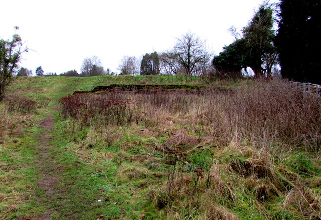
Today, Caerwent is a well-preserved archaeological site that gives visitors a glimpse into the past. The town's layout, with its grid pattern of streets and intact defensive walls, is evidence of its Roman origins. The walls, which are still intact in some areas, were constructed using local stone and stretch for approximately 2.5 kilometers.
One of the main attractions in Caerwent is the Roman Legionary Museum, which showcases a variety of artifacts discovered during excavations. These artifacts include pottery, jewelry, and tools, providing insight into the daily lives of the Roman inhabitants. The museum also houses a collection of Roman tombstones, offering a glimpse into the funerary customs of the time.
Visitors to Caerwent can explore the remains of various Roman buildings, including a basilica, forum, and a bathhouse. The basilica was the town's administrative center, while the forum served as a marketplace. The bathhouse, with its well-preserved hypocaust system, offers a fascinating insight into Roman bathing practices.
Caerwent is a popular destination for history enthusiasts and those interested in Roman history. Its well-preserved ruins and informative museum provide a unique opportunity to step back in time and learn about the Roman occupation of Britain.
If you have any feedback on the listing, please let us know in the comments section below.
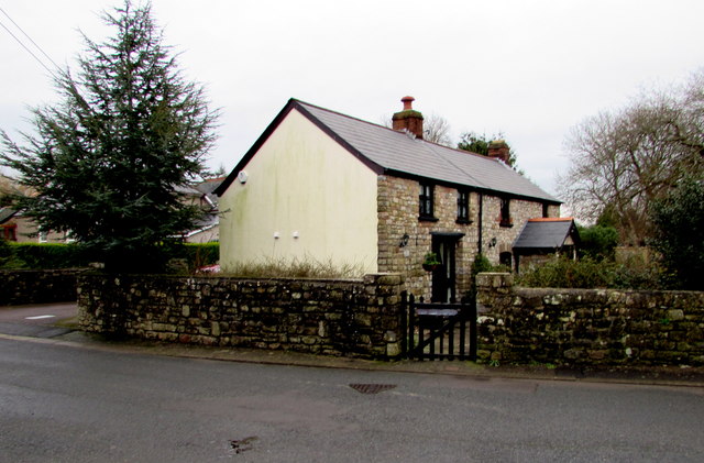
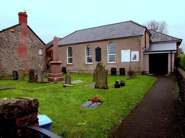
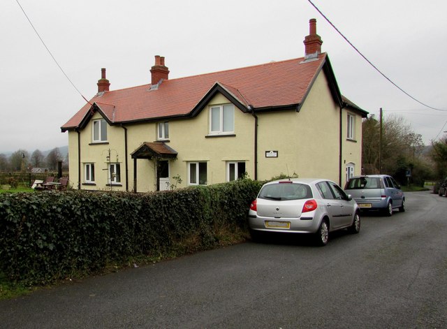
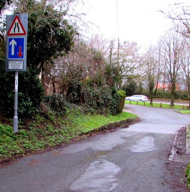
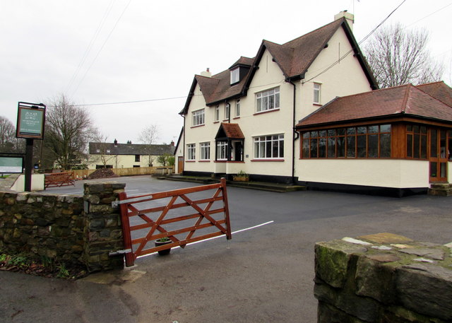
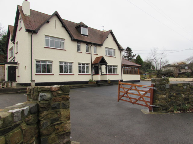
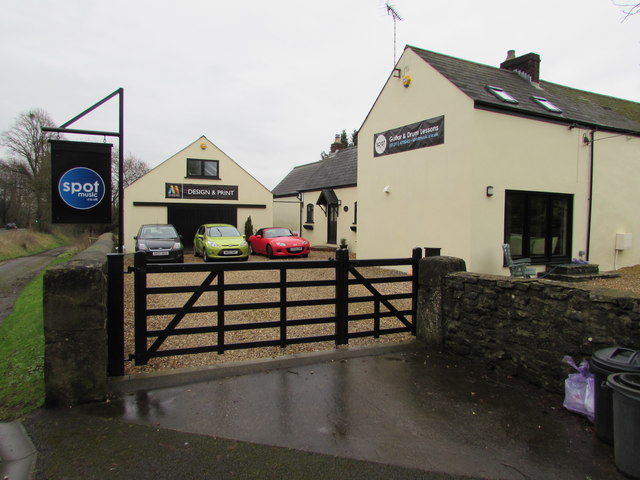
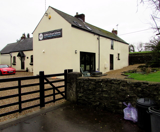
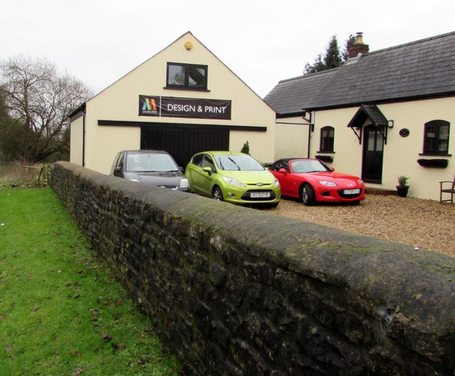
Caerwent Images
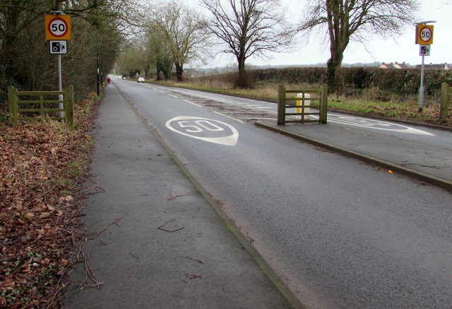
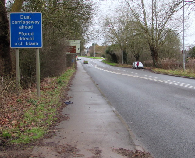
Images are sourced within 2km of 51.6126/-2.7683 or Grid Reference ST4690. Thanks to Geograph Open Source API. All images are credited.
Caerwent is located at Grid Ref: ST4690 (Lat: 51.6126, Lng: -2.7683)
Unitary Authority: Monmouthshire
Police Authority: Gwent
What 3 Words
///shift.detriment.poses. Near Caerwent, Monmouthshire
Related Wikis

Venta Silurum
Venta Silurum was a town in Roman Britain (Britannia). Today it consists of remains in the village of Caerwent in Monmouthshire, south east Wales. Much...
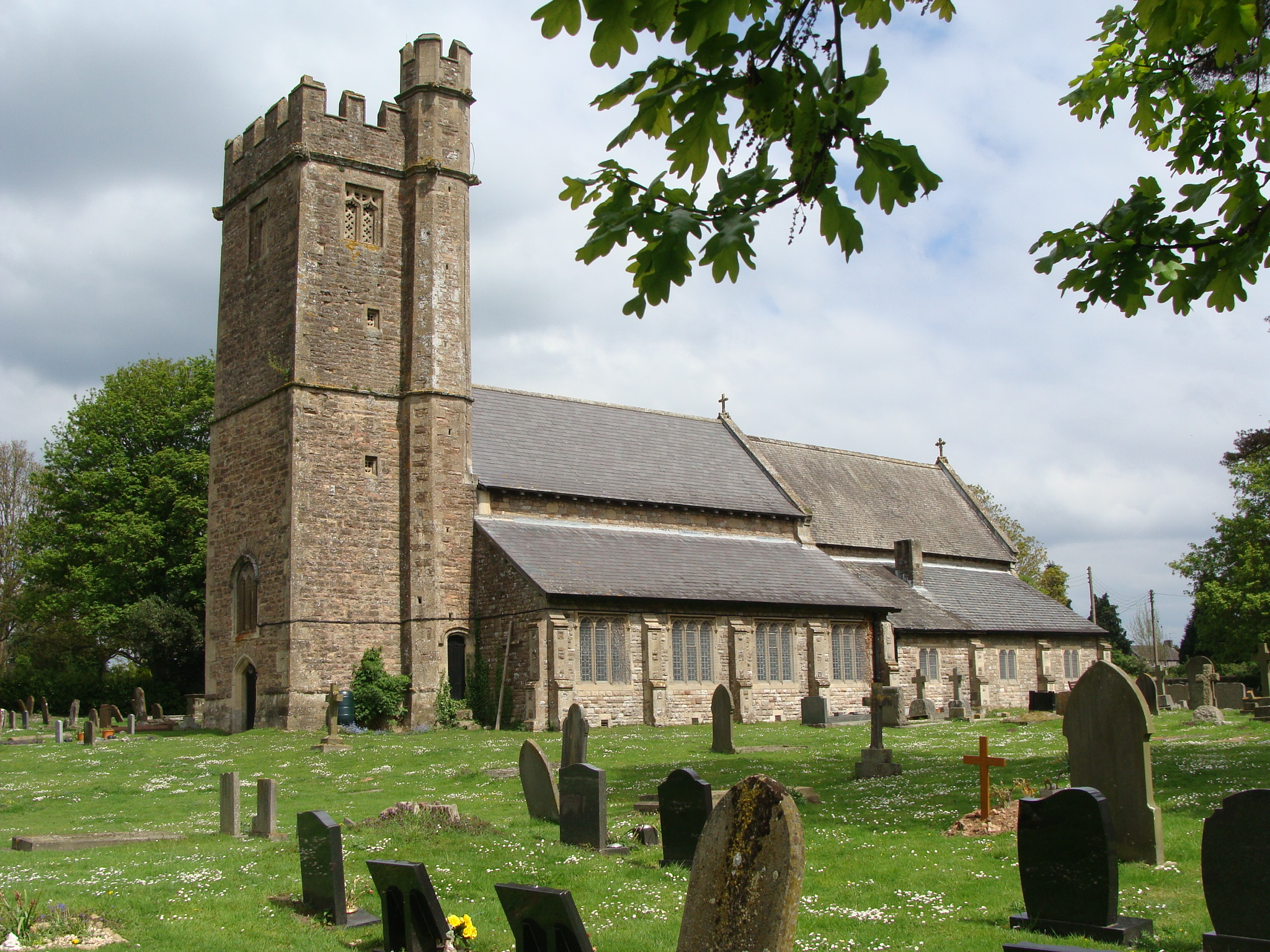
Church of St Stephen and St Tathan, Caerwent
The Church of St Stephen and St Tathan, Caerwent, Monmouthshire, is a parish church with datable origins to the 13th century. It is believed to be one...

Caerwent
Caerwent (Welsh: Caer-went) is a village and community in Monmouthshire, Wales. It is located about five miles west of Chepstow and 11 miles east of Newport...

Caerwent Training Area
Caerwent Training Area is a British military installation at Caerwent, Monmouthshire, Wales. The large military site is situated north of the A48 road...
Nearby Amenities
Located within 500m of 51.6126,-2.7683Have you been to Caerwent?
Leave your review of Caerwent below (or comments, questions and feedback).