Coed Mary-David
Wood, Forest in Monmouthshire
Wales
Coed Mary-David

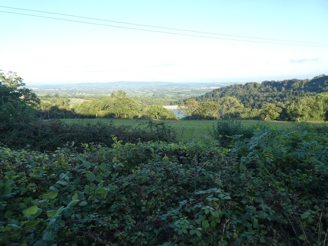
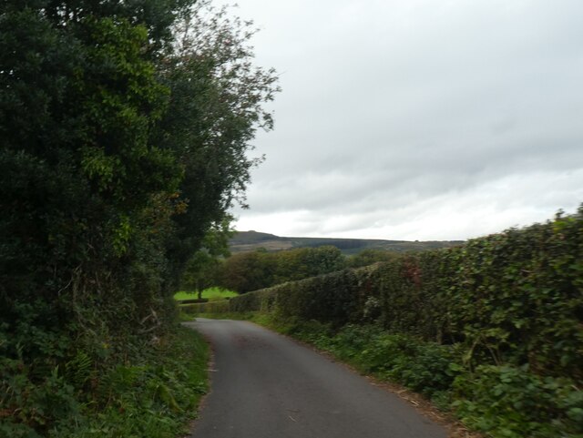
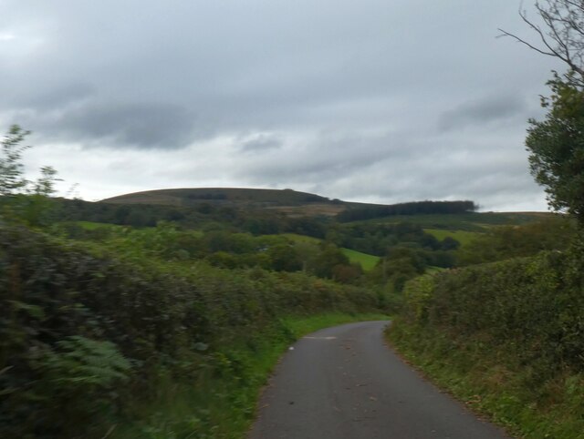
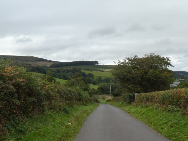
Coed Mary-David is a woodland area located in Monmouthshire, Wales. It is a peaceful and picturesque forest that covers an approximate area of 200 acres. The woodland is situated near the village of Cwmcarvan and is renowned for its natural beauty and diverse ecosystem.
The forest consists of a mix of deciduous and coniferous trees, including oak, beech, and pine. These trees provide a lush canopy that offers shade and shelter to a variety of wildlife species. The forest floor is covered in an array of wildflowers and ferns, creating a vibrant and colorful landscape.
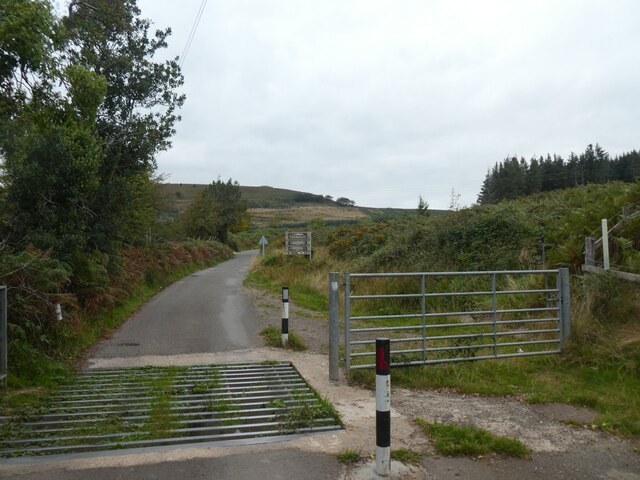
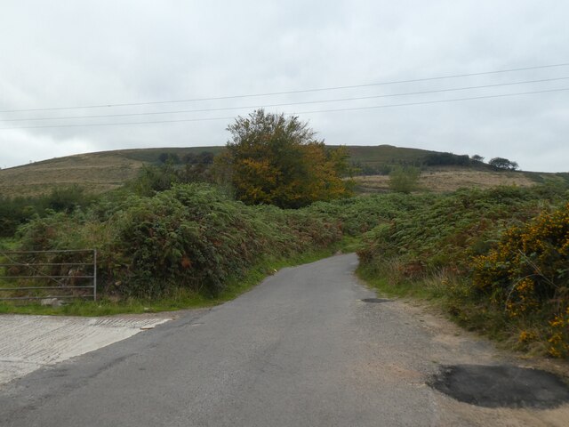
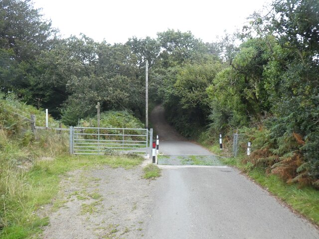
Coed Mary-David is a popular destination for nature enthusiasts, hikers, and birdwatchers. The forest boasts several well-maintained trails that wind through the trees, allowing visitors to explore the area's natural wonders. Along these trails, it is common to spot a wide range of bird species, including woodpeckers, owls, and various songbirds.
The woodland also features a small stream that runs through its heart, adding to its charm and providing a source of water for the local wildlife. The tranquil ambiance and the soothing sound of the stream make Coed Mary-David an ideal spot for relaxation and meditation.
Overall, Coed Mary-David is a delightful and enchanting forest that offers visitors a chance to immerse themselves in nature. Its diverse flora and fauna, coupled with its serene atmosphere, make it a must-visit destination for anyone seeking a peaceful retreat in the heart of Monmouthshire.
If you have any feedback on the listing, please let us know in the comments section below.
Coed Mary-David Images
Images are sourced within 2km of 51.630011/-3.0721726 or Grid Reference ST2592. Thanks to Geograph Open Source API. All images are credited.


Coed Mary-David is located at Grid Ref: ST2592 (Lat: 51.630011, Lng: -3.0721726)
Unitary Authority: Torfaen
Police Authority: Gwent
What 3 Words
///rate.stable.blur. Near Risca, Caerphilly
Nearby Locations
Related Wikis

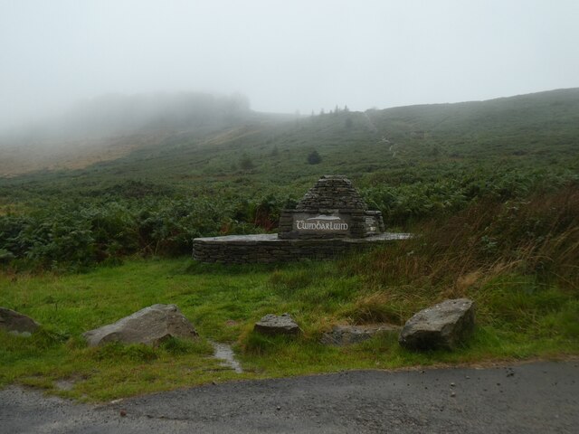
Twmbarlwm
Twmbarlwm, also known as Twm Barlwm, Twyn Barlwm or locally known as "the Twmp" (translation: hump), the Nipple or the Pimple because of the mound that...

Coed Eva
Coed Eva (Welsh: Coed Efa) is a suburb of Cwmbran in Torfaen County Borough, Wales. It lies in the preserved county of Gwent and within the historic boundaries...
Henllys, Torfaen
Henllys means 'ancient court' with hen 'ancient' and llys 'court'. The name may refer to the former administrative court of the lordship of Machen Today...

Fairwater, Torfaen
Fairwater is a community and suburb of Cwmbran in the county borough of Torfaen, in south east Wales, and was built by the Cwmbran Development Corporation...
Cwmbran High School
Cwmbran High School (Welsh: Ysgol Uwchradd Cwmbran), previously known as Fairwater High School, is a state-funded and non-selective comprehensive school...

Risca Community Comprehensive School
Risca Community Comprehensive School is a community comprehensive school located in the town of Risca near Newport on the eastern side of the Caerphilly...
Risca
Risca (Welsh: Rhisga) is a town in the Caerphilly County Borough and the historic boundaries of Monmouthshire in south-east Wales. Risca has a railway...
Saint Mary & Saint Philopateer Abu Saifain Coptic Orthodox Church
St Mary and St Mercurius Coptic Orthodox Church is the first Coptic Orthodox Church in Wales, at St Mary Street in Risca, Newport, Wales. It was consecrated...
Nearby Amenities
Located within 500m of 51.630011,-3.0721726Have you been to Coed Mary-David?
Leave your review of Coed Mary-David below (or comments, questions and feedback).