Butcher's Wood

Wood, Forest in Montgomeryshire

Wales

Butcher's Wood

Ordnance Survey Flush Bracket (G2283) This OS Flush Bracket can be found on the Blue Bell Inn. It marks a point 139.574m above mean sea level.
Ordnance Survey Flush Bracket (G2283) Credit: Adrian Dust

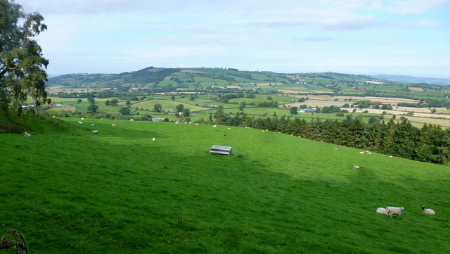
Butcher's Wood is a picturesque forest located in Montgomeryshire, Wales. Covering an area of approximately 50 acres, the wood is known for its diverse range of flora and fauna, including oak, birch, and beech trees, as well as a variety of wildlife such as deer, squirrels, and birds.

The wood is a popular destination for nature lovers and outdoor enthusiasts, offering a network of winding trails and paths for walking, hiking, and birdwatching. Visitors can enjoy the peaceful atmosphere of the wood, surrounded by the sounds of rustling leaves and birdsong.

Butcher's Wood is also a site of historical significance, with evidence of ancient settlements and archaeological remains dating back to the Iron Age. The wood has been well-preserved over the years, maintaining its natural beauty and providing a glimpse into the area's rich history.

Overall, Butcher's Wood is a charming and tranquil destination for those looking to escape the hustle and bustle of city life and immerse themselves in the beauty of nature. Whether exploring the trails, observing the wildlife, or simply enjoying a picnic among the trees, visitors are sure to find peace and serenity in this enchanting forest.

If you have any feedback on the listing, please let us know in the comments section below.

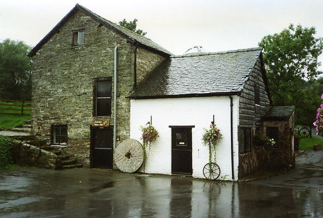
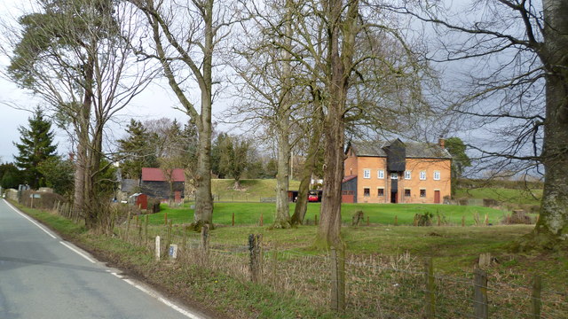
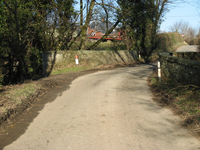
Butcher's Wood Images

Images are sourced within 2km of 52.516149/-3.0998528 or Grid Reference SO2591. Thanks to Geograph Open Source API. All images are credited.

Ordnance Survey Flush Bracket (G2283) This OS Flush Bracket can be found on the Blue Bell Inn. It marks a point 139.574m above mean sea level.
Ordnance Survey Flush Bracket (G2283)
This OS Flush Bracket can be found on the Blue Bell Inn. It marks a point 139.574m above mean sea level.
Pond beside ODP A little man made pond I suspect.
Pond beside ODP
A little man made pond I suspect.
Gate on ODP where the Kerry Ridgeway crosses too The lane carries the Kerry Ridgeway I believe.
Gate on ODP where the Kerry Ridgeway crosses too
The lane carries the Kerry Ridgeway I believe.
On Offa's Dyke Path below Crowsnest Cottage Great ODP view towards lovely Corndon Hill.
On Offa's Dyke Path below Crowsnest Cottage
Great ODP view towards lovely Corndon Hill.
Upper Castlewright farm from Offa's Dyke Path Nice upland farm here.
Upper Castlewright farm from Offa's Dyke Path
Nice upland farm here.
Mill, Brompton Bridge
Vintage roadside pumps outside the Blue Bell Hotel Conjuring up the early days of motoring.
Vintage roadside pumps outside the Blue Bell Hotel
Conjuring up the early days of motoring.
Red, white and blue and rust... The old pumps sport a topical livery but also show the signs of their age.
Red, white and blue and rust...
The old pumps sport a topical livery but also show the signs of their age.
Road junction near Court House
Courthouse Farm on B4385
House at entrance to Mellington Hall
Entrance to Mellington Hall Hotel
Road junction east of Bacheldre
Bacheldre Dairy complex
View over the Caebitra valley Lake Farm is in the centre; see <a href="https://www.geograph.org.uk/photo/807368">SO2491 : Lake Farm</a> for the same scene taken in spring 2008.
The Walton Hill massif with its hill fort can be seen in the blue distance to the north.
View over the Caebitra valley
Lake Farm is in the centre; see SO2491 : Lake Farm for the same scene taken in spring 2008. The Walton Hill massif with its hill fort can be seen in the blue distance to the north.
Dead and alive Oaks in semi-parkland near Pentrenant Hall.
Dead and alive
Oaks in semi-parkland near Pentrenant Hall.
Caebitra valley, 1 Viewed from above the woodland at Pentrenant Hall with Caeliber Isaf in the distance.
Caebitra valley, 1
Viewed from above the woodland at Pentrenant Hall with Caeliber Isaf in the distance.
Caebitra valley, 2 Viewed from pasture and woodland above Pentenant Hall.
Caebitra valley, 2
Viewed from pasture and woodland above Pentenant Hall.
Show me another place!

Butcher's Wood is located at Grid Ref: SO2591 (Lat: 52.516149, Lng: -3.0998528)

Unitary Authority: Powys

Police Authority: Dyfed Powys

What 3 Words

///pianists.publisher.brightens. Near Mainstone, Shropshire

Related Wikis

Bacheldre

Bacheldre (Welsh: Bachelldref or Bachelldre) is a small settlement in Powys, Wales. It is near the A489 road and is 5 kilometres (3 mi) southeast of the...

Brompton, Shropshire

Brompton (Welsh: Brontyn) is a hamlet in Shropshire, England. It lies on the A489 between Church Stoke and Newtown (both in Powys) at its junction with...

Pentreheyling

Pentreheyling is a hamlet in Shropshire, England. It lies just west of Brompton on the A489 between Church Stoke and Newtown. The hamlet is notable for...

The Lack, Brompton

The Lack is a Grade II* listed building, formerly in the historic parish of Churchstoke but now in the parish of Chirbury with Brompton in Shropshire....

Nearby Amenities

Located within 500m of 52.516149,-3.0998528
Direction: 183
Generator Method: photovoltaic
Generator Output Electricity: yes
Generator Solar Modules: 17
Generator Source: solar
Generator Type: solar_photovoltaic_panel
Location: roof
Power: generator
Lat/Long: 52.5144907/-3.0938651
Give Way
Direction: backward
Lat/Long: 52.5145173/-3.0943042
The data included in this document is from www.openstreetmap.org. The data is made available under ODbL.

Have you been to Butcher's Wood?

Leave your review of Butcher's Wood below (or comments, questions and feedback).