Allt Wood
Wood, Forest in Montgomeryshire
Wales
Allt Wood
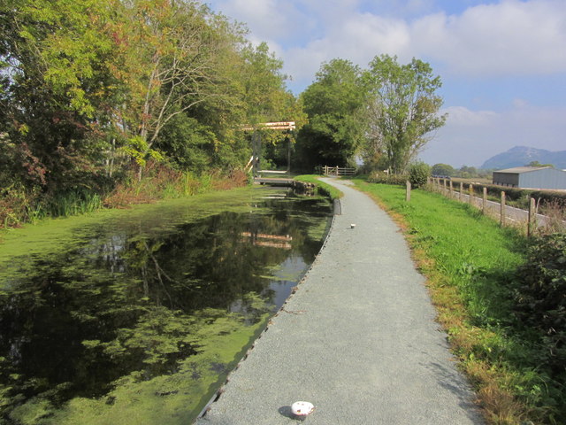
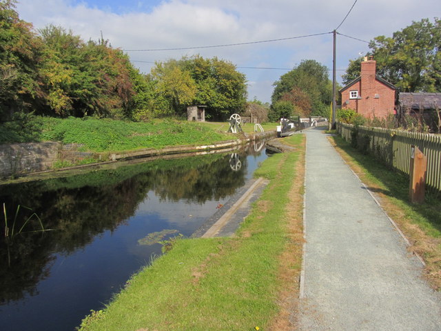
Allt Wood, located in Montgomeryshire, is a picturesque forest renowned for its natural beauty and diverse wildlife. Covering an area of approximately 100 hectares, it is a popular destination for nature enthusiasts and hikers alike.
The wood is predominantly composed of broadleaf trees, including oak, beech, and ash, which provide a vibrant and varied canopy. These trees create a peaceful and tranquil atmosphere, making it an ideal place for relaxation and contemplation. The forest floor is covered in a thick carpet of moss, ferns, and wildflowers, adding to the enchanting ambiance of the wood.
Allt Wood is home to a wide range of wildlife, including several species of birds such as the great spotted woodpecker, nuthatch, and tawny owl. Mammals such as badgers, foxes, and deer can also be spotted within the forest, making it a haven for wildlife enthusiasts and photographers.
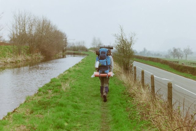
The wood offers a network of well-maintained walking trails, allowing visitors to explore its beauty at their own pace. These paths meander through the woodland, leading to scenic viewpoints, babbling brooks, and hidden glades. There are also designated picnic areas, providing the perfect opportunity to enjoy a leisurely lunch surrounded by nature's tranquility.
Allt Wood is easily accessible, with a car park located at its entrance. It is open to the public year-round, although visitors are encouraged to respect the natural surroundings and follow any guidelines or restrictions in place to preserve the ecosystem.
Overall, Allt Wood is a captivating forest that offers a unique opportunity to connect with nature and experience the beauty of Montgomeryshire's woodland landscape.
If you have any feedback on the listing, please let us know in the comments section below.
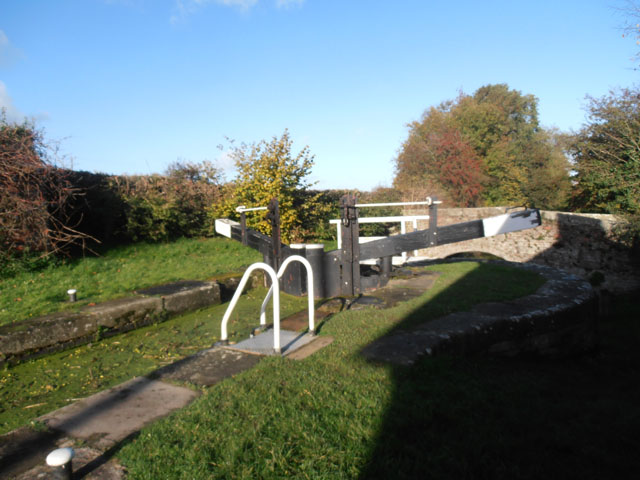
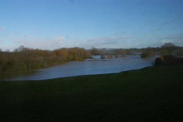
Allt Wood Images
Images are sourced within 2km of 52.683017/-3.1198848 or Grid Reference SJ2410. Thanks to Geograph Open Source API. All images are credited.
Allt Wood is located at Grid Ref: SJ2410 (Lat: 52.683017, Lng: -3.1198848)
Unitary Authority: Powys
Police Authority: Dyfed Powys
What 3 Words
///cobble.regaining.piston. Near Guilsfield, Powys
Nearby Locations
Related Wikis
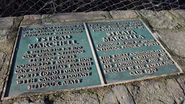
Strata Marcella
The Abbey of Strata Marcella (Welsh: Abaty Ystrad Marchell) was a medieval Cistercian monastery situated at Ystrad Marchell (Strata Marcella being the...

Buttington Oak
The Buttington Oak was a tree near to Offa's Dyke at Buttington, Wales, said to have been planted to mark the site of the Battle of Buttington between...
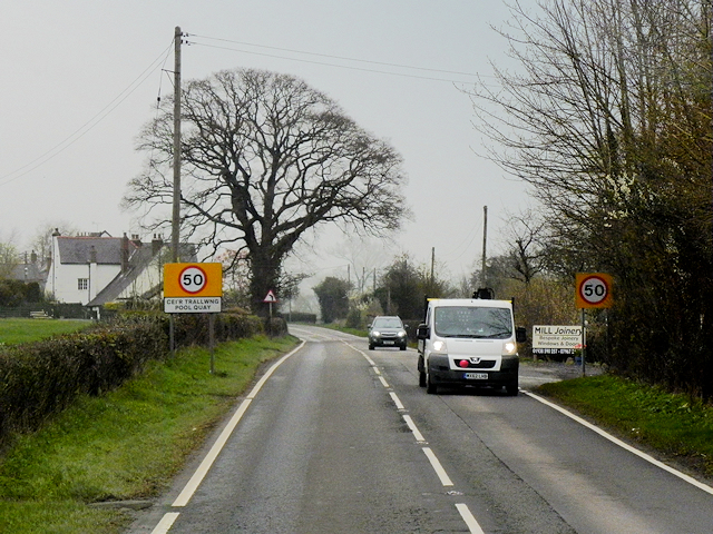
Pool Quay
Pool Quay (Welsh: Cei'r Trallwng) is a small village in Powys, Mid Wales. == Location == It is situated on the A483 road, between the towns of Welshpool...
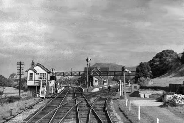
Buttington railway station
Buttington railway station was a station in Buttington, Powys, Wales. The station was opened in November 1860, several months after the line that served...
Gungrog
Gungrog is a geographical area which is part of Welshpool (English) Y Trallwng (Welsh), Powys in Wales. It is a stretch of elevated ground which includes...

Guilsfield
Guilsfield (Welsh: Cegidfa, lit. "Hemlock-field") is a village and local government community in Montgomeryshire, Powys, Wales. It lies beside Guilsfield...
Welshpool High School
Welshpool High School is located in Welshpool, Powys. It is a combined secondary school and sixth form, catering for pupils aged 11 to 19. In 2022, a new...
Battle of Buttington
The Battle of Buttington was fought in 893 between a Viking army and an alliance of Anglo-Saxons and Welsh. The annals for 893 reported that a large Viking...
Related Videos

Part 9. Buttington to llanymynech. Offas Dyke trail.?
Buttington to llanymynech following the Offas Dyke path. I walked 177 miles north to Prestatyn. It took me 17 days to complete due ...

117 - The Only Narrowboat In 85 Years On The Isolated Restored Montgomery Canal, Welshpool - Berriew
Today we continue our walk up the Montgomery canal starting at Buttington wharf near Welshpool. With the plan to walk 5 miles to ...
Nearby Amenities
Located within 500m of 52.683017,-3.1198848Have you been to Allt Wood?
Leave your review of Allt Wood below (or comments, questions and feedback).