Cornist Wood
Wood, Forest in Flintshire
Wales
Cornist Wood
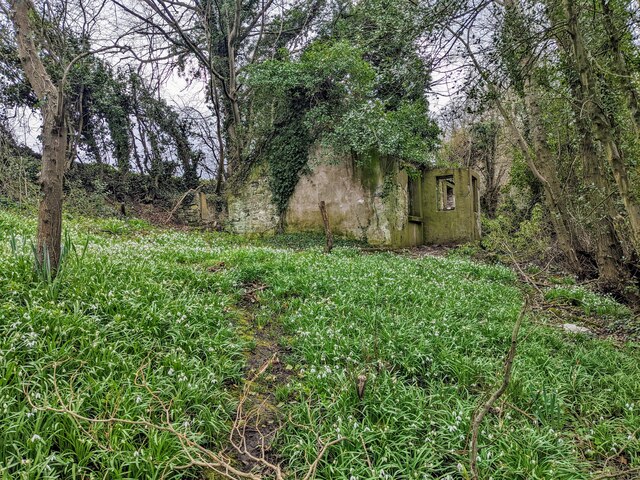
Cornist Wood is a picturesque woodland located in Flintshire, Wales. Covering an area of approximately 55 hectares, it is a popular spot for nature enthusiasts and outdoor lovers. The wood is situated on the outskirts of Flint, a historic town in northeast Wales.
The woodland is primarily composed of deciduous trees, including oak, beech, and birch, creating a diverse and vibrant ecosystem. Its dense vegetation provides a natural habitat for a variety of wildlife, such as foxes, squirrels, and an array of bird species. The wood is also home to a number of rare plants and flowers, adding to its ecological significance.
Cornist Wood features a network of well-maintained footpaths, allowing visitors to explore its beauty and enjoy tranquil walks. The paths wind through the trees, providing glimpses of sunlight filtering through the leaves and creating a serene atmosphere. There are also designated picnic areas, where visitors can relax and appreciate the peaceful surroundings.
In addition to its natural beauty, Cornist Wood has historical significance. It was once part of the estate of the nearby Cornist Hall, a grand mansion that has now been demolished. The wood acts as a reminder of the area's past and provides a connection to its heritage.
Overall, Cornist Wood is a charming and idyllic woodland that offers a peaceful retreat from the bustling world. Its natural beauty, diverse wildlife, and historical significance make it a cherished destination for both locals and tourists alike.
If you have any feedback on the listing, please let us know in the comments section below.
Cornist Wood Images
Images are sourced within 2km of 53.242275/-3.1566281 or Grid Reference SJ2272. Thanks to Geograph Open Source API. All images are credited.


Cornist Wood is located at Grid Ref: SJ2272 (Lat: 53.242275, Lng: -3.1566281)
Unitary Authority: Flintshire
Police Authority: North Wales
What 3 Words
///welcome.preheated.remix. Near Flint, Flintshire
Nearby Locations
Related Wikis

Cornist Hall
Cornist Hall is a large house 1 mile (1.6 km) west-southwest of the town of Flint, Flintshire, Wales. It was the birthplace in 1746 of Thomas Totty, an...

Flintshire (historic)
Flintshire (Welsh: Sir y Fflint), also known as the County of Flint, is one of Wales' thirteen historic counties, and a former administrative county (and...

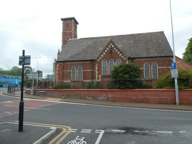
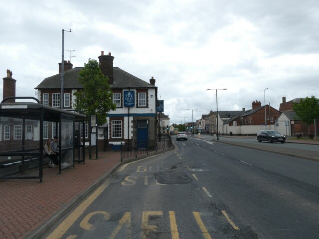
Flint, Flintshire
Flint (Welsh: Y Fflint) is a town and community in Flintshire, Wales, lying on the estuary of the River Dee. It is the former county town of Flintshire...

Flint Town Hall
Flint Town Hall (Welsh: Neuadd y Dref Y Fflint) is a municipal structure in the Market Square, Flint, Flintshire, Wales. The town hall, which is the meeting...

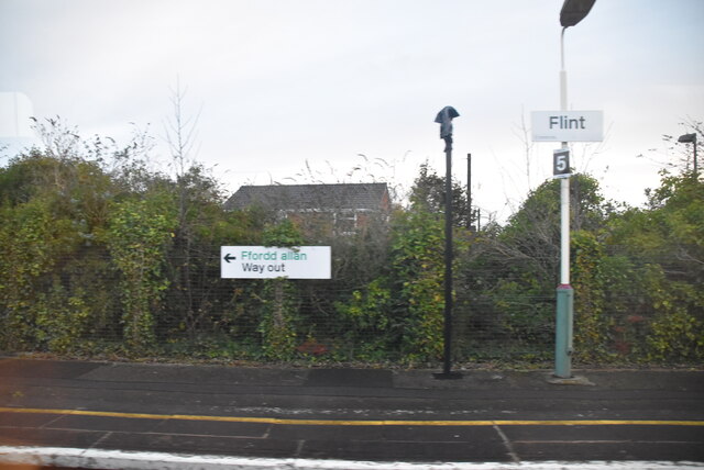
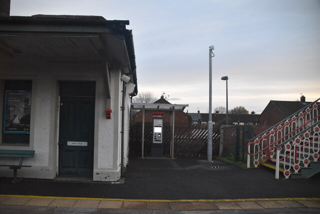
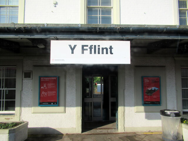
Flint railway station
Flint railway station (Welsh: Y Fflint) serves the town of Flint in Flintshire, North Wales. It is located on the North Wales Coast Line and is managed...

St Richard Gwyn Catholic High School, Flint
St Richard Gwyn Catholic High School is a Catholic co-educational voluntary aided secondary school situated on Albert Avenue in Flint, Flintshire, United...
Halkyn
Halkyn (Welsh: Helygain [heˈləgain]; Flintshire Welsh: Lygian [ˈləgjan]) is a village and community in Flintshire, north-east Wales and situated between...
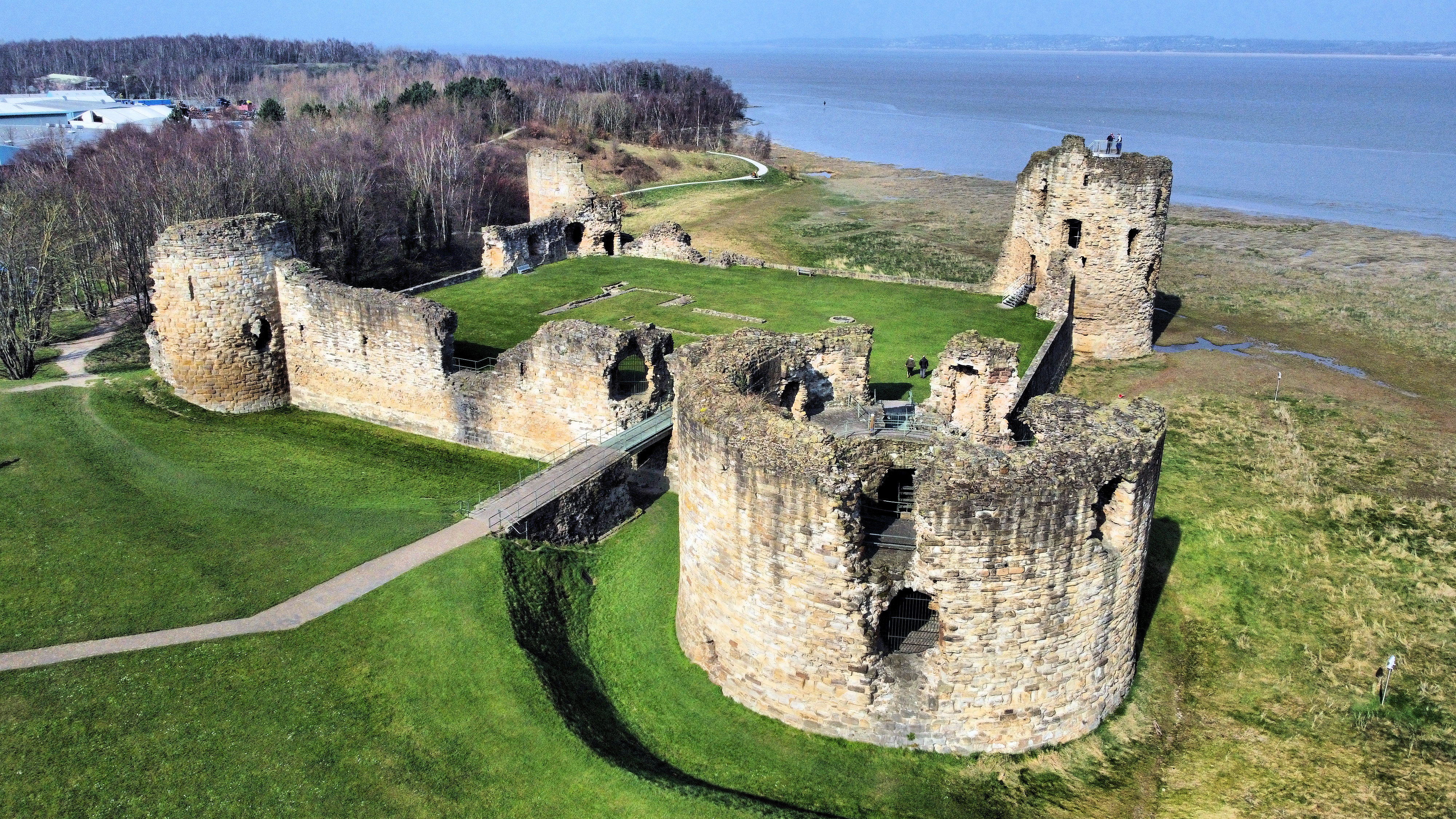
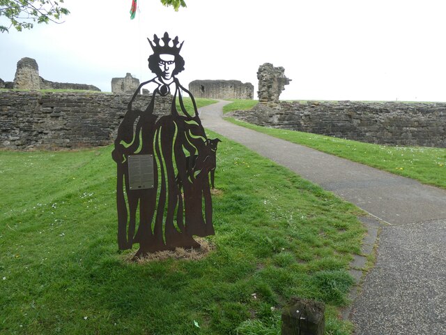
Flint Castle
Flint Castle (Welsh: Castell y Fflint) in Flint, Flintshire, was the first of a series of castles built during King Edward I's campaign to conquer Wales...
Nearby Amenities
Located within 500m of 53.242275,-3.1566281Have you been to Cornist Wood?
Leave your review of Cornist Wood below (or comments, questions and feedback).