Cornist Ganol
Settlement in Flintshire
Wales
Cornist Ganol
Cornist Ganol is a small village located in the county of Flintshire, Wales. Situated approximately 3 miles northeast of Flint, the village is nestled in the picturesque countryside of North Wales. With a population of around 1,000 residents, it offers a peaceful and close-knit community atmosphere.
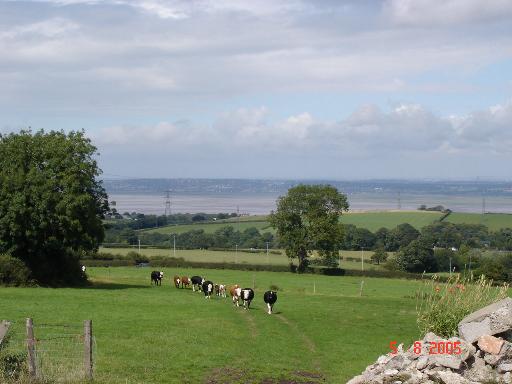
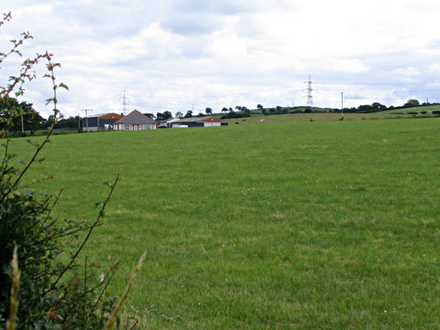
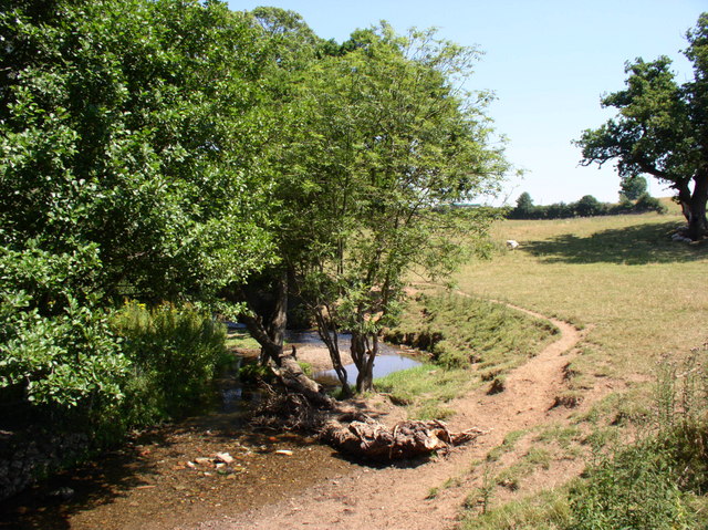
The village is renowned for its stunning natural beauty, surrounded by rolling hills, lush green fields, and charming country lanes. Walking and hiking enthusiasts can explore the nearby Clwydian Range, an Area of Outstanding Natural Beauty, which offers breathtaking panoramic views of the surrounding landscape.
Cornist Ganol has a rich history, with evidence of human habitation dating back to the Bronze Age. The village is home to several historical landmarks, including the Grade II listed Cornist Hall, a grand Victorian mansion that now serves as a community center. Additionally, the nearby Flint Castle, a medieval fortress built by Edward I, is a popular tourist attraction.
In terms of amenities, Cornist Ganol offers a range of local facilities, including a primary school, a village hall, and a church. The village is well-connected to neighboring towns and cities, with excellent transport links, including a nearby railway station and access to major road networks.
Overall, Cornist Ganol is a charming village that combines natural beauty, a rich history, and a close community spirit, making it an idyllic place to live or visit in Flintshire, Wales.
If you have any feedback on the listing, please let us know in the comments section below.
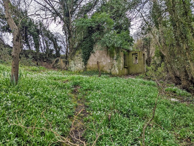
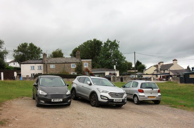
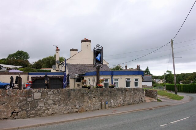
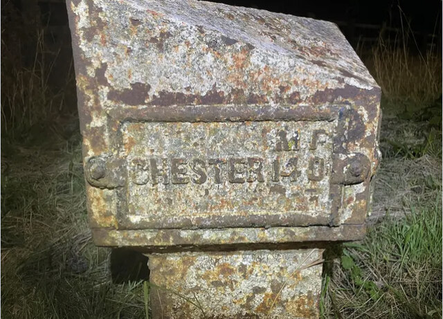
Cornist Ganol Images
Images are sourced within 2km of 53.239275/-3.1701829 or Grid Reference SJ2272. Thanks to Geograph Open Source API. All images are credited.


Cornist Ganol is located at Grid Ref: SJ2272 (Lat: 53.239275, Lng: -3.1701829)
Unitary Authority: Flintshire
Police Authority: North Wales
What 3 Words
///contoured.blanket.forced. Near Halkyn, Flintshire
Nearby Locations
Related Wikis

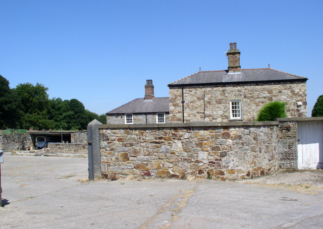
Cornist Hall
Cornist Hall is a large house 1 mile (1.6 km) west-southwest of the town of Flint, Flintshire, Wales. It was the birthplace in 1746 of Thomas Totty, an...
Halkyn
Halkyn (Welsh: Helygain [heˈləgain]; Flintshire Welsh: Lygian [ˈləgjan]) is a village and community in Flintshire, north-east Wales and situated between...

Flintshire (historic)
Until 1974, Flintshire (Welsh: Sir y Fflint), also known as the County of Flint, was an administrative county in the north-east of Wales, later classed...

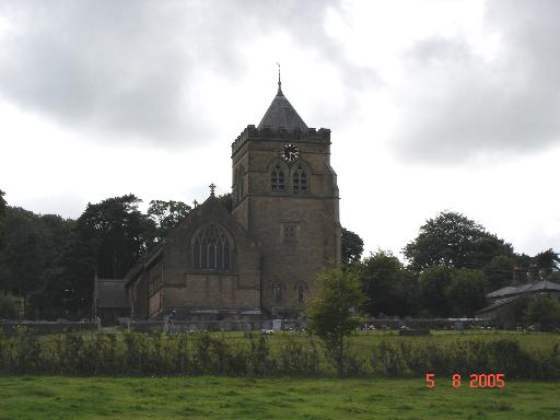
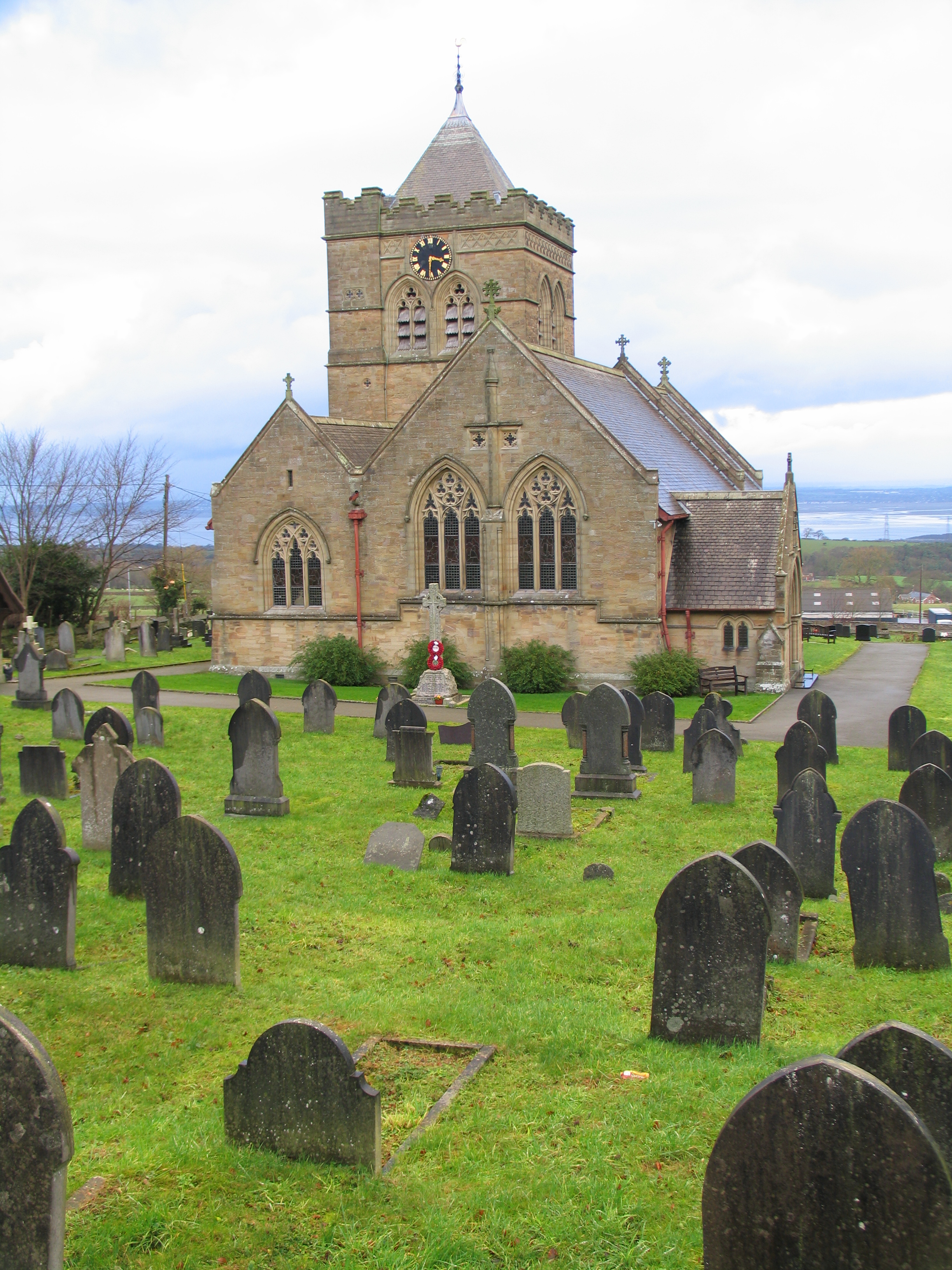
Church of St Mary the Virgin, Halkyn
The Church of St Mary the Virgin, Halkyn is to the north of the village of Halkyn, Flintshire, Wales. It is an active Anglican parish church in the diocese...
Nearby Amenities
Located within 500m of 53.239275,-3.1701829Have you been to Cornist Ganol?
Leave your review of Cornist Ganol below (or comments, questions and feedback).