Coed Cefn
Wood, Forest in Brecknockshire
Wales
Coed Cefn
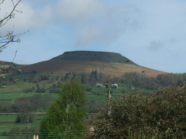
Coed Cefn is a picturesque woodland located in the county of Brecknockshire, Wales. It is situated in the heart of the Brecon Beacons National Park, offering visitors a captivating natural landscape to explore.
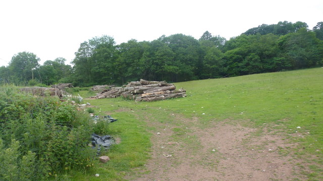
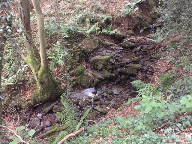
Covering an area of approximately 200 acres, Coed Cefn is known for its diverse range of tree species, including oak, beech, birch, and pine. The woodland is an important habitat for various wildlife, such as deer, badgers, and a wide variety of bird species, making it a popular destination for nature enthusiasts and birdwatchers.
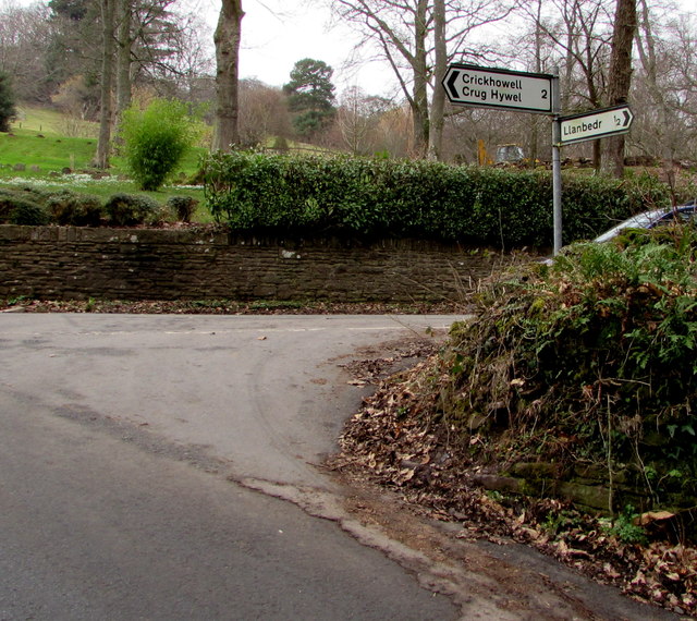
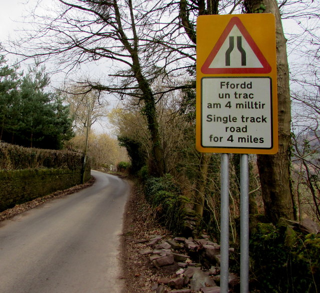
The woodland is crisscrossed by a network of well-maintained footpaths, allowing visitors to easily navigate through the area. These pathways provide opportunities for leisurely walks, hikes, and nature trails, enabling visitors to immerse themselves in the tranquility of the surroundings. Along the way, visitors can enjoy breathtaking views of the surrounding hills and valleys, as well as the occasional glimpse of local wildlife.
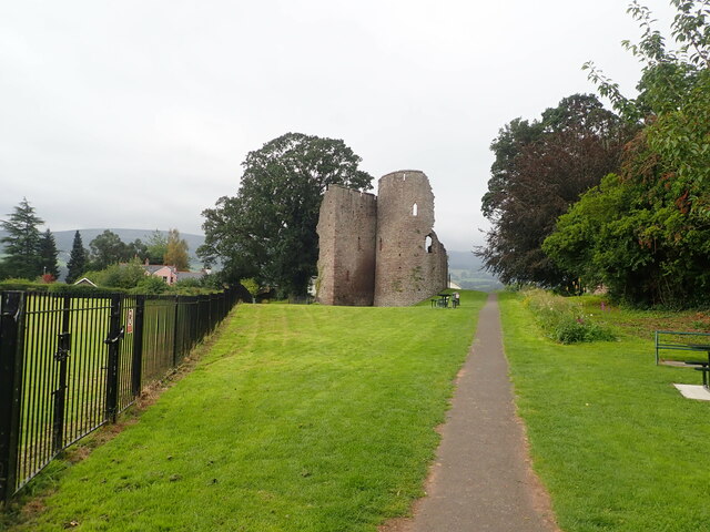
Coed Cefn is also rich in history, with remnants of ancient settlements and archaeological sites scattered throughout the woodland. These historical features add an air of mystery and intrigue to the area, attracting history buffs and those interested in the past.
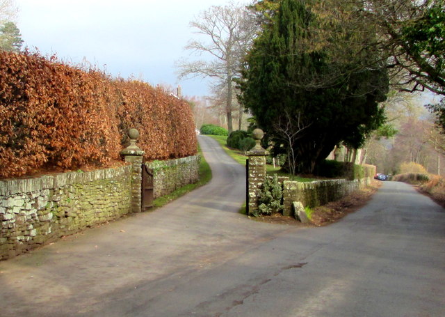
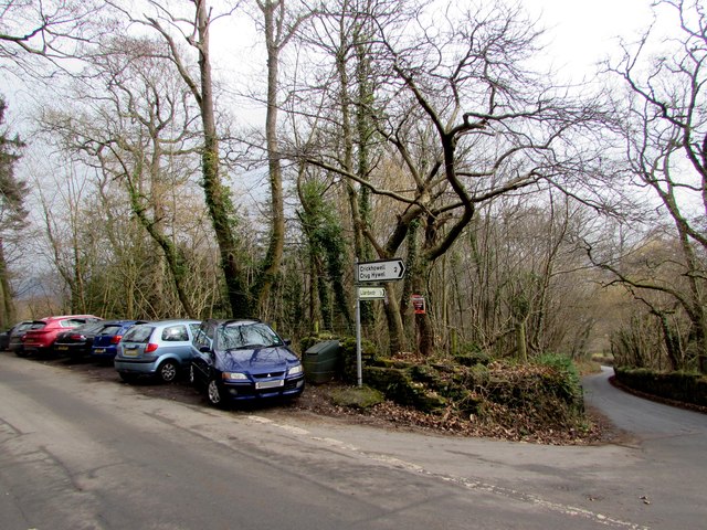
The woodland is easily accessible, with a car park located nearby, providing convenience for visitors. Whether one is looking for a peaceful retreat in nature, an opportunity to spot wildlife, or a chance to delve into the region's history, Coed Cefn offers an enchanting experience for all who visit.
If you have any feedback on the listing, please let us know in the comments section below.
Coed Cefn Images
Images are sourced within 2km of 51.860628/-3.123754 or Grid Reference SO2218. Thanks to Geograph Open Source API. All images are credited.


Coed Cefn is located at Grid Ref: SO2218 (Lat: 51.860628, Lng: -3.123754)
Unitary Authority: Powys
Police Authority: Dyfed Powys
What 3 Words
///surfed.ears.zoos. Near Crickhowell, Powys
Nearby Locations
Related Wikis
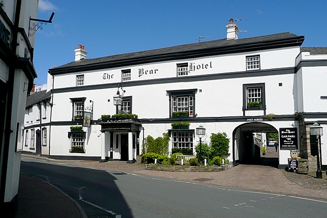
Bear Hotel, Crickhowell
The Bear Hotel, formerly the White Bear, stands on Beaufort Street, Crickhowell, Powys, Wales. A coaching inn from the mid 18th century, the building has...
Crickhowell
Crickhowell (; Welsh: Crucywel pronounced [krɨkːəu̯ɛl], non-standard spelling Crughywel) is a town and community in southeastern Powys, Wales, near Abergavenny...

Crickhowell Castle
Crickhowell Castle (Welsh: Castell Crucywel) is a Grade I listed building in Crickhowell, Wales, now largely ruined. An alternative name, "Alisby's Castle...
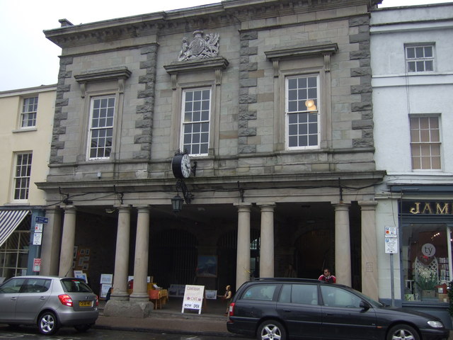
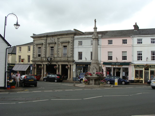
Crickhowell Market Hall
Crickhowell Market Hall (Welsh: Neuadd y Farchnad Crucywel), formerly Crickhowell Town Hall (Welsh: Neuadd y Dref Crucywel), is a municipal building in...
Nearby Amenities
Located within 500m of 51.860628,-3.123754Have you been to Coed Cefn?
Leave your review of Coed Cefn below (or comments, questions and feedback).