Coed Fferm
Wood, Forest in Flintshire
Wales
Coed Fferm
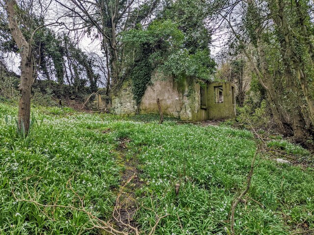
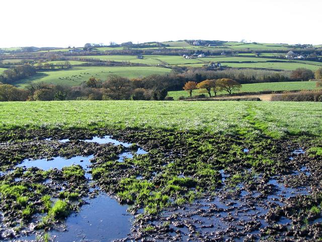
Coed Fferm is a wooded area located in Flintshire, Wales. The forest covers approximately 1,500 acres of land and is a popular destination for hikers, nature enthusiasts, and outdoor recreational activities. The landscape of Coed Fferm is characterized by dense woodlands, rolling hills, and meandering streams.
The forest is home to a variety of plant and animal species, including oak, beech, and birch trees, as well as deer, birds, and small mammals. Visitors to Coed Fferm can enjoy walking and biking trails that wind through the woods, offering stunning views of the surrounding countryside.
Coed Fferm also features picnic areas, campsites, and designated areas for wildlife viewing. The forest is managed by the local government and efforts are made to preserve its natural beauty and protect its biodiversity.
Overall, Coed Fferm offers a peaceful and tranquil escape from the hustle and bustle of everyday life, providing visitors with the opportunity to reconnect with nature and enjoy the beauty of the Welsh countryside.
If you have any feedback on the listing, please let us know in the comments section below.
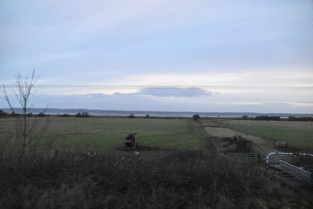
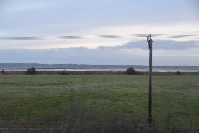
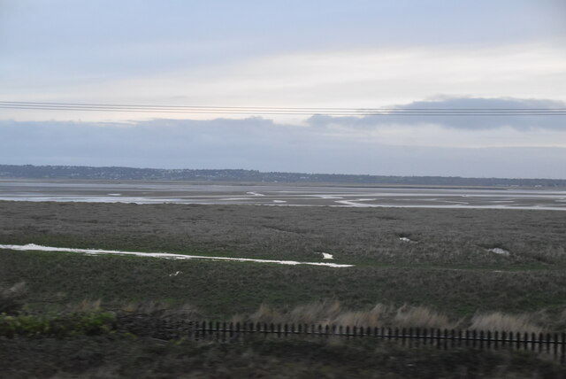
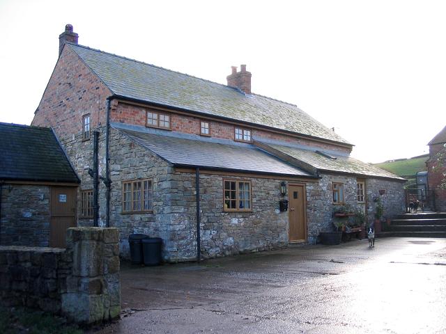
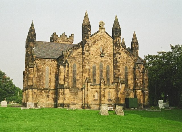
Coed Fferm Images
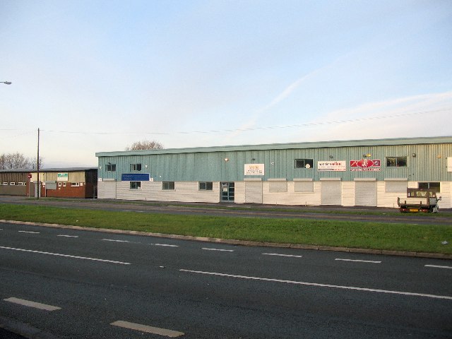
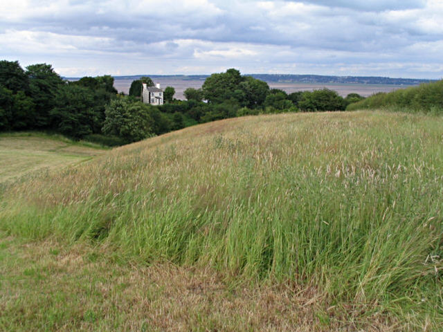
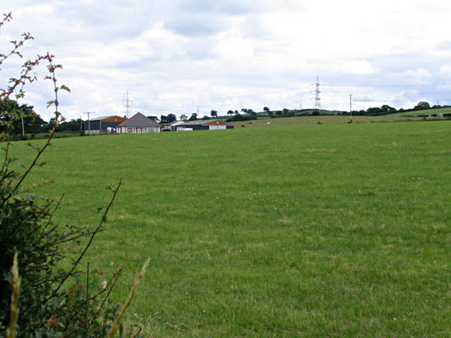
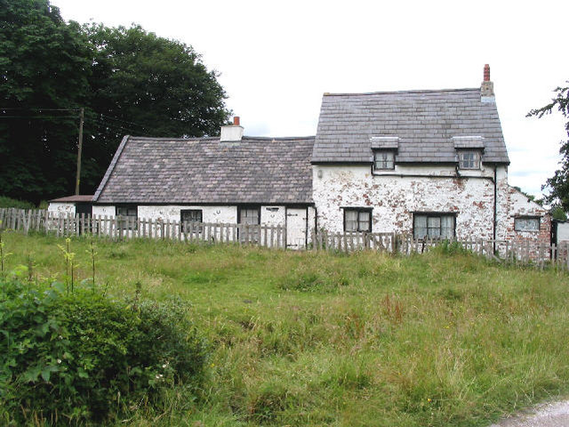
Images are sourced within 2km of 53.25918/-3.1708312 or Grid Reference SJ2174. Thanks to Geograph Open Source API. All images are credited.


Coed Fferm is located at Grid Ref: SJ2174 (Lat: 53.25918, Lng: -3.1708312)
Unitary Authority: Flintshire
Police Authority: North Wales
What 3 Words
///warm.carpeted.ownership. Near Bagillt, Flintshire
Nearby Locations
Related Wikis

District of Delyn
Delyn was a local government district with borough status from 1974 to 1996, being one of six districts in the county of Clwyd, north-east Wales. ��2...
Bagillt
Bagillt (; Welsh pronunciation: [ˈbaɡɪɬt]) is a market town and community in Flintshire, Wales. The town overlooks the Dee Estuary and is between the towns...

Flintshire (historic)
Until 1974, Flintshire (Welsh: Sir y Fflint), also known as the County of Flint, was an administrative county in the north-east of Wales, later classed...
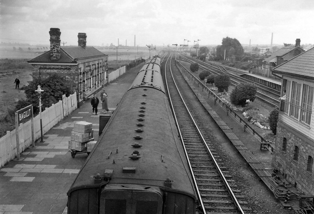
Bagillt railway station
Bagillt railway station was a railway station serving the village of Bagillt on the North Wales Coast Line in the Welsh county of Flintshire. Although...
Nearby Amenities
Located within 500m of 53.25918,-3.1708312Have you been to Coed Fferm?
Leave your review of Coed Fferm below (or comments, questions and feedback).