Gadlys
Settlement in Flintshire
Wales
Gadlys
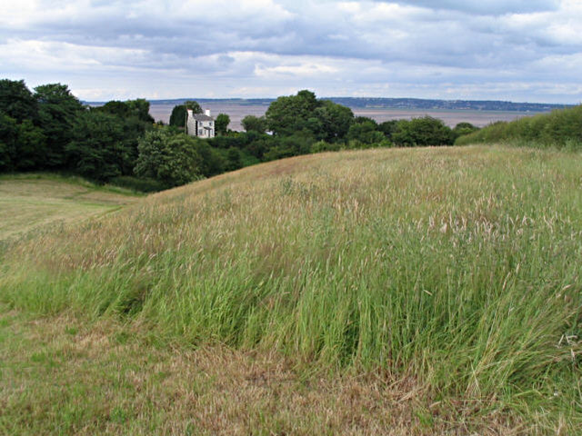
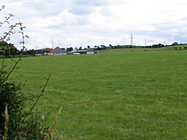
Gadlys is a small village located in the county of Flintshire, North Wales. It is situated near the town of Holywell and is surrounded by picturesque countryside, making it an ideal location for those seeking a peaceful and rural setting.
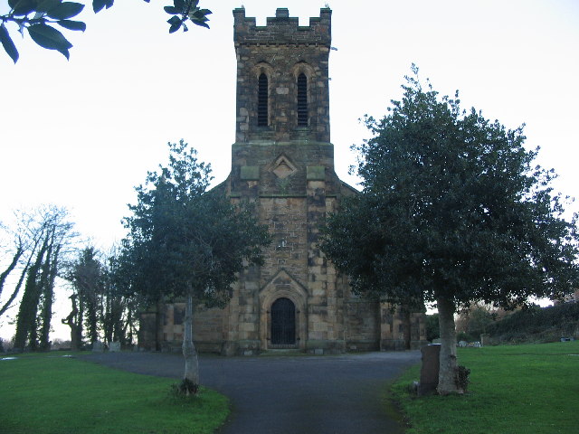
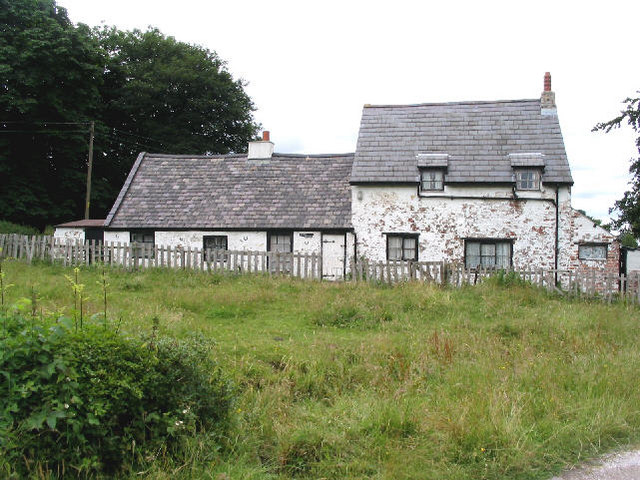
The village is known for its historic buildings, including the Grade II listed Gadlys House, which dates back to the 18th century and is a prominent feature in the village. The surrounding area offers plenty of outdoor activities, with hiking trails and cycling routes that showcase the natural beauty of the Welsh countryside.
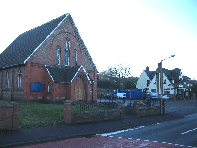
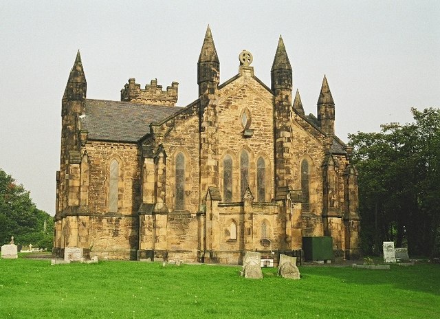
Gadlys has a close-knit community, with a local pub, church, and community center providing social hubs for residents to gather and socialize. The village also has a primary school, making it a popular choice for families looking to settle in a peaceful and safe environment.
Overall, Gadlys offers a charming and tranquil setting for those looking to escape the hustle and bustle of city life and enjoy the beauty of the Welsh countryside.
If you have any feedback on the listing, please let us know in the comments section below.
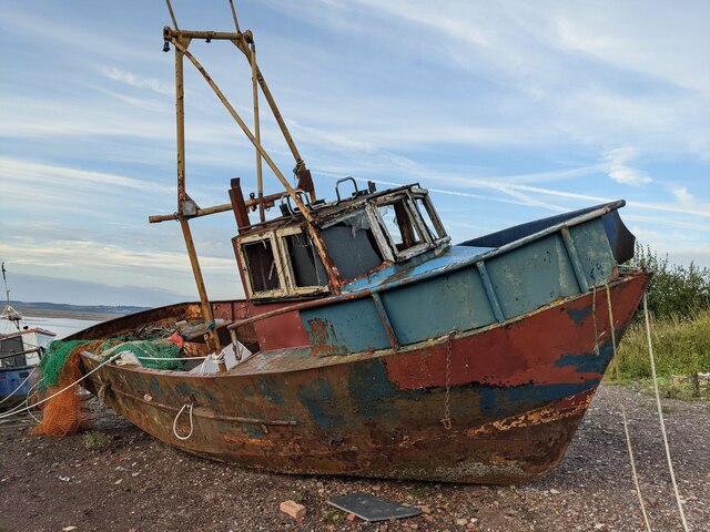
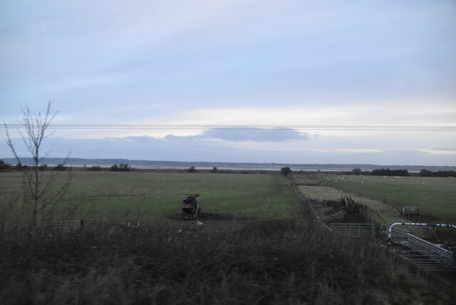
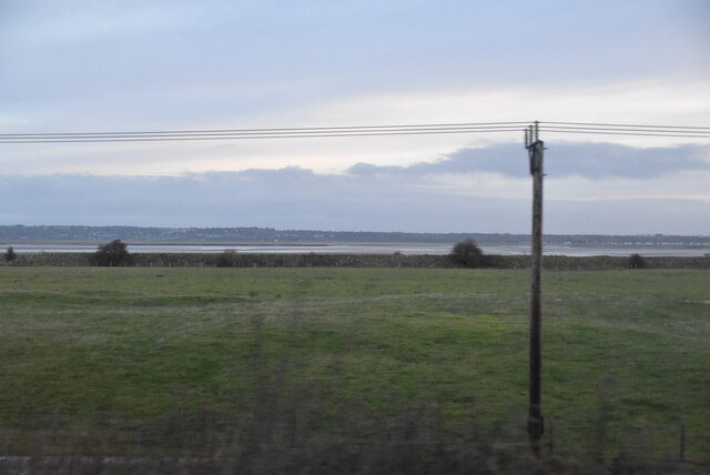
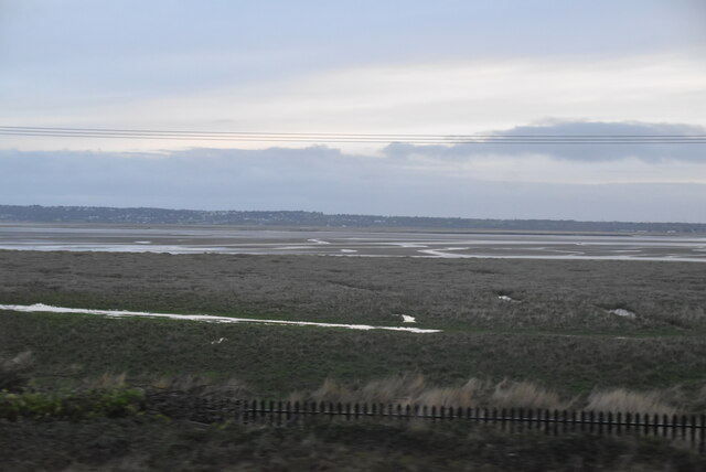
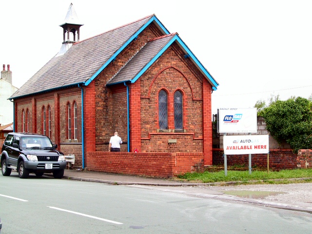
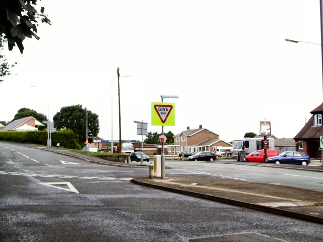
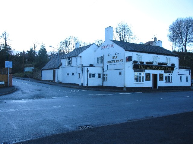
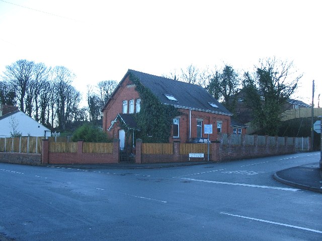
Gadlys Images
Images are sourced within 2km of 53.261563/-3.178769 or Grid Reference SJ2174. Thanks to Geograph Open Source API. All images are credited.


Gadlys is located at Grid Ref: SJ2174 (Lat: 53.261563, Lng: -3.178769)
Unitary Authority: Flintshire
Police Authority: North Wales
Also known as: Galdlys
What 3 Words
///paces.sparkle.qualified. Near Bagillt, Flintshire
Nearby Locations
Related Wikis

District of Delyn
Delyn was a local government district with borough status from 1974 to 1996, being one of six districts in the county of Clwyd, north-east Wales. ��2...
Bagillt
Bagillt (; Welsh pronunciation: [ˈbaɡɪɬt]) is a market town and community in Flintshire, Wales. The town overlooks the Dee Estuary and is between the towns...
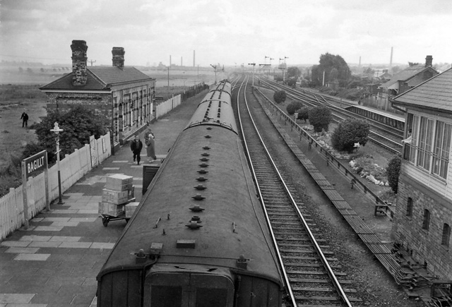
Bagillt railway station
Bagillt railway station was a railway station serving the village of Bagillt on the North Wales Coast Line in the Welsh county of Flintshire. Although...

Delyn (UK Parliament constituency)
Delyn is a constituency represented in the House of Commons of the UK Parliament since 2019 by Rob Roberts, who was elected as a Conservative, but currently...
Nearby Amenities
Located within 500m of 53.261563,-3.178769Have you been to Gadlys?
Leave your review of Gadlys below (or comments, questions and feedback).