Coed Gwern-rhiw

Wood, Forest in Flintshire

Wales

Coed Gwern-rhiw

Windswept trees
Windswept trees Credit: John H Darch

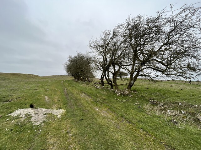
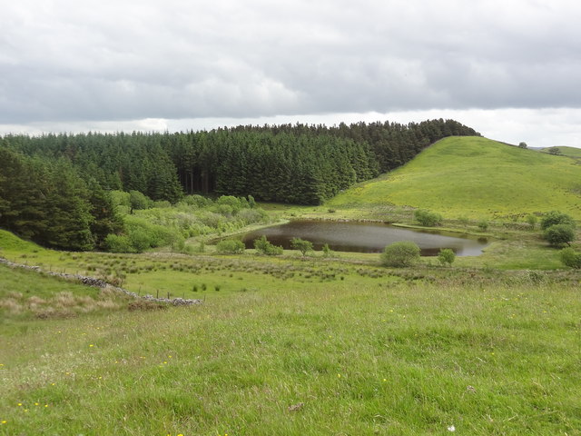
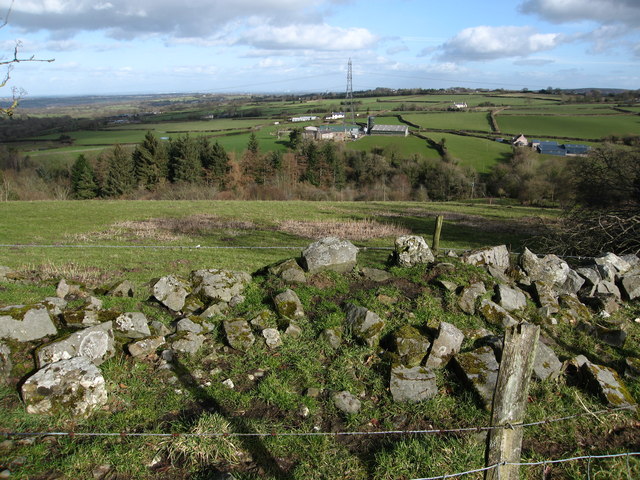
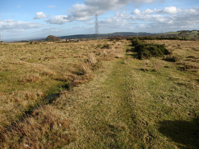
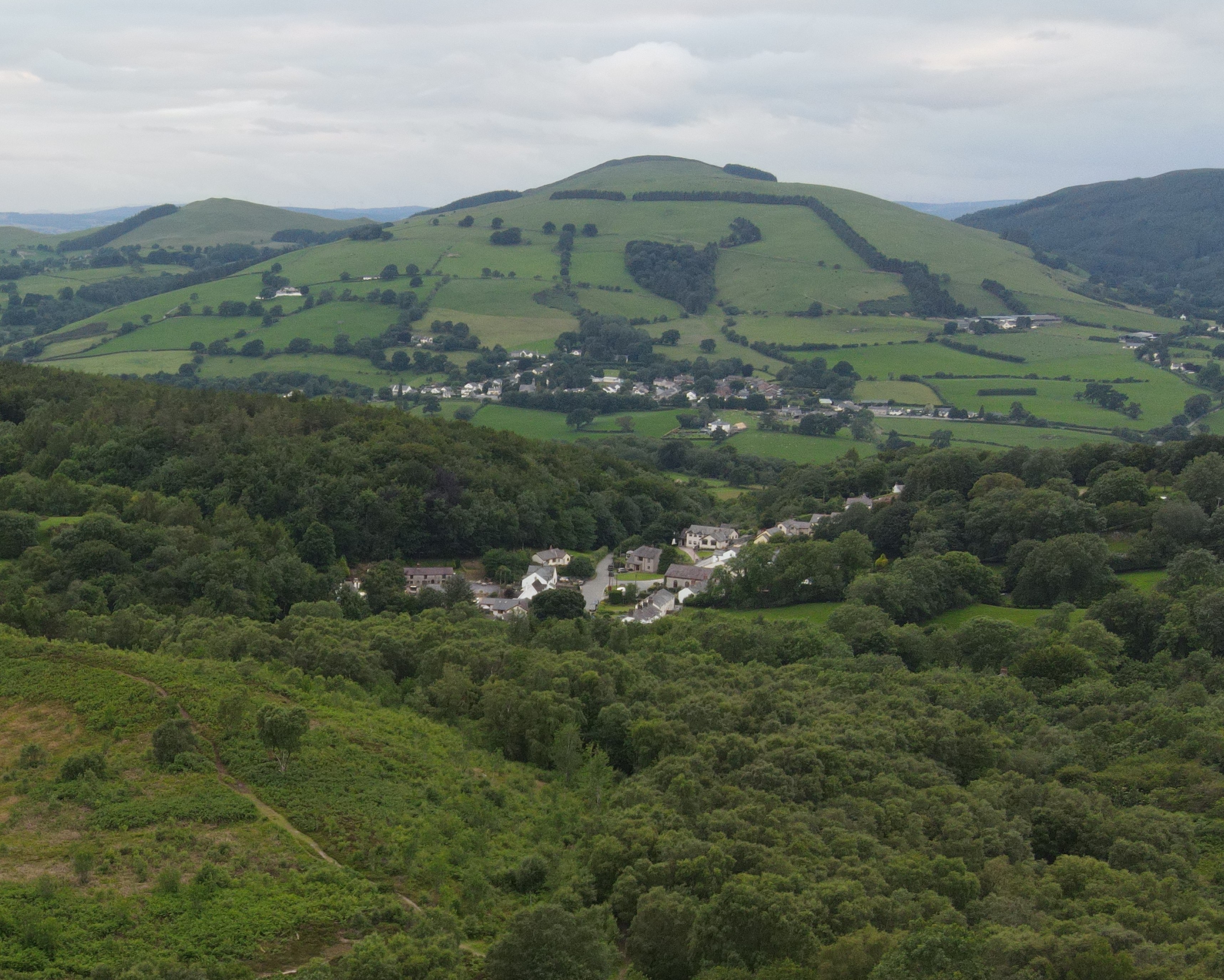
Coed Gwern-rhiw, located in Flintshire, Wales, is a picturesque woodland area known for its natural beauty and diverse wildlife. Spanning approximately 100 hectares, this woodland is a haven for outdoor enthusiasts and nature lovers.

The name "Coed Gwern-rhiw" translates to "Wood, Forest" in English, accurately describing the area's lush greenery and dense coverage of trees. The woodland primarily consists of native broadleaf species, such as oak, beech, and birch, creating a rich and diverse habitat for numerous plant and animal species.

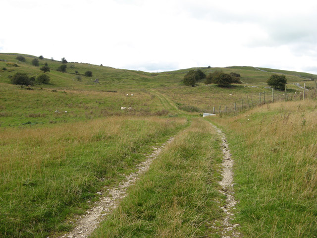
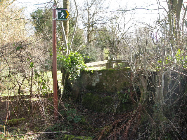
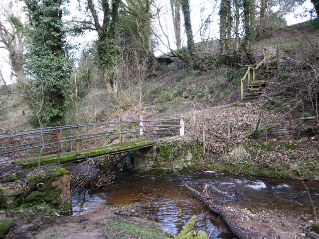
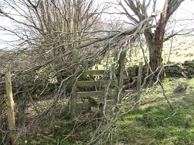
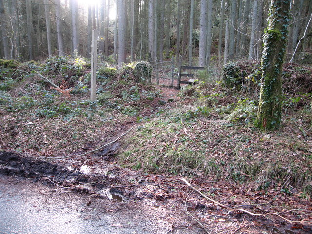
Within Coed Gwern-rhiw, visitors can explore a network of well-maintained footpaths, allowing them to experience the tranquility and beauty of the woods. Additionally, the woodland is home to a variety of wildlife, including birds, mammals, and insects. Birdwatchers will delight in the opportunity to spot species such as the great spotted woodpecker, tawny owl, and various warblers.

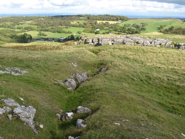
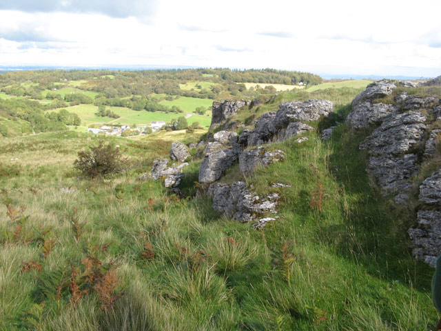
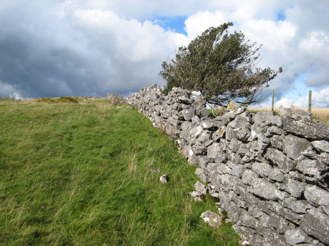
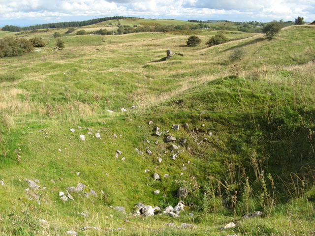
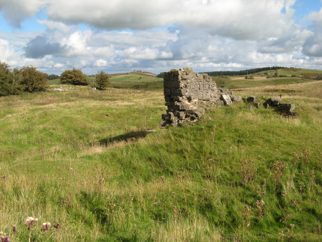
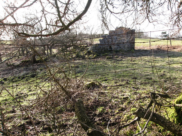
Coed Gwern-rhiw also holds historical significance, as it was once part of an ancient woodland that covered much of Flintshire. Remnants of this history can still be seen in the form of old boundary banks and ditches that have been preserved within the woodland.

Managed by the local authority, Coed Gwern-rhiw offers a peaceful retreat for individuals seeking solace in nature. Whether it be for a leisurely walk, wildlife observation, or simply taking in the breathtaking scenery, this woodland provides a welcome escape from the hustle and bustle of everyday life.

If you have any feedback on the listing, please let us know in the comments section below.

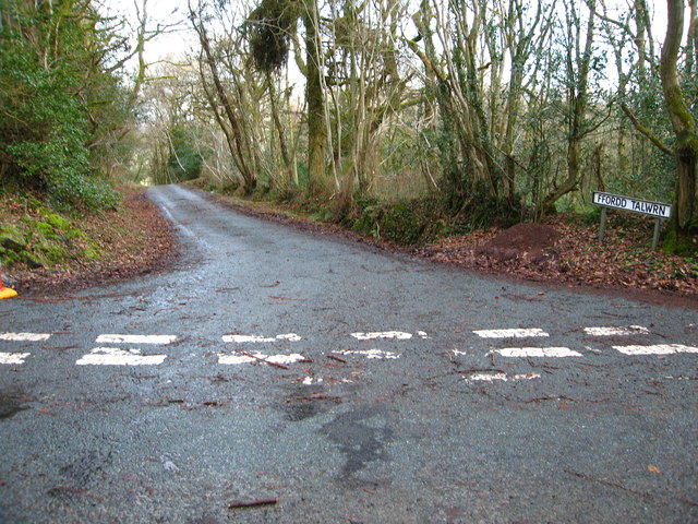
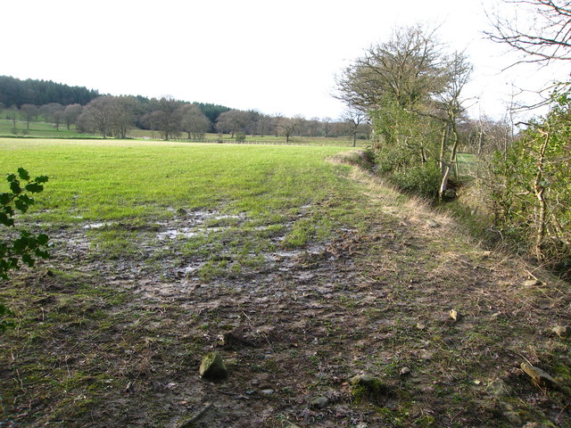
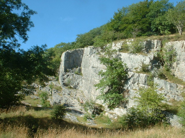
Coed Gwern-rhiw Images

Images are sourced within 2km of 53.118785/-3.1679383 or Grid Reference SJ2158. Thanks to Geograph Open Source API. All images are credited.

Windswept trees
Windswept trees
Collapse structure The removal of material from this mineral vein running east-west on the hilltop plateau has resulted in collapse and soil has washed down into the void, leaving this linear feature on the ground. Spoil heaps <a href="https://www.geograph.org.uk/photo/2641740">SJ1959 : Spoil tip</a> and dressing areas can be identified in the valley to the west of this point, and still yield small amounts of calcite spar and galena (lead ore).
Collapse structure
The removal of material from this mineral vein running east-west on the hilltop plateau has resulted in collapse and soil has washed down into the void, leaving this linear feature on the ground. Spoil heaps SJ1959 : Spoil tip and dressing areas can be identified in the valley to the west of this point, and still yield small amounts of calcite spar and galena (lead ore).
Limestone outcrop A rugged and eroded outcrop of limestone at the top of the hill with a view over Pant-du towards Tir-y-coed.
Limestone outcrop
A rugged and eroded outcrop of limestone at the top of the hill with a view over Pant-du towards Tir-y-coed.
Holly tree A holly tree which has sprung up in the shelter of the field wall has suffered the ravages of the weather.
Holly tree
A holly tree which has sprung up in the shelter of the field wall has suffered the ravages of the weather.
Track to Bryn Alyn The farm track only carries a public footpath, but in the past it was much more important as it was the access to the busy mining field whose irregular tips can be seen in the mid-distance.
Track to Bryn Alyn
The farm track only carries a public footpath, but in the past it was much more important as it was the access to the busy mining field whose irregular tips can be seen in the mid-distance.
Disturbed ground The hummocky, disturbed ground in the near part of this image is the legacy of much mining activity, which tapped the lead veins of the Carboniferous Limestone in this area. The depression in the foreground is probably the remains of a shaft which has collapsed and slowly filled with spoil from the surface.
Disturbed ground
The hummocky, disturbed ground in the near part of this image is the legacy of much mining activity, which tapped the lead veins of the Carboniferous Limestone in this area. The depression in the foreground is probably the remains of a shaft which has collapsed and slowly filled with spoil from the surface.
Winding house The remains of an engine or winding house adjacent to one of the many shafts sunk for access to the lead veins crossing the area. The remains of thick iron bars which secured machinery to heavy timbers, now rotted away, can still be found on the level platform to the right of the walls imaged here. Spoil raised from the shaft was tipped nearby, and can still be seen although the heaps are mostly grass-covered.
Winding house
The remains of an engine or winding house adjacent to one of the many shafts sunk for access to the lead veins crossing the area. The remains of thick iron bars which secured machinery to heavy timbers, now rotted away, can still be found on the level platform to the right of the walls imaged here. Spoil raised from the shaft was tipped nearby, and can still be seen although the heaps are mostly grass-covered.
Bryn Alyn Limestone country easily approach from east and well worth walking to all 3 likely tops...as the least interesting one is the highest. Dry with some occasional sunshine.
Name: Bryn Alyn
Hill number: 5156
Height: 408.3m / 1340ft
Area: 30C: Llandudno to Wrexham
Class: Hu
Grid ref: SJ 20082 58752
Summit feature: no feature: grassy top
Drop: 100.9m
Bryn Alyn
Limestone country easily approach from east and well worth walking to all 3 likely tops...as the least interesting one is the highest. Dry with some occasional sunshine. Name: Bryn Alyn Hill number: 5156 Height: 408.3m / 1340ft Area: 30C: Llandudno to Wrexham Class: Hu Grid ref: SJ 20082 58752 Summit feature: no feature: grassy top Drop: 100.9m
Reservoir on Nercwys Mountain Small reservoir, adjacent to woodland.  May date from the time when there were lead mines nearby.  Not sure what it's used for now, apart from fishing.
Reservoir on Nercwys Mountain
Small reservoir, adjacent to woodland. May date from the time when there were lead mines nearby. Not sure what it's used for now, apart from fishing.
Stone stile and gate for footpaths Heading east and south west
Stone stile and gate for footpaths
Heading east and south west
Footbridge over the Afon Terrig
Some stiles are not easy to negotiate! This footpath stile had been blocked by a branch fallen in the recent storm
Some stiles are not easy to negotiate!
This footpath stile had been blocked by a branch fallen in the recent storm
Across grazing land to Tryddyn-fechan Farm The Afon Terrig runs through the trees in between.  In the far distance on the left you can see across The Wirral to Liverpool Cathedral.
Across grazing land to Tryddyn-fechan Farm
The Afon Terrig runs through the trees in between. In the far distance on the left you can see across The Wirral to Liverpool Cathedral.
Footpath through rough grazing land Heading towards Scotland Farm
Footpath through rough grazing land
Heading towards Scotland Farm
Ruin near the bridleway
The stile for footpaths in Nercwys Forest Is clearly marked but I could not find the path marked on the OS map heading south west from this end or the other end!
The stile for footpaths in Nercwys Forest
Is clearly marked but I could not find the path marked on the OS map heading south west from this end or the other end!
Ffordd Talwrn heading east
Footpath through grazing land With Coed Gwern-rhiw woodland in the distance
Footpath through grazing land
With Coed Gwern-rhiw woodland in the distance
Show me another place!

Coed Gwern-rhiw is located at Grid Ref: SJ2158 (Lat: 53.118785, Lng: -3.1679383)

Unitary Authority: Flintshire

Police Authority: North Wales

What 3 Words

///classic.studs.socialite. Near Treuddyn, Flintshire

Related Wikis

Eryrys

Eryrys (Welsh pronunciation: [ɛˈrərɪs]; alternate spelling Erryrys) is a village in Denbighshire, Wales, located at approximate grid reference SJ203578...

Bryn Alyn

Bryn Alyn is a hill and Site of Special Scientific Interest in Denbighshire, North Wales, and forms part of the Clwydian Range and Dee Valley Area of Outstanding...

Nercwys

Nercwys is a rural village and community in Flintshire, Wales, which is surrounded by open countryside. The community population taken at the 2011 census...

Graianrhyd

Graianrhyd, also spelt Graeanrhyd, is a small, scattered village in the community of Llanarmon-yn-Iâl, Denbighshire, Wales. It lies in hilly limestone...

Nerquis Hall

Nerquis Hall (Welsh: Neuadd Nercwys) is a 17th-century gentry house located in the North Wales village of Nercwys, Flintshire. Completed in the mid-1600s...

Graig, Llanarmon-yn-Ial

Graig, Llanarmon-yn-Ial is a Site of Special Scientific Interest in the preserved county of Clwyd, north Wales. == See also == List of Sites of Special...

Maeshafn

Maeshafn is a small village in Denbighshire, Wales, near the border with Flintshire. Maeshafn lies several miles to the southwest of Mold. Overlooked...

Pot Hole quarry

Pot Hole quarry (also known as Pothole quarry or Three Springs quarry) is a former limestone quarry close to Llanferres, near Mold, in Denbighshire, North...

Nearby Amenities

Located within 500m of 53.118785,-3.1679383
Man Made: mineshaft
Lat/Long: 53.1178505/-3.1747129
Man Made: mineshaft
Lat/Long: 53.1183273/-3.1743811
Board Type: history
Information: board
Tourism: information
Lat/Long: 53.120646/-3.1731584
Board Type: history
Information: board
Tourism: information
Lat/Long: 53.1164047/-3.1738056
The data included in this document is from www.openstreetmap.org. The data is made available under ODbL.

Have you been to Coed Gwern-rhiw?

Leave your review of Coed Gwern-rhiw below (or comments, questions and feedback).