Coed Rhiw-defaid
Wood, Forest in Monmouthshire
Wales
Coed Rhiw-defaid
Coed Rhiw-defaid, located in Monmouthshire, Wales, is a picturesque wood encompassing an area of approximately 200 acres. Also known as Rhiw-defaid Forest, it is situated on the outskirts of the village of Trellech, just a few miles away from the historic town of Monmouth.
The forest is predominantly made up of native broadleaf trees, including oak, beech, ash, and birch, creating a diverse and vibrant ecosystem. The woodland floor is adorned with an array of wildflowers, ferns, and mosses, adding to the natural beauty of the area. In spring, the forest comes alive with a burst of colorful bluebells, creating a breathtaking sight for visitors.
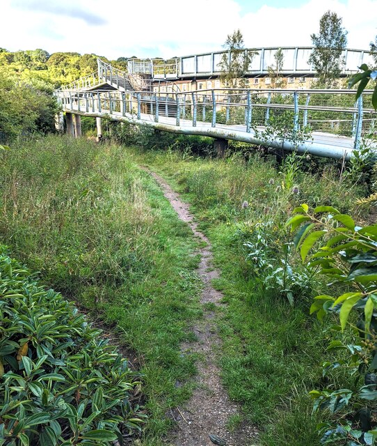
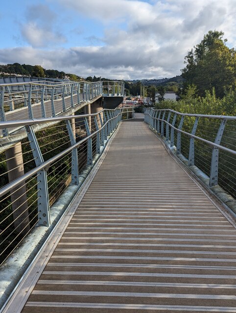
Coed Rhiw-defaid offers an idyllic setting for nature enthusiasts, hikers, and wildlife lovers. Numerous well-maintained footpaths and trails wind their way through the forest, providing opportunities for leisurely walks and invigorating hikes. The tranquil atmosphere and peaceful surroundings make it an ideal spot for individuals seeking solace and relaxation.
The forest is also home to a variety of wildlife, including deer, foxes, badgers, and a rich diversity of bird species. Birdwatchers can spot an array of feathered friends, such as buzzards, woodpeckers, and owls, making it a haven for ornithologists and nature photographers.
Coed Rhiw-defaid is a cherished natural gem in Monmouthshire, offering visitors a chance to immerse themselves in the splendor of a thriving woodland. Whether it's exploring the trails, enjoying a picnic amidst nature, or simply finding peace in the tranquil surroundings, this forest has something to offer for everyone.
If you have any feedback on the listing, please let us know in the comments section below.
Coed Rhiw-defaid Images
Images are sourced within 2km of 51.66715/-3.130252 or Grid Reference ST2197. Thanks to Geograph Open Source API. All images are credited.
Coed Rhiw-defaid is located at Grid Ref: ST2197 (Lat: 51.66715, Lng: -3.130252)
Unitary Authority: Caerphilly
Police Authority: Gwent
What 3 Words
///escapes.shave.slowness. Near Newbridge, Caerphilly
Nearby Locations
Related Wikis

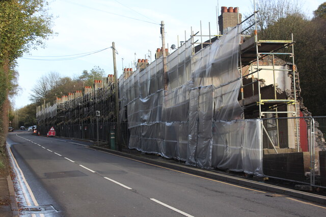
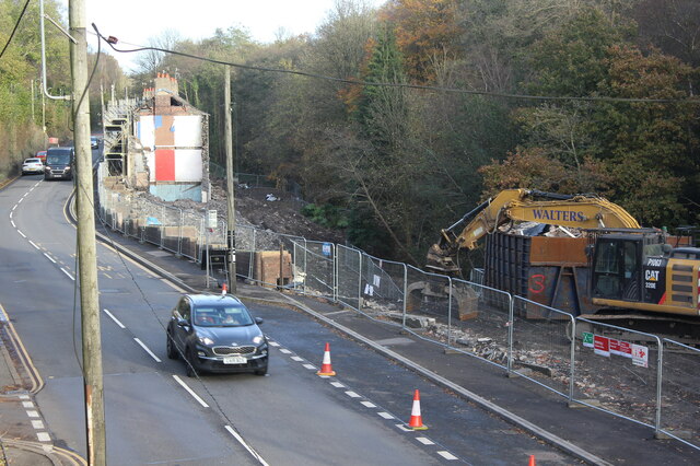
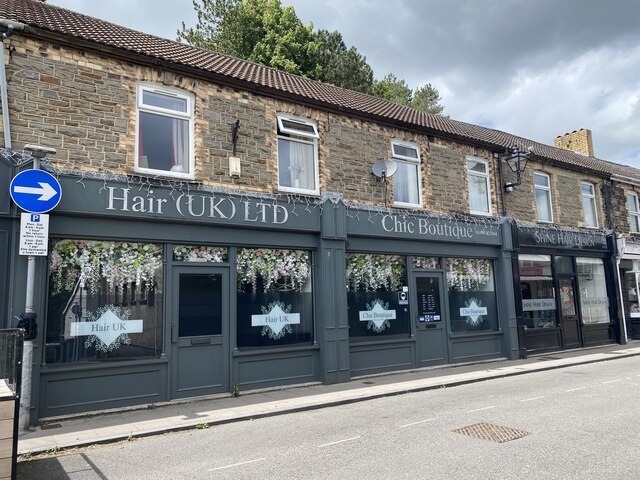
Newbridge, Caerphilly
Newbridge (Welsh: Trecelyn) is a town and community in the county borough of Caerphilly, south Wales. It lies within the historic boundaries of the county...

Celynen North Halt railway station
Celynen North Halt railway station served the town of Abercarn, in the historical county of Glamorganshire, from 1936 to 1962 on the Monmouthshire Railway...
Pwll-y-Pant railway station
Pwll-y-Pant railway station served the suburb of Pwll-y-Pant, in the historical county of Glamorgan, Wales, from 1871 to 1893 on the Rhymney Railway....

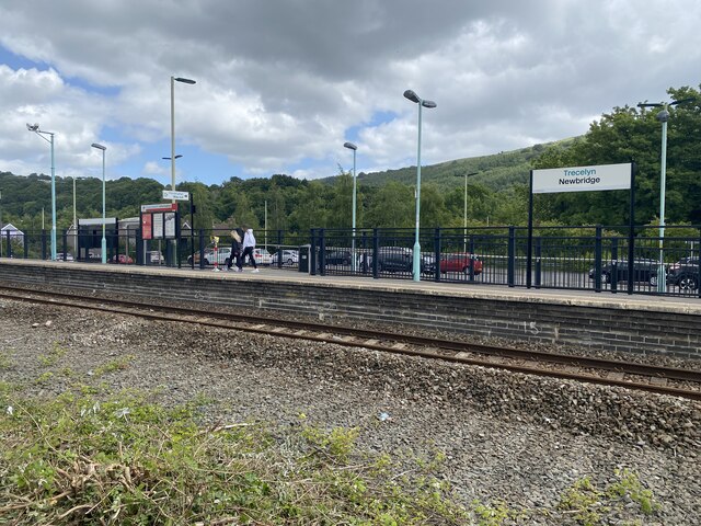
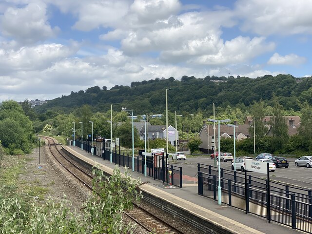
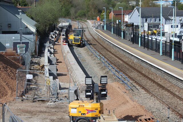
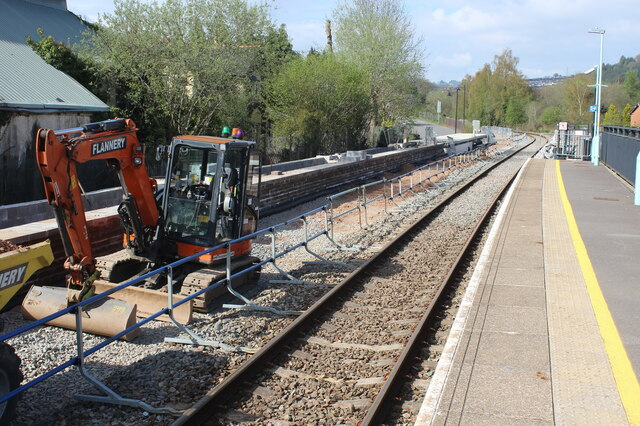
Newbridge railway station (Wales)
Newbridge railway station (Welsh: Trecelyn) is on the Ebbw Valley Railway and serves the towns of Newbridge and Blackwood in south east Wales. The current...

Ebbw Valley Railway
The Ebbw Valley Railway (Welsh: Rheilffordd Cwm Ebwy) is a branch line of the South Wales Main Line in South Wales. Transport for Wales Rail provides an...
Treowen Halt railway station
Treowen Halt railway station served the village of Wonastow, Monmouthshire, Wales, from 1927 to 1960 on the Newport, Abergavenny and Hereford Railway....
Treowen Stars F.C.
Treowen Stars F.C. are a Welsh football club from the village of Treowen near Newbridge, Caerphilly. The club plays in the Ardal Leagues South East, the...
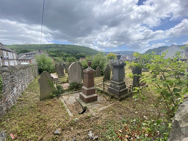
Crumlin, Caerphilly
Crumlin (Welsh: Crymlyn) is a town, community and electoral ward in Caerphilly county borough in South Wales. It is situated in the Ebbw River valley,...
Nearby Amenities
Located within 500m of 51.66715,-3.130252Have you been to Coed Rhiw-defaid?
Leave your review of Coed Rhiw-defaid below (or comments, questions and feedback).