Cae'r-bryn

Settlement in Carmarthenshire

Wales

Cae'r-bryn

Ordnance Survey Surface Block (SN61/T042) This OS Surface Block can be found on the roof of a Pill Box at Bryn Marlais (OS Location name). It is a 4th order triangulation point. Concrete block with brass rod. <a title="https://www.geograph.org.uk/photo/3546941" href="https://www.geograph.org.uk/photo/3546941">Link</a>
Ordnance Survey Surface Block (SN61/T042) Credit: Adrian Dust

The requested URL returned error: 429 Too Many Requests

If you have any feedback on the listing, please let us know in the comments section below.
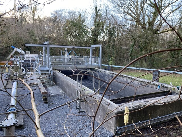
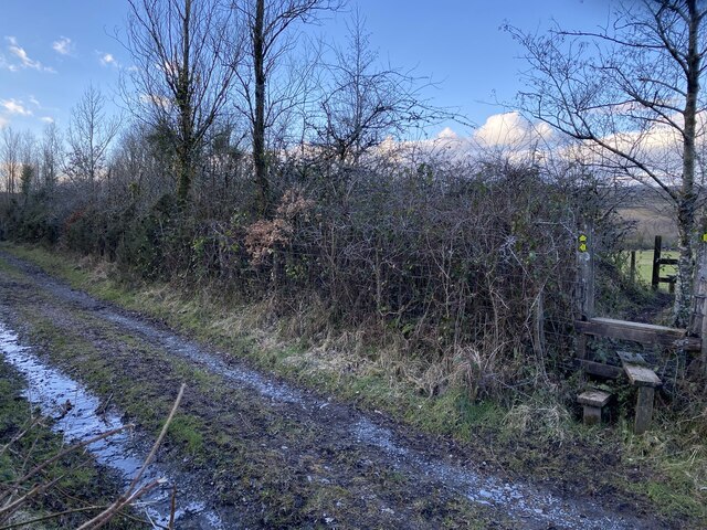
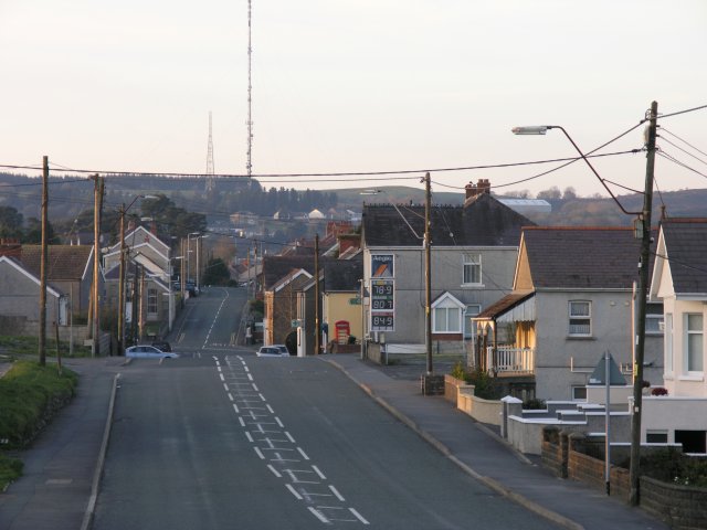
Cae'r-bryn Images

Images are sourced within 2km of 51.805077/-4.035198 or Grid Reference SN5913. Thanks to Geograph Open Source API. All images are credited.

Ordnance Survey Surface Block (SN61/T042) This OS Surface Block can be found on the roof of a Pill Box at Bryn Marlais (OS Location name). It is a 4th order triangulation point. Concrete block with brass rod. <a title="https://www.geograph.org.uk/photo/3546941" href="https://www.geograph.org.uk/photo/3546941">Link</a>
Ordnance Survey Surface Block (SN61/T042)
This OS Surface Block can be found on the roof of a Pill Box at Bryn Marlais (OS Location name). It is a 4th order triangulation point. Concrete block with brass rod. Link
Pill Box at Bryn Marlais This Pill Box can be found at Bryn Marlais and it has Ordnance Survey Surface Block (SN61/T042) on its roof. <a title="https://www.geograph.org.uk/photo/3546912" href="https://www.geograph.org.uk/photo/3546912">Link</a>
Pill Box at Bryn Marlais
This Pill Box can be found at Bryn Marlais and it has Ordnance Survey Surface Block (SN61/T042) on its roof. Link
B4556 nearing Blaenau
B4556 at Blaenau village boundary
Pompren Afon Lash / Afon Lash footbridge Pompren yn rhychwantu Afon Lash.

A footbridge spanning Afon Lash (trans. Lash stream).
Pompren Afon Lash / Afon Lash footbridge
Pompren yn rhychwantu Afon Lash. A footbridge spanning Afon Lash (trans. Lash stream).
Llwybr i Bentregwenlais / Path to Pentregwenlais Llwybr cyhoeddus yn mynd i gyfeiriad Pentregwenlais.

A public footpath heading in the direction of Pentregwenlais (trans. white stream village).
Llwybr i Bentregwenlais / Path to Pentregwenlais
Llwybr cyhoeddus yn mynd i gyfeiriad Pentregwenlais. A public footpath heading in the direction of Pentregwenlais (trans. white stream village).
Llwybr i Bentregwenlais / Path to Pentregwenlais Llwybr cyhoeddus yn mynd i gyfeiriad Pentregwenlais.

A public footpath heading towards Pentregwenlais (trans. white stream village).
Llwybr i Bentregwenlais / Path to Pentregwenlais
Llwybr cyhoeddus yn mynd i gyfeiriad Pentregwenlais. A public footpath heading towards Pentregwenlais (trans. white stream village).
Llwybr i Landybie / Path to Llandybie Llwybr cyhoeddus yn mynd i gyfeiriad Llandybie.

Path heading in the direction of Llandybie (trans. St Tybie's church).
Llwybr i Landybie / Path to Llandybie
Llwybr cyhoeddus yn mynd i gyfeiriad Llandybie. Path heading in the direction of Llandybie (trans. St Tybie's church).
Sewage works Penygroes waste water pumping station.
Sewage works
Penygroes waste water pumping station.
Entrance to Glo Bryn Bach Site entrance for Bryn Bach Coal.
Entrance to Glo Bryn Bach
Site entrance for Bryn Bach Coal.
Footpath junction The footpath to the left has developed into a wide track while the stile crosses the hedge and farmland as a narrow path.
Footpath junction
The footpath to the left has developed into a wide track while the stile crosses the hedge and farmland as a narrow path.
Path junction After crossing the track this path involves climbing over another stile
Path junction
After crossing the track this path involves climbing over another stile
Kissing gate End of the footpath as it enters the village of Blaenau.
Kissing gate
End of the footpath as it enters the village of Blaenau.
St David’s Church, Saron Church in Wales church in the village of Saron.
St David’s Church, Saron
Church in Wales church in the village of Saron.
Housing estate Houses on the road from Saron to Ammanford.
Housing estate
Houses on the road from Saron to Ammanford.
Ordnance Survey Cut Mark This Ordnance Survey Cut Mark can be found on the bridge, W side of road, N face. It marks a point 141.5004m above mean sea level.
Ordnance Survey Cut Mark
This Ordnance Survey Cut Mark can be found on the bridge, W side of road, N face. It marks a point 141.5004m above mean sea level.
Ordnance Survey Cut Mark This Ordnance Survey Cut Mark, partly hidden, can be found on the wall of No 65 Blaenau Road, Pen-y-groes. It marks a point 185.0289m above sea level.
Ordnance Survey Cut Mark
This Ordnance Survey Cut Mark, partly hidden, can be found on the wall of No 65 Blaenau Road, Pen-y-groes. It marks a point 185.0289m above sea level.
Ordnance Survey Pivot This Ordnance Survey Pivot can be found on the window ledge of Waun Wyllt, Cae'r-bryn. It marks a point 116,8299m above mean sea level.
Ordnance Survey Pivot
This Ordnance Survey Pivot can be found on the window ledge of Waun Wyllt, Cae'r-bryn. It marks a point 116,8299m above mean sea level.
Show me another place!

Cae'r-bryn is located at Grid Ref: SN5913 (Lat: 51.805077, Lng: -4.035198)

Unitary Authority: Carmarthenshire

Police Authority: Dyfed Powys

What 3 Words

///charities.october.items. Near Llandybie, Carmarthenshire

Nearby Locations

Cae'r-bryn

Related Wikis

Pen-y-groes, Carmarthenshire

Pen-y-groes is a village in Carmarthenshire, South Wales which developed as a settlement as a result of the anthracite coal trade. The main colliery was...

Saron, Carmarthenshire

Saron is a mining village near the town of Ammanford in Carmarthenshire, Wales. Saron is in the community of Llandybie. It is named after Saron Baptist...

Saron Baptist Chapel, Carmarthenshire

Saron is a Baptist chapel in the village of Saron in the community of Llandybie, Ammanford, Carmarthenshire. Services at Saron are conducted in the Welsh...

Caeau Blaenau-mawr

Caeau Blaenau-mawr is a species rich damp grassland that is a Site of Special Scientific Interest in Carmarthen & Dinefwr, Wales. == See also == List...

Nearby Amenities

Located within 500m of 51.805077,-4.035198
Caerbryn
Place: village
Source: npe
Lat/Long: 51.8055221/-4.0380051
Post Box
Collection Times: Mo-Fr 16:30; Sa 11:30
Note: Royal Mail 2013 dataset has this incorrectly located 10 Km east at Gwauncaegerwyn
Post Box Type: lamp
Ref: SA18 37
Royal Cypher: EIIR
Royal Cypher Wikidata: Q33102113
Lat/Long: 51.8047614/-4.0321853
Clwb Pêl-Droed Amatur Caerbryn
Addr City: Caerbryn
Addr Postcode: SA18 3DQ
Addr Street: Caerbryn Road
Club: sport
Email: richard.barnes400@gmail.com
Name Cy: Clwb Pêl-Droed Amatur Caerbryn
Name En: Caerbryn AFC
Phone: +44 1269 832 911
Source: West Wales Football Association
Sport: soccer
Website: https://en-gb.facebook.com/pg/Caerbrynafc/
Lat/Long: 51.8052045/-4.0350754
Townhall
Neuadd Bentref Caerbryn
Addr City: Caerbryn
Addr Postcode: SA18 3DX
Addr Street: Caerbryn Road
Name Cy: Neuadd Bentref Caerbryn
Name En: Caerbryn Village Hall
Phone: +44 1269 851 276
Start Date: 1944
Townhall Type: village
Lat/Long: 51.80491/-4.0338851
Direction: 255
Generator Method: photovoltaic
Generator Output Electricity: yes
Generator Solar Modules: 16
Generator Source: solar
Generator Type: solar_photovoltaic_panel
Location: roof
Power: generator
Lat/Long: 51.8053638/-4.0286793
Direction: S
Generator Method: photovoltaic
Generator Output Electricity: yes
Generator Solar Modules: 14
Generator Source: solar
Generator Type: solar_photovoltaic_panel
Location: roof
Power: generator
Lat/Long: 51.8049463/-4.0318698
Direction: 170
Generator Method: photovoltaic
Generator Output Electricity: yes
Generator Solar Modules: 14
Generator Source: solar
Generator Type: solar_photovoltaic_panel
Location: roof
Power: generator
Lat/Long: 51.8038068/-4.0356115
Turning Circle
Lat/Long: 51.8032445/-4.0291044
The data included in this document is from www.openstreetmap.org. The data is made available under ODbL.

Have you been to Cae'r-bryn?

Leave your review of Cae'r-bryn below (or comments, questions and feedback).