Long Wood

Wood, Forest in Brecknockshire

Wales

Long Wood

Offa's Dyke Path by Upper Danyforest The path here is descending, as one goes northwards, from Hay Bluff towards Cusop and Hay-on-Wye, with the Wye Valley visible in the distance.
Offa's Dyke Path by Upper Danyforest Credit: A J Paxton

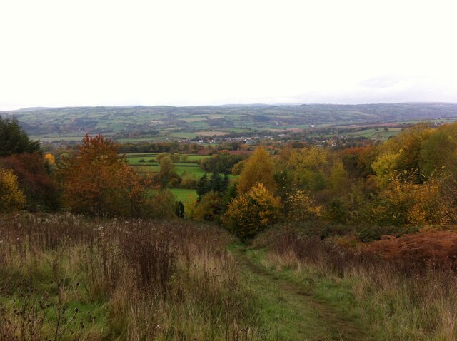
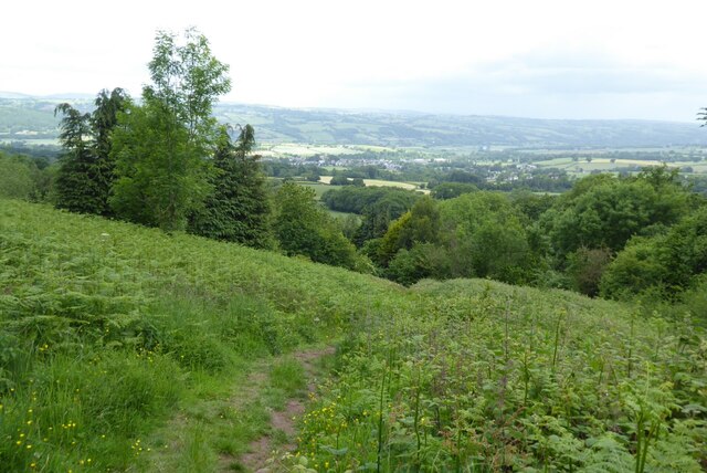
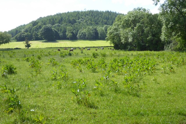
Long Wood is a dense forest located in the county of Brecknockshire, Wales. It covers an expansive area of approximately 500 acres, making it one of the largest woodlands in the region. The forest is situated on the southeastern slopes of the Brecon Beacons, offering breathtaking views of the surrounding countryside.

The woodland is characterized by its diverse and abundant flora and fauna. It boasts a rich variety of tree species, including oak, beech, ash, and birch. These towering trees provide a thriving habitat for numerous bird species, such as woodpeckers, owls, and warblers. Additionally, the forest is home to a wide array of mammals, including badgers, foxes, and deer.

Long Wood is a popular destination for nature enthusiasts and outdoor adventurers alike. Its extensive network of well-maintained trails offers visitors the opportunity to explore its beauty on foot, by bike, or even on horseback. The forest also features several picnic areas and camping spots, allowing visitors to fully immerse themselves in the tranquility of the natural surroundings.

Furthermore, Long Wood plays a crucial role in the conservation efforts of Brecknockshire. It is managed by a local authority to ensure the preservation of its delicate ecosystem. The forest also serves as an important carbon sink, absorbing and storing significant amounts of carbon dioxide.

Overall, Long Wood is a captivating and ecologically significant forest that provides both recreational and environmental benefits to the people of Brecknockshire.

If you have any feedback on the listing, please let us know in the comments section below.
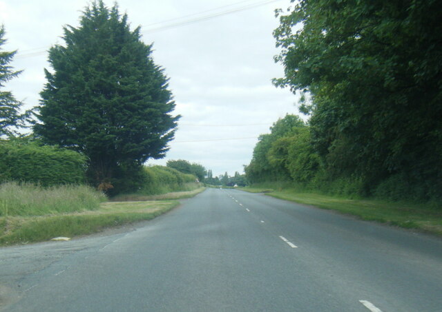
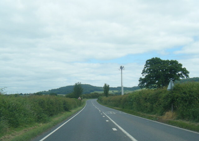
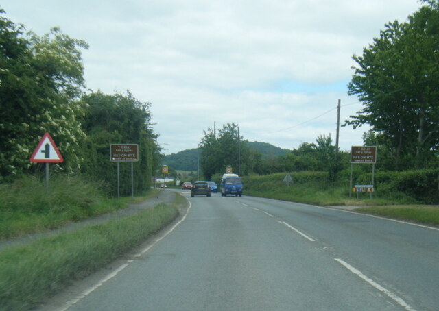
Long Wood Images

Images are sourced within 2km of 52.055695/-3.1411572 or Grid Reference SO2140. Thanks to Geograph Open Source API. All images are credited.

Offa's Dyke Path by Upper Danyforest The path here is descending, as one goes northwards, from Hay Bluff towards Cusop and Hay-on-Wye, with the Wye Valley visible in the distance.
Offa's Dyke Path by Upper Danyforest
The path here is descending, as one goes northwards, from Hay Bluff towards Cusop and Hay-on-Wye, with the Wye Valley visible in the distance.
Offa's Dyke Path descending towards Cusop The path here is descending, as one goes northwards, by Upper Danyforest towards Cusop and Hay-on-Wye, with the hills to the north of the Wye visible in the distance.
Offa's Dyke Path descending towards Cusop
The path here is descending, as one goes northwards, by Upper Danyforest towards Cusop and Hay-on-Wye, with the hills to the north of the Wye visible in the distance.
Gŵyl y Gelli / Hay Festival A little subdued on its final day, a wet Sunday.
Gŵyl y Gelli / Hay Festival
A little subdued on its final day, a wet Sunday.
View over the Wye valley View over the Wye valley from Offa's Dyke Path near Upper Daneyforest.
View over the Wye valley
View over the Wye valley from Offa's Dyke Path near Upper Daneyforest.
Offa's Dyke Path above Hay-on-Wye Offa's Dyke Path descending into the Wye valley above Hay-on-Wye.
Offa's Dyke Path above Hay-on-Wye
Offa's Dyke Path descending into the Wye valley above Hay-on-Wye.
Farmland below Upper Danyforest Cattle in a field below Upper Danyforest.  Viewed from Offa's Dyke Path.
Farmland below Upper Danyforest
Cattle in a field below Upper Danyforest. Viewed from Offa's Dyke Path.
B4350 at Little Ffordd Fawr
B4350 near Gypsy Castle Farm
B4350 Brecon Road at Hay-on-Wye boundary
Gate to Llanigon Church, Powys
Ford at Lanigon This is a second ford on the Digedi Brook at Llanigon.
Ford at Lanigon
This is a second ford on the Digedi Brook at Llanigon.
Ford at Plas Celyn This ford is found at Plas Celyn.
Ford at Plas Celyn
This ford is found at Plas Celyn.
A Llanigon Churchyard Yew The largest Churchyard Yew at Llanigon.
A Llanigon Churchyard Yew
The largest Churchyard Yew at Llanigon.
Llanigon, St Eigon
Llanigon, St Eigon
Farm buildings at Little Farm
Country road near Plas Celyn The sign reads "Unsuitable for HGVs". What lies ahead is scarcely suitable for any kind of vehicle!
Country road near Plas Celyn
The sign reads "Unsuitable for HGVs". What lies ahead is scarcely suitable for any kind of vehicle!
Village street in Llanigon
Ordnance Survey Cut Mark This OS cut mark can be found on the NW parapet of the bridge. It marks a point 121.692m above mean sea level.
Ordnance Survey Cut Mark
This OS cut mark can be found on the NW parapet of the bridge. It marks a point 121.692m above mean sea level.
Show me another place!

Long Wood is located at Grid Ref: SO2140 (Lat: 52.055695, Lng: -3.1411572)

Unitary Authority: Powys

Police Authority: Dyfed Powys

What 3 Words

///patching.relishing.vibe. Near Hay, Powys

Related Wikis

Llanigon

Llanigon is a village and community in Powys, Wales on the edge of the Brecon Beacons National Park, north of the Black Mountains, Wales. The community...

Hen-allt Common

Hen-allt Common is a Site of Special Scientific Interest in Brecknock, Powys, Wales. Its special features include unimproved grassland, Flat-sedge Blysmus...

Hay St Marys F.C.

Hay St Marys F.C. are a football club based in Hay-on-Wye. They currently play in the Ardal SE, the third tier of the Welsh football pyramid. The home...

St Mary's Church, Hay-on-Wye

St Mary's (also St Mary the Virgin) is an Anglican parish church in Hay-on-Wye, Brecknockshire, Powys, Wales. Separated by a deep dingle, which probably...

Nearby Amenities

Located within 500m of 52.055695,-3.1411572
Barrier: stile
Foot: yes
Lat/Long: 52.0544169/-3.1466671
Barrier: stile
Foot: yes
Lat/Long: 52.0579075/-3.1432309
Barrier: stile
Foot: yes
Lat/Long: 52.05722/-3.141712
Pen-y-common
Ele: 250
Natural: peak
Lat/Long: 52.0549504/-3.1367096
The data included in this document is from www.openstreetmap.org. The data is made available under ODbL.

Have you been to Long Wood?

Leave your review of Long Wood below (or comments, questions and feedback).