Pound Wood

Wood, Forest in Radnorshire

Wales

Pound Wood

Lane to The Farm Lane dropping off the moorland towards Pennant and The Farm. The lower ground in the valley of Lawn Brook is enclosed, with common grazing on Beacon Hill above.
Lane to The Farm Credit: Richard Webb

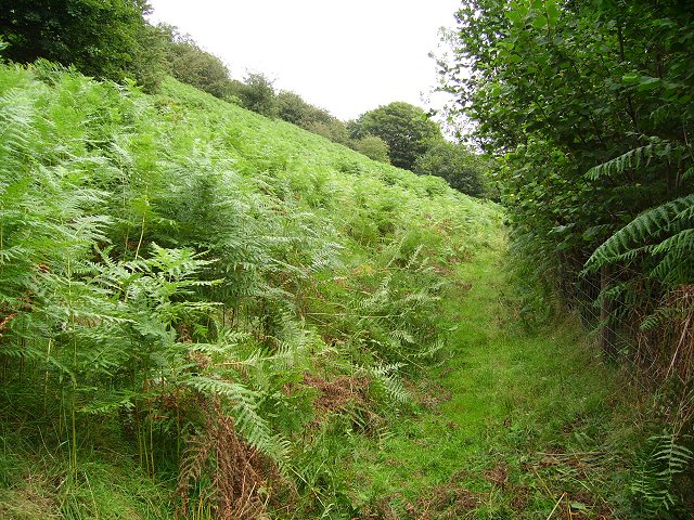
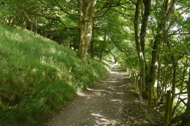
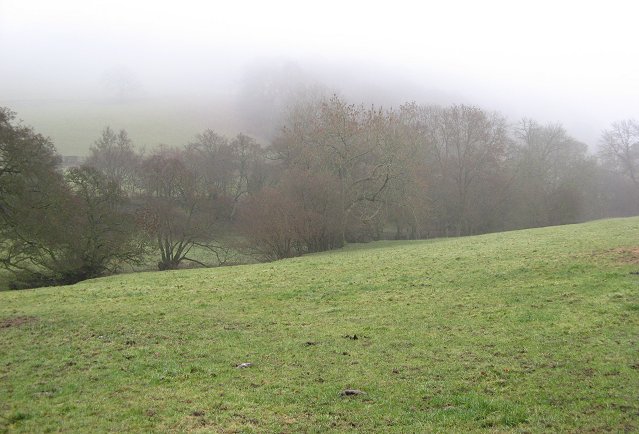
Pound Wood is a beautiful and serene forest located in the county of Radnorshire, Wales. Situated near the village of Radnor, the wood covers an area of approximately 100 acres. The ancient woodland is known for its diverse range of trees, including oak, birch, beech, and ash, creating a rich and vibrant landscape.

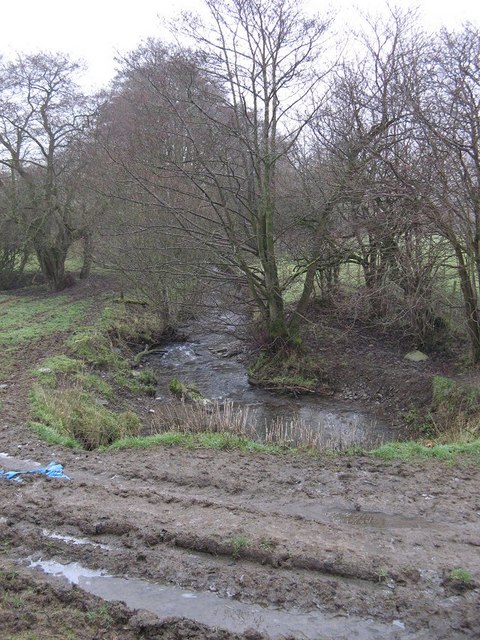
The wood is a haven for wildlife, with numerous species calling it their home. It is home to a variety of birds, such as woodpeckers, owls, and buzzards, which can often be spotted flying overhead or perched on the branches. The forest floor is teeming with flora and fauna, with wildflowers, ferns, and mushrooms adding a splash of color to the surroundings.

Pound Wood offers visitors a peaceful and tranquil escape from the hustle and bustle of everyday life. It has a network of well-maintained paths, allowing visitors to explore the forest and enjoy leisurely walks or hikes. The wood is also a popular spot for nature enthusiasts, photographers, and artists, who are drawn to its natural beauty and captivating scenery.

The wood is managed by a local conservation organization, ensuring its preservation and protection. They have implemented sustainable practices to maintain the forest's ecological balance and encourage biodiversity. This includes selective tree thinning and the creation of wildlife habitats.

Pound Wood is a true gem of Radnorshire, offering visitors a chance to connect with nature and experience the tranquility of a woodland environment. Whether it be for a leisurely stroll, birdwatching, or simply enjoying the serenity, Pound Wood is a must-visit destination for nature lovers and those seeking a peaceful retreat.

If you have any feedback on the listing, please let us know in the comments section below.
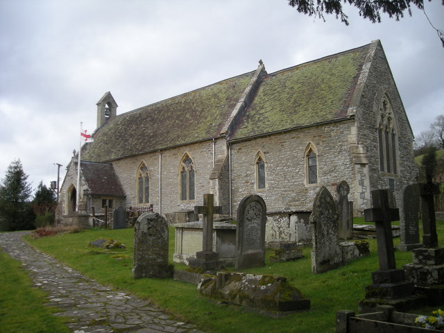
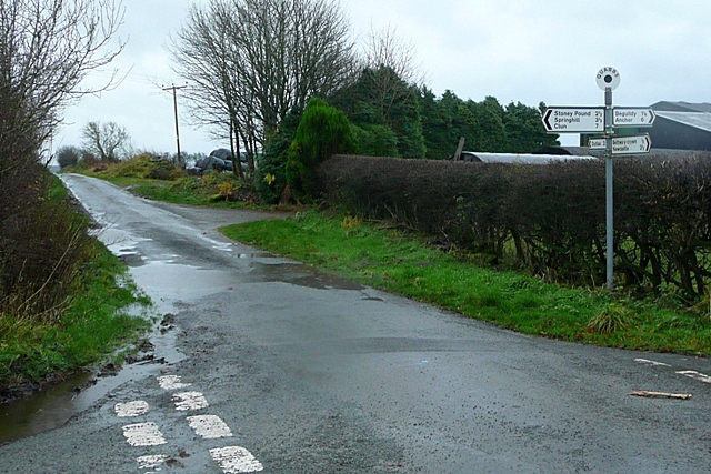
Pound Wood Images

Images are sourced within 2km of 52.381867/-3.1555009 or Grid Reference SO2176. Thanks to Geograph Open Source API. All images are credited.

Lane to The Farm Lane dropping off the moorland towards Pennant and The Farm. The lower ground in the valley of Lawn Brook is enclosed, with common grazing on Beacon Hill above.
Lane to The Farm
Lane dropping off the moorland towards Pennant and The Farm. The lower ground in the valley of Lawn Brook is enclosed, with common grazing on Beacon Hill above.
Bracken, Beacon Hill An almost disused farm track, kept open by someone recently cutting the bracken.
Bracken, Beacon Hill
An almost disused farm track, kept open by someone recently cutting the bracken.
On Beacon Hill Shade seeking sheep on the common above Fron.
On Beacon Hill
Shade seeking sheep on the common above Fron.
Pant y Ffynnon Gully carrying a young stream from the eponymous spring. Clun Forest in the background. 
The moor here is choked in bracken.
Pant y Ffynnon
Gully carrying a young stream from the eponymous spring. Clun Forest in the background. The moor here is choked in bracken.
Road, Fron Wood Under Beacon Hill.
Road, Fron Wood
Under Beacon Hill.
Farm road, Pennant Heading for the common.
Farm road, Pennant
Heading for the common.
Road, Pennant Near the end of the public road up from the Teme.
Road, Pennant
Near the end of the public road up from the Teme.
Heath Beacon Hill Common above the Heath farms. The ridge continues as Cefn Craig down to the Teme. The main land use here, with thin soils, and no improvement is sheep farming. There is also some grouse shooting.
Heath
Beacon Hill Common above the Heath farms. The ridge continues as Cefn Craig down to the Teme. The main land use here, with thin soils, and no improvement is sheep farming. There is also some grouse shooting.
Road to Brynedin Beacon Hill, hidden in the mist.
Road to Brynedin
Beacon Hill, hidden in the mist.
River Teme This section of the river is entirely in Radnorshire, the border runs along the 1534 course of the river, it has moved around a bit since then.
River Teme
This section of the river is entirely in Radnorshire, the border runs along the 1534 course of the river, it has moved around a bit since then.
Lawn Brook Drops down off Beacon Hill (its up there somewhere).
Lawn Brook
Drops down off Beacon Hill (its up there somewhere).
Brook, Dutlas Looking upstream. Runs down to the Teme from Beacon Hill.
Brook, Dutlas
Looking upstream. Runs down to the Teme from Beacon Hill.
Dutlas Phonebox and bridge in the square's corner.
Dutlas
Phonebox and bridge in the square's corner.
Vedwllwyd - a warm welcome It's a bridleway! Nothing winds a goml up more than a designated right of way.
Vedwllwyd - a warm welcome
It's a bridleway! Nothing winds a goml up more than a designated right of way.
Brook from Cwm-yr-Ingel Another stream draining Beacon Hill. Lined with alders.
Brook from Cwm-yr-Ingel
Another stream draining Beacon Hill. Lined with alders.
The Runnis, Dutlas, Knighton, Powys View from above The Runnis, looking west to Vedwllwyd.
The Runnis, Dutlas, Knighton, Powys
View from above The Runnis, looking west to Vedwllwyd.
Newly laid Hedge
Newly laid Hedge
Track to New House
Track to New House
Show me another place!

Pound Wood is located at Grid Ref: SO2176 (Lat: 52.381867, Lng: -3.1555009)

Unitary Authority: Powys

Police Authority: Dyfed Powys

What 3 Words

///prouder.commuting.panics. Near Knighton, Powys

Related Wikis

Llanfair Waterdine

Llanfair Waterdine, sometimes written as Llanvair Waterdine and meaning St Mary's Church Waterdine, is a small village and civil parish in Shropshire,...

Llangynllo railway station

Llangynllo railway station is a countryside stop in Powys about 5 miles west of Knighton, on the Heart of Wales Line. The station is located 1.4 miles...

Beguildy

Beguildy (Welsh: Bugeildy) is a village and community in Powys, Wales. It lies in a remote tract of countryside, 8 miles (13 km) northwest of Knighton...

Quabbs

Quabbs is a small, scattered hamlet in the southwest of Shropshire, near the border between England and Wales. The name, which also occurs in Gloucestershire...

Nearby Amenities

Located within 500m of 52.381867,-3.1555009
Power: pole
Lat/Long: 52.3842555/-3.149254
Power: pole
Lat/Long: 52.3835417/-3.1490341
Power: pole
Lat/Long: 52.3819716/-3.149372
Power: pole
Lat/Long: 52.3809124/-3.1495732
Power: pole
Lat/Long: 52.3799873/-3.1495088
The data included in this document is from www.openstreetmap.org. The data is made available under ODbL.

Have you been to Pound Wood?

Leave your review of Pound Wood below (or comments, questions and feedback).