Coed Argoed
Wood, Forest in Monmouthshire
Wales
Coed Argoed
Coed Argoed, located in Monmouthshire, Wales, is a picturesque wood or forest that offers a serene and tranquil escape for nature enthusiasts. Spanning over 400 acres, it is a haven for wildlife and home to a diverse range of flora and fauna.
The woodland is primarily made up of native deciduous trees such as oak, birch, and beech, which create a stunning canopy overhead. The forest floor is adorned with a carpet of bluebells in the spring, adding a burst of color to the landscape. Walking through Coed Argoed, visitors can enjoy the soothing sounds of birdsong and the gentle rustling of leaves, creating a truly immersive experience.
The wood is crisscrossed with a network of well-maintained walking trails, providing opportunities for both short strolls and longer hikes. These trails offer stunning views of the surrounding countryside, including the nearby Blorenge Mountain and the Usk Valley. Along the way, visitors may encounter a variety of wildlife, including deer, badgers, and a rich assortment of bird species.
Coed Argoed is not just a natural treasure; it also serves as an important educational resource. The forest is frequently used as an outdoor classroom, with various educational programs and activities geared towards school children and visitors of all ages. These programs aim to foster an understanding and appreciation for the natural world, as well as encourage sustainable practices.
Overall, Coed Argoed in Monmouthshire is a captivating woodland that offers a welcome retreat for those seeking solace in nature. With its stunning beauty, diverse wildlife, and educational opportunities, it is a must-visit destination for nature lovers and outdoor enthusiasts alike.
If you have any feedback on the listing, please let us know in the comments section below.
Coed Argoed Images
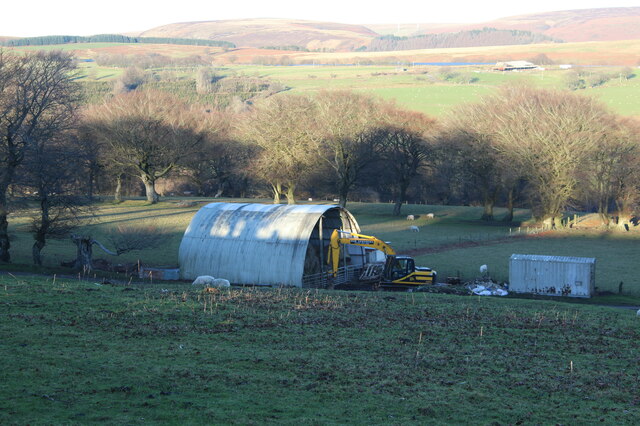
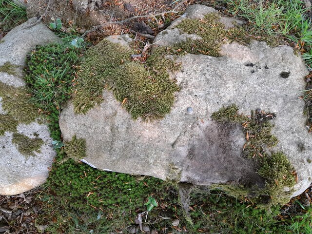
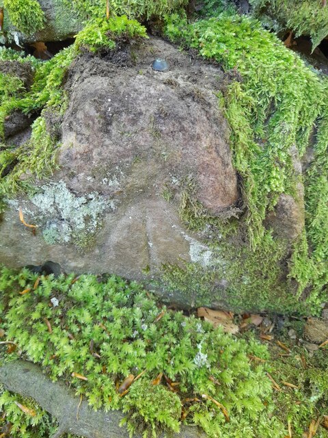
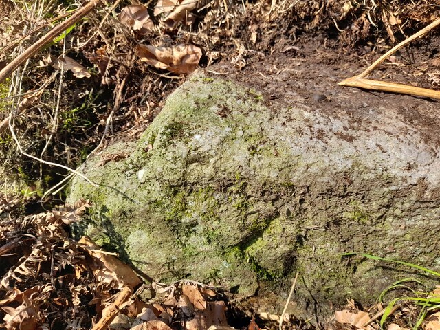
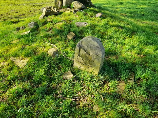
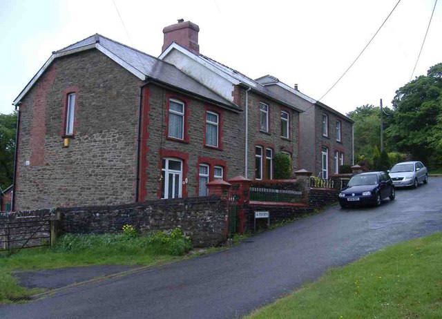
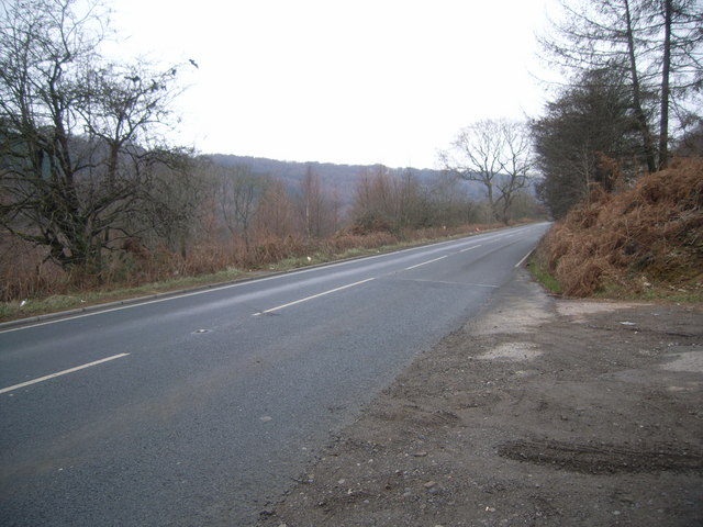
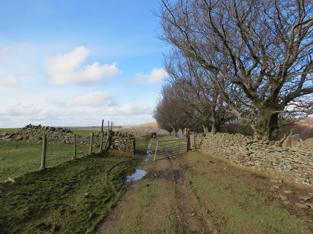
Images are sourced within 2km of 51.711842/-3.1419175 or Grid Reference SO2102. Thanks to Geograph Open Source API. All images are credited.


Coed Argoed is located at Grid Ref: SO2102 (Lat: 51.711842, Lng: -3.1419175)
Unitary Authority: Blaenau Gwent
Police Authority: Gwent
What 3 Words
///funky.stress.prowl. Near Abertillery, Blaenau Gwent
Nearby Locations
Related Wikis
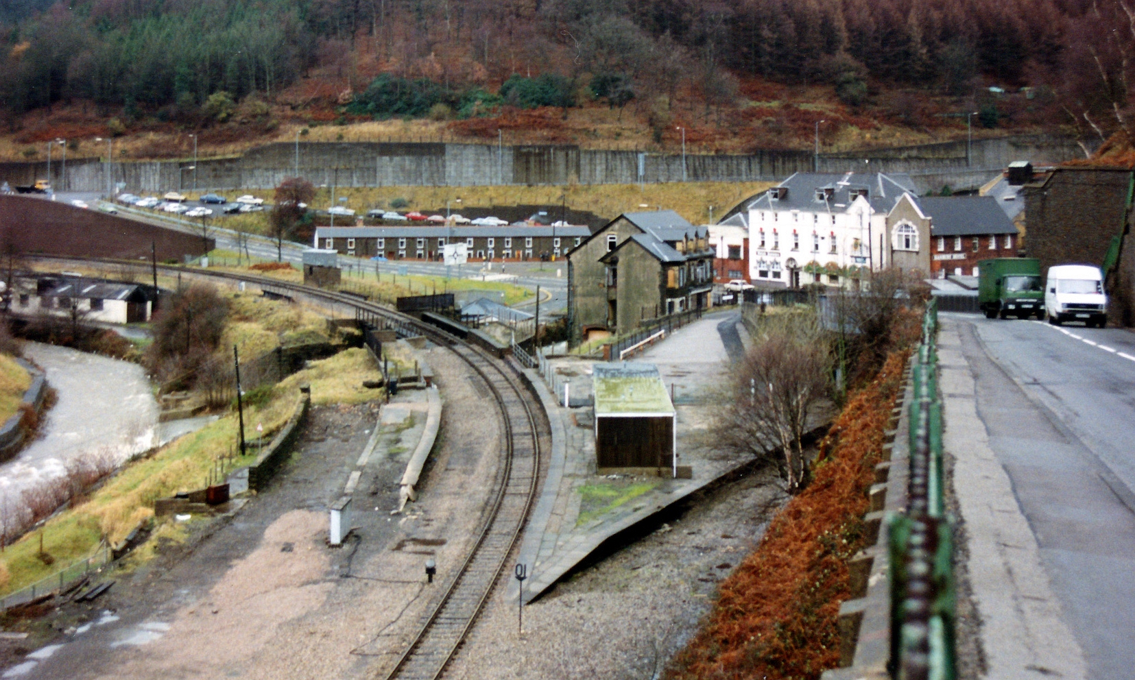
Aberbeeg railway station
Aberbeeg railway station served the village of Aberbeeg in Monmouthshire, Wales. It was the junction where the Monmouthshire Railway and Canal Company...

Aberbeeg
The small village of Aberbeeg (from Welsh Aber-bîg 'mouth of the river Bîg') lies in both the county borough of Blaenau Gwent and Caerphilly County Borough...

Abertillery and District Hospital
Abertillery and District Hospital (Welsh: Ysbyty Abertyleri a'r Cylch) was a community hospital in Aberbeeg, near Abertillery, in Blaenau Gwent County...

St Illtyd's Church, Llanhilleth
St Illtyd's Church is a deconsecrated church in Llanhilleth, Blaenau Gwent, Wales. A Grade II* listed building, it is the oldest standing building in the...

St Illtyd
St Illtyd is a hamlet near Aberbeeg, in southeast Wales, within the historic boundaries of Monmouthshire. It is situated on the mountain road between Pontypool...

Brynithel
Brynithel is a village in the Ebbw Valley in Blaenau Gwent. It belongs in the community of Llanhilleth. It is located 1.79 miles (2.88 km) south of Abertillery...
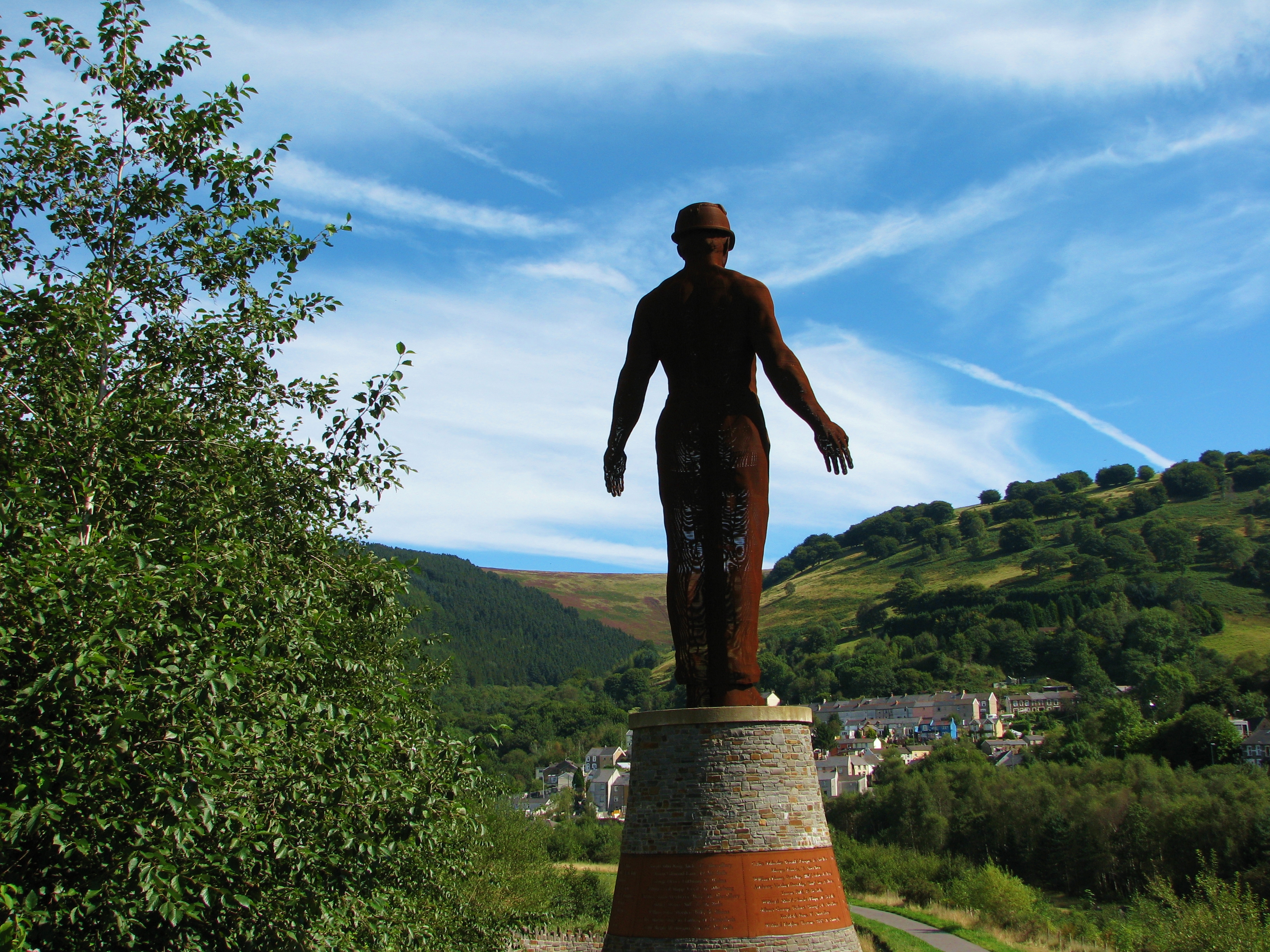
Guardian (sculpture)
The Guardian is a 20 m (66 ft) tall statue overlooking Parc Arael Griffin, the landscaped former Six Bells Colliery site, in the South Wales mining town...
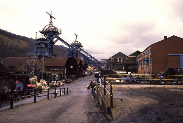
Six Bells Colliery
Six Bells Colliery was a colliery located in Six Bells, Abertillery, Gwent, Wales. On 28 June 1960 it was the site of an underground explosion which killed...
Nearby Amenities
Located within 500m of 51.711842,-3.1419175Have you been to Coed Argoed?
Leave your review of Coed Argoed below (or comments, questions and feedback).