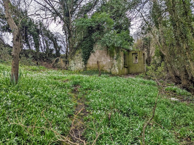
Hafod Wood

Wood, Forest in Flintshire

Wales

Hafod Wood

Trig Point, Halkyn Mountain
Trig Point, Halkyn Mountain Credit: Chris Andrews

The requested URL returned error: 429 Too Many Requests

If you have any feedback on the listing, please let us know in the comments section below.
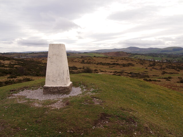
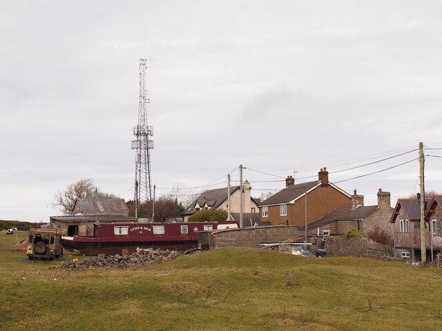
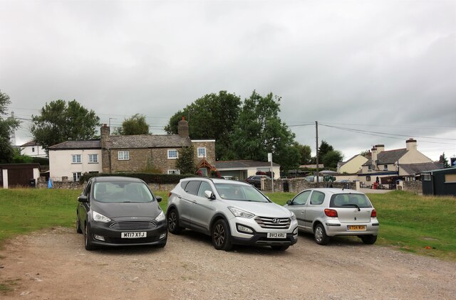
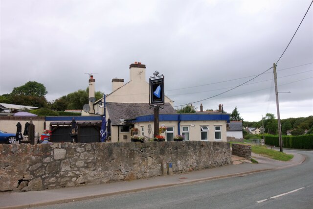
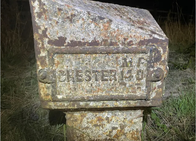
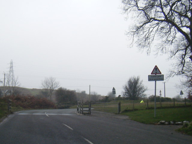
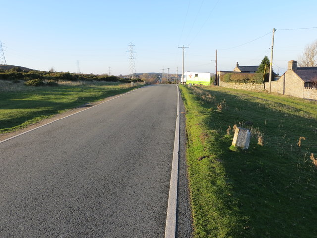
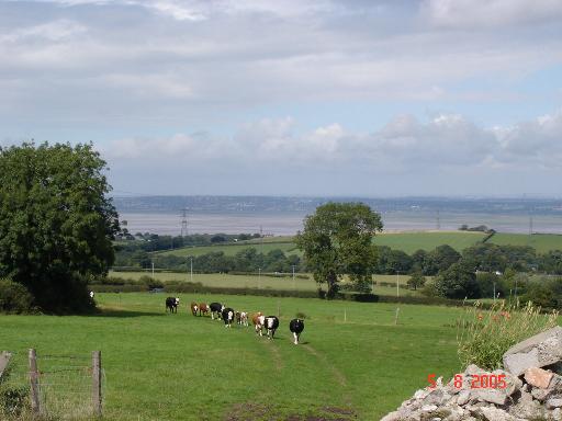
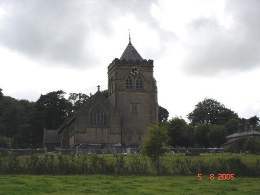
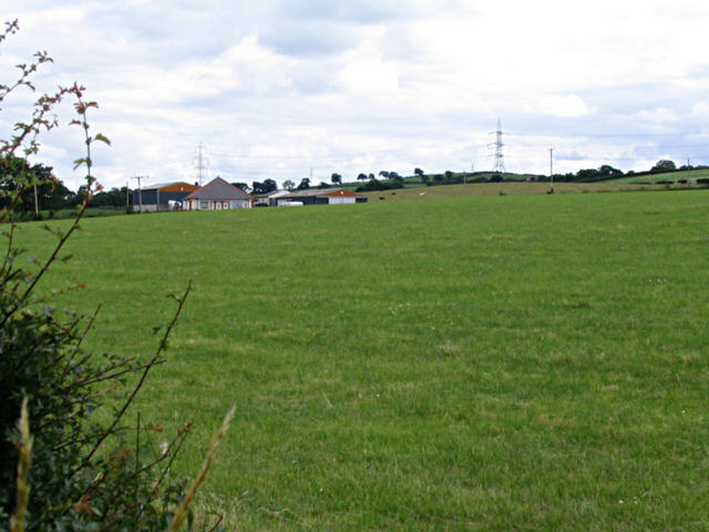
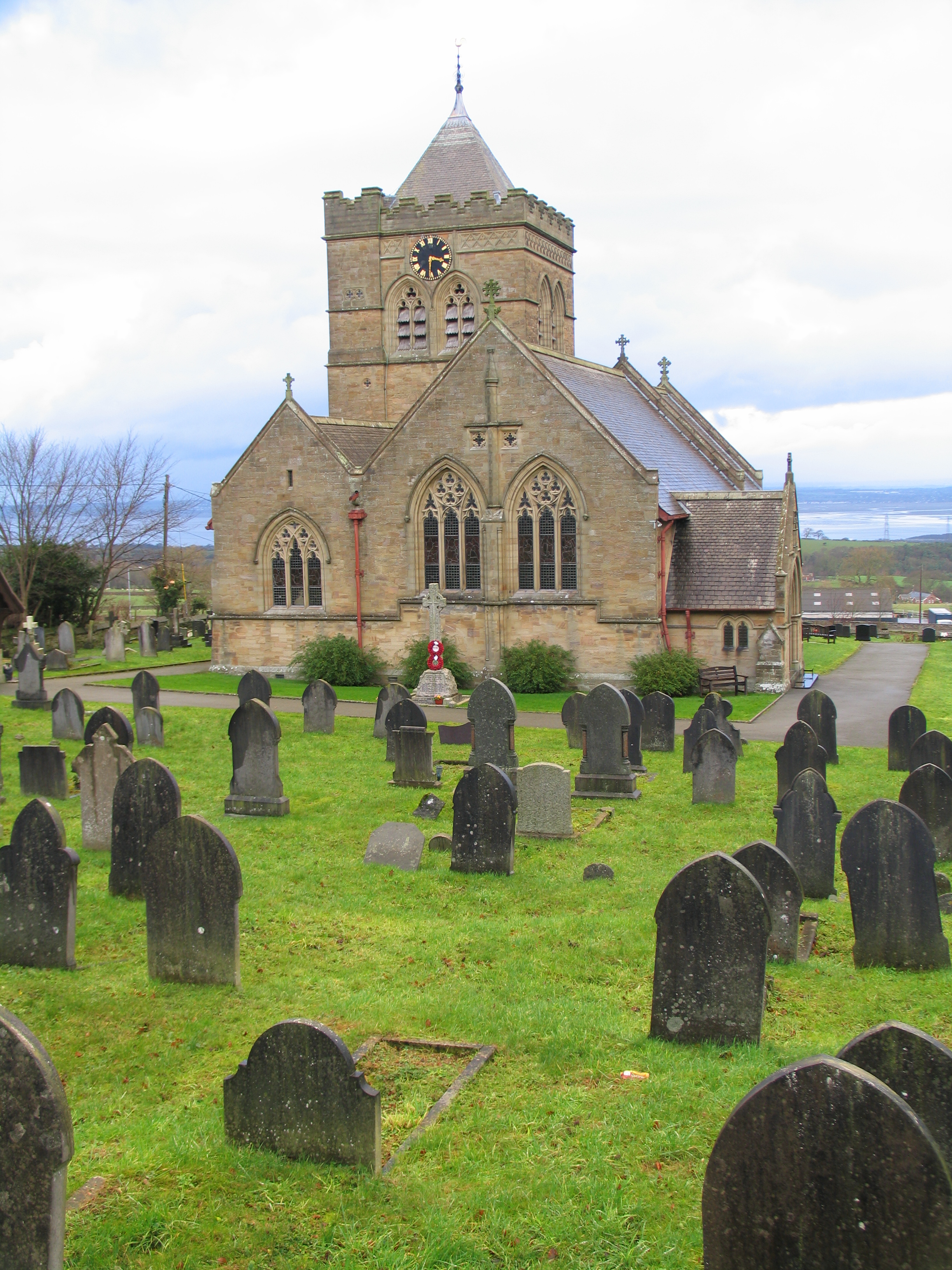
Hafod Wood Images

Images are sourced within 2km of 53.241142/-3.1822667 or Grid Reference SJ2172. Thanks to Geograph Open Source API. All images are credited.

Trig Point, Halkyn Mountain
Windmill, Halkyn Mountain
A carpet of snowdrops and a derelict cottage A carpet of snowdrops lead to a small derelict cottage sitting next to Afon Nant-y-Fflint. Just an entrance porch, two rooms with fireplaces and an extension to the side. The roof has long gone.
A carpet of snowdrops and a derelict cottage
A carpet of snowdrops lead to a small derelict cottage sitting next to Afon Nant-y-Fflint. Just an entrance porch, two rooms with fireplaces and an extension to the side. The roof has long gone.
Car Parking area, Halkyn An informal car parking area across the road from the Blue Bell Inn.
Car Parking area, Halkyn
An informal car parking area across the road from the Blue Bell Inn.
The Blue Bell Inn, Halkyn
Old Milepost by the A55, Halkyn Milepost by the A55, in parish of Halkyn (Flintshire District), Halkyn, on grass verge on Northeast side of the A55, below Pen Lan Lane overbridge to Plas Isaf.

Inscription reads:-
M F / CHESTER 14 0 :: COUNTY / OF / FLINT / 1892 :: M F / HOLYWELL 3 2

Grade II listed by Cadw.
Reference Number: 26212 <span class="nowrap"><a title="https://cadwpublic-api.azurewebsites.net/reports/listedbuilding/FullReport?lang=&id=26212" rel="nofollow ugc noopener" href="https://cadwpublic-api.azurewebsites.net/reports/listedbuilding/FullReport?lang=&id=26212">Link</a><img style="margin-left:2px;" alt="External link" title="External link - shift click to open in new window" src="https://s1.geograph.org.uk/img/external.png" width="10" height="10"/></span>

Surveyed

Milestone Society National ID: FLT_CHHO14
Old Milepost by the A55, Halkyn
Milepost by the A55, in parish of Halkyn (Flintshire District), Halkyn, on grass verge on Northeast side of the A55, below Pen Lan Lane overbridge to Plas Isaf. Inscription reads:- M F / CHESTER 14 0 :: COUNTY / OF / FLINT / 1892 :: M F / HOLYWELL 3 2 Grade II listed by Cadw. Reference Number: 26212 LinkExternal link Surveyed Milestone Society National ID: FLT_CHHO14
Cattle Grid on road to Babell
Above Pant-y-pwll Dwr No shortage of large limestone boulders to stop motorists driving along the track.
Above Pant-y-pwll Dwr
No shortage of large limestone boulders to stop motorists driving along the track.
Footpath on Halkyn Mountain What appears to be dog-racing in progress on Halkyn Mountain, but is just my assistants enjoying a breath of fresh air before a visit to the vet at Holywell. Tegid is off-piste in the bracken, and invisible.
Footpath on Halkyn Mountain
What appears to be dog-racing in progress on Halkyn Mountain, but is just my assistants enjoying a breath of fresh air before a visit to the vet at Holywell. Tegid is off-piste in the bracken, and invisible.
Minor road near Halkyn Mountain Looking north-westward.
Minor road near Halkyn Mountain
Looking north-westward.
Halkyn farmland Looking down over pasture land from Halkyn towards the Dee Estuary
Halkyn farmland
Looking down over pasture land from Halkyn towards the Dee Estuary
Halkyn Church The parish church at Halkyn (Helygain)
Halkyn Church
The parish church at Halkyn (Helygain)
Billy Jeans Billy Jeans Cafe and Truck stop, adjacent to the A55 at Pistyll, has been a source of sustenance to truckers and travellers alike for many years.
Billy Jeans
Billy Jeans Cafe and Truck stop, adjacent to the A55 at Pistyll, has been a source of sustenance to truckers and travellers alike for many years.
Cropland at Pentre Halkyn A view looking east-southeast over cropland at Pentre Halkyn. The observant may just spot Beeston Castle and the Peckforton Hills in the far distance at right, with Connahs Quay power station and the Flintshire Bridge in the sunshine at centre.
Cropland at Pentre Halkyn
A view looking east-southeast over cropland at Pentre Halkyn. The observant may just spot Beeston Castle and the Peckforton Hills in the far distance at right, with Connahs Quay power station and the Flintshire Bridge in the sunshine at centre.
Dee Estuary from Pentre Halkyn A view looking north over farmland at Pentre Halkyn. The A55 North Wales expressway can be seen at the end of the cropland, with the Dee Estuary and the Wirral beyond. The observant may be able to spot St. John's Tower on the Liverpool skyline in the far distance at centre.
Dee Estuary from Pentre Halkyn
A view looking north over farmland at Pentre Halkyn. The A55 North Wales expressway can be seen at the end of the cropland, with the Dee Estuary and the Wirral beyond. The observant may be able to spot St. John's Tower on the Liverpool skyline in the far distance at centre.
Farm near Bagillt, Flintshire Looked like a standard cattle/ dairy farm to me. I would have taken photos of the cattle, only they were a bit too inquisitive for my liking. It's surprising how quickly you can jump over a gate when you have to...
Farm near Bagillt, Flintshire
Looked like a standard cattle/ dairy farm to me. I would have taken photos of the cattle, only they were a bit too inquisitive for my liking. It's surprising how quickly you can jump over a gate when you have to...
Nant-y-Fflint The stream is nearly running dry in the mountain above Pentre Halkyn.
Nant-y-Fflint
The stream is nearly running dry in the mountain above Pentre Halkyn.
Sunken road, near Pentre Halkyn. The fields on each side must be at least 7 ft higher than the road.
Sunken road, near Pentre Halkyn.
The fields on each side must be at least 7 ft higher than the road.
Show me another place!

Hafod Wood is located at Grid Ref: SJ2172 (Lat: 53.241142, Lng: -3.1822667)

Unitary Authority: Flintshire

Police Authority: North Wales

What 3 Words

///inversely.ballroom.fingertip. Near Halkyn, Flintshire

Nearby Locations

Hafod Wood

Related Wikis

Halkyn

Halkyn (Welsh: Helygain [heˈləgain]; Flintshire Welsh: Lygian [ˈləgjan]) is a village and community in Flintshire, north-east Wales and situated between...

Pentre Halkyn

Pentre Halkyn (Welsh: Pentre Helygain) is a small village in Flintshire, Wales. It is situated approximately two miles from Holywell, and is off Junction...

Church of St Mary the Virgin, Halkyn

The Church of St Mary the Virgin, Halkyn is to the north of the village of Halkyn, Flintshire, Wales. It is an active Anglican parish church in the diocese...

Cornist Hall

Cornist Hall is a large house 1 mile (1.6 km) west-southwest of the town of Flint, Flintshire, Wales. It was the birthplace in 1746 of Thomas Totty, an...

Nearby Amenities

Located within 500m of 53.241142,-3.1822667
Power: tower
Lat/Long: 53.2417963/-3.1758133
Power: tower
Lat/Long: 53.2429026/-3.1815071
Power: tower
Lat/Long: 53.2419512/-3.1851242
Power: tower
Lat/Long: 53.2409924/-3.1889879
Power: pole
Lat/Long: 53.2435738/-3.1762549
Power: pole
Lat/Long: 53.243864/-3.1770442
Power: pole
Lat/Long: 53.2442981/-3.1783749
Power: pole
Lat/Long: 53.2447846/-3.1797847
Power: pole
Lat/Long: 53.2452621/-3.1812204
Power: pole
Lat/Long: 53.2455921/-3.1824806
Foot: yes
Ford: yes
Lat/Long: 53.2404411/-3.1771705
Barrier: stile
Foot: yes
Lat/Long: 53.2439656/-3.1773113
Barrier: stile
Foot: yes
Lat/Long: 53.2433698/-3.1771986
Barrier: stile
Foot: yes
Lat/Long: 53.239152/-3.1773641
Direction: 55
Generator Method: photovoltaic
Generator Output Electricity: yes
Generator Solar Modules: 11
Generator Source: solar
Generator Type: solar_photovoltaic_panel
Location: roof
Power: generator
Lat/Long: 53.2394552/-3.1856248
Direction: 55
Generator Method: photovoltaic
Generator Output Electricity: yes
Generator Solar Modules: 22
Generator Source: solar
Generator Type: solar_photovoltaic_panel
Location: roof
Power: generator
Lat/Long: 53.2394777/-3.1856556
Direction: 55
Generator Method: photovoltaic
Generator Output Electricity: yes
Generator Solar Modules: 12
Generator Source: solar
Generator Type: solar_photovoltaic_panel
Location: roof
Power: generator
Lat/Long: 53.2395058/-3.1856784
The data included in this document is from www.openstreetmap.org. The data is made available under ODbL.

Have you been to Hafod Wood?

Leave your review of Hafod Wood below (or comments, questions and feedback).