Nant-figillt Wood

Wood, Forest in Flintshire

Wales

Nant-figillt Wood

A541, Hendre The A541 runs for 26 miles, linking St Asaph with Wrexham. Its northern end starts at the crossroads in the middle of the village of Trefnant (just south of St Asaph). It ends at Wrexham, where it joins the B5101 road. On the way, it passes the town of Mold and also passes through many villages.
A541, Hendre Credit: David Dixon

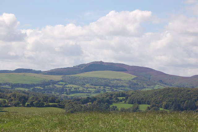
Nant-figillt Wood is a picturesque woodland located in Flintshire, Wales. Spanning an area of approximately 200 acres, it is a captivating natural gem that attracts visitors from near and far. The wood is situated near the village of Pantymwyn and is easily accessible by road.

The woodland is characterized by its dense and diverse vegetation, which includes a mix of deciduous and coniferous trees. Towering oak, beech, and ash trees dominate the landscape, providing a lush canopy that offers shade and shelter to a variety of wildlife. The forest floor is adorned with a rich carpet of bluebells, wood sorrel, and ferns, creating a tranquil and enchanting atmosphere.

Nant-figillt Wood is not only a haven for nature enthusiasts but also a paradise for birdwatchers. The wood is home to a wide array of bird species, including the elusive woodpecker and the melodious song thrush. Visitors can often catch glimpses of these colorful creatures flitting between the treetops or hear their melodious songs resonating through the woodland.

The wood features a network of well-maintained walking trails that allow visitors to explore its beauty at their own pace. These trails wind through the woodland, offering breathtaking views of the surrounding countryside and the nearby River Alyn. The peaceful ambiance and the harmonious sounds of nature make Nant-figillt Wood an ideal destination for those seeking a serene retreat or a peaceful respite from the hustle and bustle of daily life.

Overall, Nant-figillt Wood is a captivating woodland that showcases the natural beauty and biodiversity of Flintshire. Whether it's a leisurely stroll or an immersive birdwatching experience, this enchanting forest offers a unique and unforgettable experience for all who visit.

If you have any feedback on the listing, please let us know in the comments section below.

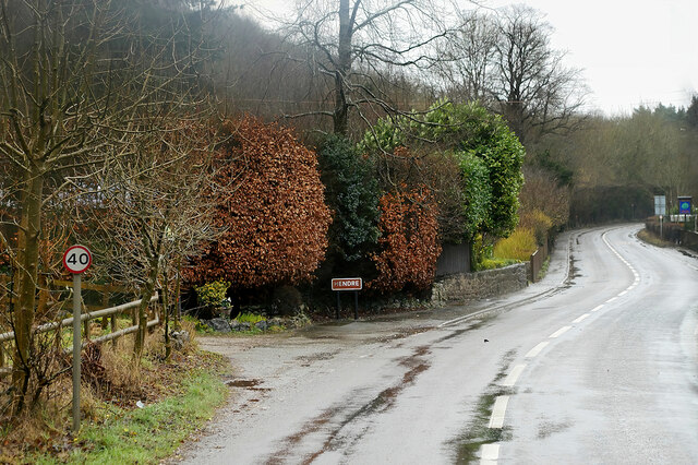
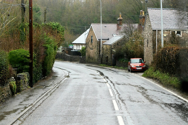
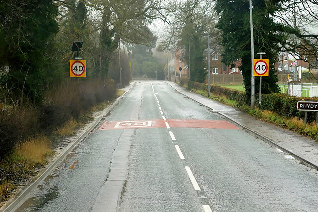
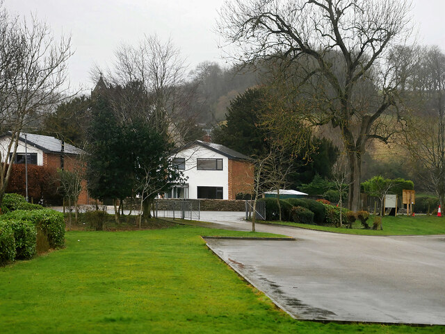
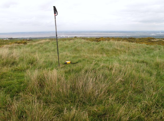
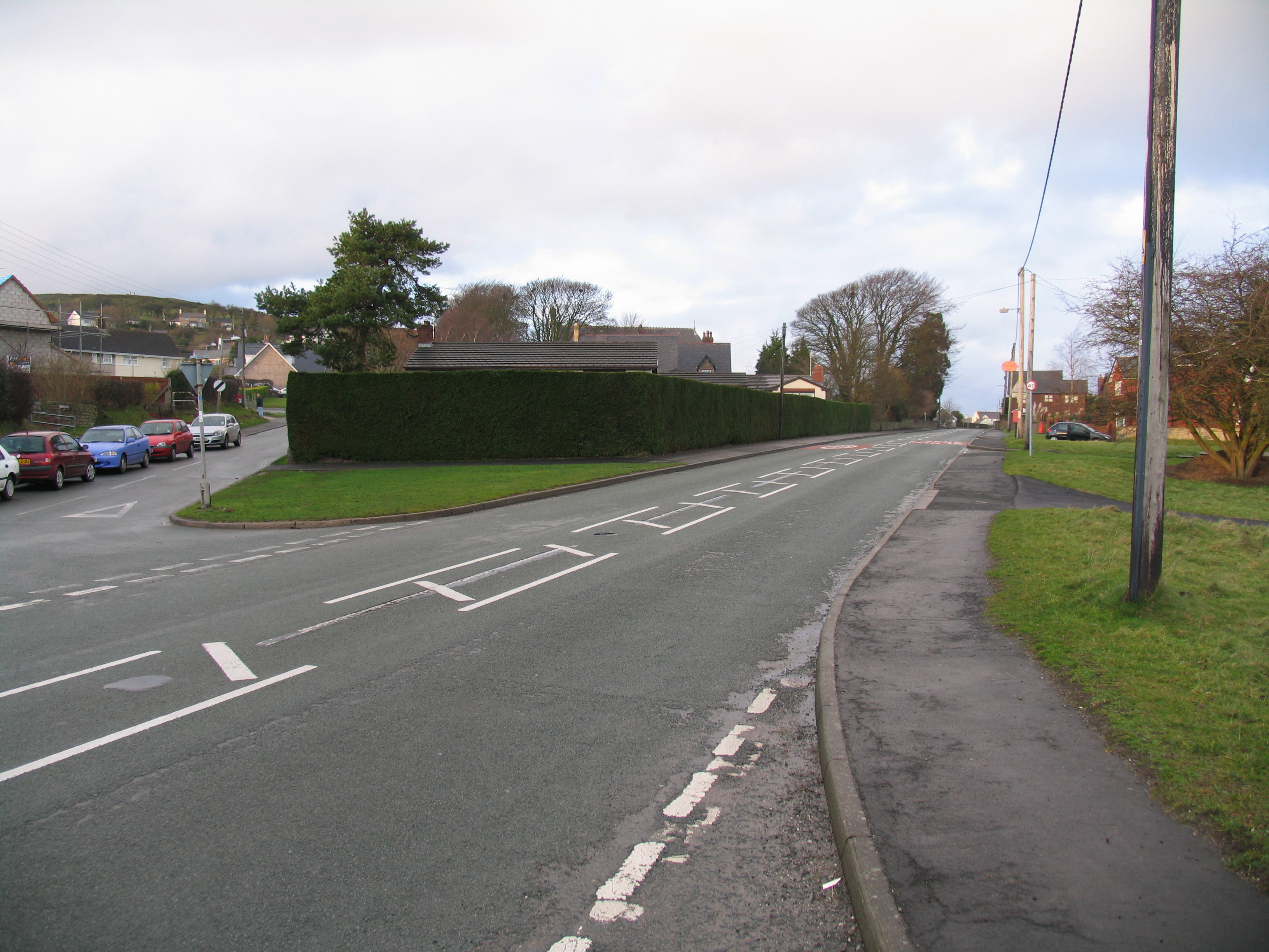
Nant-figillt Wood Images

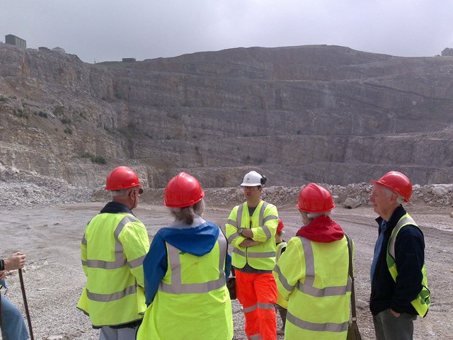
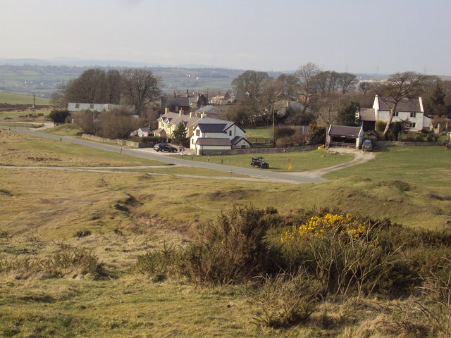
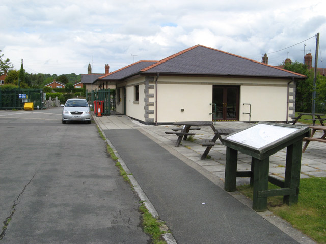
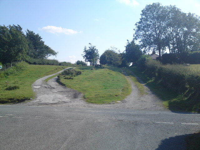
Images are sourced within 2km of 53.207513/-3.1957597 or Grid Reference SJ2068. Thanks to Geograph Open Source API. All images are credited.

A541, Hendre The A541 runs for 26 miles, linking St Asaph with Wrexham. Its northern end starts at the crossroads in the middle of the village of Trefnant (just south of St Asaph). It ends at Wrexham, where it joins the B5101 road. On the way, it passes the town of Mold and also passes through many villages.
A541, Hendre
The A541 runs for 26 miles, linking St Asaph with Wrexham. Its northern end starts at the crossroads in the middle of the village of Trefnant (just south of St Asaph). It ends at Wrexham, where it joins the B5101 road. On the way, it passes the town of Mold and also passes through many villages.
Hendre, A541 The A541 runs for 26 miles, linking St Asaph with Wrexham. Its northern end starts at the crossroads in the middle of the village of Trefnant (just south of St Asaph). It ends at Wrexham, where it joins the B5101 road. On the way, it passes the town of Mold and also passes through many villages.
Hendre, A541
The A541 runs for 26 miles, linking St Asaph with Wrexham. Its northern end starts at the crossroads in the middle of the village of Trefnant (just south of St Asaph). It ends at Wrexham, where it joins the B5101 road. On the way, it passes the town of Mold and also passes through many villages.
A541, Rhydymwyn The A541 runs for 26 miles, linking St Asaph with Wrexham. Its northern end starts at the crossroads in the middle of the village of Trefnant (just south of St Asaph). It ends at Wrexham, where it joins the B5101 road. On the way, it passes the town of Mold and also passes through many villages.
A541, Rhydymwyn
The A541 runs for 26 miles, linking St Asaph with Wrexham. Its northern end starts at the crossroads in the middle of the village of Trefnant (just south of St Asaph). It ends at Wrexham, where it joins the B5101 road. On the way, it passes the town of Mold and also passes through many villages.
Rhydymwyn Rhydymwyn is a village located in the upper Alyn valley in Flintshire. Once a district of Mold, it was recognised as a separate parish from 1865. 

The village takes its placename from the ford across the River Alyn (now replaced by a small iron bridge); the name in Welsh means 'Ford of the Ore' (<span class="nowrap"><a title="https://en.wikipedia.org/wiki/Rhydymwyn" rel="nofollow ugc noopener" href="https://en.wikipedia.org/wiki/Rhydymwyn">Link</a><img style="margin-left:2px;" alt="External link" title="External link - shift click to open in new window" src="https://s1.geograph.org.uk/img/external.png" width="10" height="10"/></span> Wikipedia).
Rhydymwyn
Rhydymwyn is a village located in the upper Alyn valley in Flintshire. Once a district of Mold, it was recognised as a separate parish from 1865. The village takes its placename from the ford across the River Alyn (now replaced by a small iron bridge); the name in Welsh means 'Ford of the Ore' (LinkExternal link Wikipedia).
Pant Quarry, Halkyn
Pant Quarry, Halkyn
Ramparts and Ditch, Moel y Gaer, Rhosesmor Iron Age hillfort.
Ramparts and Ditch, Moel y Gaer, Rhosesmor
Iron Age hillfort.
Rampart, Moel y Gaer
Pant-y-Ffrith, Berth Ddu Developed from miners cottages.
Pant-y-Ffrith, Berth Ddu
Developed from miners cottages.
Pant Quarry, Halkyn The last quarry visit in the Pant Quarry.  There is a nice view of the limestone strata in the background.
Pant Quarry, Halkyn
The last quarry visit in the Pant Quarry. There is a nice view of the limestone strata in the background.
Pant Quarry, Halkyn Down into the hole!  Taken during the last quarry visit planned at the Pant
Pant Quarry, Halkyn
Down into the hole! Taken during the last quarry visit planned at the Pant
Moel y Crio, Flintshire View looking down over the hamlet of Moel y Crio towards Halkyn Mountain
Moel y Crio, Flintshire
View looking down over the hamlet of Moel y Crio towards Halkyn Mountain
17 Nant Alyn Road The new building at the Rhydymwyn Valley nature reserve which is headquarters to the North East Wales Wildlife.
17 Nant Alyn Road
The new building at the Rhydymwyn Valley nature reserve which is headquarters to the North East Wales Wildlife.
The old coach road looking South This is a view of the old coach road (now a track) in Halkyn heading South towards Rhosesmor.  The house on the right by the tree is the old toll house.
The old coach road looking South
This is a view of the old coach road (now a track) in Halkyn heading South towards Rhosesmor. The house on the right by the tree is the old toll house.
Moel Famau and Clwyd range from Rhosesmor
Engine House at Taylor's Shaft, Hendre Lead Mines Engine House built during WW1 to revive the lead mines, and another similar building. The brick chimney is very tall.
Engine House at Taylor's Shaft, Hendre Lead Mines
Engine House built during WW1 to revive the lead mines, and another similar building. The brick chimney is very tall.
Engine House at Taylor's Shaft, Hendre Lead Mines WW1 lead mining buildings taken from the footbridge over the stream
Engine House at Taylor's Shaft, Hendre Lead Mines
WW1 lead mining buildings taken from the footbridge over the stream
Rhydymwyn Station Site of the disused station at Rhydymwyn on the former railway line between Mold and Denbigh.
Rhydymwyn Station
Site of the disused station at Rhydymwyn on the former railway line between Mold and Denbigh.
Moel y Gaer Parked to NNE and used one of many paths to walk around summit rampards, then onto summit covered reservoir before finding wall of hollowed tumulus. Great views today.
Name: Moel y Gaer
Hill number: 5164
Height: 303.7m / 996ft
Area: 30C: Llandudno to Wrexham
Class: Hu
Grid ref: SJ 21068 69081
Summit feature: wall of hollowed tumulus
Drop: 126m
Col: 178m  SJ106750
Moel y Gaer
Parked to NNE and used one of many paths to walk around summit rampards, then onto summit covered reservoir before finding wall of hollowed tumulus. Great views today. Name: Moel y Gaer Hill number: 5164 Height: 303.7m / 996ft Area: 30C: Llandudno to Wrexham Class: Hu Grid ref: SJ 21068 69081 Summit feature: wall of hollowed tumulus Drop: 126m Col: 178m SJ106750
Show me another place!

Nant-figillt Wood is located at Grid Ref: SJ2068 (Lat: 53.207513, Lng: -3.1957597)

Unitary Authority: Flintshire

Police Authority: North Wales

What 3 Words

///chins.variety.elbowing. Near Halkyn, Flintshire

Related Wikis

Moel y Gaer, Rhosesmor

Moel y Gaer (Welsh for "bald hill of the fortress") is an Iron Age hillfort located on a summit at the southern end of Halkyn Mountain, overlooking the...

Rhosesmor

Rhosesmor is a small village near Mold, Flintshire, in north-east Wales. The village lies near the parishes of Halkyn and Rhes-y-cae. The hamlet of Wern...

Rhydymwyn F.C.

Rhydymwyn F.C. is a football club from Rhydymwyn, Wales. They play in the North East Wales Football League in the tier five Championship Division. Their...

Cilcain Hall

Cilcain Hall is a country house 2 miles (3 km) north-northeast of the village of Cilcain, Flintshire, Wales (grid reference SJ185683). It was built in...

Rhydymwyn railway station

Rhydymwyn railway station was a station in Rhydymwyn, Flintshire, Wales. The station was opened on 6 September 1869, closed to passengers on 30 April 1962...
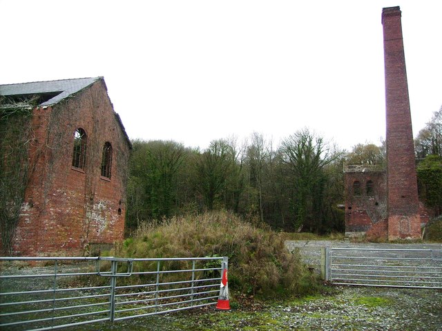
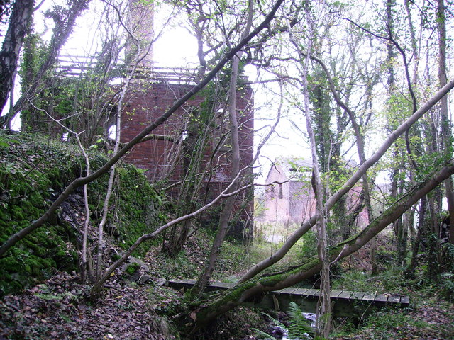
Milwr Tunnel

The Milwr Tunnel is a mine drainage adit running some 10 miles from the hamlet of Cadole near Loggerheads, Denbighshire to Bagillt on the Dee Estuary in...

Halkyn Castle

Halkyn Castle (Welsh: Castell Helygain) is a mansion house in the village of Halkyn, Flintshire, Wales. The house, with its associated stable block, is...

M. S. Factory, Valley

The M.S. (Ministry of Supply) Factory, Valley was a Second World War site in Rhydymwyn, Flintshire, Wales, that was used for the storage and production...

Nearby Amenities

Located within 500m of 53.207513,-3.1957597
Power: pole
Lat/Long: 53.2048652/-3.1899185
Power: pole
Lat/Long: 53.2053841/-3.1903611
Power: pole
Lat/Long: 53.2061452/-3.1916072
Power: pole
Lat/Long: 53.2068719/-3.1927015
Power: pole
Lat/Long: 53.2077858/-3.1941188
Power: pole
Lat/Long: 53.2086163/-3.1941403
Power: pole
Lat/Long: 53.2094227/-3.1941618
Power: pole
Lat/Long: 53.2103367/-3.1950308
Power: pole
Lat/Long: 53.2112121/-3.1957845
Power: pole
Lat/Long: 53.2100112/-3.1896493
Power: pole
Lat/Long: 53.2095791/-3.1893623
Power: pole
Lat/Long: 53.2091084/-3.1895689
Direction: 215
Generator Method: photovoltaic
Generator Output Electricity: yes
Generator Solar Modules: 12
Generator Source: solar
Generator Type: solar_photovoltaic_panel
Location: roof
Power: generator
Lat/Long: 53.2079816/-3.1892796
The data included in this document is from www.openstreetmap.org. The data is made available under ODbL.

Have you been to Nant-figillt Wood?

Leave your review of Nant-figillt Wood below (or comments, questions and feedback).