Broniarth Wood

Wood, Forest in Montgomeryshire

Wales

Broniarth Wood

Cwm Farm Pasture at Cwm Farm.
Cwm Farm Credit: Peter McDermott

The requested URL returned error: 429 Too Many Requests

If you have any feedback on the listing, please let us know in the comments section below.

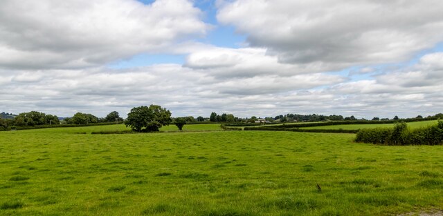
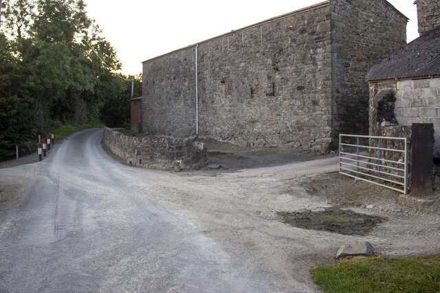
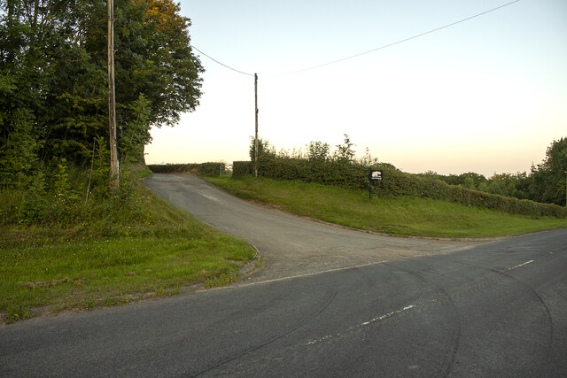
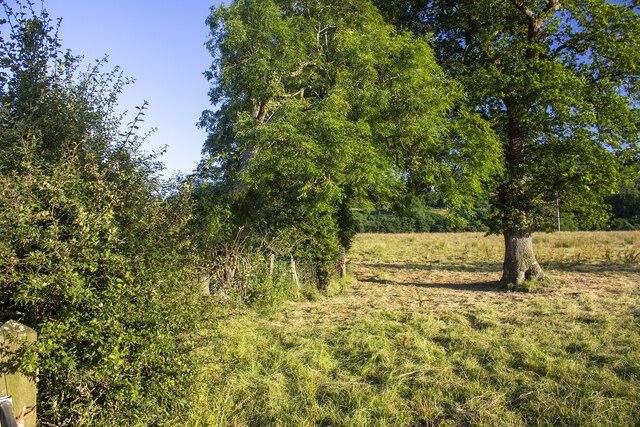
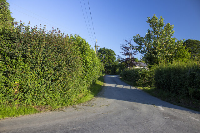
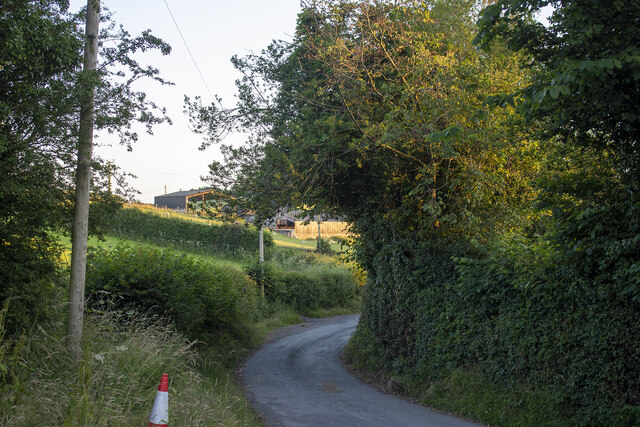
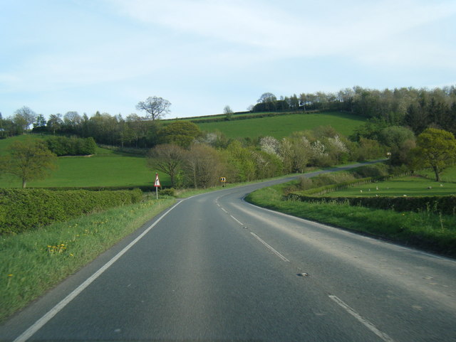
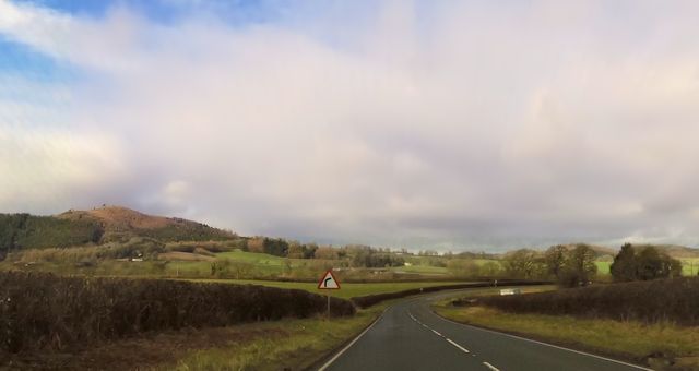
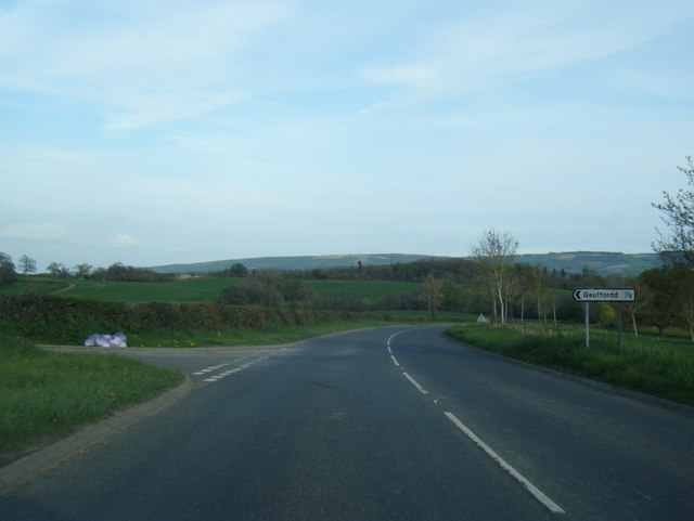
Broniarth Wood Images

Images are sourced within 2km of 52.711953/-3.1822649 or Grid Reference SJ2013. Thanks to Geograph Open Source API. All images are credited.

Cwm Farm Pasture at Cwm Farm.
Cwm Farm
Pasture at Cwm Farm.
Cwm Farm Vernacular farm buildings at Cwm Farm
Cwm Farm
Vernacular farm buildings at Cwm Farm
Road to Broniarth Road to Broniarth from A490
Road to Broniarth
Road to Broniarth from A490
Hendre-Hen Farm Modern farm buildings at Hendre-Hen Farm
Hendre-Hen Farm
Modern farm buildings at Hendre-Hen Farm
Hedgerow and field Hedgerow and in-field tree near Bryn-mawr
Hedgerow and field
Hedgerow and in-field tree near Bryn-mawr
Gwreiddyn Lane Farmstead near Cefn Broniarth
Gwreiddyn Lane
Farmstead near Cefn Broniarth
Field and woodland Field and woodland near Gaer Fawr Wood
Field and woodland
Field and woodland near Gaer Fawr Wood
Gwreiddyn Farm Modern farm buildings at Gwreiddyn Farm
Gwreiddyn Farm
Modern farm buildings at Gwreiddyn Farm
The Lane farmstead Vernacular farm building at The Lane
The Lane farmstead
Vernacular farm building at The Lane
A490 heading south
A490 heading south
A490 southbound near Brynbuarth
A490 southbound near Brithdir Coch
A490 approaching Pentre'r Beirdd
Approaching sharp bend At Brightwater Lakes entrance
Approaching sharp bend
At Brightwater Lakes entrance
A490 near Pwll-y-Hywaid
Ordnance Survey Cut Mark This OS cut mark can be found on the brick building at Pentrago Farm. It marks a point 183.488m above mean sea level.
Ordnance Survey Cut Mark
This OS cut mark can be found on the brick building at Pentrago Farm. It marks a point 183.488m above mean sea level.
Across the potatoes to Trawscoed Woods
A490 north of Broniarth Dingle
Show me another place!

Broniarth Wood is located at Grid Ref: SJ2013 (Lat: 52.711953, Lng: -3.1822649)

Unitary Authority: Powys

Police Authority: Dyfed Powys

What 3 Words

///agreeing.fails.houseboat. Near Guilsfield, Powys

Nearby Locations

Broniarth Wood

Related Wikis

Garth (Guilsfield)

Garth was an important early gothic revival house in the township of Garth in Guilsfield in Montgomeryshire. In the 18th century it became the home of...

Guilsfield

Guilsfield (Welsh: Cegidfa, lit. "Hemlock-field") is a village and local government community in Montgomeryshire, Powys, Wales. It lies beside Guilsfield...

Allt-y-Main

Allt-y-Main is a hamlet in the community of Meifod, Powys, Wales, which is 86 miles (139 km) from Cardiff and 156 miles (252 km) from London. == References... ==

Burgedin

Burgedin is a village in Powys, Wales. The Montgomery Canal passes through the village. == External links == Photos of Burgedin and surrounding area on...

Nearby Amenities

Located within 500m of 52.711953,-3.1822649
The data included in this document is from www.openstreetmap.org. The data is made available under ODbL.

Have you been to Broniarth Wood?

Leave your review of Broniarth Wood below (or comments, questions and feedback).