Big Wood
Wood, Forest in Montgomeryshire
Wales
Big Wood

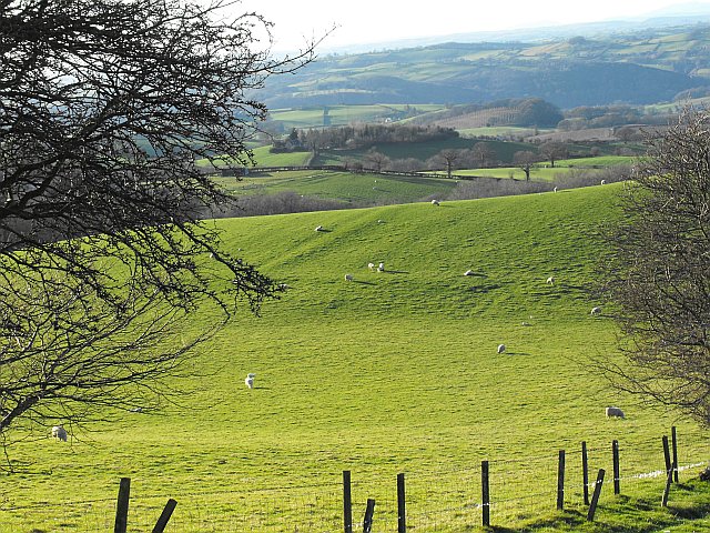
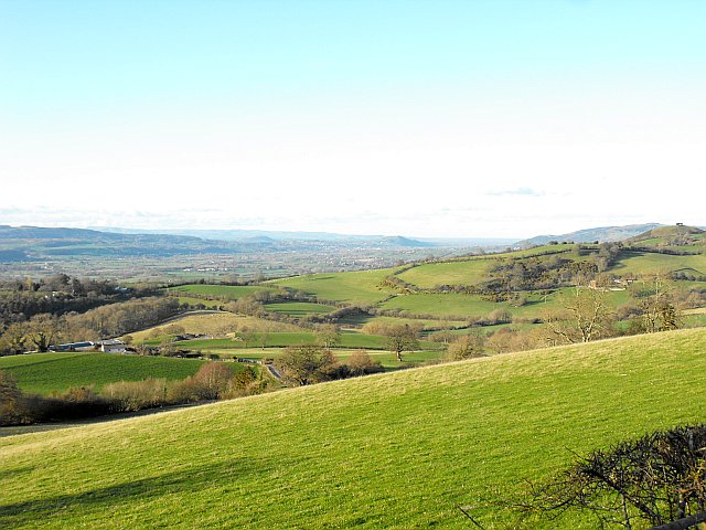
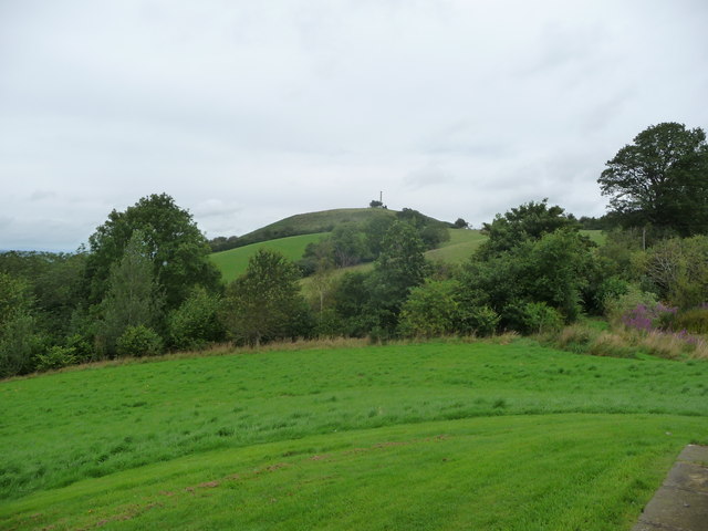
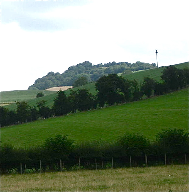
Big Wood, Montgomeryshire, also known simply as Big Wood or Big Forest, is a large woodland located in the county of Montgomeryshire, Wales. Covering an area of approximately 1,500 acres, this expansive forest is a significant natural asset in the region.
The wood is primarily made up of dense, mature deciduous trees, with a variety of species including oak, beech, ash, and maple. The canopy provided by these towering trees creates a cool and shaded environment, making it an ideal habitat for a diverse range of flora and fauna.
Walking through Big Wood, visitors are greeted with a tranquil and serene atmosphere. The forest floor is carpeted with a thick layer of fallen leaves, making for a pleasant and quiet walk. The woodland is crisscrossed with well-maintained footpaths, allowing visitors to explore the area at their own pace.
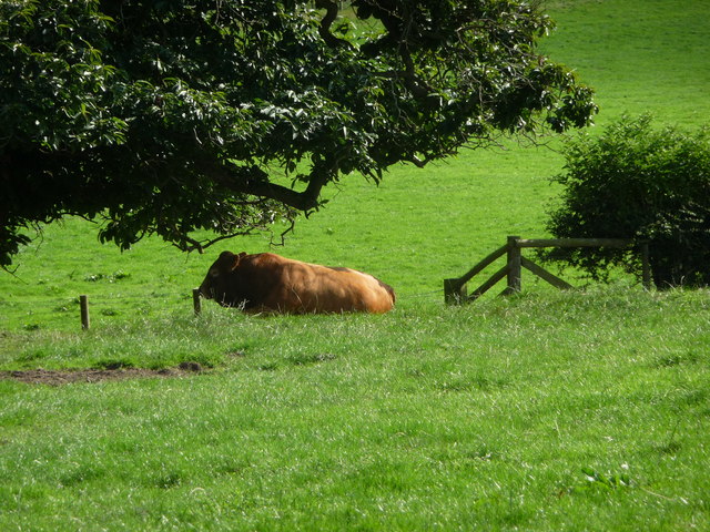
Wildlife enthusiasts will find plenty to admire in Big Wood. The forest is home to a wide array of wildlife, including deer, badgers, foxes, and a rich variety of bird species. Explorers may also come across smaller creatures such as squirrels, rabbits, and hedgehogs.
Big Wood is a popular destination for outdoor activities such as hiking, birdwatching, and nature photography. The forest provides an opportunity for visitors to escape the hustle and bustle of daily life and immerse themselves in the beauty of nature. With its breathtaking scenery and abundant wildlife, Big Wood is a true gem in the heart of Montgomeryshire.
If you have any feedback on the listing, please let us know in the comments section below.
Big Wood Images
Images are sourced within 2km of 52.544664/-3.1794741 or Grid Reference SO2094. Thanks to Geograph Open Source API. All images are credited.


Big Wood is located at Grid Ref: SO2094 (Lat: 52.544664, Lng: -3.1794741)
Unitary Authority: Powys
Police Authority: Dyfed Powys
What 3 Words
///precluded.shallower.circulate. Near Newtown, Powys
Nearby Locations
Related Wikis
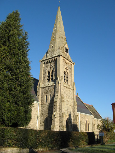
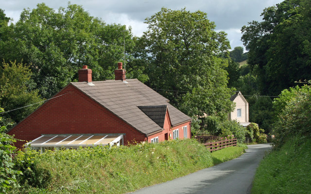
Llandyssil
Llandyssil is a village in the community of Abermule with Llandyssil, in Powys, Wales, in the traditional county of Montgomeryshire. It is about two miles...

Montgomeryshire County War Memorial
The Montgomeryshire County War Memorial, located on the summit of Town Hill, south-west of the town of Montgomery, stands tribute to commemorate those...
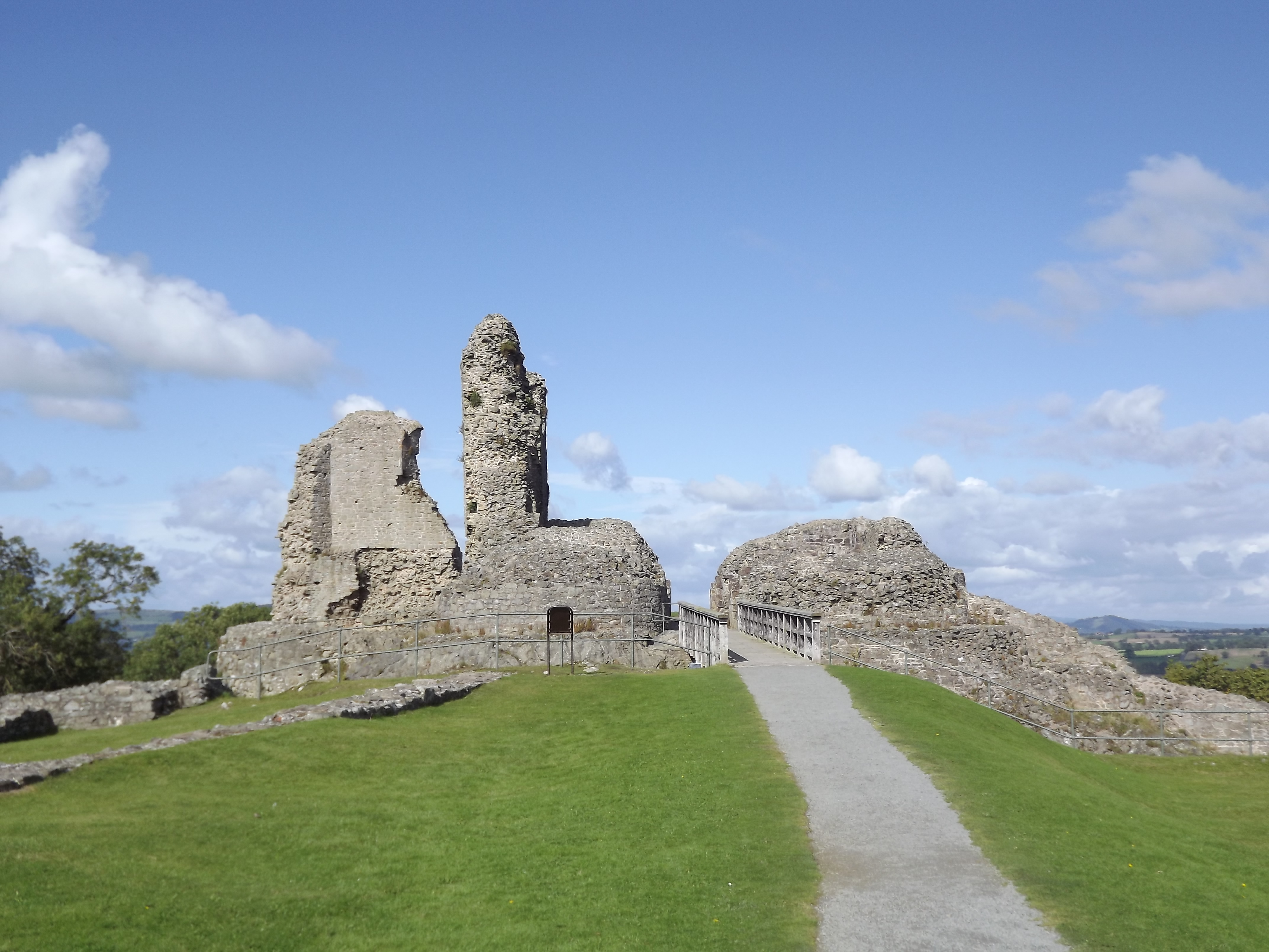
Ffridd Faldwyn, Montgomery
Ffridd Faldwyn is an Iron Age hillfort in northern Powys, in the former county of Montgomeryshire, It is sited on a prominent hill west of Montgomery,...
Abermule with Llandyssil
Abermule with Llandyssil, formerly just Llandyssil (Welsh: Llandysul), is a community in Powys (historically Montgomeryshire), Wales, including the villages...

Montgomery Town Hall
Montgomery Town Hall (Welsh: Neuadd y Dref Trefaldwyn) is a municipal building in Broad Street, Montgomery, Wales. It served as the meeting place of Montgomery...

The Old Bell Museum
The Old Bell Museum is a former 16th-century inn, converted into a museum and run by volunteers from the Montgomery Civic Society of Powys. The half-timbered...

Relief of Montgomery Castle
The Battle of Montgomery took place during the First English Civil War of 1642–1646. On 17 September 1644, a Parliamentarian force commanded by Sir John...
Montgomery Castle
Montgomery Castle (Welsh: Castell Trefaldwyn) is a stone-built castle looking over the town of Montgomery in Powys, Mid Wales. It is one of many Norman...
Nearby Amenities
Located within 500m of 52.544664,-3.1794741Have you been to Big Wood?
Leave your review of Big Wood below (or comments, questions and feedback).