Coed Graig
Wood, Forest in Flintshire
Wales
Coed Graig
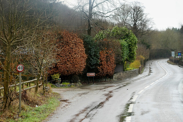
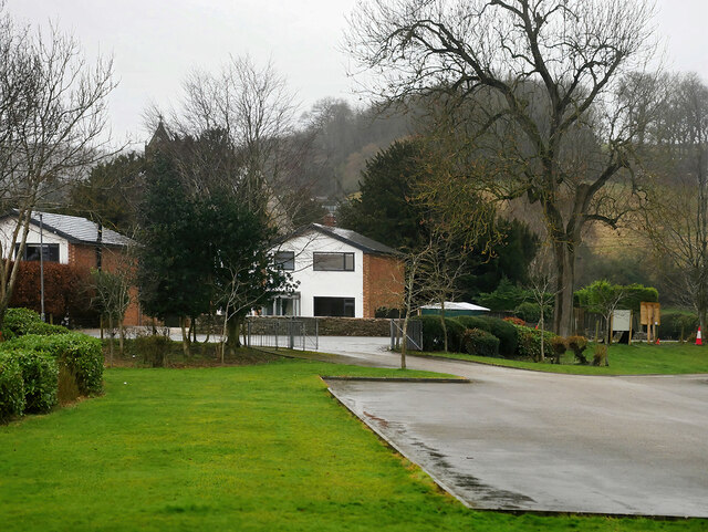
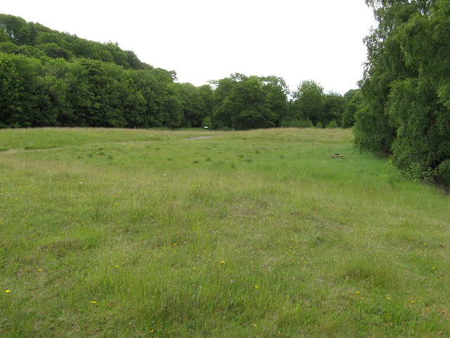
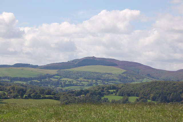
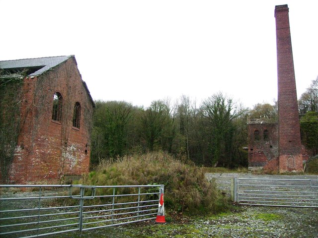
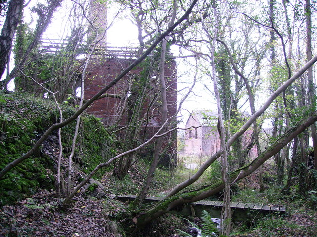
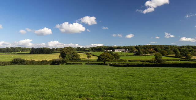
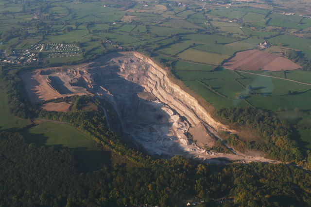
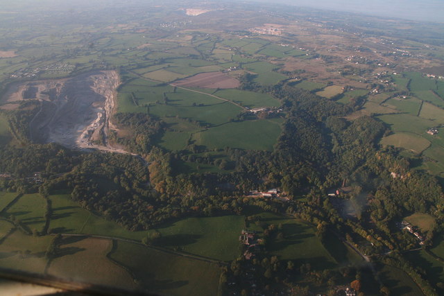
Coed Graig, located in Flintshire, Wales, is a picturesque woodland area known for its natural beauty and serene atmosphere. Covering a vast expanse, the forest is an idyllic retreat for nature lovers and outdoor enthusiasts alike. Coed Graig is nestled within the Clwydian Range and Dee Valley Area of Outstanding Natural Beauty, adding to its allure and popularity among visitors.
The woodland is characterized by its diverse range of tree species, including oak, beech, and birch. These trees create a dense canopy that provides shelter and habitat for a variety of wildlife, making it a haven for birdwatchers and wildlife enthusiasts. Visitors can spot numerous bird species, such as woodpeckers and owls, as well as small mammals like squirrels and badgers.
Coed Graig offers a network of well-maintained walking trails, allowing visitors to explore the forest at their own pace. The paths meander through the woodland, offering stunning views of the surrounding hills and valleys. One of the most popular trails is the Coed Graig Circular Walk, which takes visitors on a journey through the heart of the forest, passing by tranquil streams and hidden groves.
In addition to its natural beauty, Coed Graig also has historical significance. The forest has remnants of ancient settlements and burial sites, providing a glimpse into the area's rich history. Archaeological enthusiasts can explore these historical sites and learn about the people who once inhabited the area.
Overall, Coed Graig is a captivating woodland retreat that offers a perfect blend of natural beauty, wildlife, and historical significance. Whether one seeks adventure, tranquility, or a deeper connection with nature, Coed Graig has something to offer for everyone.
If you have any feedback on the listing, please let us know in the comments section below.
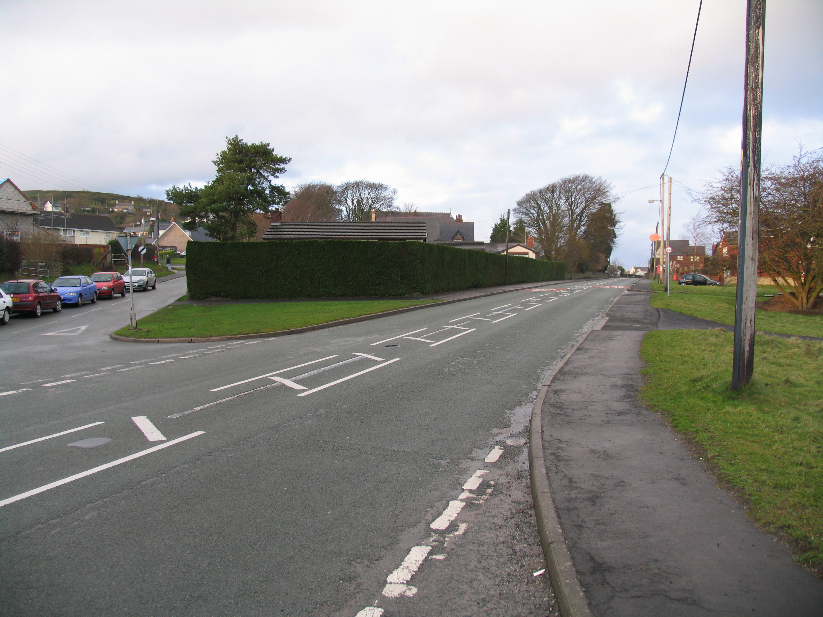
Coed Graig Images
Images are sourced within 2km of 53.192719/-3.1973387 or Grid Reference SJ2066. Thanks to Geograph Open Source API. All images are credited.


Coed Graig is located at Grid Ref: SJ2066 (Lat: 53.192719, Lng: -3.1973387)
Unitary Authority: Flintshire
Police Authority: North Wales
What 3 Words
///nerves.package.mend. Near Halkyn, Flintshire
Nearby Locations
Related Wikis

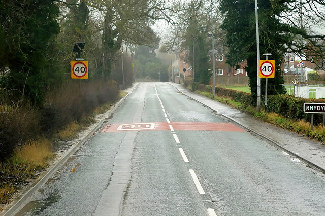
Rhydymwyn F.C.
Rhydymwyn F.C. is a football club from Rhydymwyn, Wales. They play in the North East Wales Football League in the tier five Championship Division. Their...

Rhydymwyn railway station
Rhydymwyn railway station was a station in Rhydymwyn, Flintshire, Wales. The station was opened on 6 September 1869, closed to passengers on 30 April 1962...
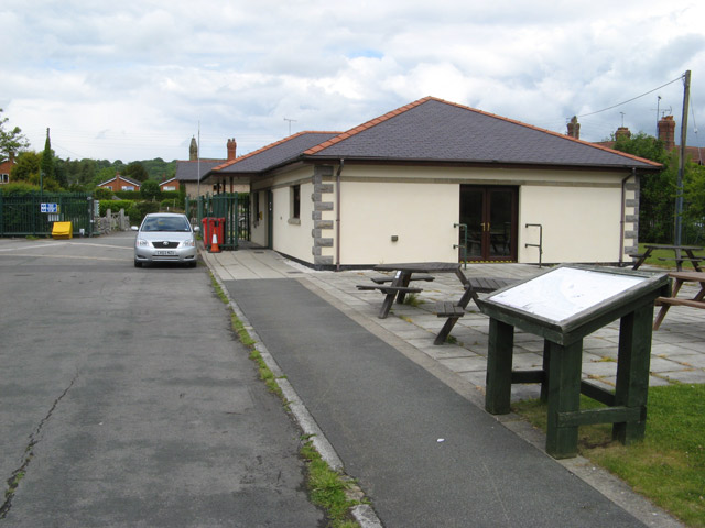
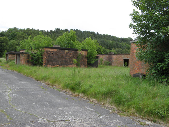
M. S. Factory, Valley
The M.S. (Ministry of Supply) Factory, Valley was a Second World War site in Rhydymwyn, Flintshire, Wales, that was used for the storage and production...
Ogof Hesp Alyn
Ogof Hesp Alyn (Welsh for: Dry Alyn Cave) was discovered by North Wales Caving Club in 1973 in the Alyn Gorge near Cilcain, Flintshire, Wales. Reaching...
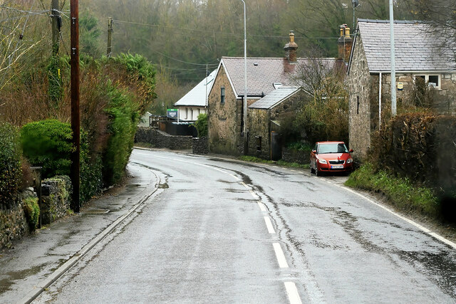
Rhydymwyn
Rhydymwyn (Welsh for 'Ford of the Ore') is a village in Flintshire, Wales, located in the upper Alyn valley. Once a district of Mold, it was recognised...
Ogof Hen Ffynhonnau
Ogof Hen Ffynhonnau (sometimes known in English as Poacher's Cave) lies in the Alyn Gorge in Flintshire, Wales close to Ogof Hesp Alyn. It was discovered...
Ogof Nadolig
Ogof Nadolig is a cave in the Alyn Gorge near Cilcain, Flintshire, Wales. It is mostly crawling, 300 metres (980 ft) long, and ends with a shaft up to...
Rhosesmor
Rhosesmor is a small village near Mold, Flintshire, in north-east Wales. The village lies near the parishes of Halkyn and Rhes-y-cae. The hamlet of Wern...
Related Videos
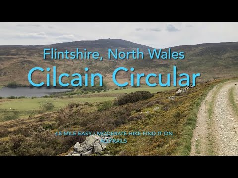
Cilcain Circular Hike , Flintshire , North Wales.
Cilcain Circular Hike. Can be found on AllTrails Completed in April 2022. 4.5 miles. Nice hike, mix of road , bridle path, hill walking ...
7 minutes of pure RELAXATION. Dog walking in North Wales.
Sit back and relax on this 7 minute dog walk at Coed y Felin in North Wales #dogwalk #doglover #northwales.
Camping North Wales - Fron Farm
Camping North Wales - Fron Farm.
Spring into Mindfulness at Cilcain!
Half-day Mindful Walk in the Clwydians starting from Cilcain. For more information/booking, visit: ...
Nearby Amenities
Located within 500m of 53.192719,-3.1973387Have you been to Coed Graig?
Leave your review of Coed Graig below (or comments, questions and feedback).