Blackpool Woods

Wood, Forest in Montgomeryshire

Wales

Blackpool Woods

View from Glyndwr's Way by Welshpool Golf Club
View from Glyndwr's Way by Welshpool Golf Club Credit: Dave Kelly

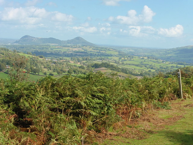
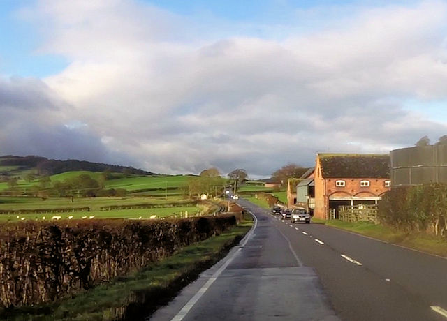
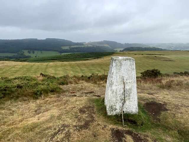
Blackpool Woods is a serene woodland located in Montgomeryshire, a county in Wales, United Kingdom. Covering an area of approximately 100 hectares, this enchanting forest is a natural haven that attracts nature enthusiasts, hikers, and birdwatchers alike.

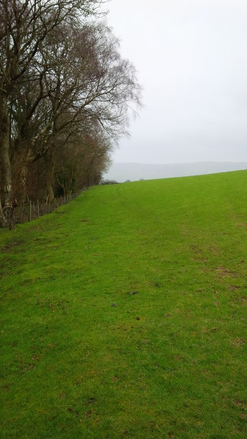
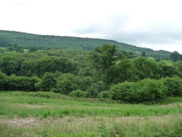
The woodland is characterized by a diverse range of native tree species, including oak, birch, beech, and pine, which create a picturesque and vibrant landscape throughout the year. The forest floor is adorned with an array of wildflowers, ferns, and mosses, adding to the area's natural beauty.

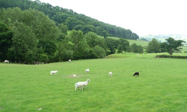
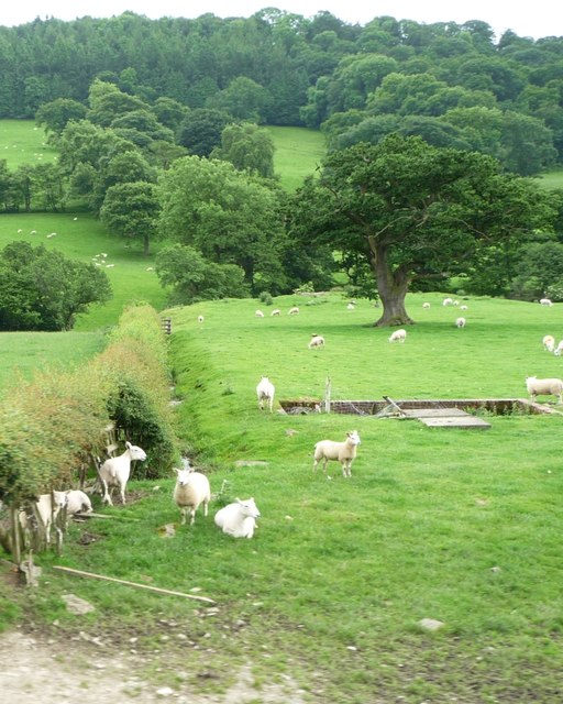
Walking through Blackpool Woods is a sensory experience, with the sound of birdsong filling the air and the scent of fresh pine wafting through the trees. The forest is home to a variety of wildlife, including deer, foxes, badgers, and numerous bird species. Keen observers may also spot rare and elusive creatures such as red squirrels and otters.

The woodland offers numerous walking trails that cater to different fitness levels and interests. These trails meander through the forest, leading visitors to discover hidden glens, babbling brooks, and picturesque viewpoints. Along the way, interpretive signs provide information about the flora, fauna, and history of the area, enhancing the educational value of the experience.

Blackpool Woods is a popular destination for families, who can enjoy picnics, forest games, and wildlife spotting. The forest also serves as a valuable educational resource, with local schools frequently organizing nature walks and outdoor learning sessions.

Overall, Blackpool Woods is a captivating woodland that offers a peaceful escape into nature, making it an ideal destination for outdoor enthusiasts and those seeking tranquility in the heart of Montgomeryshire.

If you have any feedback on the listing, please let us know in the comments section below.

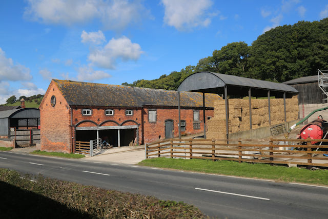
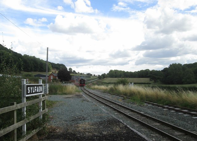
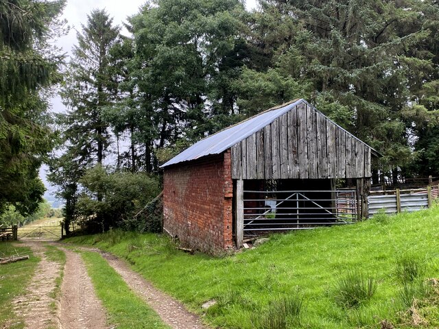
Blackpool Woods Images

Images are sourced within 2km of 52.651389/-3.1883169 or Grid Reference SJ1906. Thanks to Geograph Open Source API. All images are credited.

View from Glyndwr's Way by Welshpool Golf Club
Glyndŵr's Way The footpath here doesn't seem to be used much as it is not visible on the ground.
Glyndŵr's Way
The footpath here doesn't seem to be used much as it is not visible on the ground.
Entrance to Golfa Farm and Hall from A458
Cwm Lane junction from A458
Lower Sylfaen Farm from A458
Blackpool Woods Along Nant-y-caws Brook, below the railway line.
Blackpool Woods
Along Nant-y-caws Brook, below the railway line.
Woodland along Cwm Lane The eastern end of Sylfaen Dingle.
Woodland along Cwm Lane
The eastern end of Sylfaen Dingle.
Localised flood damage near Barn Farm A small hillside stream has flooded onto the A458 and then burst into the field below, washing away the soil.
Localised flood damage near Barn Farm
A small hillside stream has flooded onto the A458 and then burst into the field below, washing away the soil.
Sheep pasture at Lower Sylfaen Between the railway line and Sylfaen Brook. About 175 metres above sea level.
Sheep pasture at Lower Sylfaen
Between the railway line and Sylfaen Brook. About 175 metres above sea level.
Sheep pasture below Goetre Wood, Lower Sylfaen In the valley of Sylfaen Brook.
Sheep pasture below Goetre Wood, Lower Sylfaen
In the valley of Sylfaen Brook.
Lower Sylfaen Farm From the light railway
Lower Sylfaen Farm
From the light railway
Part of the Dingle Nurseries Shoppers decide which plants to purchase today.
Part of the Dingle Nurseries
Shoppers decide which plants to purchase today.
Sylfaen Halt, Welshpool and Llanfair Light Railway
Old Milestone by the A458, near Barn Farm, Welshpool parish Machynlleth Chamfer by the A458, in parish of Welshpool (Powys District), East of Barn Farm, on verge. Badly broken.

Inscription once read:-
(LLANFAIR 6)
(WELSHPOOL 2)

Surveyed

Milestone Society National ID: MOT_MCWP36
Old Milestone by the A458, near Barn Farm, Welshpool parish
Machynlleth Chamfer by the A458, in parish of Welshpool (Powys District), East of Barn Farm, on verge. Badly broken. Inscription once read:- (LLANFAIR 6) (WELSHPOOL 2) Surveyed Milestone Society National ID: MOT_MCWP36
Lower Sylfaen Farm Beside the A458 road. Viewed from a train on the Welshpool & Llanfair Railway.
Lower Sylfaen Farm
Beside the A458 road. Viewed from a train on the Welshpool & Llanfair Railway.
Barn, northeast of Pen-y-Golfa
Trig point on Y Golfa, 1108' / 341m
Barn at Barn Farm
Barn at Barn Farm
Show me another place!

Blackpool Woods is located at Grid Ref: SJ1906 (Lat: 52.651389, Lng: -3.1883169)

Unitary Authority: Powys

Police Authority: Dyfed Powys

What 3 Words

///procured.thing.twitchy. Near Welshpool, Powys

Related Wikis

Llanerchydol

Llanerchydol is a hamlet in Powys, Wales, situated on the A458 about 2 km west of the centre of Welshpool. It is part of the community of Welshpool and...

Welshpool Llanerchyddol

Welshpool Llanerchyddol (usually referred to as Llanerchyddol) is the name of an electoral ward in the town of Welshpool, Powys, Wales. It elects a councillor...

Powis Castle

Powis Castle (Welsh: Castell Powys) is a medieval castle, fortress and grand country house near Welshpool, in Powys, Wales. The seat of the Herbert family...

Sylfaen railway station

Sylfaen Halt railway station, located in the tiny hamlet of Sylfaen on the A548, is an unstaffed request halt on the narrow gauge Welshpool and Llanfair...

Nearby Amenities

Located within 500m of 52.651389,-3.1883169
Power: pole
Lat/Long: 52.6515647/-3.1928346
Material: wood
Power: pole
Lat/Long: 52.6521749/-3.1925422
Material: wood
Power: pole
Lat/Long: 52.6529055/-3.1920648
Material: wood
Power: pole
Lat/Long: 52.6538037/-3.1916785
Power: pole
Lat/Long: 52.6537939/-3.193363
Material: wood
Power: pole
Transformer: distribution
Lat/Long: 52.6537711/-3.191582
Material: wood
Power: pole
Lat/Long: 52.653994/-3.190257
Material: wood
Power: pole
Lat/Long: 52.6543113/-3.1890982
Power: pole
Lat/Long: 52.6546205/-3.1880307
Material: wood
Power: pole
Lat/Long: 52.6549979/-3.1867433
Power: pole
Lat/Long: 52.6533643/-3.1942534
Power: pole
Lat/Long: 52.6535726/-3.1929043
Material: wood
Power: pole
Lat/Long: 52.6537906/-3.1905735
Power: pole
Lat/Long: 52.6542348/-3.1889802
Power: pole
Lat/Long: 52.6545619/-3.1878591
Power: pole
Lat/Long: 52.6549133/-3.1866896
Power: pole
Lat/Long: 52.6552322/-3.1855363
Power: pole
Lat/Long: 52.6553299/-3.1855041
The data included in this document is from www.openstreetmap.org. The data is made available under ODbL.

Have you been to Blackpool Woods?

Leave your review of Blackpool Woods below (or comments, questions and feedback).