Black Pool
Lake, Pool, Pond, Freshwater Marsh in Montgomeryshire
Wales
Black Pool
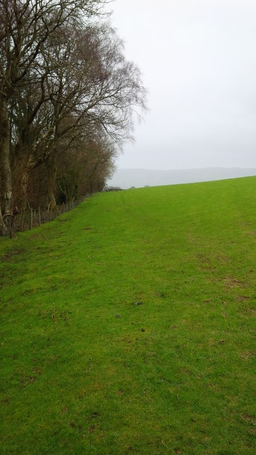
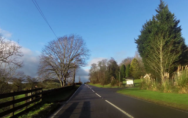
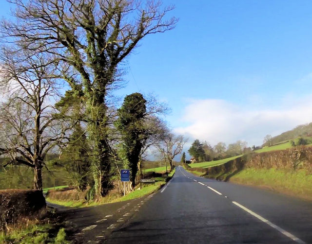
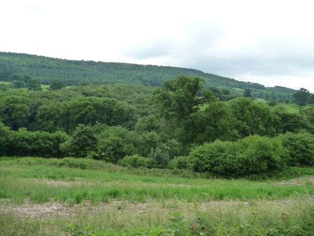
Black Pool is a picturesque freshwater lake located in Montgomeryshire, Wales. Nestled amidst the beautiful countryside, this natural wonder is a popular attraction for locals and tourists alike. Spanning an area of approximately 10 hectares, the pool is surrounded by lush greenery and offers breathtaking views of the surrounding hills.
The lake is known for its deep, dark waters which give it its name. Fed by a combination of underground springs and rainfall, the pool has a constant water level throughout the year. The water is crystal clear, providing a perfect habitat for a variety of aquatic plants and animals.
Surrounding the lake is a diverse range of flora and fauna, making it an ideal spot for nature enthusiasts. The area is home to numerous bird species, including ducks, herons, and kingfishers, making it a haven for birdwatchers. The tranquil atmosphere is further enhanced by the chorus of birdsong and the gentle rustling of leaves.
Black Pool also serves as a freshwater marsh, with its marshy edges providing a habitat for a wide array of plants such as reeds, water lilies, and rushes. These plants offer shelter and food for numerous invertebrates, amphibians, and small mammals, creating a thriving ecosystem.
Visitors to Black Pool can explore the area through well-maintained footpaths and enjoy picnics in designated areas. The serene ambiance and abundance of natural beauty make Black Pool a must-visit destination for those seeking a peaceful retreat in the heart of Montgomeryshire.
If you have any feedback on the listing, please let us know in the comments section below.
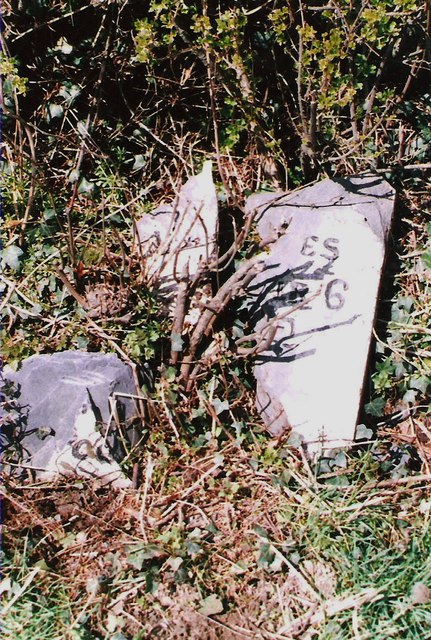
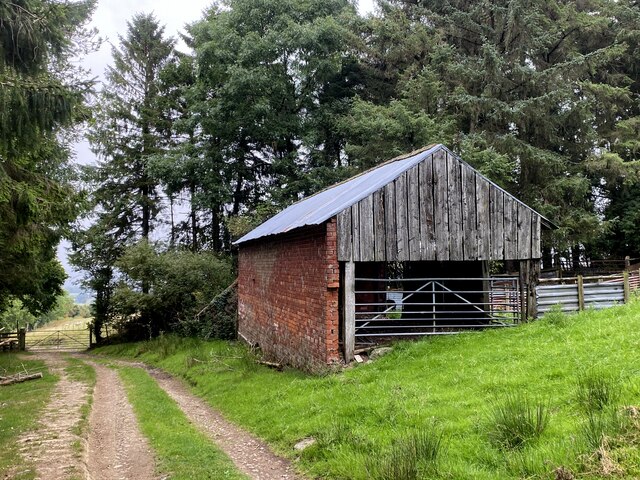
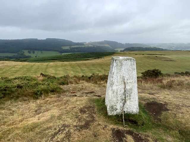
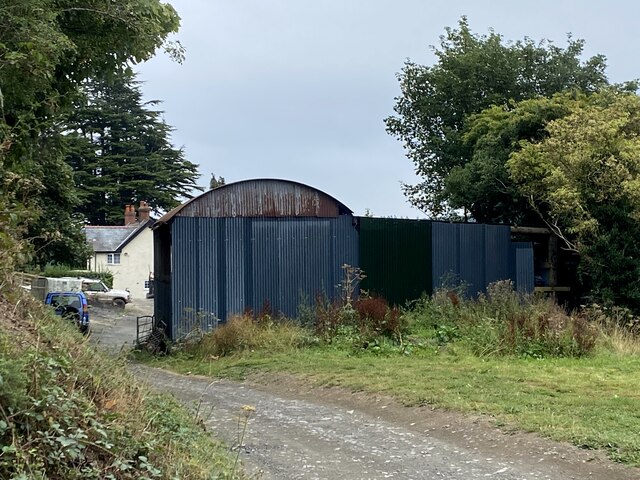
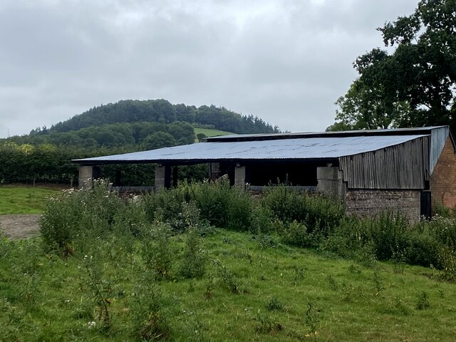
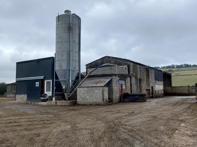
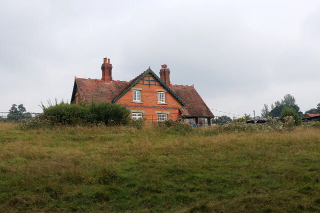
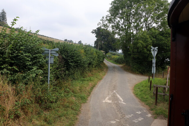
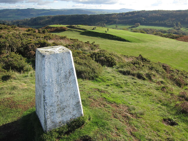
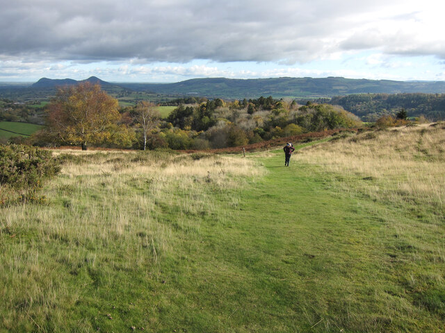
Black Pool Images
Images are sourced within 2km of 52.652303/-3.18506 or Grid Reference SJ1906. Thanks to Geograph Open Source API. All images are credited.


Black Pool is located at Grid Ref: SJ1906 (Lat: 52.652303, Lng: -3.18506)
Unitary Authority: Powys
Police Authority: Dyfed Powys
What 3 Words
///outgrown.error.blossom. Near Welshpool, Powys
Nearby Locations
Related Wikis

Llanerchydol
Llanerchydol is a hamlet in Powys, Wales, situated on the A458 about 2 km west of the centre of Welshpool. It is part of the community of Welshpool and...

Welshpool Llanerchyddol
Welshpool Llanerchyddol (usually referred to as Llanerchyddol) is the name of an electoral ward in the town of Welshpool, Powys, Wales. It elects a councillor...

Powis Castle
Powis Castle (Welsh: Castell Powys) is a medieval castle, fortress and grand country house near Welshpool, in Powys, Wales. The seat of the Herbert family...

Welshpool Raven Square railway station
Welshpool Raven Square railway station, located in Welshpool, in Wales, is the eastern terminus of the narrow gauge Welshpool and Llanfair Light Railway...

Christ Church, Welshpool
Christ Church, Welshpool was commissioned by the Earl of Powis to commemorate his son, Edward James, the Viscount Clive, having come of age. It was designed...

Sylfaen railway station
Sylfaen Halt railway station, located in the tiny hamlet of Sylfaen on the A548, is an unstaffed request halt on the narrow gauge Welshpool and Llanfair...
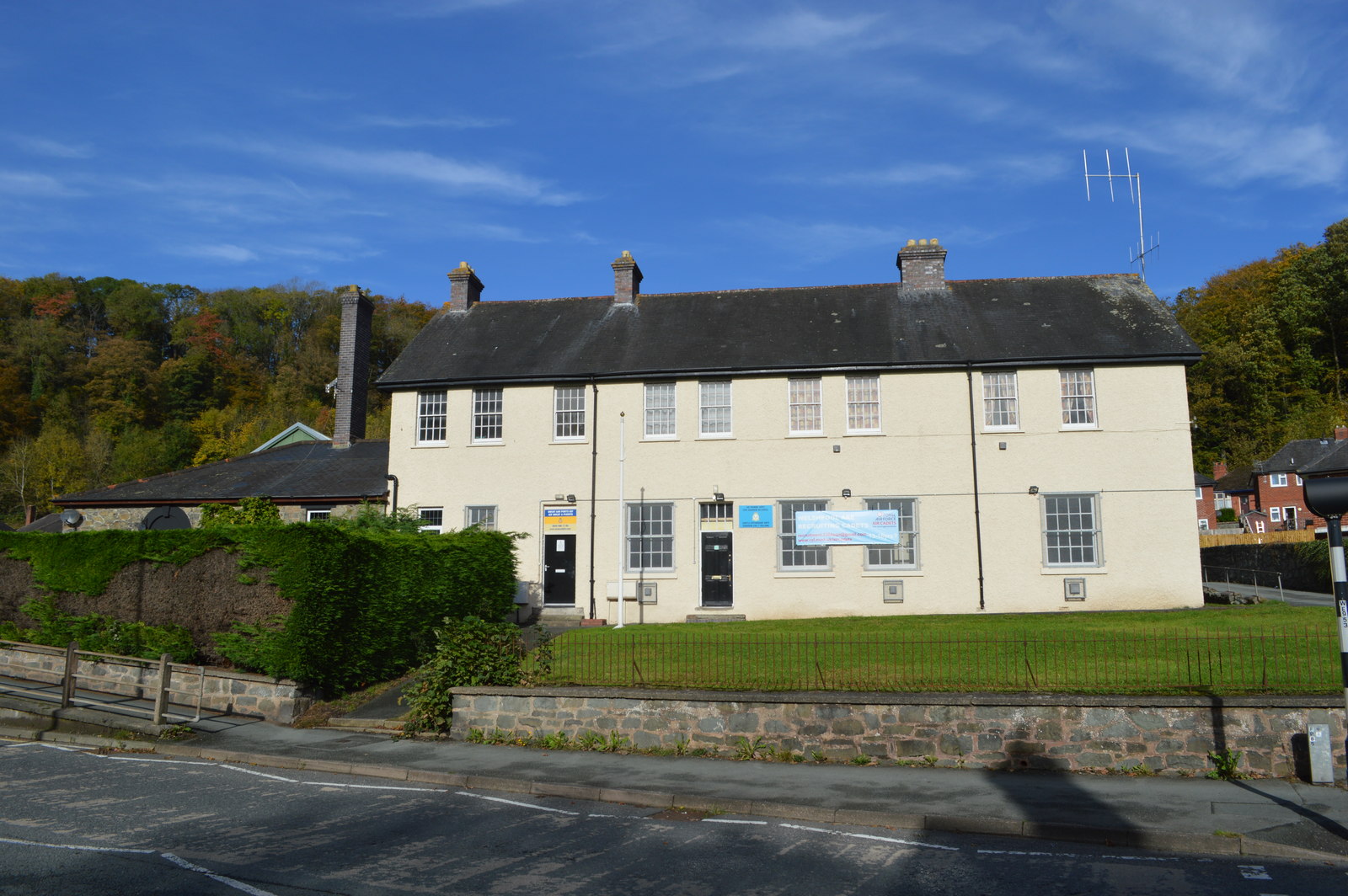
Brook Street drill hall, Welshpool
The Brook Street drill hall is a military installation in Welshpool. == History == An armoury was established at Welshpool in the mid-19th century. It...
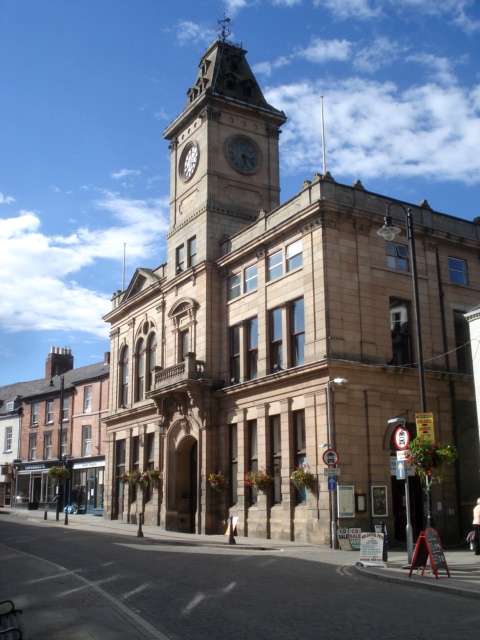
Welshpool Town Hall
Welshpool Town Hall (Welsh: Neuadd y Dref Y Trallwng), is a municipal building in Broad Street, Welshpool, Powys, Wales. The structure, which is the meeting...
Nearby Amenities
Located within 500m of 52.652303,-3.18506Have you been to Black Pool?
Leave your review of Black Pool below (or comments, questions and feedback).