Coed Braich
Wood, Forest in Montgomeryshire
Wales
Coed Braich

The requested URL returned error: 429 Too Many Requests
If you have any feedback on the listing, please let us know in the comments section below.
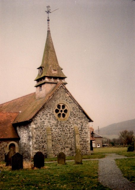
Coed Braich Images
Images are sourced within 2km of 52.781932/-3.2160681 or Grid Reference SJ1821. Thanks to Geograph Open Source API. All images are credited.


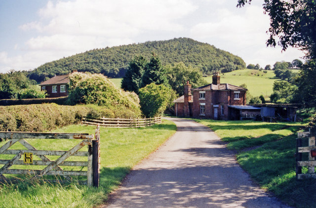


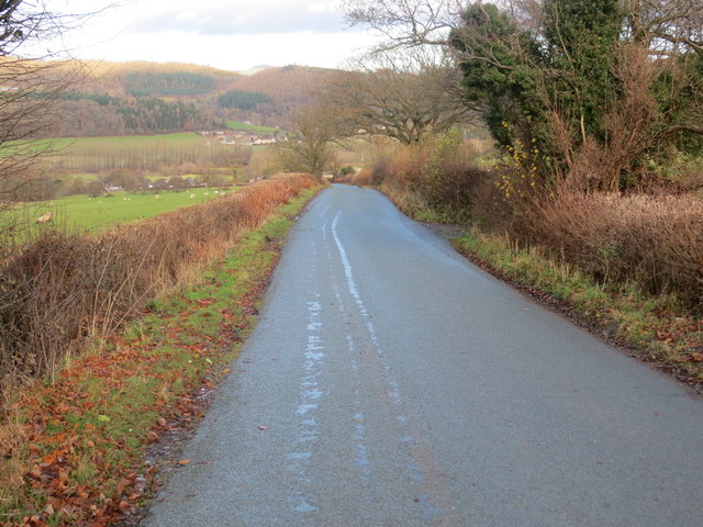


Coed Braich is located at Grid Ref: SJ1821 (Lat: 52.781932, Lng: -3.2160681)
Unitary Authority: Powys
Police Authority: Dyfed Powys
What 3 Words
///showed.inserting.adjusted. Near Llanfechain, Powys
Nearby Locations
Related Wikis

Battle of Mechain
The Battle of Mechain was fought in Powys, Wales, in 1070, for rule of the Welsh kingdoms of Gwynedd and Powys. The battlefield may be near Llanfechain...
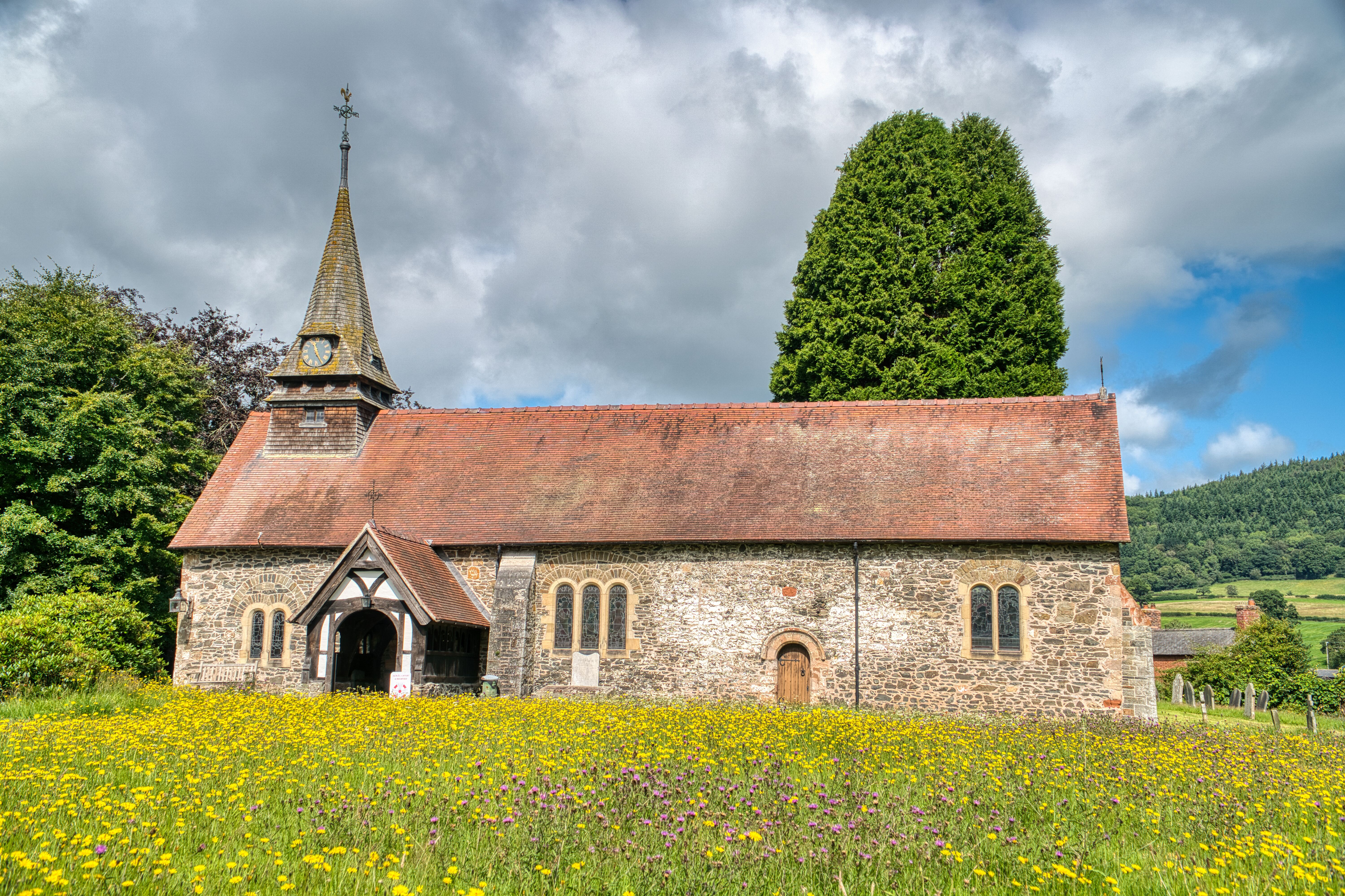
St Garmon's Church, Llanfechain
St Garmon's Church, Llanfechain, is in the village of Llanfechain, Powys, Wales. It is an active Anglican parish church in the deanery of Llanfyllin, the...

Llanfechain
Llanfechain is a village and community in Powys, Wales, on the B4393 road between Llanfyllin and Llansantffraid-ym-Mechain. Historically it belonged to...

Llanfechain railway station
Llanfechain railway station is a former station in Llanfechain, Powys, Wales. The station opened in 1865 and closed in 1965. The station site is now a...
Nearby Amenities
Located within 500m of 52.781932,-3.2160681Have you been to Coed Braich?
Leave your review of Coed Braich below (or comments, questions and feedback).