Coed Ty-isaf

Wood, Forest in Flintshire

Wales

Coed Ty-isaf

A541, Nannerch The A541 runs for 26 miles, linking St Asaph with Wrexham. Its northern end starts at the crossroads in the middle of the village of Trefnant (just south of St Asaph). It ends at Wrexham, where it joins the B5101 road. On the way, it passes the town of Mold and also passes through many villages.
A541, Nannerch Credit: David Dixon

The requested URL returned error: 429 Too Many Requests

If you have any feedback on the listing, please let us know in the comments section below.
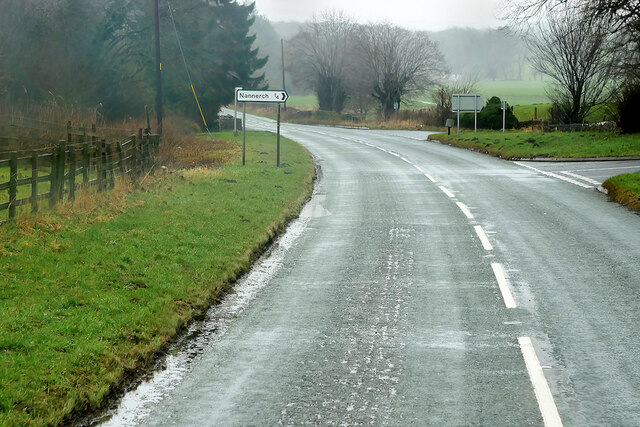
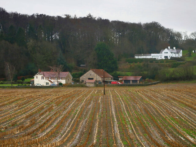
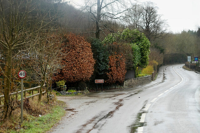
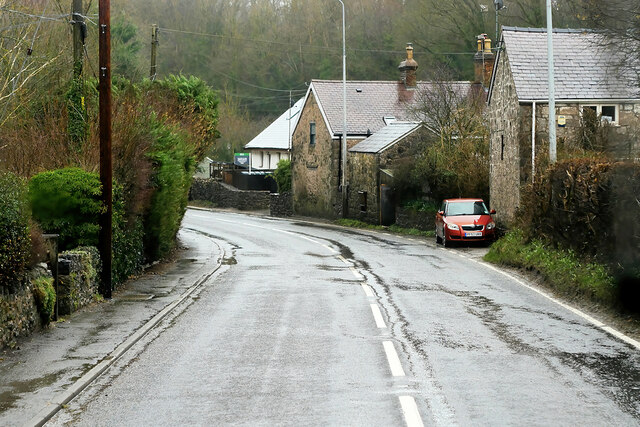
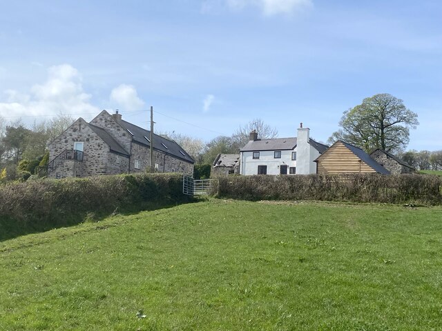
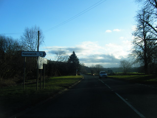
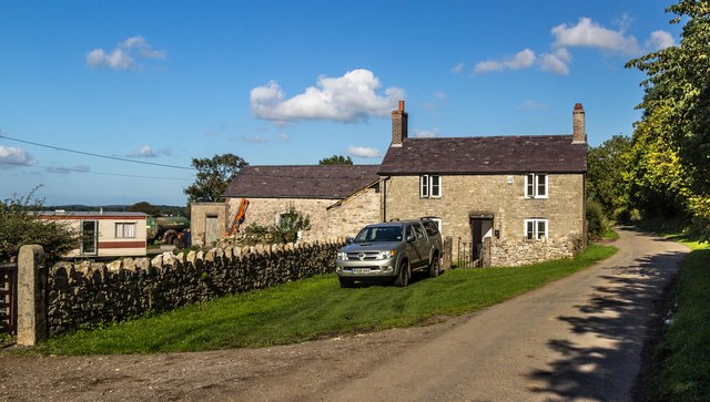
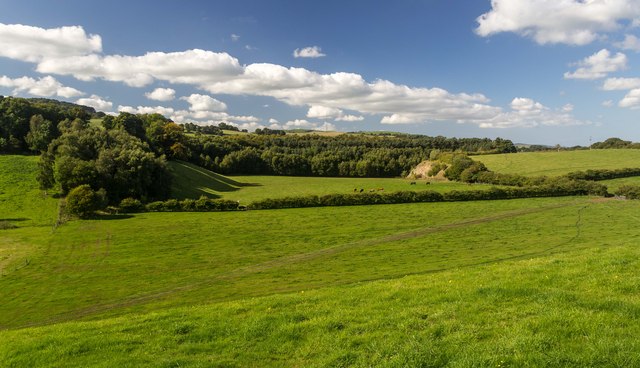
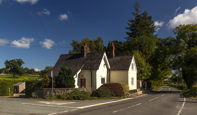
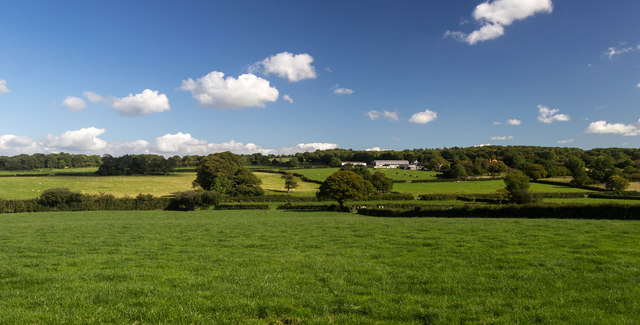
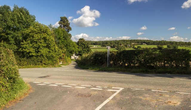
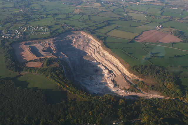
Coed Ty-isaf Images

Images are sourced within 2km of 53.19777/-3.2300239 or Grid Reference SJ1767. Thanks to Geograph Open Source API. All images are credited.

A541, Nannerch The A541 runs for 26 miles, linking St Asaph with Wrexham. Its northern end starts at the crossroads in the middle of the village of Trefnant (just south of St Asaph). It ends at Wrexham, where it joins the B5101 road. On the way, it passes the town of Mold and also passes through many villages.
A541, Nannerch
The A541 runs for 26 miles, linking St Asaph with Wrexham. Its northern end starts at the crossroads in the middle of the village of Trefnant (just south of St Asaph). It ends at Wrexham, where it joins the B5101 road. On the way, it passes the town of Mold and also passes through many villages.
A451 east of Nannerch The A541 runs for 26 miles, linking St Asaph with Wrexham. Its northern end starts at the crossroads in the middle of the village of Trefnant (just south of St Asaph). It ends at Wrexham, where it joins the B5101 road. On the way, it passes the town of Mold and also passes through many villages.
A451 east of Nannerch
The A541 runs for 26 miles, linking St Asaph with Wrexham. Its northern end starts at the crossroads in the middle of the village of Trefnant (just south of St Asaph). It ends at Wrexham, where it joins the B5101 road. On the way, it passes the town of Mold and also passes through many villages.
Tardd-y-dwr
Tardd-y-dwr
A541, Hendre The A541 runs for 26 miles, linking St Asaph with Wrexham. Its northern end starts at the crossroads in the middle of the village of Trefnant (just south of St Asaph). It ends at Wrexham, where it joins the B5101 road. On the way, it passes the town of Mold and also passes through many villages.
A541, Hendre
The A541 runs for 26 miles, linking St Asaph with Wrexham. Its northern end starts at the crossroads in the middle of the village of Trefnant (just south of St Asaph). It ends at Wrexham, where it joins the B5101 road. On the way, it passes the town of Mold and also passes through many villages.
Hendre, A541 The A541 runs for 26 miles, linking St Asaph with Wrexham. Its northern end starts at the crossroads in the middle of the village of Trefnant (just south of St Asaph). It ends at Wrexham, where it joins the B5101 road. On the way, it passes the town of Mold and also passes through many villages.
Hendre, A541
The A541 runs for 26 miles, linking St Asaph with Wrexham. Its northern end starts at the crossroads in the middle of the village of Trefnant (just south of St Asaph). It ends at Wrexham, where it joins the B5101 road. On the way, it passes the town of Mold and also passes through many villages.
Barn conversion at Bryn Awelon
Gors Farm
Gors Farm
Metal stile There are a number of these metal stiles in this area. They are robust and not liable to rot or become slippery after rain.
Metal stile
There are a number of these metal stiles in this area. They are robust and not liable to rot or become slippery after rain.
Junction of farm tracks
Tractor tracks along field edge
A541 south of Nannerch
A541 near Tardd-Y-Wyr
Gelli-bach Farmhouse under renovation at Gelli-bach.
Gelli-bach
Farmhouse under renovation at Gelli-bach.
Gelli Farmland near Gelli.
Gelli
Farmland near Gelli.
Railway Cottage Railway Cottage alongside the A541.
Railway Cottage
Railway Cottage alongside the A541.
Cefn-mely View of Cefn-mely farm.
Cefn-mely
View of Cefn-mely farm.
Four Crosses Crossroads at Four Crosses.
Four Crosses
Crossroads at Four Crosses.
Show me another place!

Coed Ty-isaf is located at Grid Ref: SJ1767 (Lat: 53.19777, Lng: -3.2300239)

Unitary Authority: Flintshire

Police Authority: North Wales

What 3 Words

///crinkled.points.lightly. Near Halkyn, Flintshire

Related Wikis

Star Crossing Halt railway station

Star Crossing Halt railway station was a station between Nannerch and Cilcain, Flintshire, Wales. The station was opened on 2 November 1914 and closed...

Cilcain Hall

Cilcain Hall is a country house 2 miles (3 km) north-northeast of the village of Cilcain, Flintshire, Wales (grid reference SJ185683). It was built in...

Nannerch railway station

Nannerch railway station was a station in Nannerch, Flintshire, Wales. The station was opened on 6 September 1869 and closed on 30 April 1962. == References... ==

Mold and Denbigh Junction Railway

The Mold and Denbigh Junction Railway was a railway company that built a 16-mile (26 km) railway line in North Wales. It formed a link between the Mold...

Nearby Amenities

Located within 500m of 53.19777,-3.2300239
The data included in this document is from www.openstreetmap.org. The data is made available under ODbL.

Have you been to Coed Ty-isaf?

Leave your review of Coed Ty-isaf below (or comments, questions and feedback).