Coed Tyn-twll

Wood, Forest in Flintshire

Wales

Coed Tyn-twll

A541, Nannerch The A541 runs for 26 miles, linking St Asaph with Wrexham. Its northern end starts at the crossroads in the middle of the village of Trefnant (just south of St Asaph). It ends at Wrexham, where it joins the B5101 road. On the way, it passes the town of Mold and also passes through many villages.
A541, Nannerch Credit: David Dixon

The requested URL returned error: 429 Too Many Requests

If you have any feedback on the listing, please let us know in the comments section below.

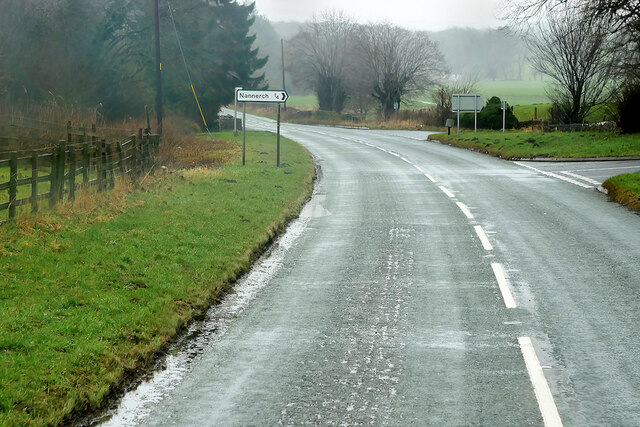
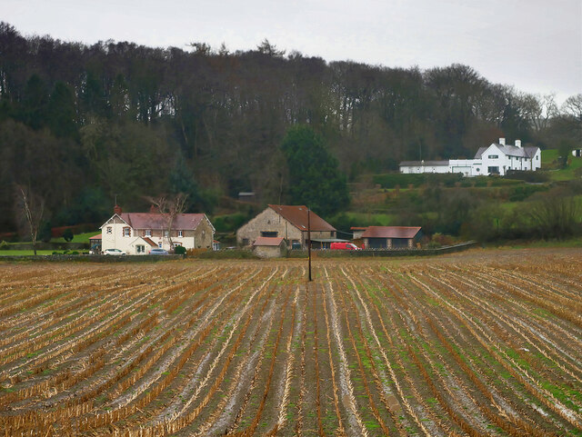
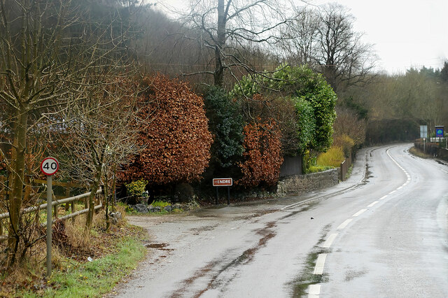
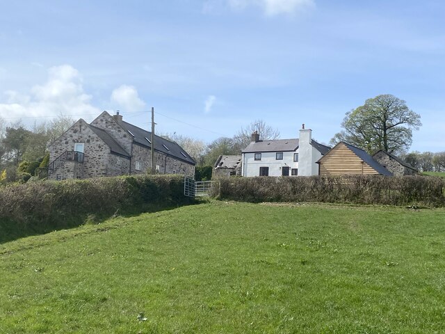
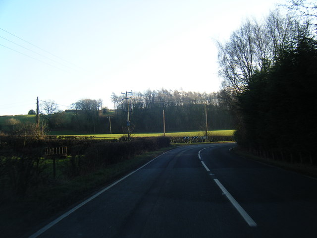
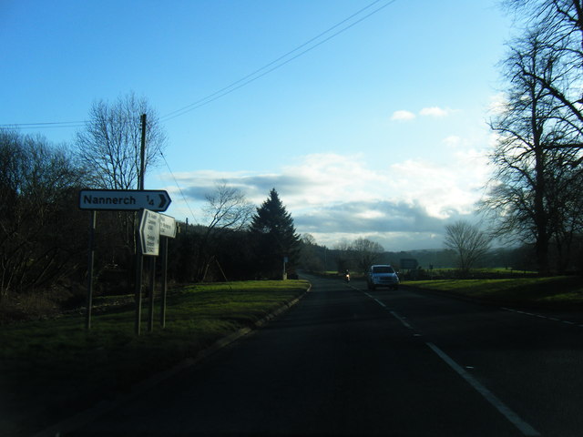
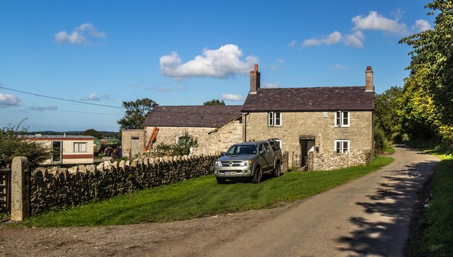
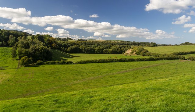
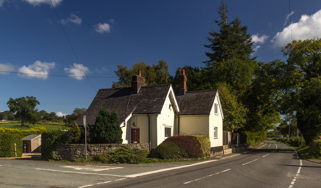
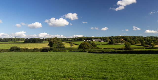
Coed Tyn-twll Images

Images are sourced within 2km of 53.199106/-3.2407809 or Grid Reference SJ1767. Thanks to Geograph Open Source API. All images are credited.

A541, Nannerch The A541 runs for 26 miles, linking St Asaph with Wrexham. Its northern end starts at the crossroads in the middle of the village of Trefnant (just south of St Asaph). It ends at Wrexham, where it joins the B5101 road. On the way, it passes the town of Mold and also passes through many villages.
A541, Nannerch
The A541 runs for 26 miles, linking St Asaph with Wrexham. Its northern end starts at the crossroads in the middle of the village of Trefnant (just south of St Asaph). It ends at Wrexham, where it joins the B5101 road. On the way, it passes the town of Mold and also passes through many villages.
A451 east of Nannerch The A541 runs for 26 miles, linking St Asaph with Wrexham. Its northern end starts at the crossroads in the middle of the village of Trefnant (just south of St Asaph). It ends at Wrexham, where it joins the B5101 road. On the way, it passes the town of Mold and also passes through many villages.
A451 east of Nannerch
The A541 runs for 26 miles, linking St Asaph with Wrexham. Its northern end starts at the crossroads in the middle of the village of Trefnant (just south of St Asaph). It ends at Wrexham, where it joins the B5101 road. On the way, it passes the town of Mold and also passes through many villages.
Tardd-y-dwr
Tardd-y-dwr
A541, Hendre The A541 runs for 26 miles, linking St Asaph with Wrexham. Its northern end starts at the crossroads in the middle of the village of Trefnant (just south of St Asaph). It ends at Wrexham, where it joins the B5101 road. On the way, it passes the town of Mold and also passes through many villages.
A541, Hendre
The A541 runs for 26 miles, linking St Asaph with Wrexham. Its northern end starts at the crossroads in the middle of the village of Trefnant (just south of St Asaph). It ends at Wrexham, where it joins the B5101 road. On the way, it passes the town of Mold and also passes through many villages.
Barn conversion at Bryn Awelon
Gors Farm
Gors Farm
Metal stile There are a number of these metal stiles in this area. They are robust and not liable to rot or become slippery after rain.
Metal stile
There are a number of these metal stiles in this area. They are robust and not liable to rot or become slippery after rain.
Ruined farmhouse
Ruined farmhouse
Junction of farm tracks
Tractor tracks along field edge
Woodland track off mountain road
A541 near Nannerch
A541 near Nannerch
A541 south of Nannerch
A541 near Tardd-Y-Wyr
Gelli-bach Farmhouse under renovation at Gelli-bach.
Gelli-bach
Farmhouse under renovation at Gelli-bach.
Gelli Farmland near Gelli.
Gelli
Farmland near Gelli.
Railway Cottage Railway Cottage alongside the A541.
Railway Cottage
Railway Cottage alongside the A541.
Cefn-mely View of Cefn-mely farm.
Cefn-mely
View of Cefn-mely farm.
Show me another place!

Coed Tyn-twll is located at Grid Ref: SJ1767 (Lat: 53.199106, Lng: -3.2407809)

Unitary Authority: Flintshire

Police Authority: North Wales

What 3 Words

///defeat.sharpened.acquaint. Near Halkyn, Flintshire

Related Wikis

Star Crossing Halt railway station

Star Crossing Halt railway station was a station between Nannerch and Cilcain, Flintshire, Wales. The station was opened on 2 November 1914 and closed...

Nannerch railway station

Nannerch railway station was a station in Nannerch, Flintshire, Wales. The station was opened on 6 September 1869 and closed on 30 April 1962. == References... ==

Cilcain Hall

Cilcain Hall is a country house 2 miles (3 km) north-northeast of the village of Cilcain, Flintshire, Wales (grid reference SJ185683). It was built in...

Penbedw

Penbedw is a country estate near Nannerch, Flintshire, Wales. Penbedw Hall was demolished by developers some time after 1969.Its parks and gardens are...

Related Videos

Walking in NE Wales Limestone Country

A quick circular amble in the Clwydian Area of Outstanding Natural Beauty taking in the littile hill of Bryn Alyn.

Camping North Wales - Fron Farm

Camping North Wales - Fron Farm.

JoGLE ep. 29: Starting the Offa‘s Dyke Path | Strenuous climbs, heat exhaustion and a very WET day

Come along for Days 71 to 73 of our End-to-End hike across the UK where we started another National Trail, the Offa's Dyke Path.

Nearby Amenities

Located within 500m of 53.199106,-3.2407809
Ref: 43
Lat/Long: 53.2013369/-3.2360392
Tarddydwr Halt
Alt Name: Star Crossing
Historic Railway: station
Railway: site
Lat/Long: 53.2014833/-3.2357186
Stone Circle
Historic: archaeological_site
Lat/Long: 53.201996/-3.2422736
Historic: boundary_stone
Lat/Long: 53.2019189/-3.2424624
Historic: boundary_stone
Lat/Long: 53.2018624/-3.2423508
Historic: boundary_stone
Lat/Long: 53.2018521/-3.2422135
Historic: boundary_stone
Lat/Long: 53.2018795/-3.2421162
Historic: boundary_stone
Lat/Long: 53.2019412/-3.2420361
Historic: boundary_stone
Lat/Long: 53.2020715/-3.2420132
Historic: boundary_stone
Lat/Long: 53.202008/-3.2425025
Historic: boundary_stone
Lat/Long: 53.2021092/-3.2424224
Historic: boundary_stone
Lat/Long: 53.2021555/-3.2422879
Historic: boundary_stone
Lat/Long: 53.2021452/-3.2421333
Telephone
Booth: K6
Covered: booth
Lat/Long: 53.2015029/-3.2366137
Direction: 125
Generator Method: photovoltaic
Generator Output Electricity: yes
Generator Solar Modules: 16
Generator Source: solar
Generator Type: solar_photovoltaic_panel
Location: roof
Power: generator
Lat/Long: 53.1954172/-3.2413141
The data included in this document is from www.openstreetmap.org. The data is made available under ODbL.

Have you been to Coed Tyn-twll?

Leave your review of Coed Tyn-twll below (or comments, questions and feedback).