Cadger Path
Settlement in Angus
Scotland
Cadger Path
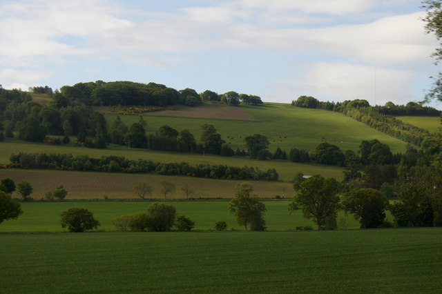
![Strathmore: NW view to Grampians from Hill of Finavon, 1988 In far distance on the left is [probably]? Ben Tirran (2,860 ft.) north of Glen Clova, with White Hill (2,544 ft.) nearer and in the middle the Lethnot &amp; Navar district (Dog Hilloch, 2,369 ft.) and on the right Hill of Wirren (2,109 ft.). (Cf. <a href="https://www.geograph.org.uk/photo/3418">NO5055 : Strathmore from Finavon Hill</a> and <a href="https://www.geograph.org.uk/photo/148491">NO5055 : Vale of Strathmore from Finavon Hill</a>).](https://s1.geograph.org.uk/geophotos/04/28/05/4280597_88ed52e7.jpg)
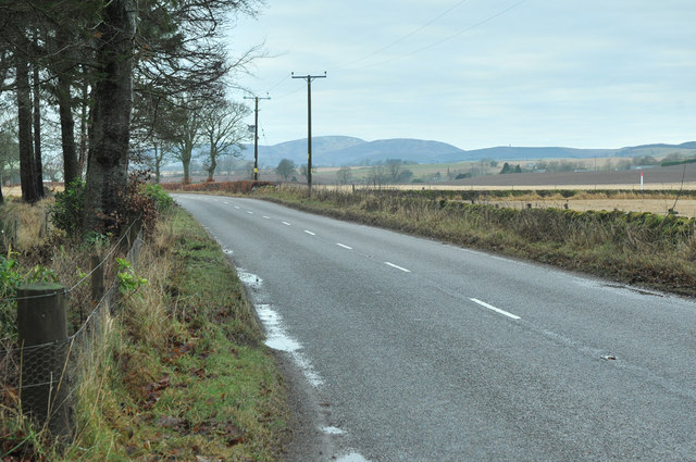
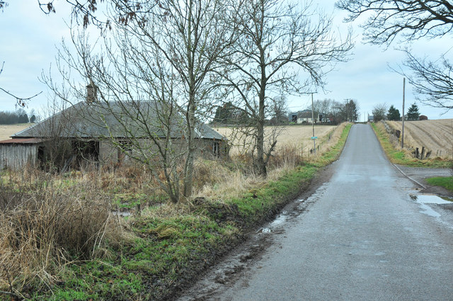
Cadger Path is a picturesque countryside path located in Angus, Scotland. It is situated in the rural area of Angus, known for its stunning scenery and tranquil atmosphere. The path stretches for approximately 2 miles and offers a delightful walk through the heart of the Angus countryside.
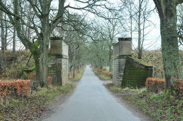
Cadger Path is surrounded by lush green fields, rolling hills, and charming farmland, creating a serene and peaceful ambiance for visitors. The path is well-maintained and suitable for both walkers and cyclists, making it a popular choice for outdoor enthusiasts.
As you wander along Cadger Path, you'll be treated to breathtaking views of the surrounding landscape, with glimpses of the nearby Angus Glens visible in the distance. The path follows the course of a gently flowing stream, adding to the idyllic charm of the area.
Along the way, you may encounter various wildlife species, including birds, rabbits, and perhaps even a deer or two. The path is also lined with a variety of wildflowers and native plants, adding color and vibrancy to the surroundings.
Cadger Path is a great place to escape the hustle and bustle of city life and immerse yourself in nature. Whether you're seeking a leisurely stroll, a peaceful bike ride, or a moment of tranquility, Cadger Path offers an ideal setting to relax and rejuvenate.
If you have any feedback on the listing, please let us know in the comments section below.
Cadger Path Images
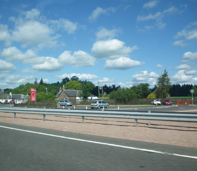
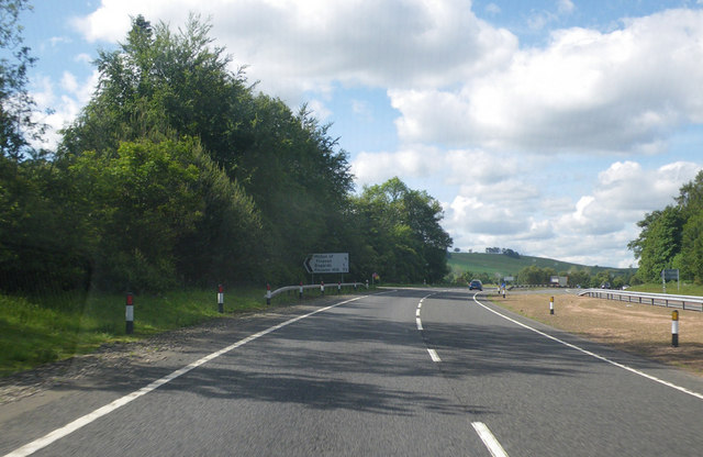
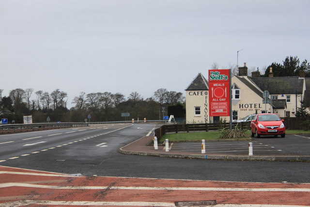
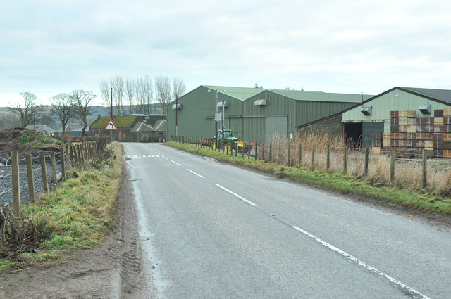
Images are sourced within 2km of 56.701912/-2.8344878 or Grid Reference NO4957. Thanks to Geograph Open Source API. All images are credited.


Cadger Path is located at Grid Ref: NO4957 (Lat: 56.701912, Lng: -2.8344878)
Unitary Authority: Angus
Police Authority: Tayside
What 3 Words
///sprawls.afflicted.hidden. Near Forfar, Angus
Nearby Locations
Related Wikis
Milton of Finavon
Milton of Finavon is a hamlet in Angus, Scotland that lies adjacent to the A90 road on its southern side by the River South Esk. It is approximately 5...
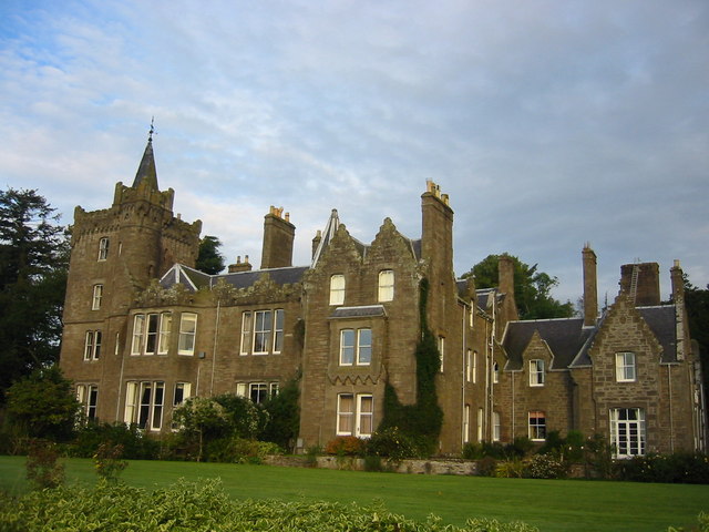
Finavon Castle
Finavon Castle lies on the River South Esk, about a quarter of a mile south of Milton of Finavon village and five miles to the north-east of Forfar in...

Finavon
Finavon is a small settlement in Angus, Scotland. Its Ordnance Survey grid reference is NO4957. == References ==
Tannadice railway station
Tannadice railway station served the village of Tannadice, Angus, Scotland, from 1895 to 1952 on the Forfar and Brechin Railway. == History == The station...
Nearby Amenities
Located within 500m of 56.701912,-2.8344878Have you been to Cadger Path?
Leave your review of Cadger Path below (or comments, questions and feedback).