Cademuir
Settlement in Peeblesshire
Scotland
Cademuir

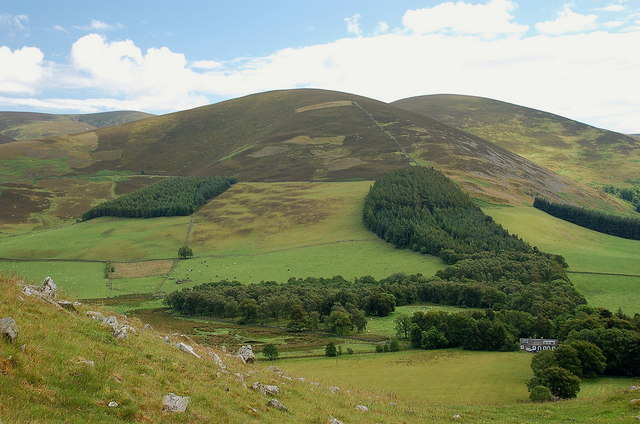
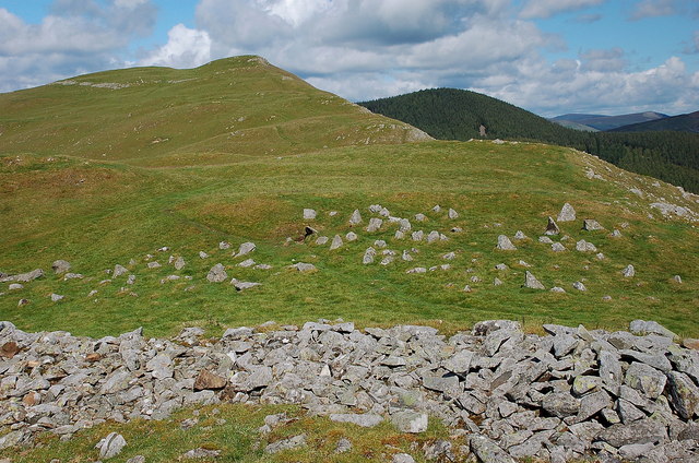
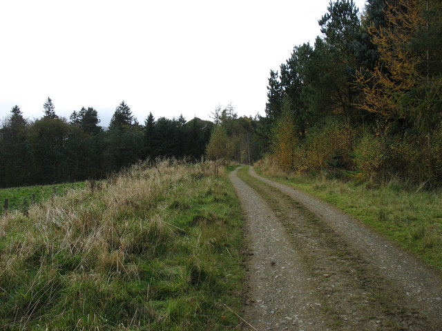
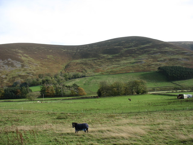
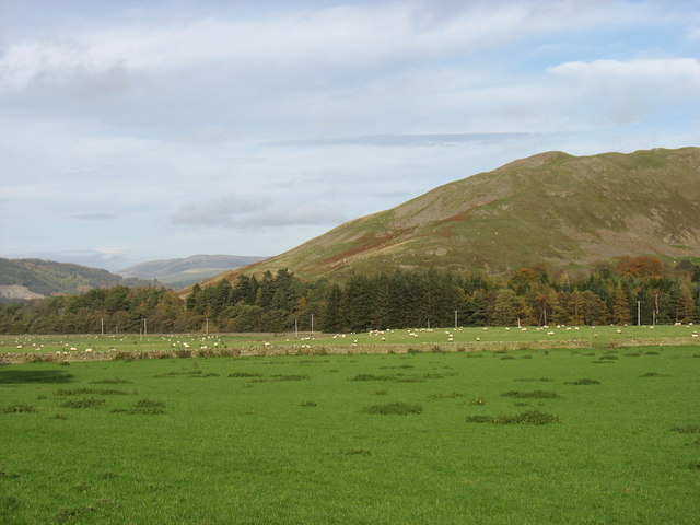
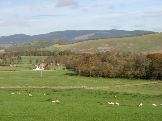
Cademuir is a small village located in Peeblesshire, Scotland. Situated in the southern part of the country, it is nestled in the picturesque Tweed Valley. The village is surrounded by lush greenery, rolling hills, and the meandering River Tweed, providing a stunning natural landscape.
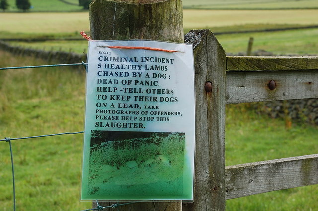
Cademuir is renowned for its rich history and archaeological significance. The area has been inhabited for centuries, with evidence of Iron Age settlements and Roman forts in the vicinity. The remnants of these ancient civilizations can still be seen today, attracting history enthusiasts and archaeologists alike.
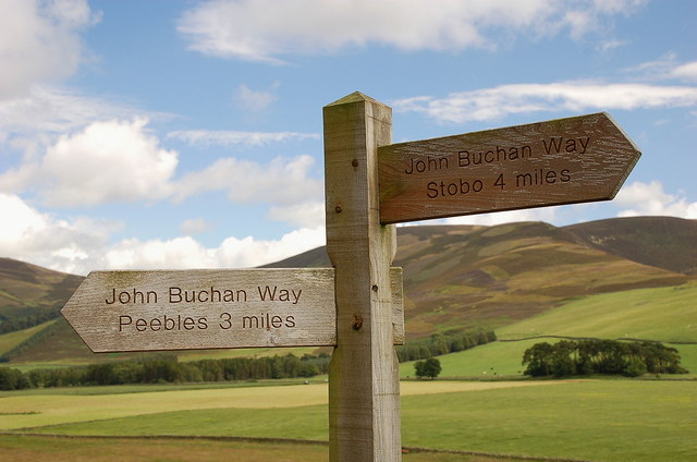
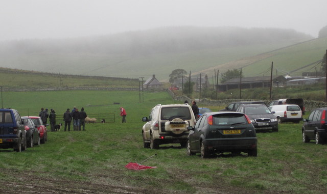
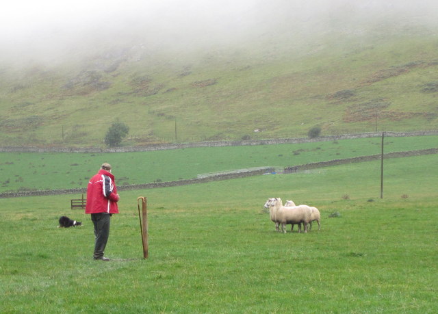
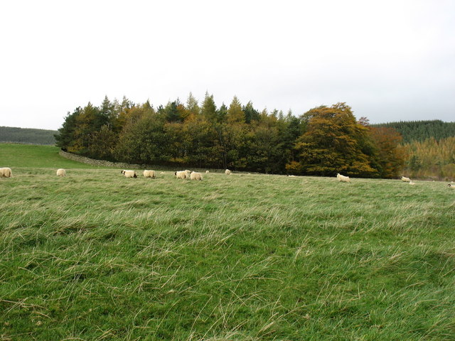
Despite its small size, Cademuir offers a range of recreational activities for locals and tourists. The village is a popular destination for outdoor enthusiasts, offering opportunities for hiking, cycling, and fishing along the river. The nearby Cademuir Forest provides ample space for leisurely walks and exploration of the local flora and fauna.
In terms of amenities, Cademuir is well-equipped with basic facilities such as schools, a community center, and a few local shops. For more extensive services, residents often travel to nearby towns like Peebles, which is only a short distance away.
The tranquil and idyllic setting of Cademuir makes it an attractive place for those seeking a peaceful retreat away from the hustle and bustle of city life. Its natural beauty, historical significance, and range of outdoor activities make it a charming and engaging destination for visitors of all ages.
If you have any feedback on the listing, please let us know in the comments section below.
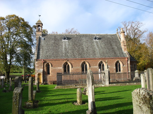
Cademuir Images
Images are sourced within 2km of 55.611322/-3.2398057 or Grid Reference NT2236. Thanks to Geograph Open Source API. All images are credited.


Cademuir is located at Grid Ref: NT2236 (Lat: 55.611322, Lng: -3.2398057)
Unitary Authority: The Scottish Borders
Police Authority: The Lothians and Scottish Borders
What 3 Words
///worm.perplexed.presenter. Near Peebles, Scottish Borders
Nearby Locations
Related Wikis
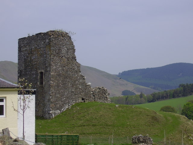
Castlehill Tower
Castlehill Tower, also known as Castle Hill of Manor, is a ruined oblong tower house dating from the end of the 15th century, situated in the parish of...

Lyne Water
The Lyne Water is a tributary of the River Tweed that rises in the Pentland Hills of southern Scotland at Baddinsgill Reservoir. It runs through West Linton...

Manor, Scottish Borders
Manor is a parish in Peeblesshire in the Scottish Borders, whose church lies on the west bank of Manor Water 3 miles south-west of Peebles.The parish...

Manor Water
Manor Water is a river in the parish of Manor, Peeblesshire in the Scottish Borders. It rises in the Ettrick Forest and flows down through the Maynor valley...
Nearby Amenities
Located within 500m of 55.611322,-3.2398057Have you been to Cademuir?
Leave your review of Cademuir below (or comments, questions and feedback).