Coed Gwernau
Wood, Forest in Monmouthshire
Wales
Coed Gwernau

Coed Gwernau, located in Monmouthshire, is a scenic woodland area known for its tranquil ambiance and natural beauty. Covering a vast area, the forest is a haven for both wildlife and visitors seeking to immerse themselves in nature.
Featuring a diverse range of tree species, Coed Gwernau offers a stunning display of colors throughout the year, from the vibrant greens of spring and summer to the rich oranges and reds of autumn. The forest also boasts a variety of flora and fauna, including native plants, wildflowers, and numerous species of birds and mammals.
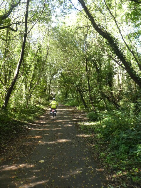
The woodland is crisscrossed with well-maintained footpaths and trails, allowing visitors to explore its wonders by foot, bike, or even horseback. With its rolling hills and gentle slopes, Coed Gwernau offers a pleasant and accessible experience for nature enthusiasts of all ages and abilities.
In addition to its natural beauty, Coed Gwernau is also home to a number of historical and cultural sites. Visitors may stumble upon ancient ruins and archaeological sites, adding an extra layer of intrigue to their woodland adventure.
Coed Gwernau is a popular destination for outdoor activities such as picnicking, hiking, and wildlife spotting. Its peaceful surroundings make it an ideal spot for relaxation and contemplation, providing a much-needed escape from the hustle and bustle of daily life.
Whether exploring the forest's hidden gems or simply taking in the breathtaking scenery, a visit to Coed Gwernau promises an enriching and rejuvenating experience for all who venture into its serene embrace.
If you have any feedback on the listing, please let us know in the comments section below.
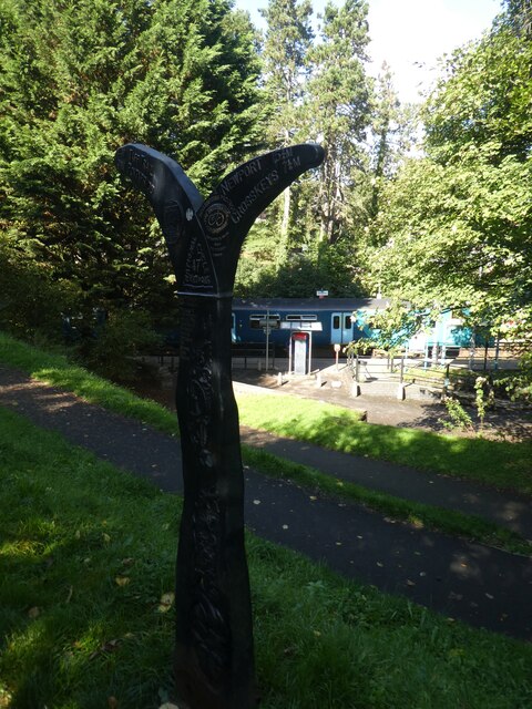
Coed Gwernau Images
Images are sourced within 2km of 51.640544/-3.2183503 or Grid Reference ST1594. Thanks to Geograph Open Source API. All images are credited.


Coed Gwernau is located at Grid Ref: ST1594 (Lat: 51.640544, Lng: -3.2183503)
Unitary Authority: Caerphilly
Police Authority: Gwent
What 3 Words
///copying.radar.compress. Near Maesycwmmer, Caerphilly
Nearby Locations
Related Wikis

Maesycwmmer
Maesycwmmer (Welsh: Maesycwmer) is a village and community in the centre of Caerphilly County Borough in Wales, within the historic boundaries of Monmouthshire...
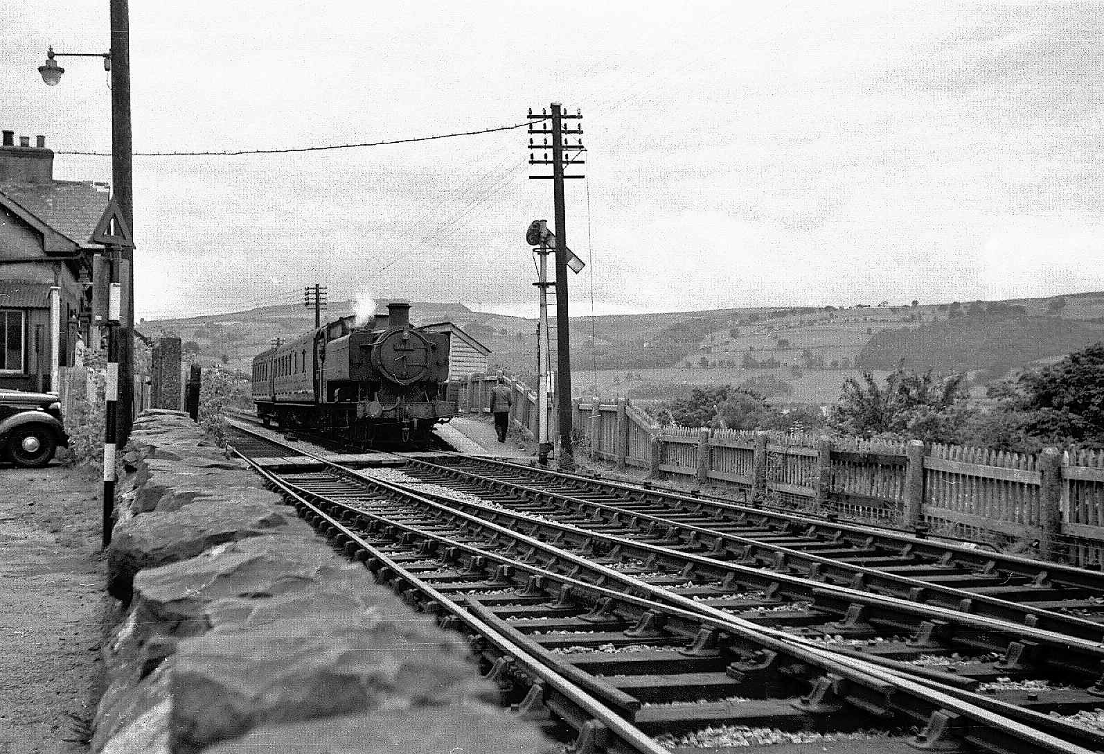
Maesycwmmer railway station
Maesycwmmer railway station was situated on the Bassaleg and Bargoed line, serving the adjoining village of Maesycwmmer, which lies on the east bank of...

Hengoed Viaduct
Hengoed Viaduct is a disused railway viaduct located above the village of Maesycwmmer, in Caerphilly county borough, South Wales. Grade II* listed, it...

Hengoed railway station
Hengoed railway station is the name of an operational National Rail station situated in Hengoed, Wales, on the Rhymney Line of the Valley Lines network...
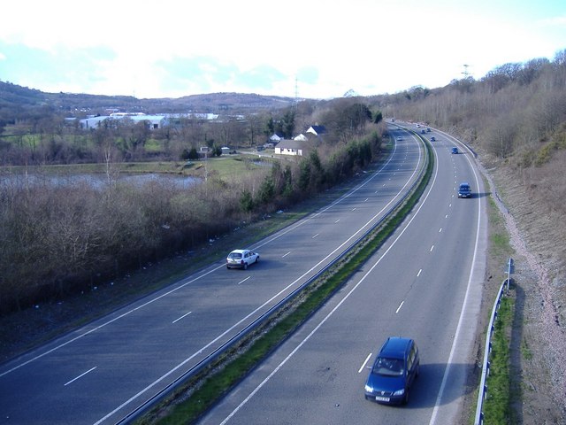
A469 road
The A469 is a road in south Wales. It links Cardiff and Caerphilly with Rhymney and the Heads of the Valleys Road (A465). == See also == Transport in...

Lewis Girls Comprehensive School
Lewis Girls' Comprehensive School is a secondary school in Wales. The Lewis Girls School stands at the border between Glamorganshire and Monmouthshire...

Ysbyty Ystrad Fawr
Ysbyty Ystrad Fawr (English: Large Vale Hospital) is a community hospital at Ystrad Mynach in Caerphilly County Borough in Wales. It is managed by Aneurin...
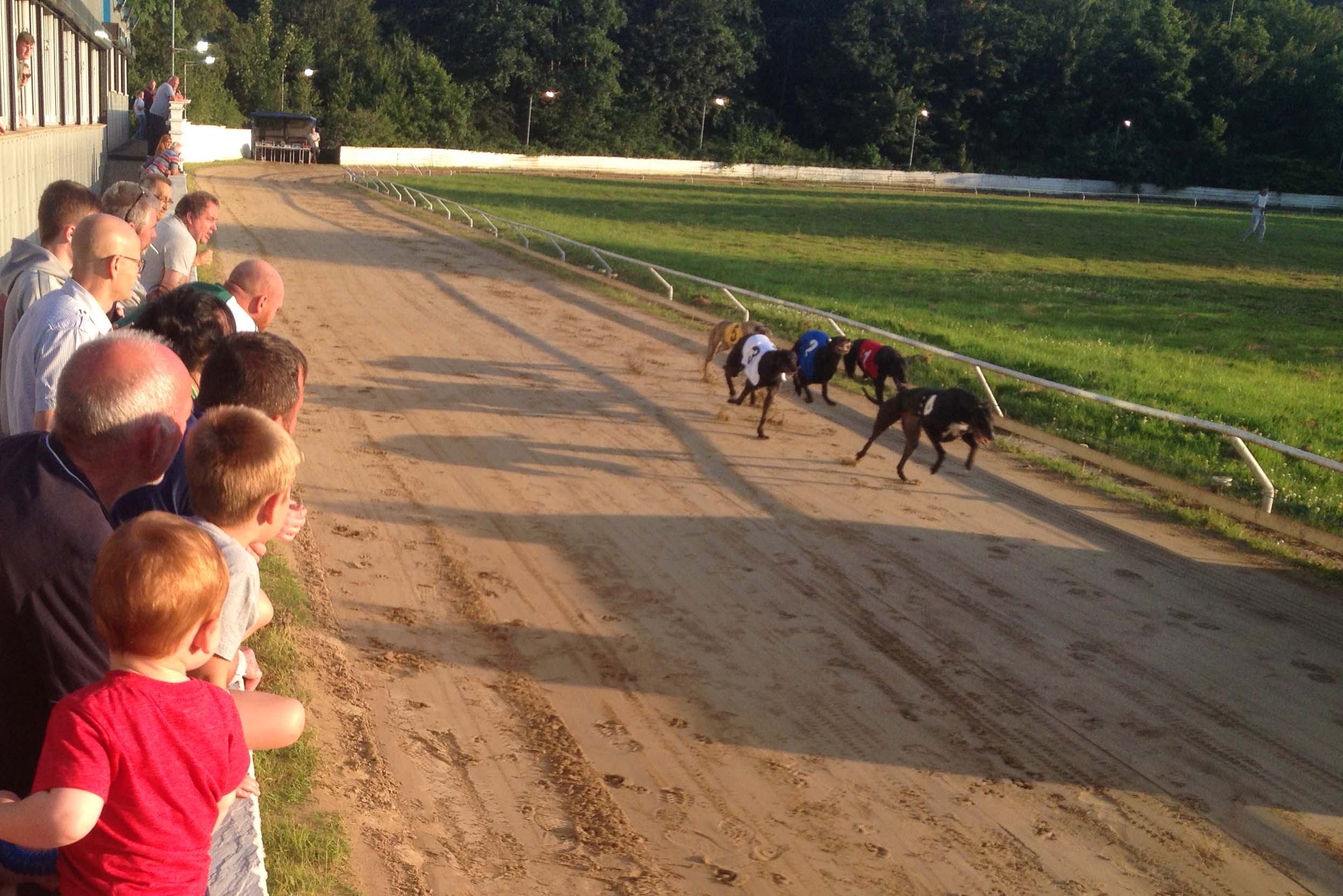
Valley Greyhound Stadium
The Valley Greyhound Stadium is a greyhound racing stadium in Twyn Road, Ystrad Mynach, Hengoed, Wales. In 2023, the stadium became affiliated to the Greyhound...
Nearby Amenities
Located within 500m of 51.640544,-3.2183503Have you been to Coed Gwernau?
Leave your review of Coed Gwernau below (or comments, questions and feedback).