The Warren

Wood, Forest in Denbighshire

Wales

The Warren

Milestone - Chirk 11
Milestone - Chirk 11 Credit: Adrian Dust

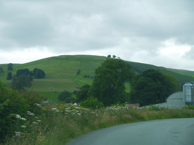
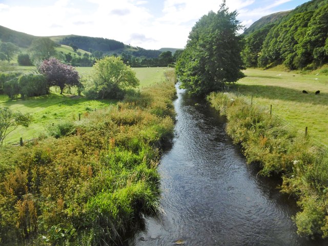
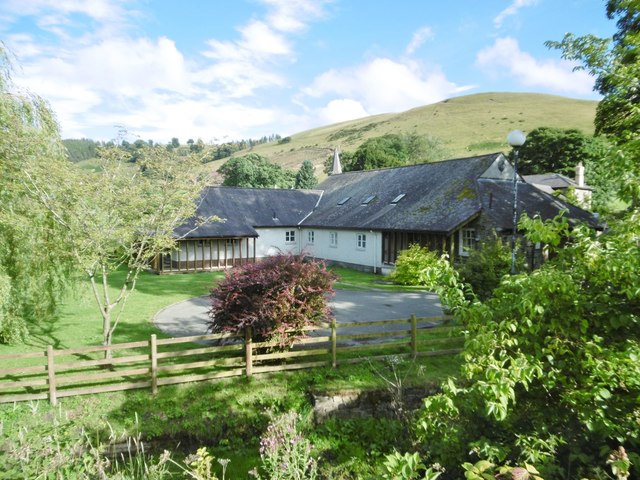
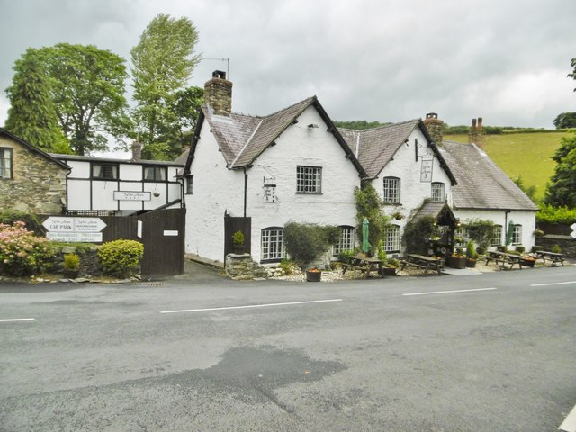
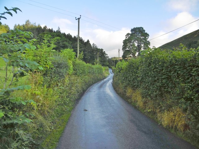
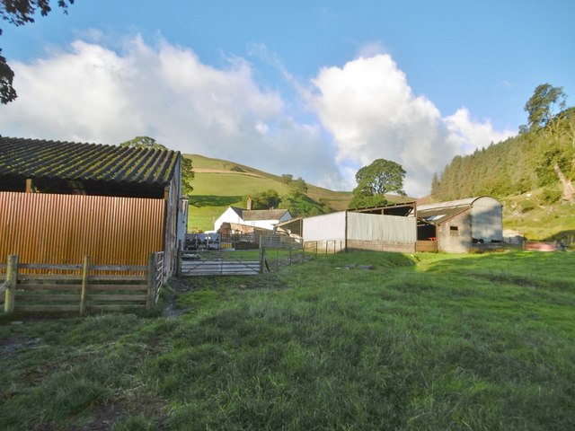
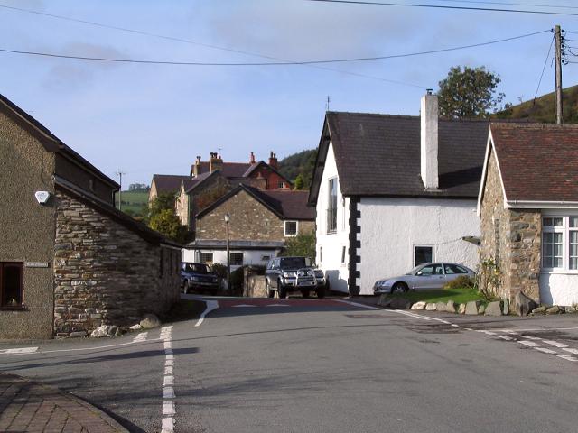
The Warren, located in Denbighshire, Wales, is a picturesque wood known for its lush forest and natural beauty. Covering an area of approximately 200 acres, it offers a tranquil retreat for nature enthusiasts and those seeking respite from the busy city life.

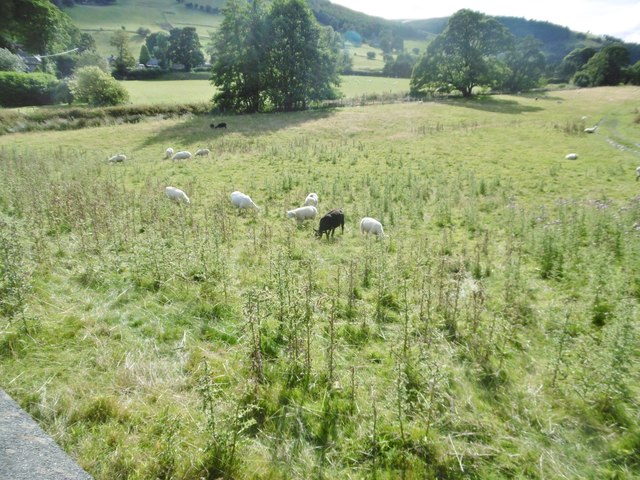
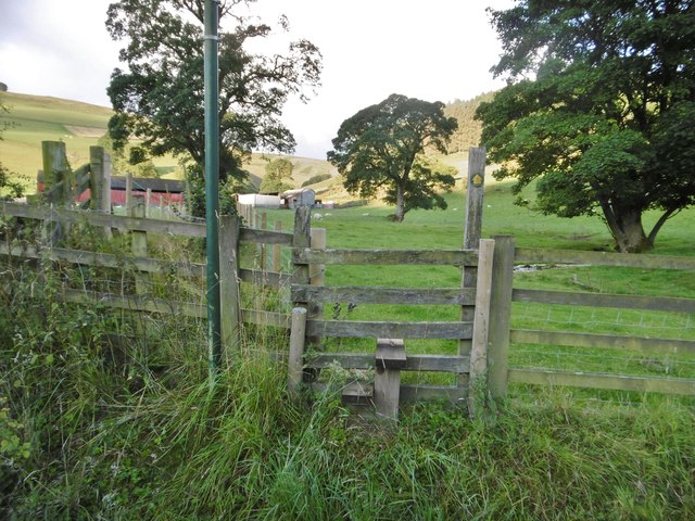
The Warren boasts a diverse range of tree species, including oak, beech, and birch, which create a rich and vibrant canopy. The forest floor is adorned with a carpet of wildflowers and ferns, adding to the enchanting atmosphere. This thriving ecosystem provides a habitat for various wildlife, such as deer, foxes, and a variety of bird species.

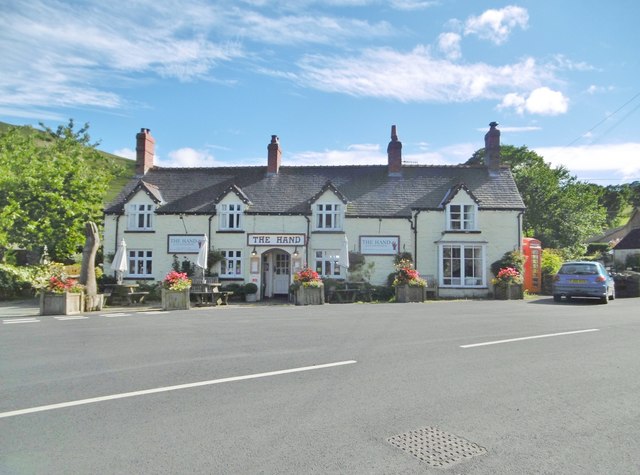
Visitors to The Warren can enjoy a plethora of activities. The wood offers several trails, ranging in length and difficulty, which are perfect for walking, hiking, or jogging. These trails provide an opportunity to explore the wood's beauty while enjoying the peaceful sounds of nature. Additionally, there are designated picnic areas where visitors can relax and soak in the surroundings.

The Warren is also known for its historical significance. It is believed that the wood was once part of the hunting grounds belonging to the medieval Denbigh Castle. The area is steeped in ancient folklore, with legends of mythical creatures and hidden treasure adding an air of mystique to the wood.

Overall, The Warren in Denbighshire is a captivating destination for nature lovers and history enthusiasts alike. Its verdant forest, abundant wildlife, and rich history make it an ideal place to reconnect with nature and immerse oneself in the beauty of the Welsh countryside.

If you have any feedback on the listing, please let us know in the comments section below.

The Warren Images

Images are sourced within 2km of 52.900272/-3.2595357 or Grid Reference SJ1534. Thanks to Geograph Open Source API. All images are credited.

Milestone - Chirk 11
Ordnance Survey Rivet This OS rivet can be found on the top of the milestone. It marks a point 254.054m above mean sea level. <a title="https://www.geograph.org.uk/photo/4608463" href="https://www.geograph.org.uk/photo/4608463">Link</a>
Ordnance Survey Rivet
This OS rivet can be found on the top of the milestone. It marks a point 254.054m above mean sea level. Link
Milestone - Chirk 10 There is an Ordnance Survey rivet on the top of the milestone. <a title="https://www.geograph.org.uk/photo/4608453" href="https://www.geograph.org.uk/photo/4608453">Link</a>
Milestone - Chirk 10
There is an Ordnance Survey rivet on the top of the milestone. Link
Ordnance Survey Cut Mark This OS cut mark can be found on the south face of St Garmon's Church. It marks a point 267.750m above mean sea level.
Ordnance Survey Cut Mark
This OS cut mark can be found on the south face of St Garmon's Church. It marks a point 267.750m above mean sea level.
Approaching Llanarmon Dyffryn Ceiriog The hill is called Maengwyn
Approaching Llanarmon Dyffryn Ceiriog
The hill is called Maengwyn
Tregeiriog, Ceiriog Valley Looking towards Ty'n-y-fedw.
Tregeiriog, Ceiriog Valley
Looking towards Ty'n-y-fedw.
Llanarmon Dyffryn Ceiriog, Hand Historic inn & hotel at the end of B4500, symbolised by the large wooden hand front left. Once farmhouse, later drover's inn, now hotel with spa. Reception to front, with original kitchen range; bar back left, with games room further back; dining room at the back. Good Beer Guide-listed; cask ales on offer at my visit: Stonehouse Station Bitter, Weetwood Cheshire Cat. Exposed stone walls, wooden beams.
Llanarmon Dyffryn Ceiriog, Hand
Historic inn & hotel at the end of B4500, symbolised by the large wooden hand front left. Once farmhouse, later drover's inn, now hotel with spa. Reception to front, with original kitchen range; bar back left, with games room further back; dining room at the back. Good Beer Guide-listed; cask ales on offer at my visit: Stonehouse Station Bitter, Weetwood Cheshire Cat. Exposed stone walls, wooden beams.
Llanarmon Dyffryn Ceiriog, Afon Ceiriog Looking upstream from Llanarmon Bridge.
Llanarmon Dyffryn Ceiriog, Afon Ceiriog
Looking upstream from Llanarmon Bridge.
Llanarmon Dyffryn Ceiriog, sheep grazing On the Ceiriog plain, seen from Llanarmon Bridge.
Llanarmon Dyffryn Ceiriog, sheep grazing
On the Ceiriog plain, seen from Llanarmon Bridge.
Llanarmon Dyffryn Ceiriog, Centenary Hall Next to Afon Ceiriog, in the village centre: <span class="nowrap"><a title="https://www.hallshire.com/halls/view/2840/llanarmon-centenary-hall" rel="nofollow ugc noopener" href="https://www.hallshire.com/halls/view/2840/llanarmon-centenary-hall">Link</a><img style="margin-left:2px;" alt="External link" title="External link - shift click to open in new window" src="https://s1.geograph.org.uk/img/external.png" width="10" height="10"/></span>
Llanarmon Dyffryn Ceiriog, Centenary Hall
Next to Afon Ceiriog, in the village centre: LinkExternal link
Llanarmon Dyffryn Ceiriog, St. Garmon's Church in Wales parish church, built 1846 on a much earlier site, from C5. Simple nave and gallery. Listed by CADW, Grade II: <span class="nowrap"><a title="http://www.britishlistedbuildings.co.uk/300081150-church-of-st-garmon-ceiriog-ucha#.WYyXrXUwgqA" rel="nofollow ugc noopener" href="http://www.britishlistedbuildings.co.uk/300081150-church-of-st-garmon-ceiriog-ucha#.WYyXrXUwgqA">Link</a><img style="margin-left:2px;" alt="External link" title="External link - shift click to open in new window" src="https://s1.geograph.org.uk/img/external.png" width="10" height="10"/></span>
Llanarmon Dyffryn Ceiriog, St. Garmon's
Church in Wales parish church, built 1846 on a much earlier site, from C5. Simple nave and gallery. Listed by CADW, Grade II: LinkExternal link
Llanarmon Dyffryn Ceiriog, chapel Tabernacl Addoldy Wesleyaido, dated 1911; the building appears to be disused.
Llanarmon Dyffryn Ceiriog, chapel
Tabernacl Addoldy Wesleyaido, dated 1911; the building appears to be disused.
Llanarmon Dyffryn Ceiriog, Ysgol LDC Village primary school. <span class="nowrap"><a title="https://cvf.cymru/ysgol-llanarmon-dc/" rel="nofollow ugc noopener" href="https://cvf.cymru/ysgol-llanarmon-dc/">Link</a><img style="margin-left:2px;" alt="External link" title="External link - shift click to open in new window" src="https://s1.geograph.org.uk/img/external.png" width="10" height="10"/></span>
Llanarmon Dyffryn Ceiriog, Ysgol LDC
Village primary school. LinkExternal link
Llanarmon Dyffryn Ceiriog, West Arms Historic inn overlooking the village crossroads, at the end of B4500. Wooden beams, open fireplace, a variety of rooms at back with bar lounge; large garden with views over farmland. Cask ale on offer at my visit: Sharp's Doom Bar. The building is listed by CADW: <span class="nowrap"><a title="http://www.britishlistedbuildings.co.uk/300001305-the-west-arms-hotel-ceiriog-ucha#.WYyd53UwgqA" rel="nofollow ugc noopener" href="http://www.britishlistedbuildings.co.uk/300001305-the-west-arms-hotel-ceiriog-ucha#.WYyd53UwgqA">Link</a><img style="margin-left:2px;" alt="External link" title="External link - shift click to open in new window" src="https://s1.geograph.org.uk/img/external.png" width="10" height="10"/></span>
Llanarmon Dyffryn Ceiriog, West Arms
Historic inn overlooking the village crossroads, at the end of B4500. Wooden beams, open fireplace, a variety of rooms at back with bar lounge; large garden with views over farmland. Cask ale on offer at my visit: Sharp's Doom Bar. The building is listed by CADW: LinkExternal link
Llanarmon Dyffryn Ceiriog, minor road From the village to Pentre, where the road becomes an "other route with public access".
Llanarmon Dyffryn Ceiriog, minor road
From the village to Pentre, where the road becomes an "other route with public access".
Llanarmon Dyffryn Ceiriog, stile At the beginning of the footpath up the valley of Pant Sarffle and back to the village.
Llanarmon Dyffryn Ceiriog, stile
At the beginning of the footpath up the valley of Pant Sarffle and back to the village.
Llanarmon Dyffryn Ceiriog, rams Handsome horned rams, grazing next to Nant Sarffle.
Llanarmon Dyffryn Ceiriog, rams
Handsome horned rams, grazing next to Nant Sarffle.
Llanarmon Dyffryn Ceiriog, Sarffle Farm Sheep farm on the Sarffle valley.
Llanarmon Dyffryn Ceiriog, Sarffle Farm
Sheep farm on the Sarffle valley.
Show me another place!

The Warren is located at Grid Ref: SJ1534 (Lat: 52.900272, Lng: -3.2595357)

Unitary Authority: Wrexham

Police Authority: North Wales

What 3 Words

///inched.decking.promises. Near Llanrhaeadr-ym-Mochnant, Powys

Related Wikis

Ceiriog Ucha

Ceiriog Ucha, also spelled as Ceiriog Uchaf (meaning "Upper Ceiriog"), is a community in Wrexham County Borough, Wales. The community lies in the Ceiriog...

Llanarmon Dyffryn Ceiriog

Llanarmon Dyffryn Ceiriog (; often referred to as Llanarmon DC or locally simply as Llanarmon) is a village in Wrexham County Borough, Wales. It lies on...

Tregeiriog

Tregeiriog (a Welsh name translating roughly as "settlement [on the] River Ceiriog") is a village in Wrexham County Borough, Wales. It is in the community...

Pandy, Ceiriog Valley

Pandy () is a hamlet in the Ceiriog Valley, Wrexham County Borough, Wales. It is located on the confluence of the River Ceiriog to the east, and the smaller...

Ceiriog Valley

The Ceiriog Valley (Welsh: Dyffryn Ceiriog) is the valley of the River Ceiriog in north-east Wales. Its Welsh name, "Dyffryn Ceiriog", is the name of an...
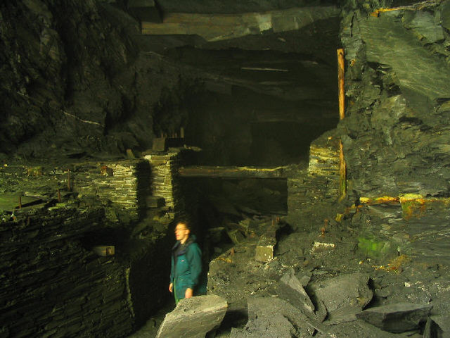
Cambrian quarry

The Cambrian quarry was a slate quarry, located to the west of Glyn Ceiriog in Denbighshire, North Wales. There was some small-scale extraction of slate...
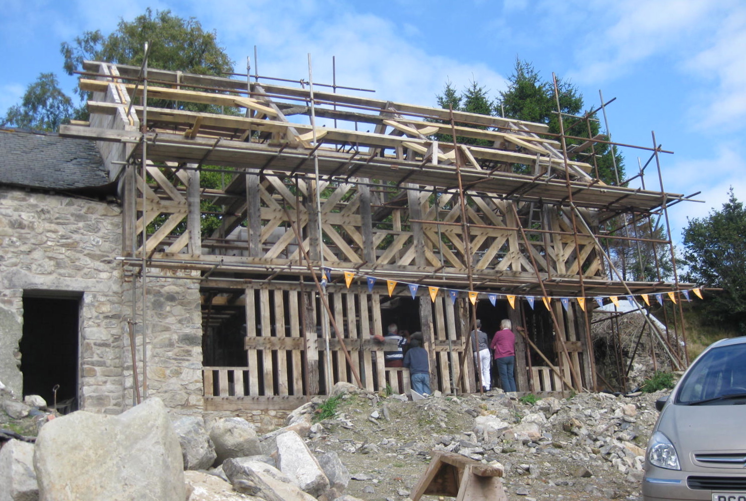
Glas Hirfryn

Glas Hirfryn is a farm in Cwmdu, at east side of the road through the valley of the Lleiriog on the southern side of the Berwyn Mountains. It is in the...

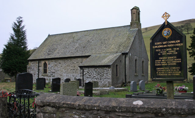
Llangadwaladr, Powys

Llangadwaladr (), formerly spelt Llancadwaladr in some sources, is an isolated mountain parish in Powys, Wales. It was formerly in the historic county...

Nearby Amenities

Located within 500m of 52.900272,-3.2595357
Mynydd Bach
Ele: 482
Natural: peak
Wikidata: Q106709715
Lat/Long: 52.8975205/-3.2653369
The data included in this document is from www.openstreetmap.org. The data is made available under ODbL.

Have you been to The Warren?

Leave your review of The Warren below (or comments, questions and feedback).