Coed Glan-llyn
Wood, Forest in Flintshire
Wales
Coed Glan-llyn
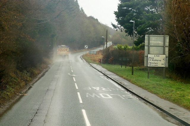
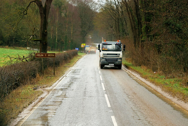
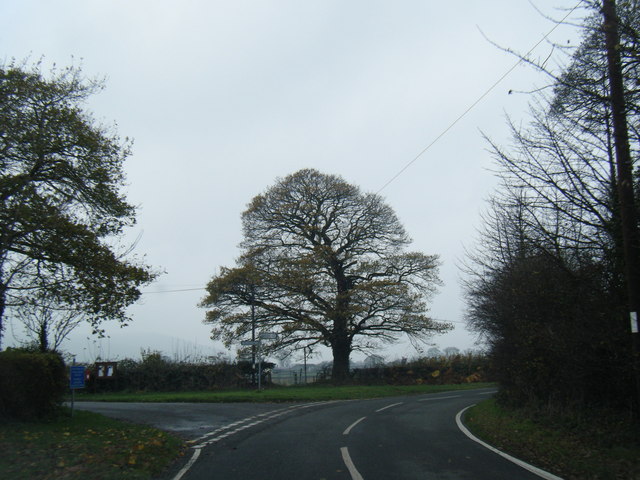
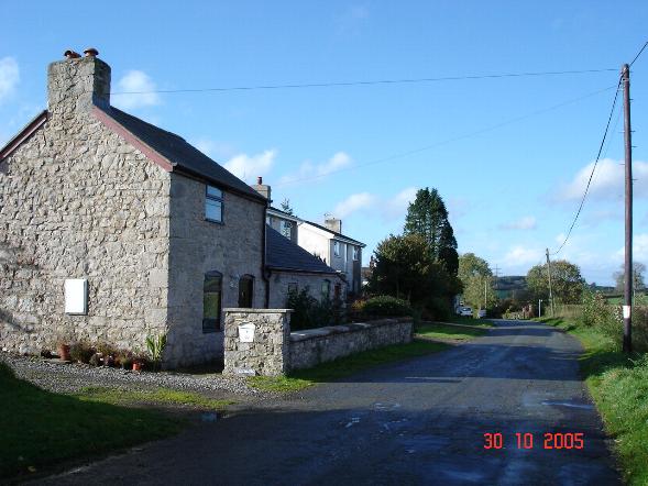
Coed Glan-llyn, located in Flintshire, is a stunning woodland area situated in the northeastern part of Wales. Spanning over a vast expanse, the wood is surrounded by picturesque landscapes and breathtaking views. It is a haven for nature enthusiasts, hikers, and those seeking tranquility away from the hustle and bustle of city life.
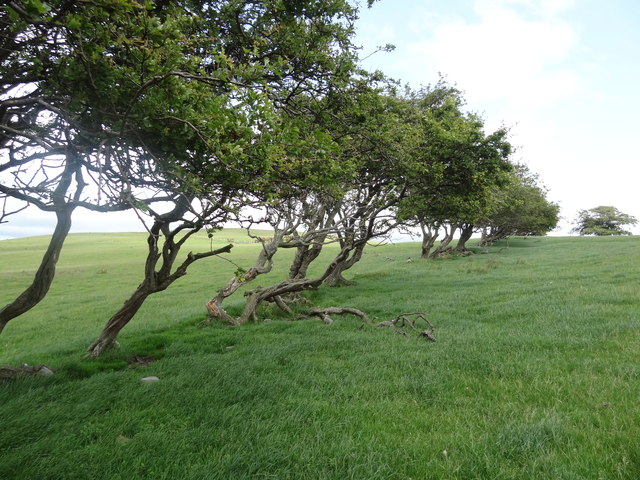
The woodland is home to a diverse range of flora and fauna, making it a thriving ecosystem. Towering trees, including oak, beech, and birch, dominate the landscape, creating a dense canopy that provides shade and shelter for various wildlife species. Visitors can witness the beauty of wildflowers blooming during the spring and summer seasons, adding vibrant colors to the surroundings.
Tranquil streams and small water bodies can be found meandering through the woodland, adding to its natural charm. These water sources serve as habitats for amphibians, such as frogs and newts, while also attracting an array of bird species, including kingfishers and herons.
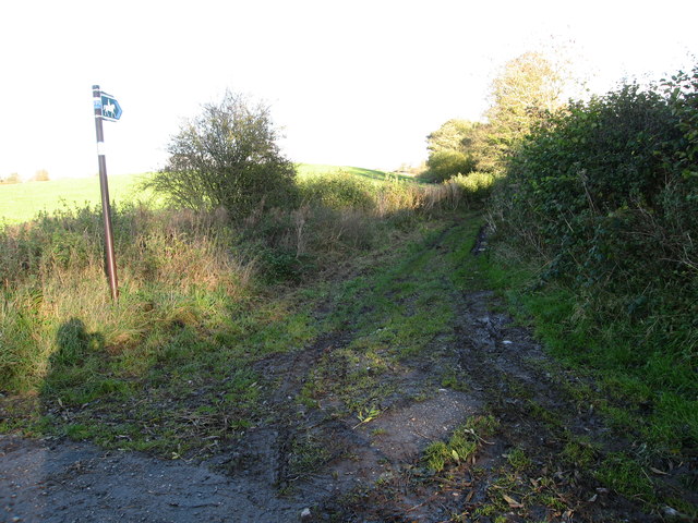
Coed Glan-llyn offers an extensive network of well-maintained walking trails, allowing visitors to explore the wood at their own pace. These trails cater to different levels of difficulty, ensuring that both beginners and experienced hikers can enjoy the wood to its fullest. Additionally, there are designated picnic areas and benches strategically placed throughout the wood, providing visitors with opportunities to rest and enjoy the tranquil surroundings.
Overall, Coed Glan-llyn is a haven for nature lovers, offering a serene escape into the heart of nature. Its diverse ecosystem, scenic beauty, and well-maintained trails make it a must-visit destination in Flintshire, Wales.
If you have any feedback on the listing, please let us know in the comments section below.
Coed Glan-llyn Images
Images are sourced within 2km of 53.228972/-3.277059 or Grid Reference SJ1470. Thanks to Geograph Open Source API. All images are credited.


Coed Glan-llyn is located at Grid Ref: SJ1470 (Lat: 53.228972, Lng: -3.277059)
Unitary Authority: Flintshire
Police Authority: North Wales
What 3 Words
///worms.besotted.money. Near Halkyn, Flintshire
Nearby Locations
Related Wikis
Ysceifiog
Ysceifiog, also spelled as Ysgeifiog, is a village, community and parish in Flintshire, Wales. It lies on a back road just north of the A541 highway between...

Ddol Uchaf
Ddol Uchaf (also known as Y Ddol Uchaf) is a Site of Special Scientific Interest located near Ysceifiog, Flintshire, Wales. It has been selected as an...
Babell
Babell is a hamlet in Flintshire, Wales. It is part of the community of Ysgeifiog. The hamlet takes its name from the Babell Methodist chapel, built in...
Afonwen
Afonwen ([ˌavɔnˈwɛn]; Welsh: Afon-wen) is a village in Flintshire, Wales. It is situated just under four miles from the A55 North Wales Expressway and...
Lixwm
Licswm is a small village in Flintshire, Wales. It is part of the community of Ysceifiog. Licswm was formerly a mining village, and one explanation of...

Caerwys Tufa
Caerwys Tufa is a Site of Special Scientific Interest in the preserved county of Clwyd, north Wales. Tufa, a very soft limestone that was once used to...
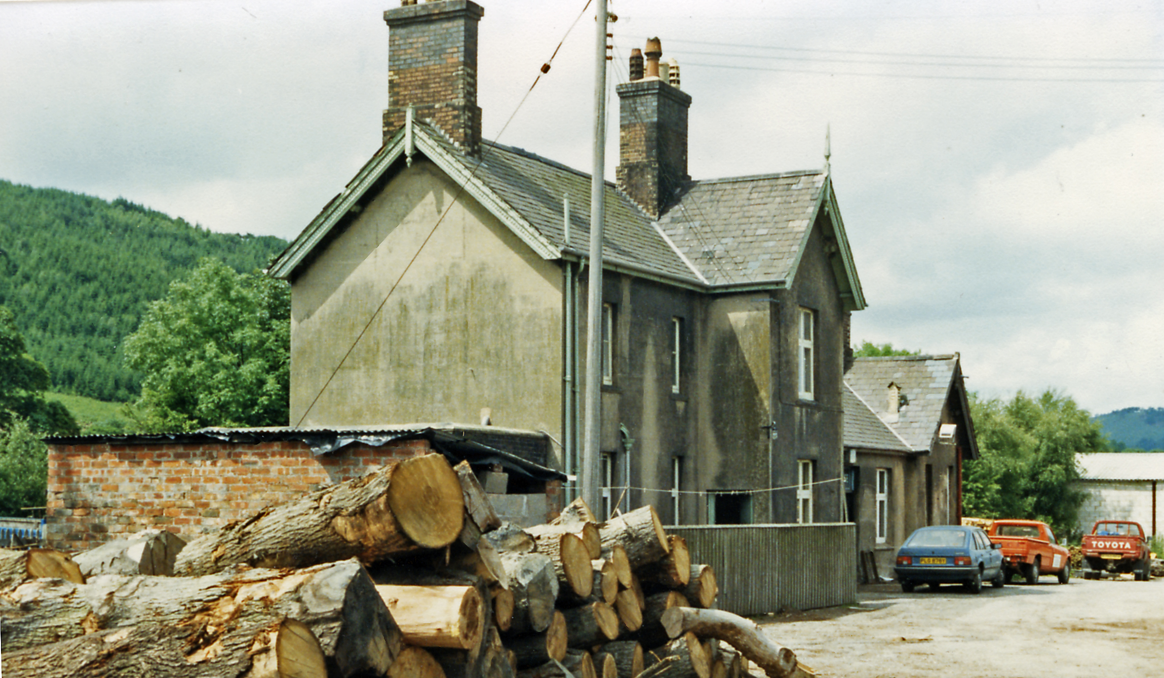
Caerwys railway station
Caerwys railway station was a station in Afonwen, Flintshire, Wales. The station was named for nearby Caerwys, opened on 6 September 1869 and closed on...
Nannerch
Nannerch is a village and community in Flintshire, Wales, located within the Clwydian Range and Dee Valley Area of Outstanding Natural Beauty. At the 2001...
Nearby Amenities
Located within 500m of 53.228972,-3.277059Have you been to Coed Glan-llyn?
Leave your review of Coed Glan-llyn below (or comments, questions and feedback).