Coed D'Arcis
Wood, Forest in Flintshire
Wales
Coed D'Arcis
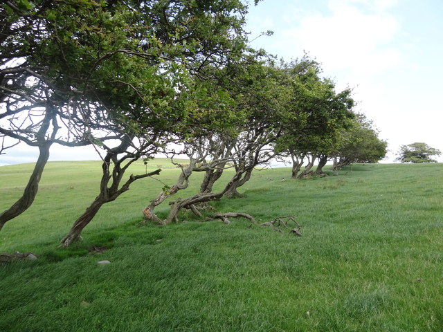
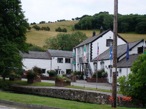
Coed D'Arcis is a picturesque woodland located in Flintshire, Wales. Covering an area of approximately 50 hectares, it is a popular destination for nature enthusiasts and outdoor enthusiasts alike. The woodland is situated near the village of Lixwm, and its stunning natural beauty attracts visitors from near and far.
The forest is primarily composed of native deciduous trees, such as oak, birch, and beech, creating a diverse and rich habitat for a wide range of flora and fauna. The forest floor is adorned with a carpet of bluebells and wildflowers during the spring season, creating a vibrant and colorful landscape.
Coed D'Arcis offers a variety of walking trails, ranging from gentle strolls to more challenging hikes, allowing visitors to explore the woodland at their own pace. The trails are well-maintained and clearly marked, ensuring a safe and enjoyable experience for all.
The forest is also home to a variety of wildlife, including red squirrels, badgers, and several species of birds. Nature enthusiasts can observe and appreciate the diverse ecosystem as they wander through the woodland.
For those seeking solitude and tranquility, Coed D'Arcis provides a peaceful retreat away from the hustle and bustle of daily life. The serene atmosphere and natural beauty make it an ideal location for relaxation and reflection.
Overall, Coed D'Arcis is a hidden gem in Flintshire, offering a haven of natural beauty and tranquility. Whether you're an avid hiker, a wildlife enthusiast, or simply looking for a peaceful escape, this woodland is sure to enchant and captivate all who visit.
If you have any feedback on the listing, please let us know in the comments section below.
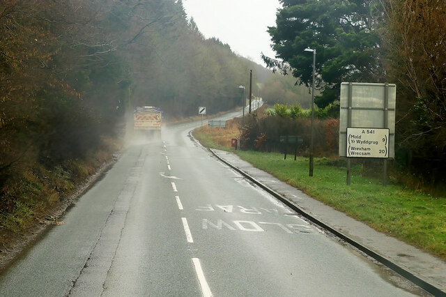
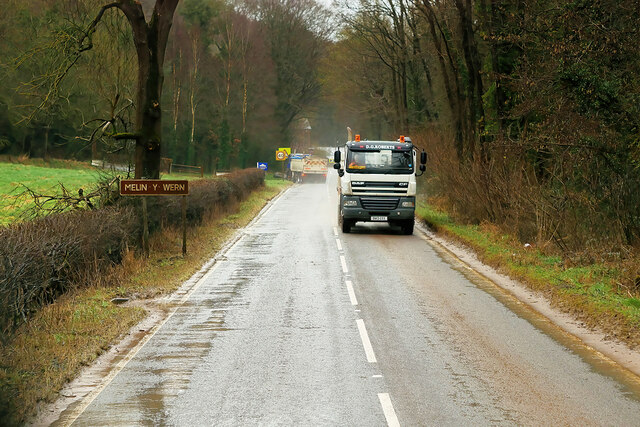
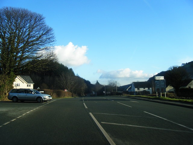
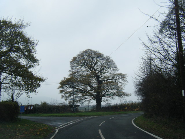
Coed D'Arcis Images
Images are sourced within 2km of 53.228626/-3.279146 or Grid Reference SJ1470. Thanks to Geograph Open Source API. All images are credited.


Coed D'Arcis is located at Grid Ref: SJ1470 (Lat: 53.228626, Lng: -3.279146)
Unitary Authority: Flintshire
Police Authority: North Wales
What 3 Words
///joints.familiar.destiny. Near Whitford, Flintshire
Nearby Locations
Related Wikis
Ysceifiog
Ysceifiog, also spelled as Ysgeifiog, is a village, community and parish in Flintshire, Wales. It lies on a back road just north of the A541 highway between...

Ddol Uchaf
Ddol Uchaf (also known as Y Ddol Uchaf) is a Site of Special Scientific Interest located near Ysceifiog, Flintshire, Wales. It has been selected as an...
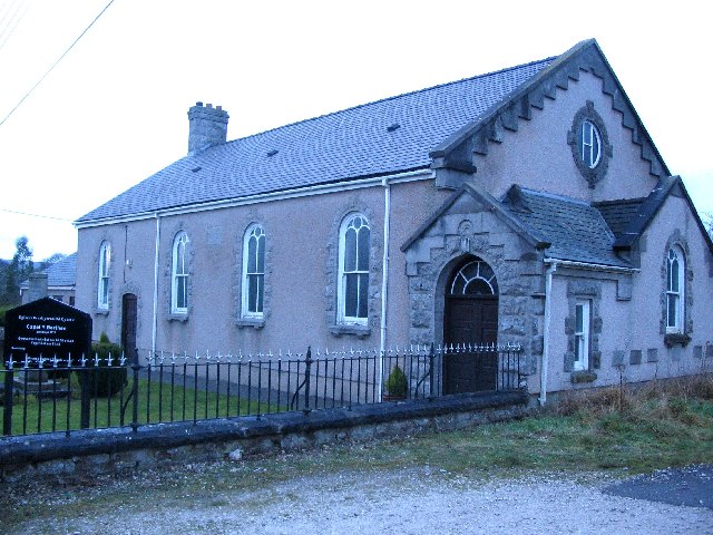
Babell
Babell is a hamlet in Flintshire, Wales. It is part of the community of Ysgeifiog. The hamlet takes its name from the Babell Methodist chapel, built in...
Afonwen
Afonwen ([ˌavɔnˈwɛn]; Welsh: Afon-wen) is a village in Flintshire, Wales. It is situated just under four miles from the A55 North Wales Expressway and...

Caerwys Tufa
Caerwys Tufa is a Site of Special Scientific Interest in the preserved county of Clwyd, north Wales. Tufa, a very soft limestone that was once used to...
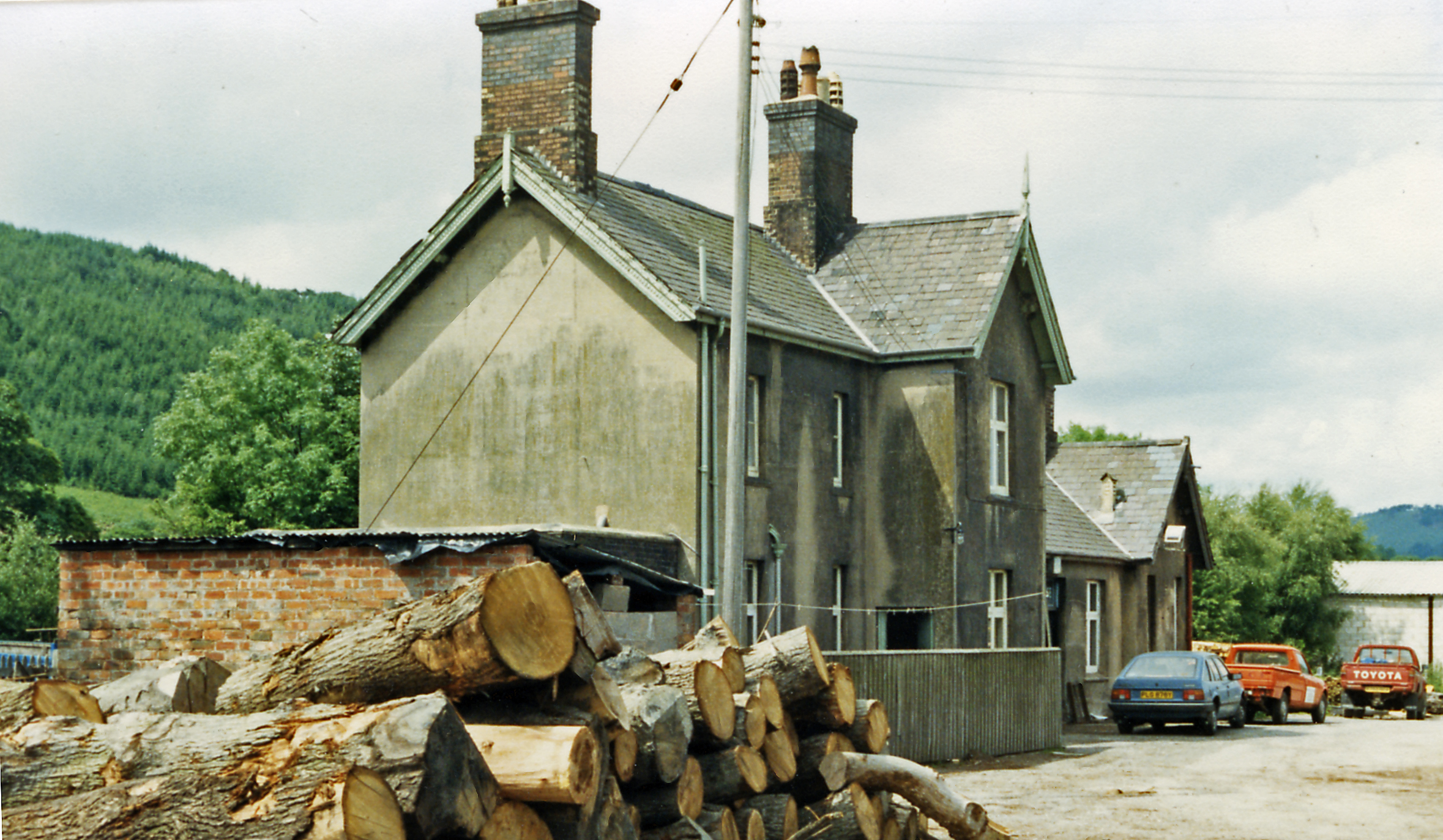
Caerwys railway station
Caerwys railway station was a station in Afonwen, Flintshire, Wales. The station was named for nearby Caerwys, opened on 6 September 1869 and closed on...
Lixwm
Lixwm (Welsh: Licswm) is a small village in Flintshire, Wales. It is part of the community of Ysceifiog. Lixwm was formerly a mining village, and one explanation...
Nannerch
Nannerch is a village and community in Flintshire, Wales, located within the Clwydian Range and Dee Valley Area of Outstanding Natural Beauty. At the 2001...
Nearby Amenities
Located within 500m of 53.228626,-3.279146Have you been to Coed D'Arcis?
Leave your review of Coed D'Arcis below (or comments, questions and feedback).