Cabbage Hill

Settlement in Berkshire

England

Cabbage Hill

Temple Way, Bracknell
Temple Way, Bracknell Credit: Robin Webster

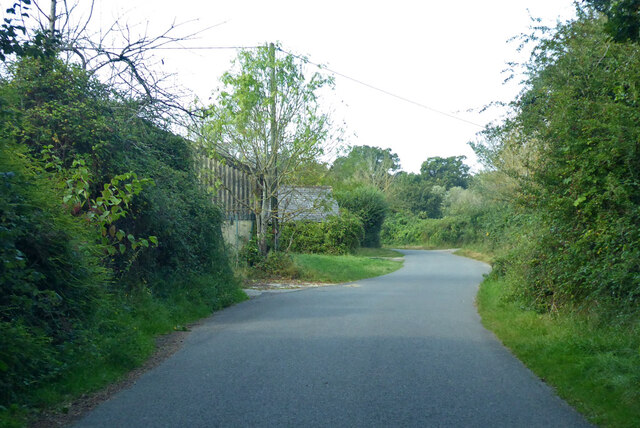
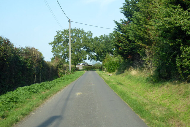
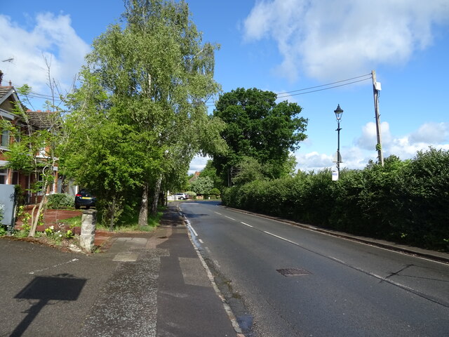
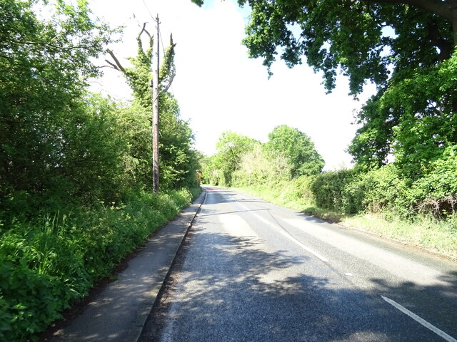
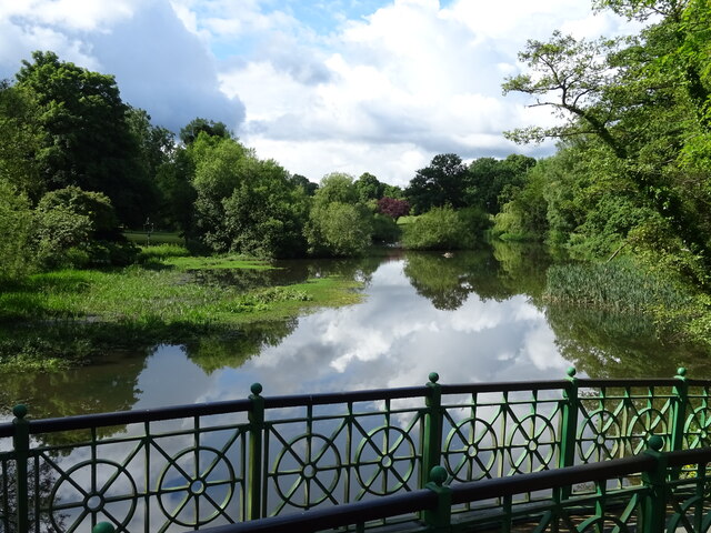
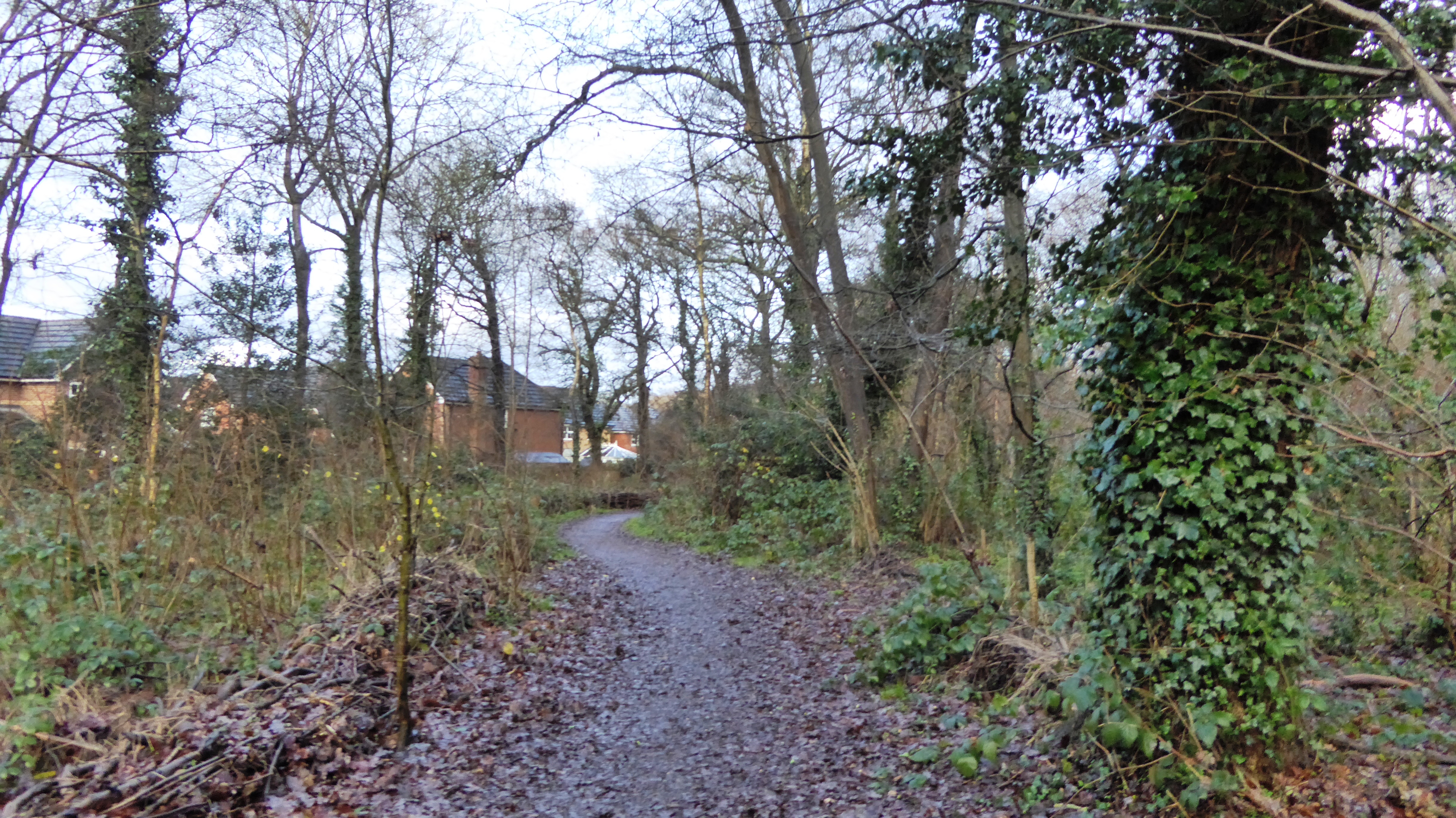
Cabbage Hill is a small village located in the county of Berkshire, in England. Situated in the southern part of the county, Cabbage Hill is known for its picturesque countryside and charming rural atmosphere. The village is surrounded by rolling hills and green fields, offering residents and visitors alike a tranquil and scenic environment.

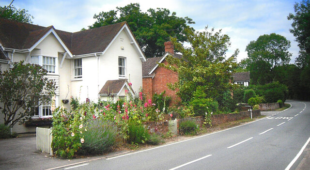
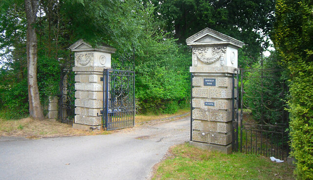
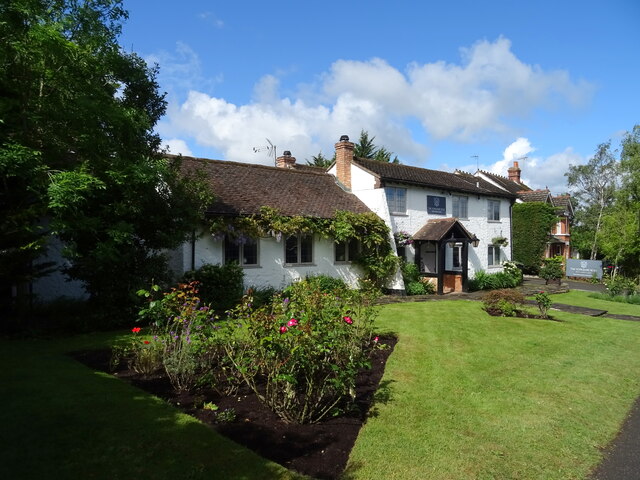
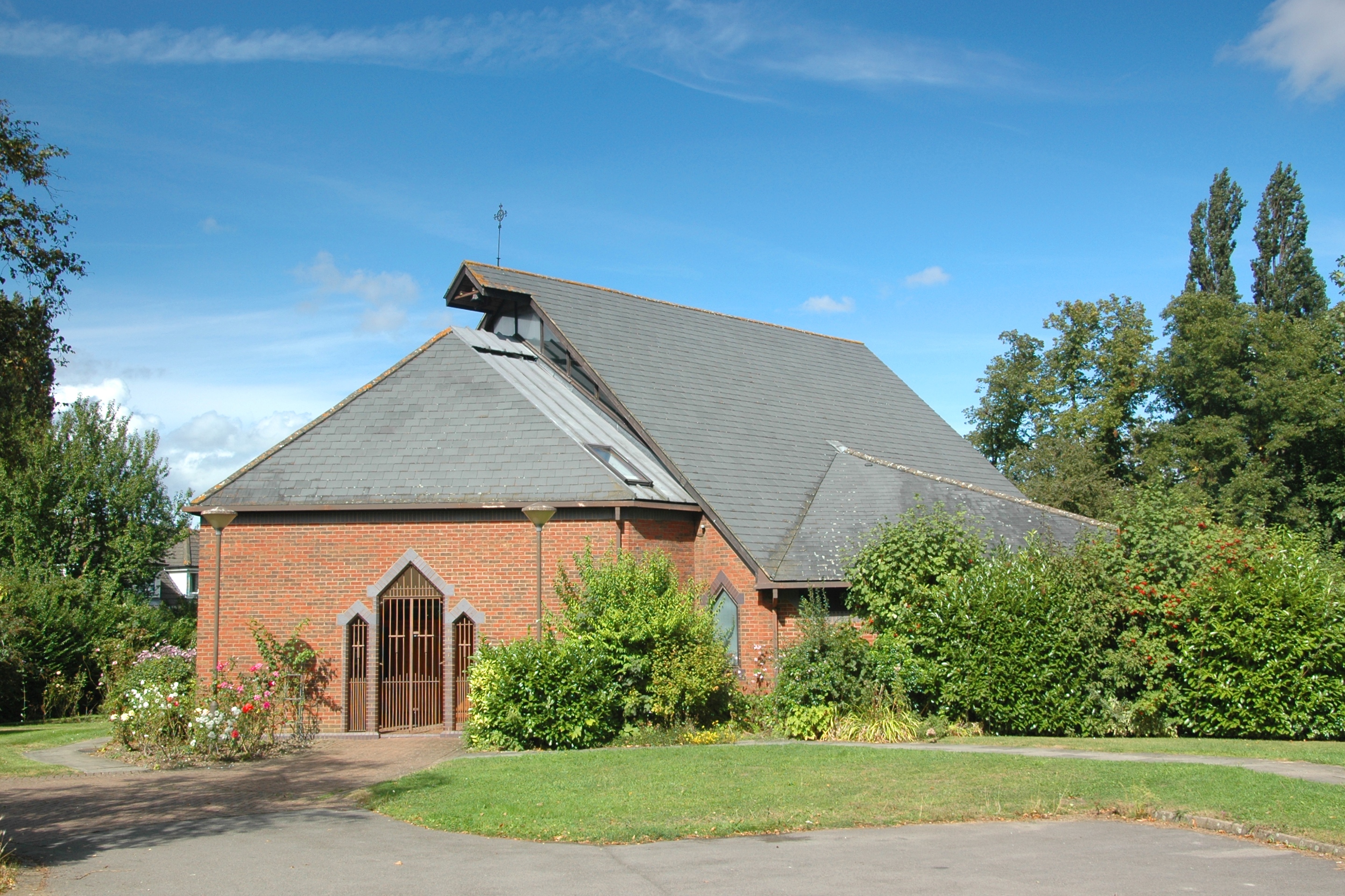
Despite its small size, Cabbage Hill has a rich history that dates back centuries. The village is home to several historic buildings, including a 12th-century church that stands as a testament to its past. The architecture in the area is predominantly traditional, with many stone cottages and farmhouses adding to the village's overall charm.

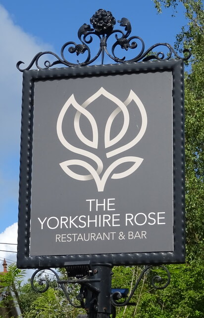
The community in Cabbage Hill is close-knit and friendly. The village has a small population, and residents often engage in various community activities and events. The local pub serves as a focal point for social gatherings and provides a warm and welcoming atmosphere for both locals and tourists.

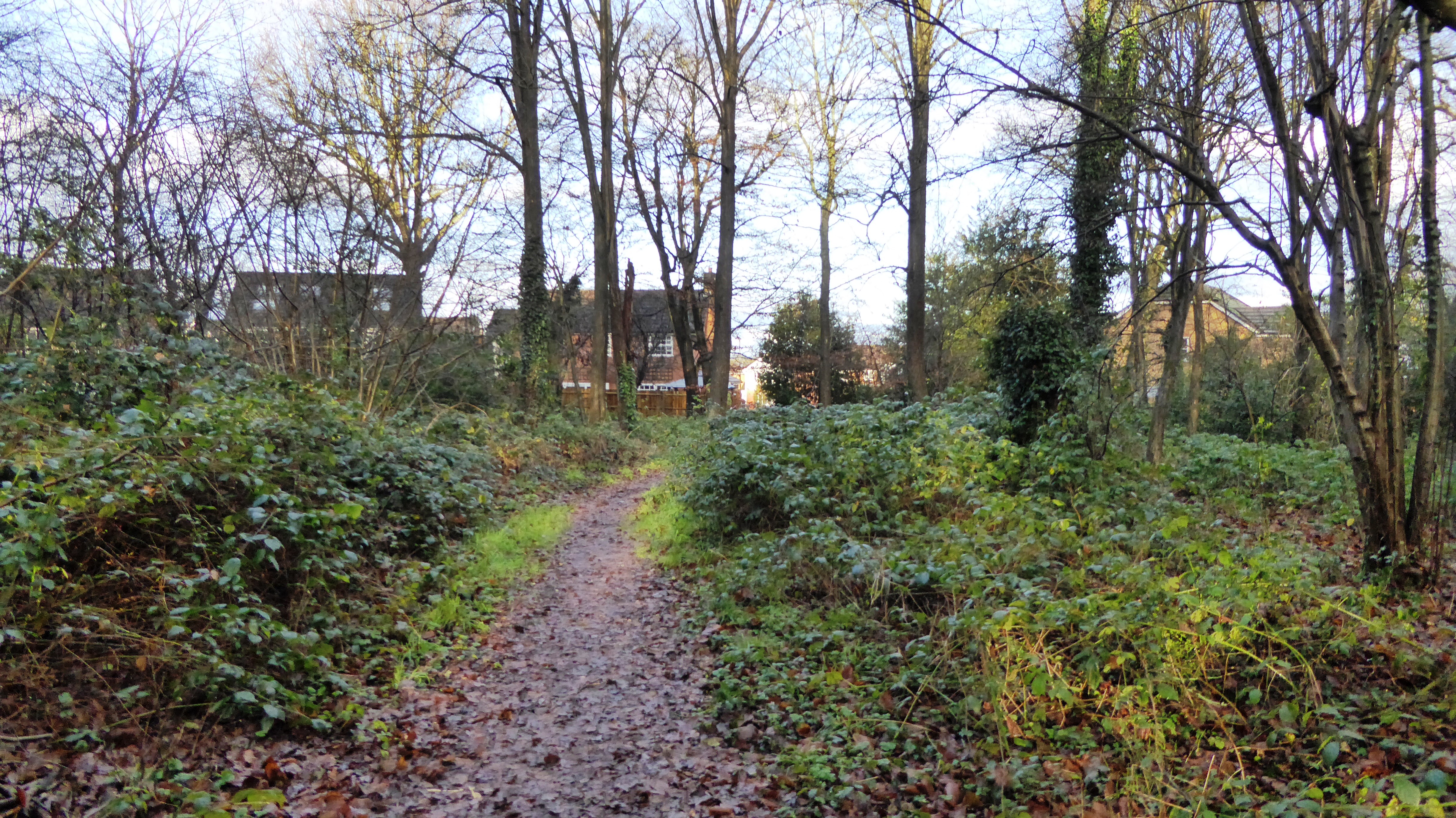
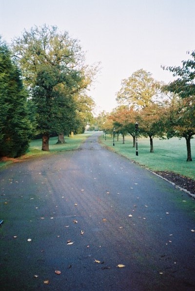
The surrounding countryside offers numerous walking and cycling trails, allowing visitors to explore the natural beauty of the area. Additionally, Cabbage Hill is located near several other notable attractions, such as historic market towns and picturesque villages, providing visitors with a range of options for exploration and entertainment.

In summary, Cabbage Hill is a delightful village in Berkshire that offers a perfect blend of historical charm and natural beauty. Whether it's exploring the local heritage, enjoying the tranquil countryside, or immersing oneself in the friendly community atmosphere, Cabbage Hill has something to offer for everyone.

If you have any feedback on the listing, please let us know in the comments section below.
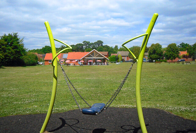
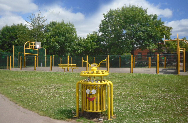
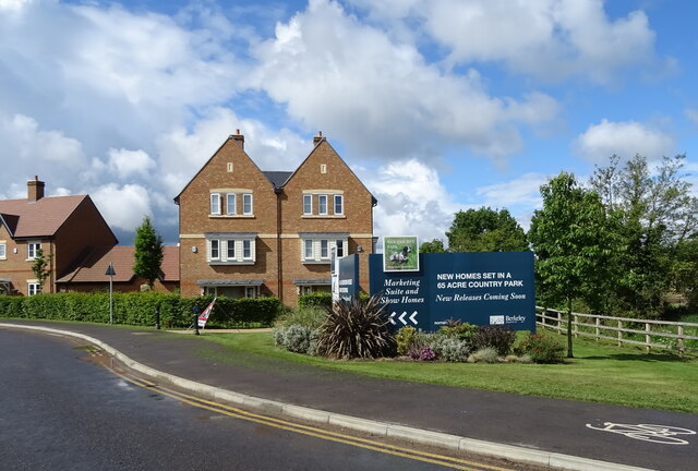
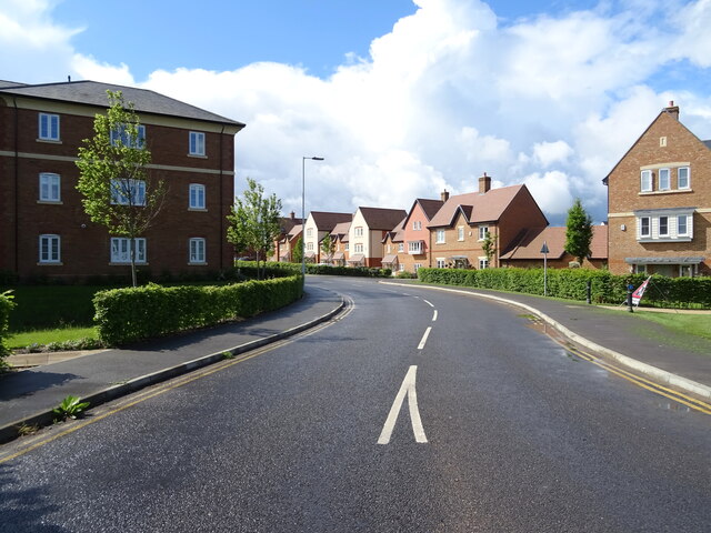
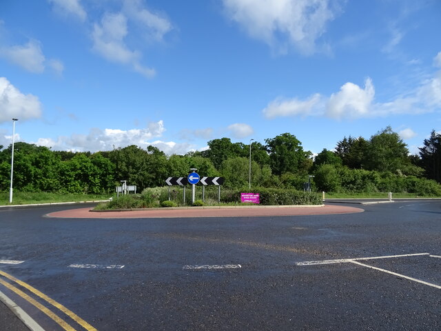
Cabbage Hill Images

Images are sourced within 2km of 51.431486/-0.764293 or Grid Reference SU8671. Thanks to Geograph Open Source API. All images are credited.

Temple Way, Bracknell
Cabbage Hill Lane By Ryehurst Farm.
Cabbage Hill Lane
By Ryehurst Farm.
Ryehurst Lane Heading north in the general direction of Maidenhead.
Ryehurst Lane
Heading north in the general direction of Maidenhead.
Terrace Road North, Binfield Houses at the north end of the village, the nearest one with some fine hollyhocks in front.
Terrace Road North, Binfield
Houses at the north end of the village, the nearest one with some fine hollyhocks in front.
Binfield Park Entrance Gates The driveway to a sizeable 18th century country house.
Binfield Park Entrance Gates
The driveway to a sizeable 18th century country house.
Foxley Fields, Binfield A suburban park with sports and play areas and a cafe in the building which is shared with the parish council offices.
Foxley Fields, Binfield
A suburban park with sports and play areas and a cafe in the building which is shared with the parish council offices.
Basketball & Bin On Foxley Fields Recreation Ground.
Basketball & Bin
On Foxley Fields Recreation Ground.
House on the B3034
House on the B3034
B3034, Newell Green
B3034, Newell Green
House, Newell Green
House, Newell Green
The Yorkshire Rose, Newell Green
Sign for the Yorkshire Rose, Newell Green See <a href="https://www.geograph.org.uk/photo/7280477">SU8771 : The Yorkshire Rose, Newell Green</a> for context.
Sign for the Yorkshire Rose, Newell Green
Forest Road (A3095), Newell Green
Woodhurst Park New housing development, Warfield.
Woodhurst Park
New housing development, Warfield.
Woodhurst Park New housing development, Warfield.
Woodhurst Park
New housing development, Warfield.
Roundabout on the B3034
B3034 towards Binfield
The Cut, Binfield Manor
Show me another place!

Cabbage Hill is located at Grid Ref: SU8671 (Lat: 51.431486, Lng: -0.764293)

Unitary Authority: Bracknell Forest

Police Authority: Thames Valley

What 3 Words

///bill.sock.teams. Near Binfield, Berkshire

Related Wikis

Tinkers Copse

Tinkers Copse is a 1.9-hectare (4.7-acre) Local Nature Reserve on the northwestern outskirts of Bracknell in Berkshire. It is owned and managed by Bracknell...

Jock's Copse

Jock's Copse is a 1.5-hectare (3.7-acre) Local Nature Reserve on the northern outskirts of Bracknell in Berkshire. It is owned and managed by Bracknell...

Temple Park

Temple Park is a suburb of Bracknell in the English county of Berkshire and part of the civil parish of Binfield. It was built during the 1990s as the...

Quelm Park

Quelm Park is a suburb of Bracknell, in Berkshire, England. The settlement lies west of the A3095 road, south of the Bracknell Northern Distributor Road...

Priestwood

Priestwood is a suburb of Bracknell, Berkshire about 1 mile (1.6 km) northwest of the town centre. == Churches == The original Church of England parish...

Temple Copse

Temple Copse is a 1.9-hectare (4.7-acre) Local Nature Reserve on the northwestern outskirts of Bracknell in Berkshire. It is owned and managed by Bracknell...

Piggy Wood

Piggy Wood is a 2.3-hectare (5.7-acre) Local Nature Reserve on the northern outskirts of Bracknell in Berkshire. It is owned and managed by Bracknell...

Warfield Hall

Warfield Hall is a Grade II listed building at Warfield in Berkshire. == History == Warfield Hall was originally built in the 1730s and belonged to the...

Nearby Amenities

Located within 500m of 51.431486,-0.764293
Crossing
Bicycle: yes
Crossing: traffic_signals
Crossing Ref: toucan
Lat/Long: 51.4271758/-0.7661793
Crossing
Bicycle: yes
Crossing: uncontrolled
Crossing Island: yes
Kerb: lowered
Source: survey
Lat/Long: 51.4289776/-0.7696608
Crossing
Bicycle: yes
Crossing: uncontrolled
Crossing Island: yes
Kerb: lowered
Source: survey
Lat/Long: 51.4290688/-0.7696749
Crossing
Bicycle: yes
Crossing: uncontrolled
Crossing Island: yes
Source: survey
Lat/Long: 51.427457/-0.7619606
Crossing
Bicycle: yes
Crossing: uncontrolled
Source: survey
Lat/Long: 51.427659/-0.7618156
Crossing
Bicycle: yes
Crossing: traffic_signals
Crossing Ref: toucan
Source: survey
Lat/Long: 51.4282432/-0.7599505
Traffic Signals
Source: survey
Traffic Signals Direction: forward
Lat/Long: 51.4282735/-0.7598872
Traffic Signals
Source: survey
Traffic Signals Direction: backward
Lat/Long: 51.4282146/-0.76001
Bench
Lat/Long: 51.4275702/-0.7656929
Bench
Lat/Long: 51.4274998/-0.7657118
Barrier: kissing_gate
Lat/Long: 51.4304663/-0.7617471
The Greenway
Bicycle: yes
Board Type: notice
Foot: yes
Information: map
Place: locality
Ref: 2
Tourism: information
Lat/Long: 51.4317343/-0.7602242
Barrier: cycle_barrier
Lat/Long: 51.4292606/-0.7610717
Bicycle: yes
Foot: yes
Information: map
Tourism: information
Lat/Long: 51.4298533/-0.7624361
Barrier: cycle_barrier
Lat/Long: 51.4284539/-0.7598847
Crossing
Crossing: unmarked
Kerb: lowered
Source: survey
Lat/Long: 51.4287336/-0.7607731
Crossing
Crossing: unmarked
Kerb: lowered
Source: survey
Lat/Long: 51.4283654/-0.762096
Barrier: kerb
Kerb: lowered
Tactile Paving: yes
Lat/Long: 51.4313015/-0.7574038
Power: pole
Lat/Long: 51.4282543/-0.7657626
Power: pole
Lat/Long: 51.4290913/-0.7659048
Power: pole
Lat/Long: 51.4301699/-0.7661998
Power: pole
Lat/Long: 51.4312803/-0.7664949
Power: pole
Lat/Long: 51.4323806/-0.7667631
Power: pole
Lat/Long: 51.4332735/-0.7669777
Crossing
Bicycle: yes
Crossing: unmarked
Lat/Long: 51.4313015/-0.7574496
Barrier: bollard
Lat/Long: 51.4295893/-0.759942
Traffic Signals
Traffic Signals: pedestrian_crossing
Traffic Signals Direction: forward
Lat/Long: 51.4271952/-0.7662265
Barrier: kerb
Kerb: lowered
Lat/Long: 51.4274802/-0.7652346
Barrier: kerb
Kerb: lowered
Tactile Paving: yes
Lat/Long: 51.4271628/-0.7661904
Barrier: kerb
Kerb: lowered
Tactile Paving: yes
Lat/Long: 51.4272097/-0.7661505
Barrier: kerb
Kerb: lowered
Tactile Paving: yes
Lat/Long: 51.4276456/-0.7618582
Barrier: kerb
Kerb: lowered
Tactile Paving: yes
Lat/Long: 51.4276721/-0.7617736
Barrier: kerb
Kerb: lowered
Tactile Paving: yes
Lat/Long: 51.4274959/-0.7619919
Barrier: kerb
Kerb: lowered
Tactile Paving: yes
Lat/Long: 51.4274239/-0.7619339
Barrier: kerb
Kerb: lowered
Tactile Paving: yes
Lat/Long: 51.4282747/-0.7599872
Barrier: kerb
Kerb: lowered
Tactile Paving: yes
Lat/Long: 51.4282236/-0.7599277
Bus Stop
Bus: yes
Public Transport: platform
Lat/Long: 51.4284231/-0.7596532
Bus Stop
Bus: yes
Naptan AtcoCode: 0380F407F712
Naptan NaptanCode: bkndmam
Public Transport: platform
Lat/Long: 51.4288374/-0.7585847
Barrier: kerb
Kerb: lowered
Tactile Paving: yes
Lat/Long: 51.4274473/-0.7619527
Barrier: kerb
Kerb: lowered
Tactile Paving: yes
Lat/Long: 51.427469/-0.7619703
Barrier: kerb
Kerb: lowered
Tactile Paving: yes
Lat/Long: 51.4313016/-0.7574782
Barrier: cycle_barrier
Material: wood
Lat/Long: 51.4313017/-0.7575336
Barrier: cycle_barrier
Material: wood
Lat/Long: 51.4313038/-0.7573374
Bench
Lat/Long: 51.431723/-0.7598571
Bench
Lat/Long: 51.4316801/-0.7600537
The data included in this document is from www.openstreetmap.org. The data is made available under ODbL.

Have you been to Cabbage Hill?

Leave your review of Cabbage Hill below (or comments, questions and feedback).