Coed Bron-Fadog

Wood, Forest in Flintshire

Wales

Coed Bron-Fadog

Pwll Gwyn, Afon-wen
Pwll Gwyn, Afon-wen Credit: Chris Andrews

Coed Bron-Fadog is a picturesque woodland situated in Flintshire, Wales. Spanning an area of approximately 100 acres, it is a haven for nature enthusiasts and offers a tranquil escape from the hustle and bustle of everyday life.

The woodland is predominantly composed of broadleaf trees, including oak, beech, and birch, which create a dense canopy overhead, providing shade and shelter for a variety of wildlife. The forest floor is adorned with a carpet of ferns, bluebells, and other wildflowers, adding to the enchanting atmosphere.

Several walking trails wind their way through Coed Bron-Fadog, allowing visitors to explore its natural beauty at their own pace. These paths lead to hidden gems, such as a small stream and a tranquil pond, where visitors can spot an array of aquatic creatures, including frogs and newts.

The woodland is home to a diverse range of wildlife. Birdwatchers can observe species such as the great spotted woodpecker, tawny owl, and various songbirds. Squirrels can be seen darting among the treetops, while foxes and badgers roam the forest floor under the cover of darkness.

Coed Bron-Fadog is not only a haven for wildlife but also a popular destination for recreational activities. It offers opportunities for picnicking, photography, and nature study. The peaceful ambiance and stunning scenery make it an ideal location for individuals seeking solace or families looking for a day out in nature.

Overall, Coed Bron-Fadog is a hidden gem in Flintshire, offering a slice of tranquility and natural beauty to all who visit.

If you have any feedback on the listing, please let us know in the comments section below.

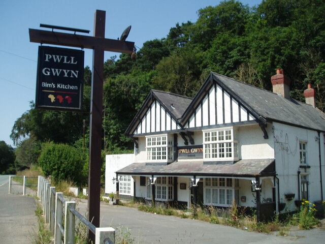
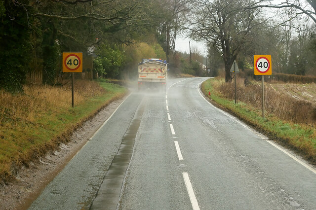
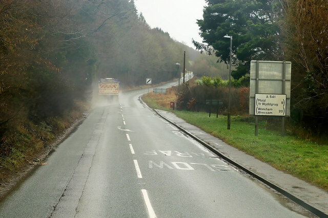
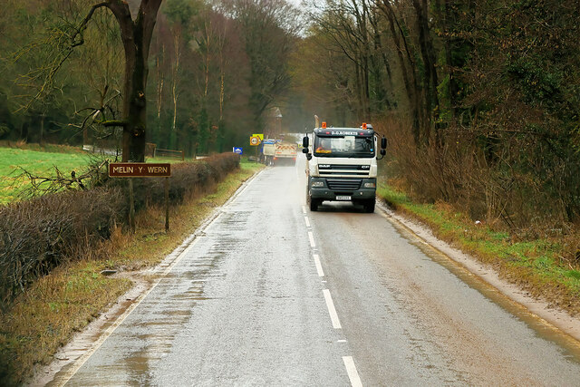
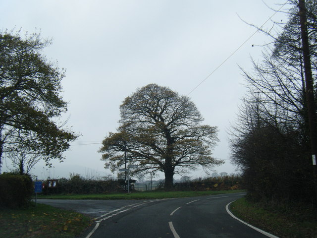
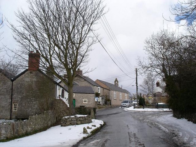
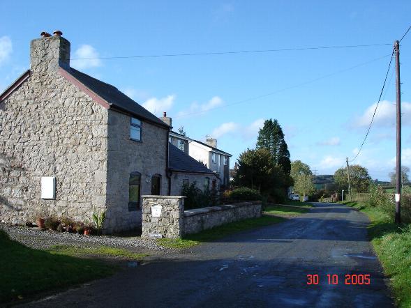
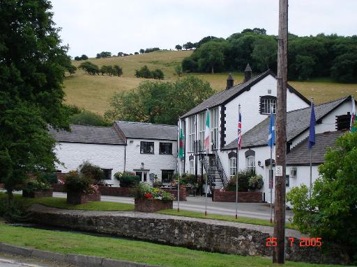
Coed Bron-Fadog Images

Images are sourced within 2km of 53.234442/-3.2842037 or Grid Reference SJ1471. Thanks to Geograph Open Source API. All images are credited.

Pwll Gwyn, Afon-wen
Pwll Gwyn, Afon-wen
A541 approaching Afon-Wen The A541 runs for 26 miles, linking St Asaph with Wrexham. Its northern end starts at the crossroads in the middle of the village of Trefnant (just south of St Asaph). It ends at Wrexham, where it joins the B5101 road. On the way, it passes the town of Mold and also passes through many villages.
A541 approaching Afon-Wen
The A541 runs for 26 miles, linking St Asaph with Wrexham. Its northern end starts at the crossroads in the middle of the village of Trefnant (just south of St Asaph). It ends at Wrexham, where it joins the B5101 road. On the way, it passes the town of Mold and also passes through many villages.
A541 at Afonwen Afonwen is a small village in Flintshire. It is situated on the A541 Mold-Denbigh road.
A541 at Afonwen
Afonwen is a small village in Flintshire. It is situated on the A541 Mold-Denbigh road.
Truck on the A541 DG Roberts' Volvo FM (SA13 DAY) passing a layby on the A541 near to Ysceifiog.
Truck on the A541
DG Roberts' Volvo FM (SA13 DAY) passing a layby on the A541 near to Ysceifiog.
Afonwen, Denbigh Road (A541) The A541 runs for 26 miles, linking St Asaph with Wrexham. Its northern end starts at the crossroads in the middle of the village of Trefnant (just south of St Asaph). It ends at Wrexham, where it joins the B5101 road. On the way, it passes the town of Mold and also passes through many villages.
Afonwen, Denbigh Road (A541)
The A541 runs for 26 miles, linking St Asaph with Wrexham. Its northern end starts at the crossroads in the middle of the village of Trefnant (just south of St Asaph). It ends at Wrexham, where it joins the B5101 road. On the way, it passes the town of Mold and also passes through many villages.
A541 near Swan Wood The A541 runs for 26 miles, linking St Asaph with Wrexham. Its northern end starts at the crossroads in the middle of the village of Trefnant (just south of St Asaph). It ends at Wrexham, where it joins the B5101 road. On the way, it passes the town of Mold and also passes through many villages.
A541 near Swan Wood
The A541 runs for 26 miles, linking St Asaph with Wrexham. Its northern end starts at the crossroads in the middle of the village of Trefnant (just south of St Asaph). It ends at Wrexham, where it joins the B5101 road. On the way, it passes the town of Mold and also passes through many villages.
A541, Melin y Wern The A541 runs for 26 miles, linking St Asaph with Wrexham. Its northern end starts at the crossroads in the middle of the village of Trefnant (just south of St Asaph). It ends at Wrexham, where it joins the B5101 road. On the way, it passes the town of Mold and also passes through many villages.
A541, Melin y Wern
The A541 runs for 26 miles, linking St Asaph with Wrexham. Its northern end starts at the crossroads in the middle of the village of Trefnant (just south of St Asaph). It ends at Wrexham, where it joins the B5101 road. On the way, it passes the town of Mold and also passes through many villages.
Vintage Bentley In British racing green livery. Parked across the road from the Fox Inn, Ysceifiog.
Vintage Bentley
In British racing green livery. Parked across the road from the Fox Inn, Ysceifiog.
A541 at  Afonwen
A541 at Afonwen
A541 looking east
A541 looking east
A541 near Sarn Farm
A541 near Sarn Farm
Former Caerwys station, 1986 View westward, towards Denbigh: ex-LNW Chester - Mold - Denbigh line, closed 30/4/62. It seems that the new owners may have been timber-merchants.
Former Caerwys station, 1986
View westward, towards Denbigh: ex-LNW Chester - Mold - Denbigh line, closed 30/4/62. It seems that the new owners may have been timber-merchants.
South Street, Caerwys Although only really a village, Caerwys proudly claims itself to be the smallest town in Great Britain with a royal charter - and indeed it does have a town council and its own mayor.
South Street, Caerwys
Although only really a village, Caerwys proudly claims itself to be the smallest town in Great Britain with a royal charter - and indeed it does have a town council and its own mayor.
Footpath heading towards Coed-y-Llan wood A diversion through the edge of the more recently extended graveyard beside St Mary's Church, Ysceifiog.  The Clwydian Hills can be seen in the distance on the right
Footpath heading towards Coed-y-Llan wood
A diversion through the edge of the more recently extended graveyard beside St Mary's Church, Ysceifiog. The Clwydian Hills can be seen in the distance on the right
Lane at Waen-isaf
Lane at Waen-isaf
Lane junction at Groes Faen Bach
Fish Farm Buildings - Caerwys Old farm buildings now used as a fish farm
Fish Farm Buildings - Caerwys
Old farm buildings now used as a fish farm
Coed D'Arcis Car sales business near Coed D'Arcis.
Coed D'Arcis
Car sales business near Coed D'Arcis.
Show me another place!

Coed Bron-Fadog is located at Grid Ref: SJ1471 (Lat: 53.234442, Lng: -3.2842037)

Unitary Authority: Flintshire

Police Authority: North Wales

What 3 Words

///universal.bucket.nurtures. Near Whitford, Flintshire

Related Wikis

Ddol Uchaf

Ddol Uchaf (also known as Y Ddol Uchaf) is a Site of Special Scientific Interest located near Ysceifiog, Flintshire, Wales. It has been selected as an...

Ysceifiog

Ysceifiog, also spelled as Ysgeifiog, is a village, community and parish in Flintshire, Wales. It lies on a back road just north of the A541 highway between...

Babell

Babell is a hamlet in Flintshire, Wales. It is part of the community of Ysgeifiog. The hamlet takes its name from the Babell Methodist chapel, built in...

Afonwen

Afonwen ([ˌavɔnˈwɛn]; Welsh: Afon-wen) is a village in Flintshire, Wales. It is situated just under four miles from the A55 North Wales Expressway and...

Nearby Amenities

Located within 500m of 53.234442,-3.2842037
Waterway: waterfall
Lat/Long: 53.2317853/-3.2865091
Ddôl
Name Cy: Ddôl
Place: hamlet
Lat/Long: 53.231172/-3.2893288
Power: pole
Lat/Long: 53.2378571/-3.2818553
Power: pole
Lat/Long: 53.2372979/-3.2835003
Power: pole
Lat/Long: 53.2366726/-3.2831663
Power: pole
Lat/Long: 53.2362885/-3.2829366
Power: pole
Lat/Long: 53.2359166/-3.282666
Power: pole
Lat/Long: 53.2314031/-3.2788606
The data included in this document is from www.openstreetmap.org. The data is made available under ODbL.

Have you been to Coed Bron-Fadog?

Leave your review of Coed Bron-Fadog below (or comments, questions and feedback).