Ddol

Settlement in Flintshire

Wales

Ddol

Pwll Gwyn, Afon-wen
Pwll Gwyn, Afon-wen Credit: Chris Andrews

Ddol is a small village located in the county of Flintshire, in northeastern Wales. Situated near the border with England, Ddol lies approximately 8 miles southwest of the town of Mold and around 15 miles northeast of the city of Chester.

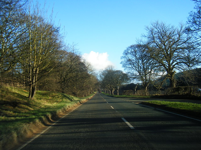
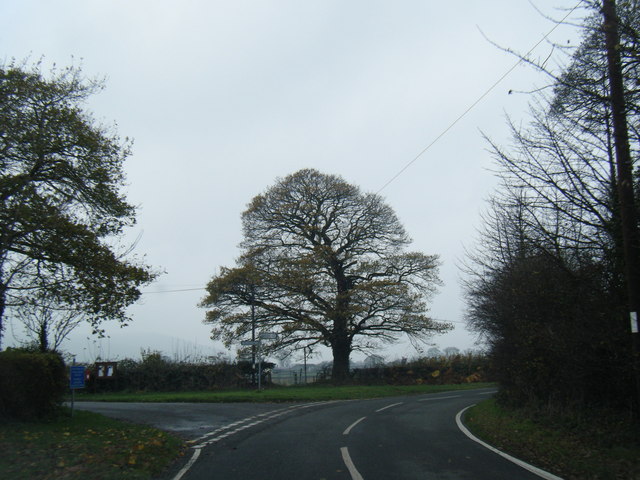
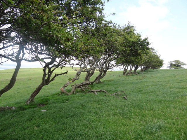
The village is nestled within a rural landscape, characterized by rolling hills, lush green fields, and picturesque farmlands. Ddol benefits from its tranquil setting, offering a peaceful and idyllic environment for its residents. The surrounding countryside provides ample opportunities for outdoor activities such as hiking, cycling, and horseback riding.

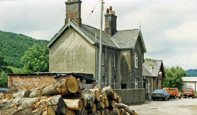
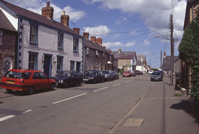
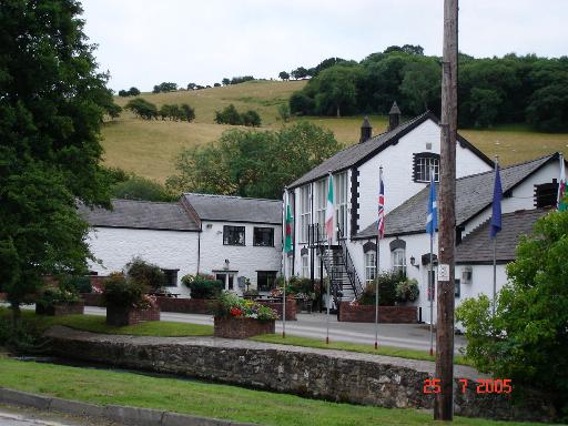
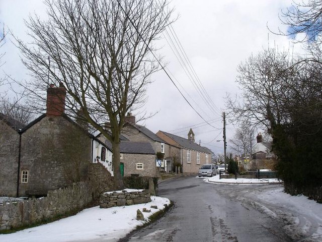
Although Ddol is a small village, it boasts a tight-knit and friendly community. The village is home to a number of traditional Welsh cottages, which enhance its rural charm. The residents of Ddol take pride in their village, and community events and gatherings are frequently organized to promote a sense of togetherness.

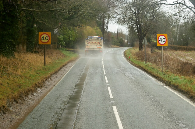
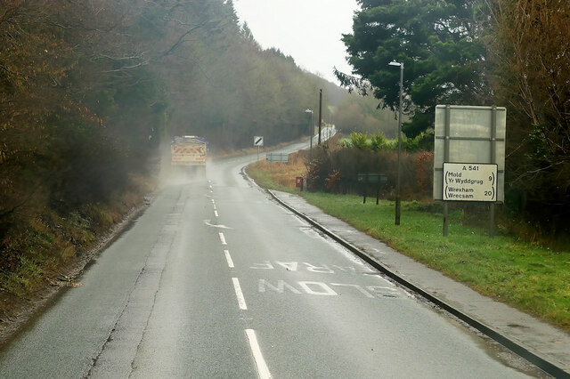
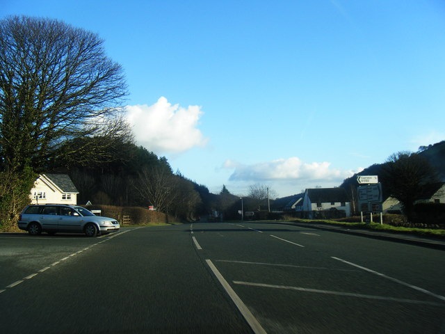
The village is well-connected to neighboring towns and cities by road networks. The A494 road runs nearby, providing easy access for commuters and visitors alike. Additionally, the nearby towns of Mold and Chester offer a range of amenities, including shops, supermarkets, schools, and healthcare facilities.

In conclusion, Ddol is a serene village in Flintshire, Wales, offering a peaceful retreat for its residents. With its beautiful countryside, strong community spirit, and convenient location, Ddol is an appealing place to live for those seeking a rural lifestyle within reach of urban amenities.

If you have any feedback on the listing, please let us know in the comments section below.

Ddol Images

Images are sourced within 2km of 53.231292/-3.289402 or Grid Reference SJ1471. Thanks to Geograph Open Source API. All images are credited.

Pwll Gwyn, Afon-wen
Pwll Gwyn, Afon-wen
A541 approaching Afon-Wen The A541 runs for 26 miles, linking St Asaph with Wrexham. Its northern end starts at the crossroads in the middle of the village of Trefnant (just south of St Asaph). It ends at Wrexham, where it joins the B5101 road. On the way, it passes the town of Mold and also passes through many villages.
A541 approaching Afon-Wen
The A541 runs for 26 miles, linking St Asaph with Wrexham. Its northern end starts at the crossroads in the middle of the village of Trefnant (just south of St Asaph). It ends at Wrexham, where it joins the B5101 road. On the way, it passes the town of Mold and also passes through many villages.
A541 at Afonwen Afonwen is a small village in Flintshire. It is situated on the A541 Mold-Denbigh road.
A541 at Afonwen
Afonwen is a small village in Flintshire. It is situated on the A541 Mold-Denbigh road.
Truck on the A541 DG Roberts' Volvo FM (SA13 DAY) passing a layby on the A541 near to Ysceifiog.
Truck on the A541
DG Roberts' Volvo FM (SA13 DAY) passing a layby on the A541 near to Ysceifiog.
Afonwen, Denbigh Road (A541) The A541 runs for 26 miles, linking St Asaph with Wrexham. Its northern end starts at the crossroads in the middle of the village of Trefnant (just south of St Asaph). It ends at Wrexham, where it joins the B5101 road. On the way, it passes the town of Mold and also passes through many villages.
Afonwen, Denbigh Road (A541)
The A541 runs for 26 miles, linking St Asaph with Wrexham. Its northern end starts at the crossroads in the middle of the village of Trefnant (just south of St Asaph). It ends at Wrexham, where it joins the B5101 road. On the way, it passes the town of Mold and also passes through many villages.
A541 near Swan Wood The A541 runs for 26 miles, linking St Asaph with Wrexham. Its northern end starts at the crossroads in the middle of the village of Trefnant (just south of St Asaph). It ends at Wrexham, where it joins the B5101 road. On the way, it passes the town of Mold and also passes through many villages.
A541 near Swan Wood
The A541 runs for 26 miles, linking St Asaph with Wrexham. Its northern end starts at the crossroads in the middle of the village of Trefnant (just south of St Asaph). It ends at Wrexham, where it joins the B5101 road. On the way, it passes the town of Mold and also passes through many villages.
Vintage Bentley In British racing green livery. Parked across the road from the Fox Inn, Ysceifiog.
Vintage Bentley
In British racing green livery. Parked across the road from the Fox Inn, Ysceifiog.
A541 near Afonwen
A541 near Afonwen
A541 at  Afonwen
A541 at Afonwen
A541 looking east
A541 looking east
A541 near Sarn Farm
A541 near Sarn Farm
Former Caerwys station, 1986 View westward, towards Denbigh: ex-LNW Chester - Mold - Denbigh line, closed 30/4/62. It seems that the new owners may have been timber-merchants.
Former Caerwys station, 1986
View westward, towards Denbigh: ex-LNW Chester - Mold - Denbigh line, closed 30/4/62. It seems that the new owners may have been timber-merchants.
South Street, Caerwys Although only really a village, Caerwys proudly claims itself to be the smallest town in Great Britain with a royal charter - and indeed it does have a town council and its own mayor.
South Street, Caerwys
Although only really a village, Caerwys proudly claims itself to be the smallest town in Great Britain with a royal charter - and indeed it does have a town council and its own mayor.
Footpath heading towards Coed-y-Llan wood A diversion through the edge of the more recently extended graveyard beside St Mary's Church, Ysceifiog.  The Clwydian Hills can be seen in the distance on the right
Footpath heading towards Coed-y-Llan wood
A diversion through the edge of the more recently extended graveyard beside St Mary's Church, Ysceifiog. The Clwydian Hills can be seen in the distance on the right
Lane junction at Groes Faen Bach
Fish Farm Buildings - Caerwys Old farm buildings now used as a fish farm
Fish Farm Buildings - Caerwys
Old farm buildings now used as a fish farm
Windswept hawthorns on Bryn Golau The footpath across Bryn Golau provides excellent views of the Clwyd range, including Moel Arthur.
Windswept hawthorns on Bryn Golau
The footpath across Bryn Golau provides excellent views of the Clwyd range, including Moel Arthur.
Coed D'Arcis Car sales business near Coed D'Arcis.
Coed D'Arcis
Car sales business near Coed D'Arcis.
Show me another place!

Ddol is located at Grid Ref: SJ1471 (Lat: 53.231292, Lng: -3.289402)

Unitary Authority: Flintshire

Police Authority: North Wales

What 3 Words

///embellish.exchanges.rosier. Near Whitford, Flintshire

Related Wikis

Ddol Uchaf

Ddol Uchaf (also known as Y Ddol Uchaf) is a Site of Special Scientific Interest located near Ysceifiog, Flintshire, Wales. It has been selected as an...

Afonwen

Afonwen ([ˌavɔnˈwɛn]; Welsh: Afon-wen) is a village in Flintshire, Wales. It is situated just under four miles from the A55 North Wales Expressway and...

Ysceifiog

Ysceifiog, also spelled as Ysgeifiog, is a village, community and parish in Flintshire, Wales. It lies on a back road just north of the A541 highway between...

Caerwys Tufa

Caerwys Tufa is a Site of Special Scientific Interest in the preserved county of Clwyd, north Wales. Tufa, a very soft limestone that was once used to...

Nearby Amenities

Located within 500m of 53.231292,-3.289402
Waterway: waterfall
Lat/Long: 53.2317853/-3.2865091
Ddôl
Name Cy: Ddôl
Place: hamlet
Lat/Long: 53.231172/-3.2893288
Direction: 195
Generator Method: photovoltaic
Generator Output Electricity: yes
Generator Solar Modules: 6
Generator Source: solar
Generator Type: solar_photovoltaic_panel
Location: roof
Power: generator
Lat/Long: 53.2301936/-3.2885304
Direction: 195
Generator Method: photovoltaic
Generator Output Electricity: yes
Generator Solar Modules: 6
Generator Source: solar
Generator Type: solar_photovoltaic_panel
Location: roof
Power: generator
Lat/Long: 53.2301744/-3.2884392
The data included in this document is from www.openstreetmap.org. The data is made available under ODbL.

Have you been to Ddol?

Leave your review of Ddol below (or comments, questions and feedback).