Coed y Marian

Wood, Forest in Flintshire

Wales

Coed y Marian

St Michael's Church, Caerwys
St Michael's Church, Caerwys Credit: Chris Andrews

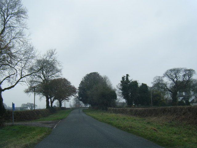
Coed y Marian, located in Flintshire, Wales, is a picturesque wood or forest that stretches over an area of approximately 100 acres. Situated near the village of Gwernaffield, this natural gem attracts nature enthusiasts, hikers, and families alike.

The woodland is characterized by a diverse range of trees, including oak, beech, and ash, which create a beautiful canopy overhead. The forest floor is adorned with a rich carpet of bluebells, ferns, and wildflowers during the spring and summer months, adding vibrant colors to the landscape.

Coed y Marian offers a network of well-maintained trails that wind through the woodland, providing visitors with an opportunity to explore the area's natural beauty. These paths cater to different levels of difficulty, ensuring that individuals of all ages and fitness levels can enjoy the forest. There are also designated picnic areas and benches scattered throughout, allowing visitors to take a moment to relax and soak in the tranquil atmosphere.

This woodland is not only a haven for nature lovers but also serves as a habitat for various wildlife species. Birdwatchers can spot a variety of bird species, including woodpeckers and owls, while lucky visitors might catch a glimpse of foxes, badgers, or deer.

Managed by the local council, Coed y Marian is accessible year-round and is free to the public. It provides an ideal escape from the hustle and bustle of daily life, offering a peaceful retreat where visitors can reconnect with nature and enjoy the beauty of the Welsh countryside.

If you have any feedback on the listing, please let us know in the comments section below.

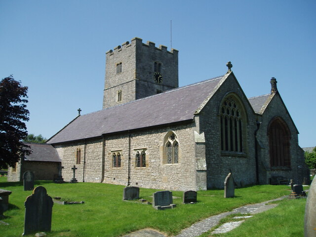
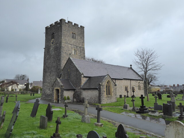
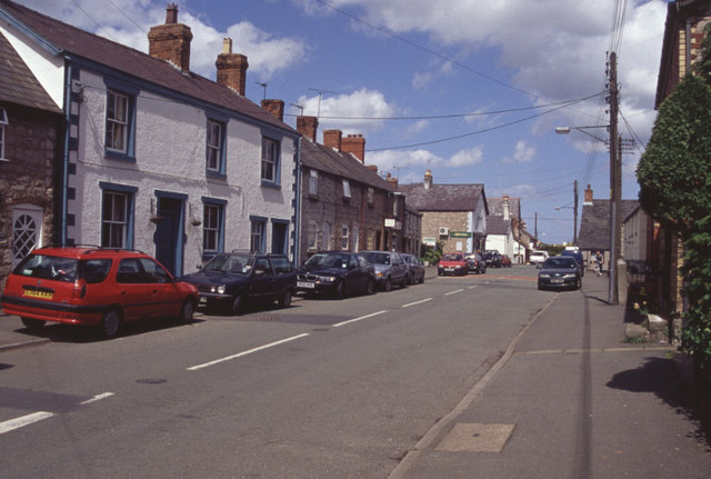
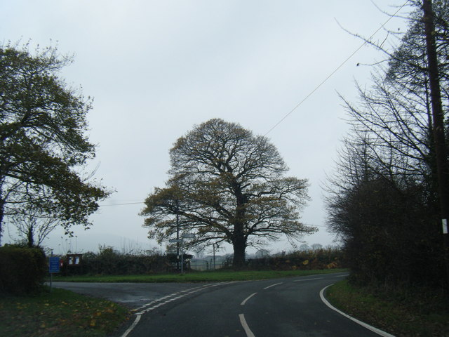
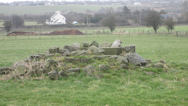
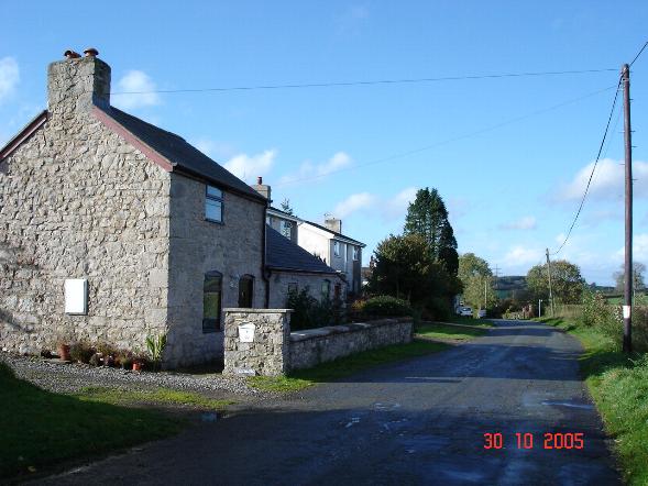
Coed y Marian Images

Images are sourced within 2km of 53.258978/-3.2954927 or Grid Reference SJ1374. Thanks to Geograph Open Source API. All images are credited.

St Michael's Church, Caerwys
Caerwys, St Michael
Caerwys, St Michael
A55 eastbound near Gorsedd
A55 westbound nears junction 31
A5026 at Holywell Tyres
South Street, Caerwys Although only really a village, Caerwys proudly claims itself to be the smallest town in Great Britain with a royal charter - and indeed it does have a town council and its own mayor.
South Street, Caerwys
Although only really a village, Caerwys proudly claims itself to be the smallest town in Great Britain with a royal charter - and indeed it does have a town council and its own mayor.
Lane at Waen-isaf
Lane at Waen-isaf
Lane junction at Groes Faen Bach
The remains of the Holywell Racecourse Grandstand I believe that the wood and stone structure was evident until a few years ago but all that is left is a couple of piles of stones.
The remains of the Holywell Racecourse Grandstand
I believe that the wood and stone structure was evident until a few years ago but all that is left is a couple of piles of stones.
Fish Farm Buildings - Caerwys Old farm buildings now used as a fish farm
Fish Farm Buildings - Caerwys
Old farm buildings now used as a fish farm
Westbound A55 near to Gorsedd The A55, also known as the North Wales Expressway (Gwibffordd Gogledd Cymru), is the major road in North Wales running for 88 miles between Chester and Holyhead via Conwy and Bangor. 

The A55 is a very high quality road, much of it rebuilt since the 1970s in response to traffic problems in Colwyn Bay, Colwyn and Llandudno caused by traffic having to pass through town centres on totally unsuitable streets, (especially in Conwy where lorries often scraped their paintwork as they passed through 12th century arches in the town's walls), leading to the construction of an east-west expressway bypassing the urban centres. It is a dual carriageway primary route for its entire length with the exception of the point where it crosses the Britannia Bridge over the Menai Strait. All of its junctions are grade separated except for two roundabouts; one east of Penmaenmawr and one in Llanfairfechan. The road originally ran from Chester to Bangor but was extended parallel to the A5 across Anglesey right into Holyhead Docks in 2001.

<span class="nowrap"><a title="http://www.sabre-roads.org.uk/wiki/index.php?title=A55" rel="nofollow ugc noopener" href="http://www.sabre-roads.org.uk/wiki/index.php?title=A55">Link</a><img style="margin-left:2px;" alt="External link" title="External link - shift click to open in new window" src="https://s1.geograph.org.uk/img/external.png" width="10" height="10"/></span>  SABRE
Westbound A55 near to Gorsedd
The A55, also known as the North Wales Expressway (Gwibffordd Gogledd Cymru), is the major road in North Wales running for 88 miles between Chester and Holyhead via Conwy and Bangor. The A55 is a very high quality road, much of it rebuilt since the 1970s in response to traffic problems in Colwyn Bay, Colwyn and Llandudno caused by traffic having to pass through town centres on totally unsuitable streets, (especially in Conwy where lorries often scraped their paintwork as they passed through 12th century arches in the town's walls), leading to the construction of an east-west expressway bypassing the urban centres. It is a dual carriageway primary route for its entire length with the exception of the point where it crosses the Britannia Bridge over the Menai Strait. All of its junctions are grade separated except for two roundabouts; one east of Penmaenmawr and one in Llanfairfechan. The road originally ran from Chester to Bangor but was extended parallel to the A5 across Anglesey right into Holyhead Docks in 2001. LinkExternal link SABRE
North Wales Expressway near to Gorsedd The A55, also known as the North Wales Expressway (Gwibffordd Gogledd Cymru), is the major road in North Wales running for 88 miles between Chester and Holyhead via Conwy and Bangor. 

The A55 is a very high quality road, much of it rebuilt since the 1970s in response to traffic problems in Colwyn Bay, Colwyn and Llandudno caused by traffic having to pass through town centres on totally unsuitable streets, (especially in Conwy where lorries often scraped their paintwork as they passed through 12th century arches in the town's walls), leading to the construction of an east-west expressway bypassing the urban centres. It is a dual carriageway primary route for its entire length with the exception of the point where it crosses the Britannia Bridge over the Menai Strait. All of its junctions are grade separated except for two roundabouts; one east of Penmaenmawr and one in Llanfairfechan. The road originally ran from Chester to Bangor but was extended parallel to the A5 across Anglesey right into Holyhead Docks in 2001.

<span class="nowrap"><a title="http://www.sabre-roads.org.uk/wiki/index.php?title=A55" rel="nofollow ugc noopener" href="http://www.sabre-roads.org.uk/wiki/index.php?title=A55">Link</a><img style="margin-left:2px;" alt="External link" title="External link - shift click to open in new window" src="https://s1.geograph.org.uk/img/external.png" width="10" height="10"/></span>  SABRE
North Wales Expressway near to Gorsedd
The A55, also known as the North Wales Expressway (Gwibffordd Gogledd Cymru), is the major road in North Wales running for 88 miles between Chester and Holyhead via Conwy and Bangor. The A55 is a very high quality road, much of it rebuilt since the 1970s in response to traffic problems in Colwyn Bay, Colwyn and Llandudno caused by traffic having to pass through town centres on totally unsuitable streets, (especially in Conwy where lorries often scraped their paintwork as they passed through 12th century arches in the town's walls), leading to the construction of an east-west expressway bypassing the urban centres. It is a dual carriageway primary route for its entire length with the exception of the point where it crosses the Britannia Bridge over the Menai Strait. All of its junctions are grade separated except for two roundabouts; one east of Penmaenmawr and one in Llanfairfechan. The road originally ran from Chester to Bangor but was extended parallel to the A5 across Anglesey right into Holyhead Docks in 2001. LinkExternal link SABRE
North Wales Expressway, Junction 31 The A55, also known as the North Wales Expressway (Gwibffordd Gogledd Cymru), is the major road in North Wales running for 88 miles between Chester and Holyhead via Conwy and Bangor. 

The A55 is a very high quality road, much of it rebuilt since the 1970s in response to traffic problems in Colwyn Bay, Colwyn and Llandudno caused by traffic having to pass through town centres on totally unsuitable streets, (especially in Conwy where lorries often scraped their paintwork as they passed through 12th century arches in the town's walls), leading to the construction of an east-west expressway bypassing the urban centres. It is a dual carriageway primary route for its entire length with the exception of the point where it crosses the Britannia Bridge over the Menai Strait. All of its junctions are grade separated except for two roundabouts; one east of Penmaenmawr and one in Llanfairfechan. The road originally ran from Chester to Bangor but was extended parallel to the A5 across Anglesey right into Holyhead Docks in 2001.

<span class="nowrap"><a title="http://www.sabre-roads.org.uk/wiki/index.php?title=A55" rel="nofollow ugc noopener" href="http://www.sabre-roads.org.uk/wiki/index.php?title=A55">Link</a><img style="margin-left:2px;" alt="External link" title="External link - shift click to open in new window" src="https://s1.geograph.org.uk/img/external.png" width="10" height="10"/></span>  SABRE
North Wales Expressway, Junction 31
The A55, also known as the North Wales Expressway (Gwibffordd Gogledd Cymru), is the major road in North Wales running for 88 miles between Chester and Holyhead via Conwy and Bangor. The A55 is a very high quality road, much of it rebuilt since the 1970s in response to traffic problems in Colwyn Bay, Colwyn and Llandudno caused by traffic having to pass through town centres on totally unsuitable streets, (especially in Conwy where lorries often scraped their paintwork as they passed through 12th century arches in the town's walls), leading to the construction of an east-west expressway bypassing the urban centres. It is a dual carriageway primary route for its entire length with the exception of the point where it crosses the Britannia Bridge over the Menai Strait. All of its junctions are grade separated except for two roundabouts; one east of Penmaenmawr and one in Llanfairfechan. The road originally ran from Chester to Bangor but was extended parallel to the A5 across Anglesey right into Holyhead Docks in 2001. LinkExternal link SABRE
Y ffordd i Ffyddion / The road to Ffyddion
Cottage Farm Rather large for a Cottage!
Cottage Farm
Rather large for a Cottage!
Arwyddion ffordd yn troi / Bend in road signs
Neuadd Dref Caersws / Caersws Town Hall
Capel Bethel Bethel is a bilingual Presbyterian chapel.
Capel Bethel
Bethel is a bilingual Presbyterian chapel.
Show me another place!

Coed y Marian is located at Grid Ref: SJ1374 (Lat: 53.258978, Lng: -3.2954927)

Unitary Authority: Flintshire

Police Authority: North Wales

What 3 Words

///lamps.fenced.kidney. Near Whitford, Flintshire

Related Wikis

Caerwys

Caerwys is a town in Flintshire, Wales. It is just under two miles from the A55 North Wales Expressway and one mile from the A541 Mold-Denbigh road. At...
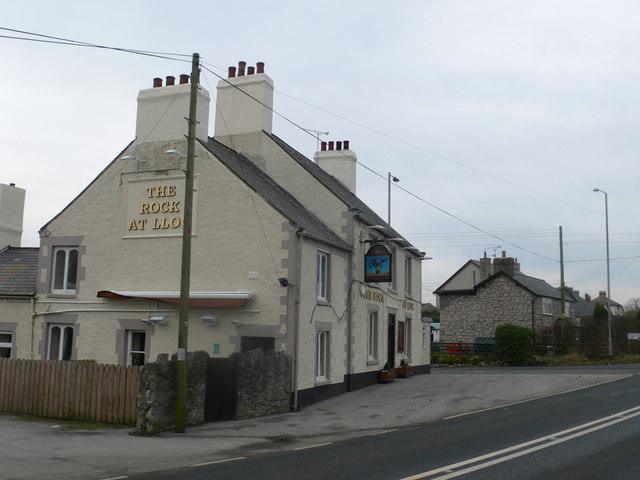
Lloc

Lloc is a small village in Flintshire, north Wales. It is located within the community of Whitford. It lies north of the Clwydian Range, just east of the...

Caerwys Tufa

Caerwys Tufa is a Site of Special Scientific Interest in the preserved county of Clwyd, north Wales. Tufa, a very soft limestone that was once used to...

Babell

Babell is a hamlet in Flintshire, Wales. It is part of the community of Ysgeifiog. The hamlet takes its name from the Babell Methodist chapel, built in...

Nearby Amenities

Located within 500m of 53.258978,-3.2954927
Power: tower
Lat/Long: 53.2602139/-3.2995162
Power: tower
Lat/Long: 53.2611124/-3.294023
Power: pole
Lat/Long: 53.2591006/-3.2883156
Power: pole
Lat/Long: 53.2596039/-3.2895277
Power: pole
Lat/Long: 53.260109/-3.2907133
Power: pole
Lat/Long: 53.260695/-3.2921284
Power: pole
Lat/Long: 53.2612282/-3.293158
Power: pole
Lat/Long: 53.2615495/-3.2945698
Power: pole
Lat/Long: 53.2617262/-3.2952144
Power: pole
Lat/Long: 53.2620659/-3.2966295
Power: pole
Lat/Long: 53.2623791/-3.297971
Power: pole
Lat/Long: 53.2626395/-3.2990154
Power: pole
Lat/Long: 53.2628455/-3.2976645
Power: pole
Lat/Long: 53.2624228/-3.2960139
Power: pole
Lat/Long: 53.2620323/-3.2944659
Power: pole
Lat/Long: 53.2616095/-3.2928617
Power: pole
Lat/Long: 53.2613067/-3.2916219
Power: pole
Lat/Long: 53.2611604/-3.2903723
Power: pole
Lat/Long: 53.2610493/-3.2894748
Power: pole
Lat/Long: 53.2614281/-3.2904432
Power: pole
Lat/Long: 53.2615773/-3.2913309
Power: pole
Lat/Long: 53.2619342/-3.2925463
Power: pole
Lat/Long: 53.2622721/-3.294126
Power: pole
Lat/Long: 53.2626963/-3.2963269
Power: tower
Lat/Long: 53.2554806/-3.2924762
Power: tower
Lat/Long: 53.2570304/-3.2964419
Power: tower
Lat/Long: 53.258756/-3.3008112
Hen Caerwys Field System Earthworks
Historic: archaeological_site
Lat/Long: 53.2594322/-3.2936382
Power: pole
Lat/Long: 53.260726/-3.2887412
Power: pole
Lat/Long: 53.2609045/-3.2894688
Power: pole
Lat/Long: 53.2605252/-3.2900315
Power: pole
Lat/Long: 53.2563987/-3.3003589
Power: pole
Lat/Long: 53.2560649/-3.2994443
Power: pole
Lat/Long: 53.2557344/-3.298535
Power: pole
Lat/Long: 53.2550091/-3.2984385
Hen Gaerwys Earthworks
Historic: archaeological_site
Lat/Long: 53.258633/-3.2953498
The data included in this document is from www.openstreetmap.org. The data is made available under ODbL.

Have you been to Coed y Marian?

Leave your review of Coed y Marian below (or comments, questions and feedback).