Coed y Garreg
Wood, Forest in Flintshire
Wales
Coed y Garreg

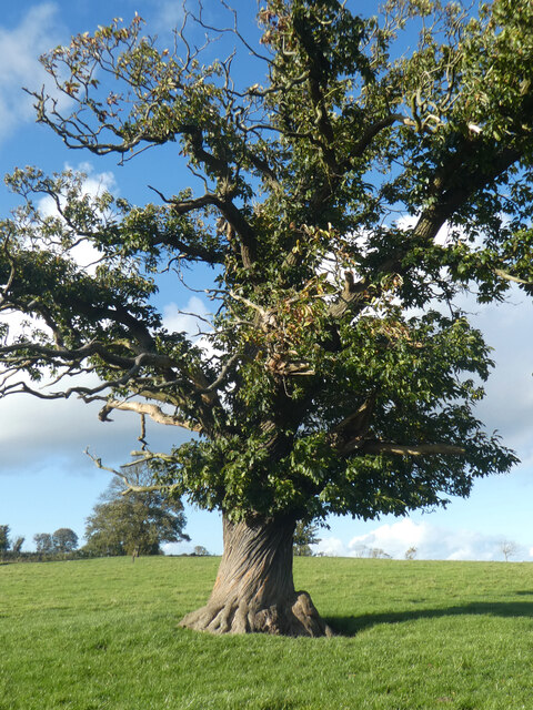
Coed y Garreg is a picturesque woodland located in the county of Flintshire, Wales. Spread over an area of approximately 50 acres, the forest is known for its diverse range of flora and fauna, making it a popular spot for nature enthusiasts and hikers.
The woodland is characterized by a dense canopy of mainly deciduous trees, including oak, beech, and ash. These trees provide shelter and nesting sites for a variety of bird species, such as woodpeckers, owls, and songbirds. Additionally, the forest floor is adorned with a rich carpet of wildflowers during the spring season, including bluebells, primroses, and foxgloves, adding to the area's natural beauty.
Coed y Garreg offers a network of well-maintained footpaths and trails, allowing visitors to explore the forest and immerse themselves in its tranquility. The paths wind through the trees, offering glimpses of sunlight filtering through the foliage and creating a magical atmosphere.
The woodland is also home to a small stream that meanders through the forest, providing a refreshing and soothing soundtrack as it babbles over the rocks. This stream supports a variety of aquatic life, including small fish and amphibians.
Coed y Garreg is easily accessible, with a car park available nearby, making it a popular destination for both locals and tourists looking to escape the hustle and bustle of everyday life and reconnect with nature. Whether it's a leisurely stroll, a picnic, or birdwatching, Coed y Garreg offers a serene and enchanting experience for all who visit.
If you have any feedback on the listing, please let us know in the comments section below.
Coed y Garreg Images
Images are sourced within 2km of 53.293429/-3.3026115 or Grid Reference SJ1378. Thanks to Geograph Open Source API. All images are credited.


Coed y Garreg is located at Grid Ref: SJ1378 (Lat: 53.293429, Lng: -3.3026115)
Unitary Authority: Flintshire
Police Authority: North Wales
What 3 Words
///chair.passages.banquets. Near Whitford, Flintshire
Nearby Locations
Related Wikis
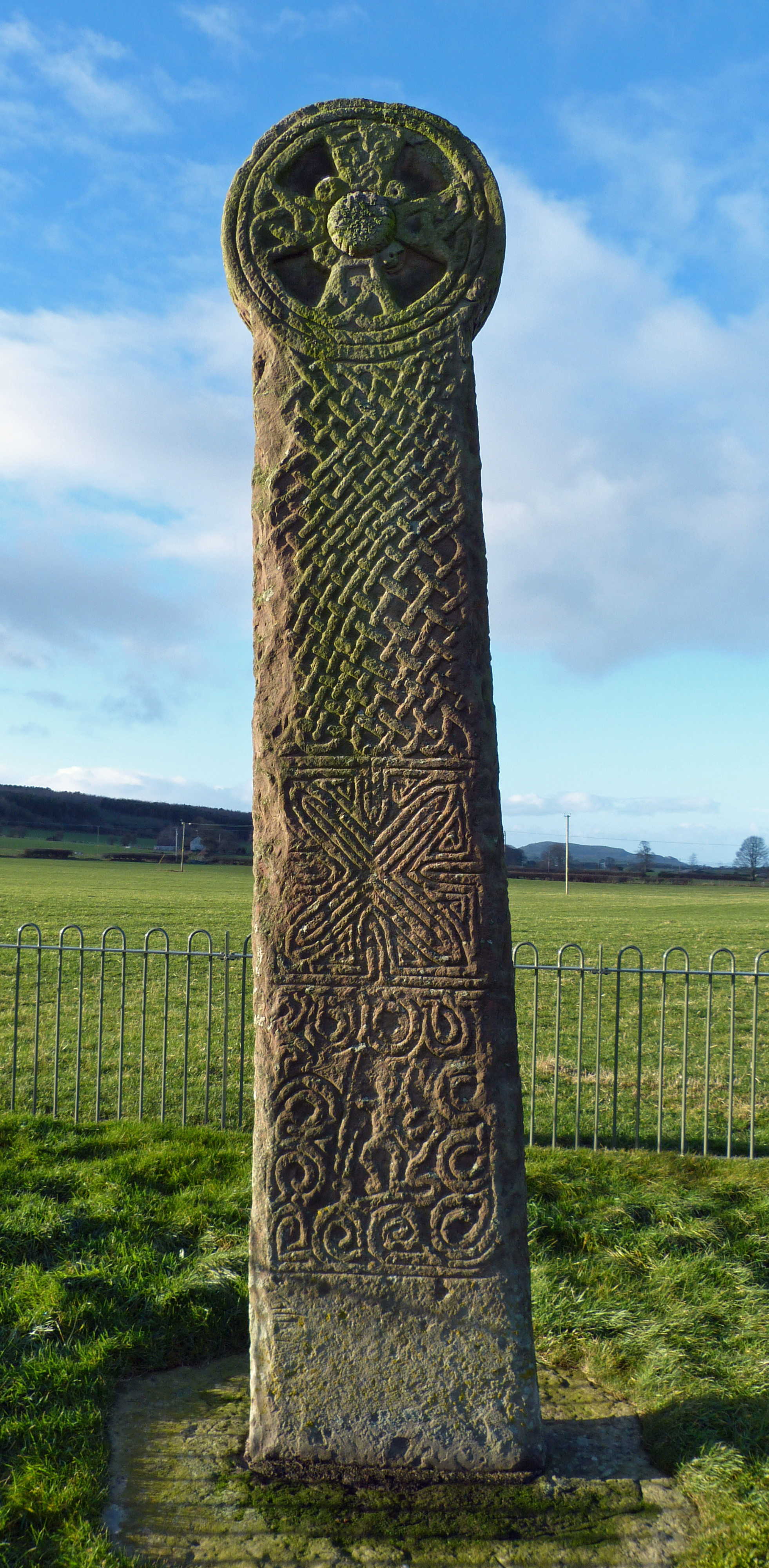
Maen Achwyfan Cross
Maen Achwyfan Cross (Welsh: Maen Achwyfan, Croes Maen Achwyfan), located near the village of Whitford, Flintshire, Wales, is a high cross dating from the...

Whitford, Flintshire
Whitford (Welsh: Chwitffordd) is a village, community and an electoral ward near Holywell in Flintshire, northeast Wales. The population of both the community...

Church of St Beuno and St Mary
The Church of St Beuno and St Mary is a Grade I listed church in Whitford, overlooking the estuary of the river Dee. The church has a well preserved late...
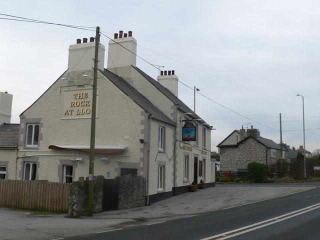
Lloc
Lloc is a small village in Flintshire, north Wales. It is located within the community of Whitford. It lies north of the Clwydian Range, just east of the...
Nearby Amenities
Located within 500m of 53.293429,-3.3026115Have you been to Coed y Garreg?
Leave your review of Coed y Garreg below (or comments, questions and feedback).