Alltour
Settlement in Inverness-shire
Scotland
Alltour

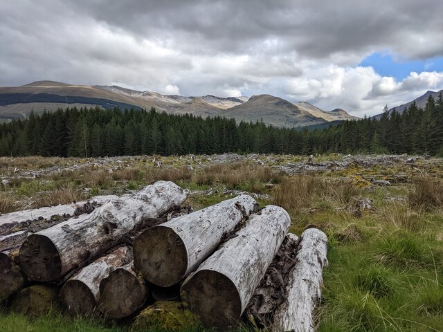
Alltour is a small village located in the county of Inverness-shire, Scotland. Situated in the Scottish Highlands, it lies on the banks of the River Alltour, which flows through the village and adds to its picturesque charm. With a population of around 500 residents, Alltour offers a tranquil and idyllic setting for those seeking a peaceful retreat.
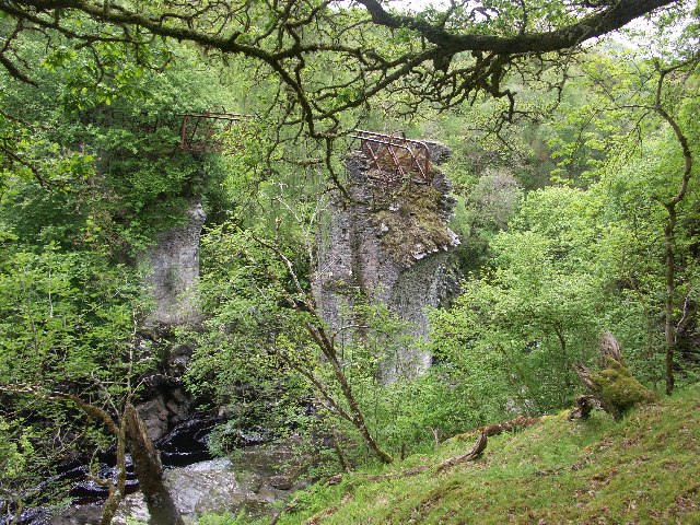
The village is surrounded by stunning natural beauty, with rolling hills, lush green landscapes, and breathtaking views of the nearby mountains. The area is a haven for outdoor enthusiasts, with numerous walking trails, cycling routes, and fishing spots in close proximity. The River Alltour is known for its abundant salmon and trout, attracting anglers from far and wide.
Alltour boasts a rich history, with evidence of human settlement dating back to ancient times. The village is home to several historical landmarks, including a centuries-old church and a well-preserved castle ruin. Visitors can delve into the past by exploring these sites and learning about the village's heritage.
Despite its small size, Alltour offers essential amenities for its residents and visitors. The village has a local grocery store, a post office, and a few cozy pubs where locals gather to socialize. Accommodation options are limited but include charming bed and breakfast establishments, allowing visitors to experience the warmth and hospitality of the community.
Alltour's peaceful ambiance, stunning natural surroundings, and rich history make it an ideal destination for those seeking an escape from the hustle and bustle of modern life. Whether it's for a weekend retreat or a longer stay, this quaint village in Inverness-shire offers a serene and enchanting experience for all who visit.
If you have any feedback on the listing, please let us know in the comments section below.
Alltour Images
Images are sourced within 2km of 56.886108/-4.9232721 or Grid Reference NN2281. Thanks to Geograph Open Source API. All images are credited.


Alltour is located at Grid Ref: NN2281 (Lat: 56.886108, Lng: -4.9232721)
Unitary Authority: Highland
Police Authority: Highlands and Islands
What 3 Words
///taller.tweed.lows. Near Gairlochy, Highland
Nearby Locations
Related Wikis
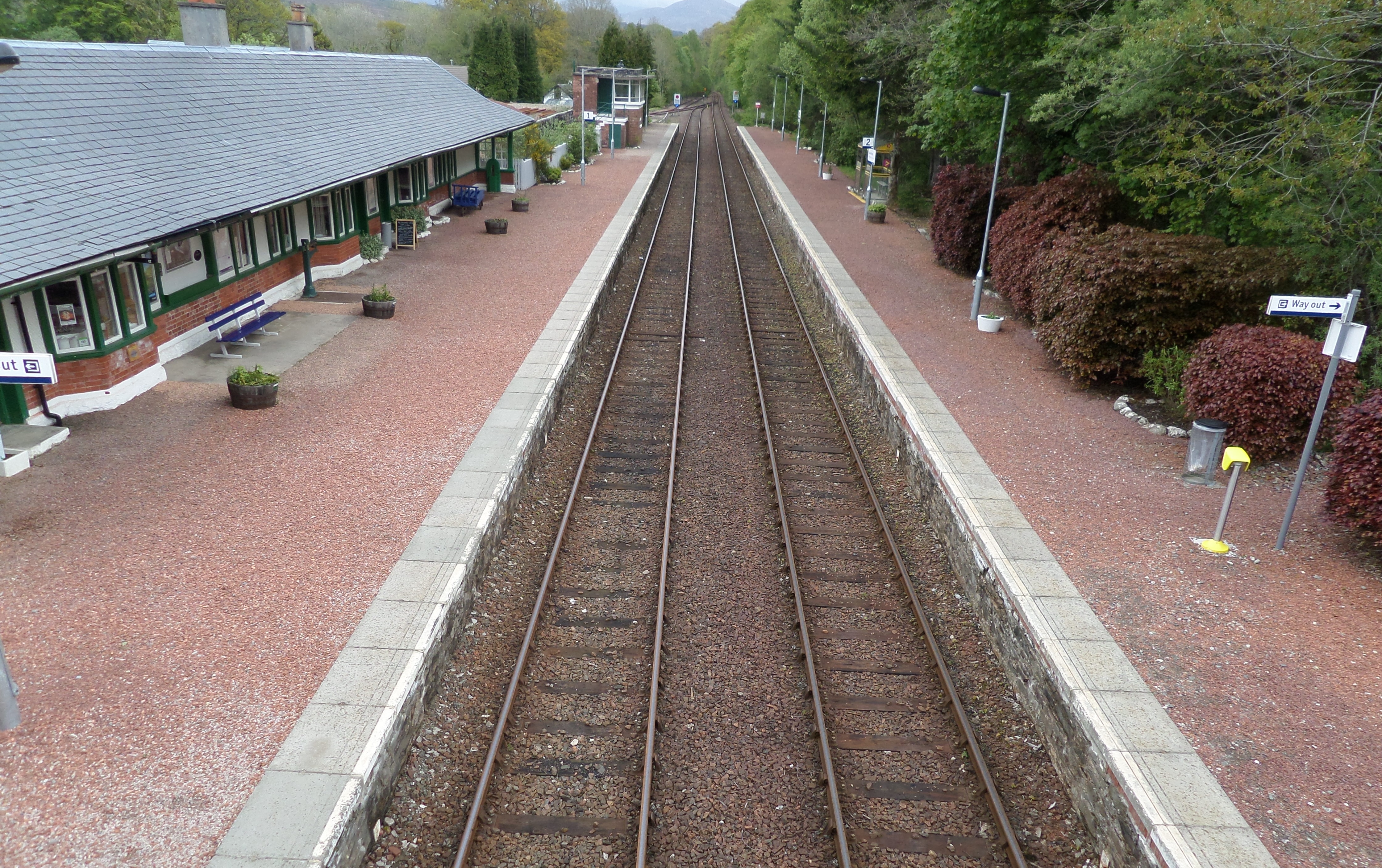
Spean Bridge railway station
Spean Bridge railway station is a railway station serving the village of Spean Bridge in the Highland region of Scotland. This station is on the West Highland...

Spean Bridge
Spean Bridge (Scottish Gaelic: Drochaid an Aonachain) is a village in the parish of Kilmonivaig, in Lochaber in the Highland region of Scotland. The village...

Highbridge, Scotland
Highbridge is located on the River Spean, 2 kilometres (1.2 mi) downstream from the village of Spean Bridge in the Scottish Highlands. The village takes...
Highbridge Skirmish
The Highbridge Skirmish was the first engagement of the Jacobite Rising of 1745 between government troops and Jacobites loyal to Prince Charles Edward...
Nearby Amenities
Located within 500m of 56.886108,-4.9232721Have you been to Alltour?
Leave your review of Alltour below (or comments, questions and feedback).