Bwlchygroes

Settlement in Pembrokeshire

Wales

Bwlchygroes

Ordnance Survey Cut Mark This OS cut mark can be found on the north angle of the school. It marks a point 190.561m above mean sea level.
Ordnance Survey Cut Mark Credit: Adrian Dust

The requested URL returned error: 429 Too Many Requests

If you have any feedback on the listing, please let us know in the comments section below.
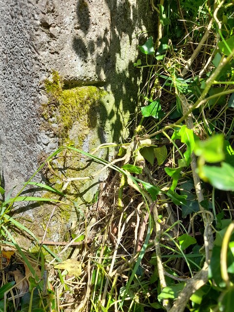
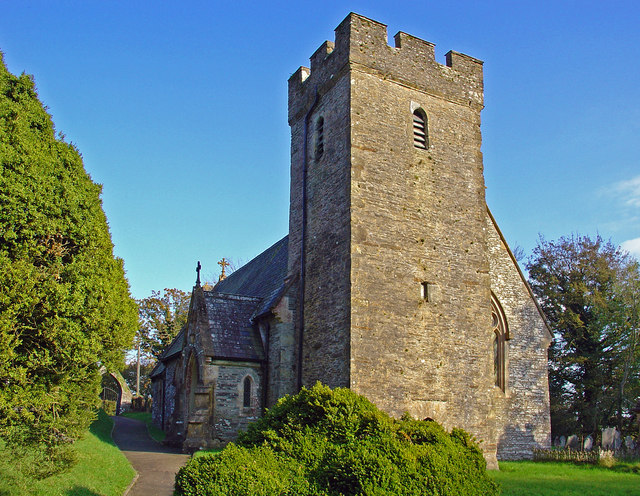
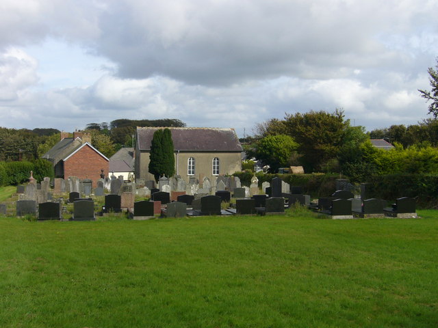
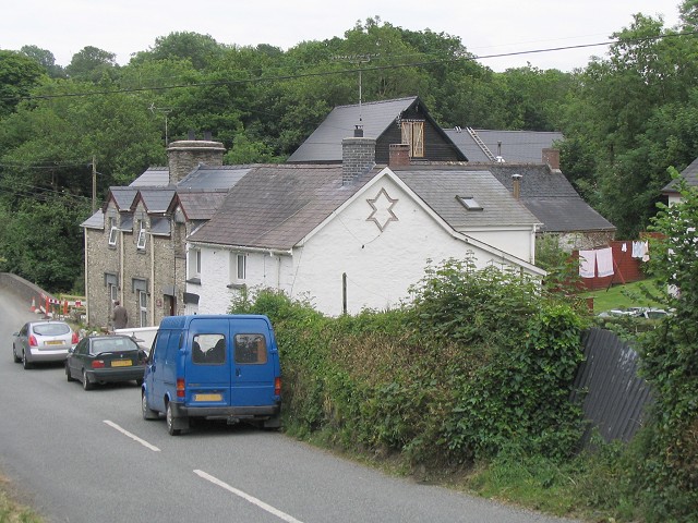
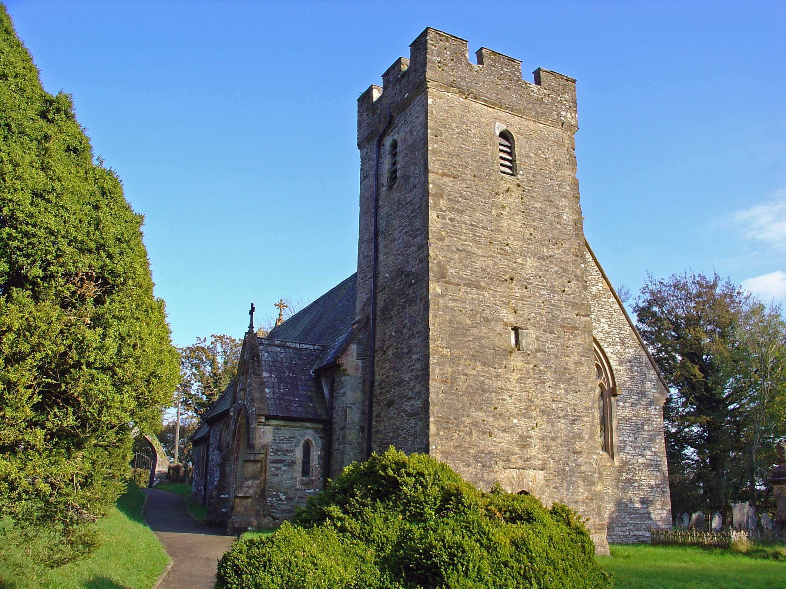
Bwlchygroes Images

Images are sourced within 2km of 51.990536/-4.562883 or Grid Reference SN2435. Thanks to Geograph Open Source API. All images are credited.

Ordnance Survey Cut Mark This OS cut mark can be found on the north angle of the school. It marks a point 190.561m above mean sea level.
Ordnance Survey Cut Mark
This OS cut mark can be found on the north angle of the school. It marks a point 190.561m above mean sea level.
Ordnance Survey Cut Mark This OS cut mark can be found on the concrete gatepost NW side of the road. It marks a point 194.543m above mean sea level.
Ordnance Survey Cut Mark
This OS cut mark can be found on the concrete gatepost NW side of the road. It marks a point 194.543m above mean sea level.
Old caravan, Star
Old caravan, Star
New house, Star
New house, Star
Clydey Parish Church
St. Clydai's Church - plaque on gates into new graveyard
St. Clydai's Church - gates into new graveyard
St. Clydai's Church - detail in graveyard wall
St. Clydai's Church - stile steps
St. Clydai's Church
St. Clydai's Church
St. Clydai's Church - stile steps
St. Clydai's Church - graveyard and angel
St. Clydai's Church - graveyard
St. Clydai's Church - graveyard and angel
St. Clydai's Church - steps up to graveyard
St. Clydai's Church - path
St. Clydai's Church - old stoup
Show me another place!

Bwlchygroes is located at Grid Ref: SN2435 (Lat: 51.990536, Lng: -4.562883)

Unitary Authority: Pembrokeshire

Police Authority: Dyfed Powys

Also known as: Bwlch-y-groes

What 3 Words

///lifeguard.steady.milder. Near Crymych, Pembrokeshire

Nearby Locations

Bwlchygroes Bwlch-y-groes

Related Wikis

Cilgerran Hundred

The Hundred of Cilgerran (often written "Kilgerran") was a hundred in the north of Pembrokeshire, Wales. It was formed by the Act of Union of 1536 from...

Bwlchygroes

Bwlchygroes (; sometimes spelled Bwlch-y-groes) is a small upland rural village in the community and parish of Clydau, north Pembrokeshire, Wales, 5 miles...

Star, Pembrokeshire

Star is a small village in the parish and community of Clydau in Pembrokeshire, Wales. It lies south of Bwlchygroes on a crossroads in the valley of the...

Clydau

Clydau (sometimes Clydaï or Clydey) is a community and parish in Pembrokeshire, Wales. == Name == The meaning of the Welsh placename is uncertain, although...

Nearby Amenities

Located within 500m of 51.990536,-4.562883
Bwlch-y-groes
Alt Name: Bwlchygroes
Place: village
Wikidata: Q19859120
Wikipedia: en:Bwlchygroes
Lat/Long: 51.9945001/-4.5639627
Give Way
Direction: forward
Lat/Long: 51.9947383/-4.5648909
Give Way
Direction: backward
Lat/Long: 51.994758/-4.5647858
Direction: SSE
Generator Method: photovoltaic
Generator Output Electricity: yes
Generator Solar Modules: 16
Generator Source: solar
Generator Type: solar_photovoltaic_panel
Location: roof
Power: generator
Lat/Long: 51.9943936/-4.5648975
Direction: SSE
Generator Method: photovoltaic
Generator Output Electricity: yes
Generator Solar Modules: 22
Generator Source: solar
Generator Type: solar_photovoltaic_panel
Location: roof
Power: generator
Lat/Long: 51.9943684/-4.5650195
Direction: 165
Generator Method: photovoltaic
Generator Output Electricity: yes
Generator Solar Modules: 16
Generator Source: solar
Generator Type: solar_photovoltaic_panel
Location: roof
Power: generator
Lat/Long: 51.9949861/-4.5637357
The data included in this document is from www.openstreetmap.org. The data is made available under ODbL.

Have you been to Bwlchygroes?

Leave your review of Bwlchygroes below (or comments, questions and feedback).