Bwlch-y-ffridd

Settlement in Montgomeryshire

Wales

Bwlch-y-ffridd

Lane with a view View from one of the network of lanes between Tregynon and Caersws.
Lane with a view Credit: Andrew Hill

The requested URL returned error: 429 Too Many Requests

If you have any feedback on the listing, please let us know in the comments section below.

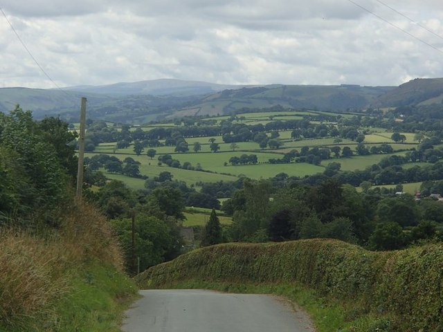
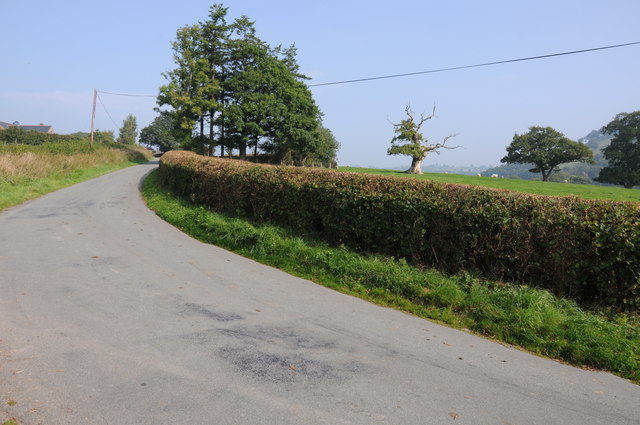
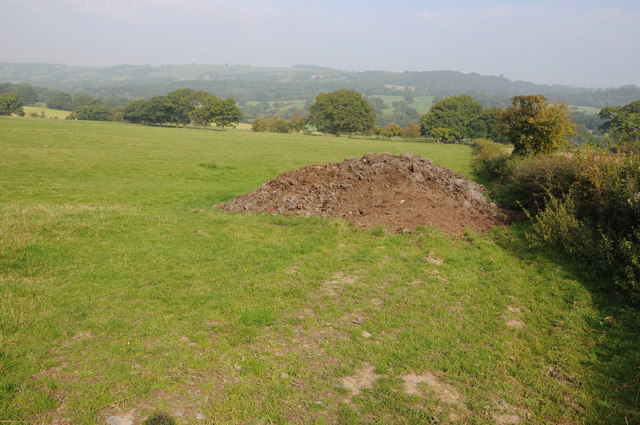
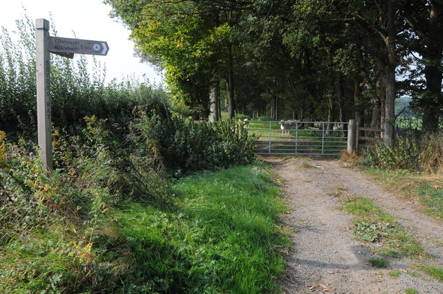
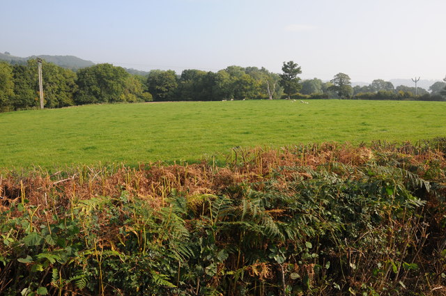
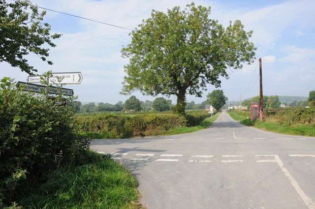
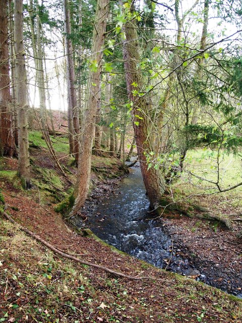
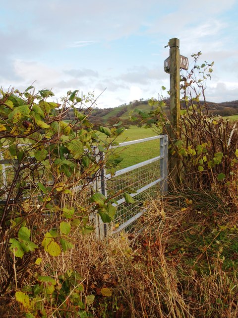
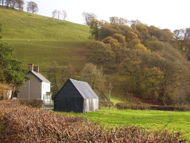
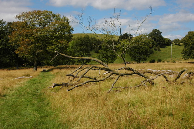
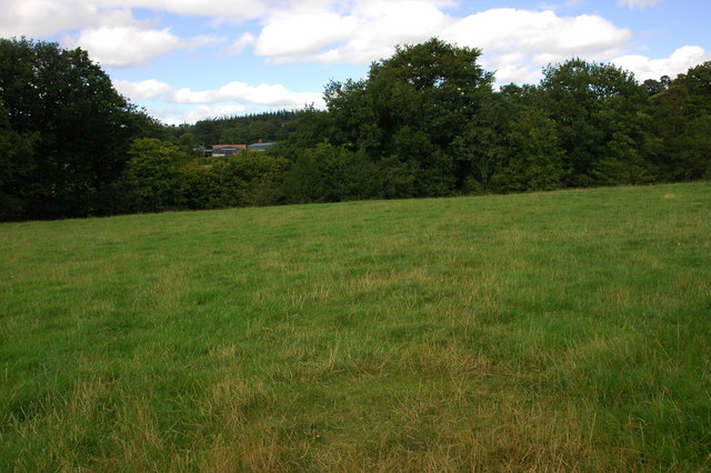
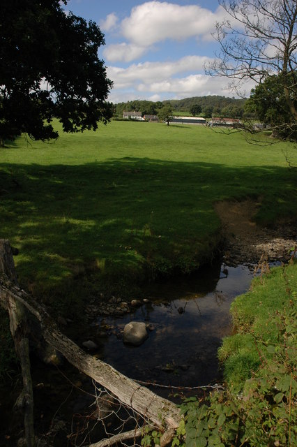
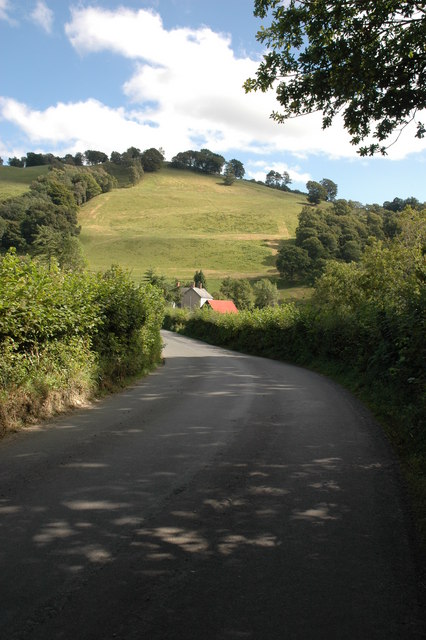
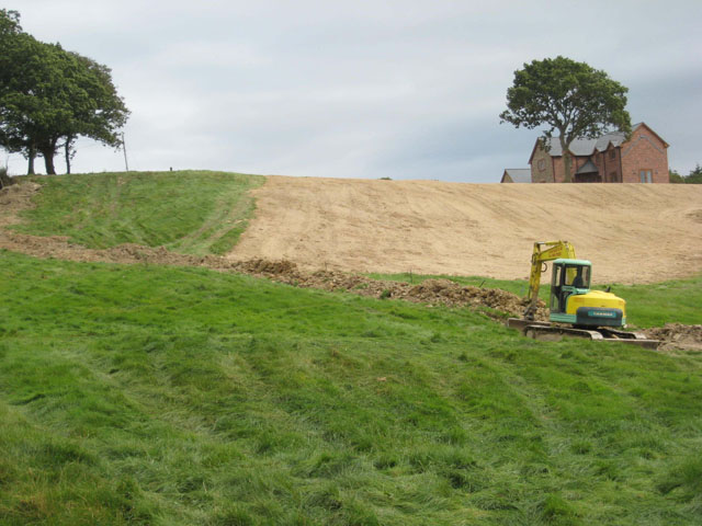
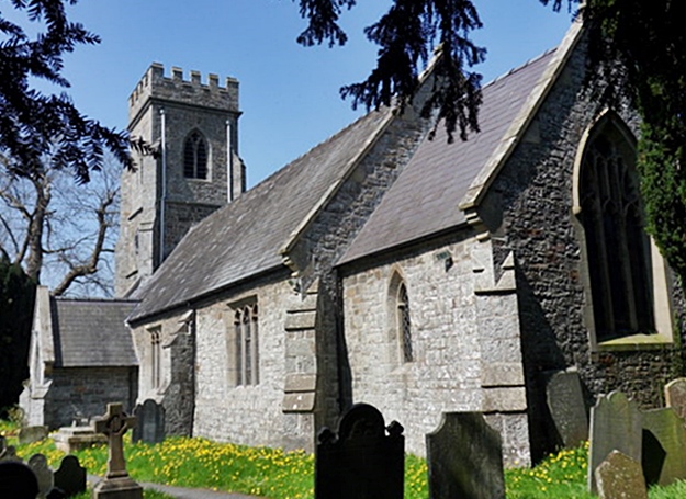
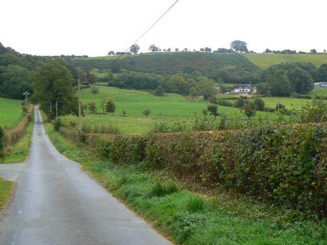
Bwlch-y-ffridd Images

Images are sourced within 2km of 52.550205/-3.376717 or Grid Reference SO0695. Thanks to Geograph Open Source API. All images are credited.

Lane with a view View from one of the network of lanes between Tregynon and Caersws.
Lane with a view
View from one of the network of lanes between Tregynon and Caersws.
Country road near Glanrhyd, Aberhafesp
Farmland near Bwlch-y-Ffridd The Severn Way passes across this farmland in the middle distance.
Farmland near Bwlch-y-Ffridd
The Severn Way passes across this farmland in the middle distance.
Severn Way, near Bwlch-y-Ffridd The Severn Way between Caersws and Newtown.
Severn Way, near Bwlch-y-Ffridd
The Severn Way between Caersws and Newtown.
Farmland near Bwlch-y-Ffridd
Crossroads near Bethel Crossroads approaching Bethel on the road from Aberhafesp.
Crossroads near Bethel
Crossroads approaching Bethel on the road from Aberhafesp.
Nant yr Geb
Nant yr Geb
Severn Way Near Cefn-coch
Melin-y-gloch Farm
Melin-y-gloch Farm
The Severn Way at Craig-y-bagwn The Severn Way crosses some rough grassland at Craig-y-bwgan near Aberhafesp.
The Severn Way at Craig-y-bagwn
The Severn Way crosses some rough grassland at Craig-y-bwgan near Aberhafesp.
Field near Bwlch-y-ffridd Gilfach can be seen beyond the hedge on the far side of the field.
Field near Bwlch-y-ffridd
Gilfach can be seen beyond the hedge on the far side of the field.
Glascoed viewed from the south The farm of Glascoed viewed from beside the stream Nant Rhyd-ros-lan.
Glascoed viewed from the south
The farm of Glascoed viewed from beside the stream Nant Rhyd-ros-lan.
Lane past Melin-y-gloch Melin-y-gloch is the farm at the foot of the hill in the middle distance.
Lane past Melin-y-gloch
Melin-y-gloch is the farm at the foot of the hill in the middle distance.
Field access bridge Old bridge over Nant Rhyd-ros-lan, built with railway sleepers and providing access to the field beyond.
Field access bridge
Old bridge over Nant Rhyd-ros-lan, built with railway sleepers and providing access to the field beyond.
Tree on Sgwylfa Hill The Severn Way passes by this tree.
Tree on Sgwylfa Hill
The Severn Way passes by this tree.
Putting in a land drain Near Caersws. The house on the skyline is new.
Putting in a land drain
Near Caersws. The house on the skyline is new.
Llwydcoed covered reservoir A very small reservoir serving a scattering of farmsteads on the hillside near Caersws.
Llwydcoed covered reservoir
A very small reservoir serving a scattering of farmsteads on the hillside near Caersws.
The road to Borfa-hafed Only shown as a "yellow" road on recent Landranger maps.
The road to Borfa-hafed
Only shown as a "yellow" road on recent Landranger maps.
Show me another place!

Bwlch-y-ffridd is located at Grid Ref: SO0695 (Lat: 52.550205, Lng: -3.376717)

Unitary Authority: Powys

Police Authority: Dyfed Powys

Also known as: Bwlchyffridd

What 3 Words

///circling.pampering.papers. Near Newtown, Powys

Related Wikis

Gregynog Hall

Gregynog (Welsh pronunciation: [ɡrɛˈɡənɔɡ]) is a large country mansion in the village of Tregynon, 4 miles (6.4 km) northwest of Newtown in the old county...

Aberhafesp

Aberhafesp is a small village and community in Montgomeryshire, Powys, Wales. The hamlet of Bwlch-y-Ffridd is within the community. It is situated about...

Tregynon

Tregynon is a small village and community in Montgomeryshire, Powys, Wales, to the north of Newtown and south west of Welshpool. The population of the...

Newtown West (Powys electoral ward)

Newtown West (formerly Newtown Llanllwchaiarn West or Llanllwchaiarn West) is the name of an electoral ward in the community of Newtown and Llanllwchaiarn...

Nearby Amenities

Located within 500m of 52.550205,-3.376717
Telephone
Defibrillator
Booth: K6
Covered: booth
Defibrillator Location: inside old red phone box in Bwlch-y-Ffridd
Emergency: defibrillator
Man Made: telephone_box
Lat/Long: 52.5511098/-3.3747545
Post Box
Post Box Type: wall
Lat/Long: 52.5508875/-3.3745499
Bwlch-y-ffridd
Is In: Powys
Name Cy: Bwlch-y-ffridd
Place: hamlet
Lat/Long: 52.5510887/-3.3757394
Place: farm
Lat/Long: 52.55083/-3.381132
Gilfach
Place: farm
Lat/Long: 52.5484618/-3.3706516
Direction: SSW
Generator Method: photovoltaic
Generator Output Electricity: yes
Generator Solar Modules: 16
Generator Source: solar
Generator Type: solar_photovoltaic_panel
Location: roof
Power: generator
Lat/Long: 52.5499737/-3.3745462
The data included in this document is from www.openstreetmap.org. The data is made available under ODbL.

Have you been to Bwlch-y-ffridd?

Leave your review of Bwlch-y-ffridd below (or comments, questions and feedback).