Back Wood
Wood, Forest in Radnorshire
Wales
Back Wood
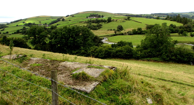
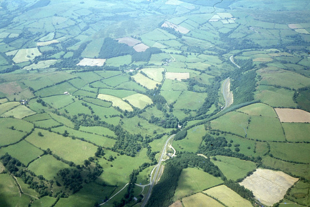
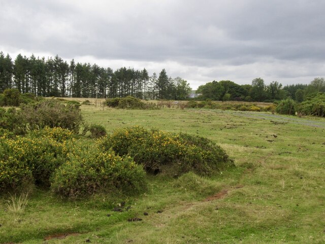
Back Wood, Radnorshire is a picturesque forest located in the heart of Radnorshire, a historic county in Wales. Situated on the eastern side of the county, this enchanting woodland covers an area of approximately 500 acres, making it a significant natural treasure in the region. The forest is characterized by a diverse range of flora and fauna, providing a haven for numerous species of plants and animals.
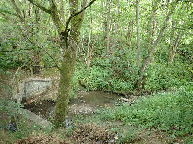
As one explores Back Wood, they will be captivated by its serene atmosphere and breathtaking beauty. The forest is predominantly composed of tall, majestic trees, including oak, beech, and birch, which create a dense canopy overhead, allowing only dappled sunlight to filter through. The forest floor is adorned with a rich carpet of mosses, ferns, and wildflowers, painting the landscape with vibrant hues.
In addition to its natural beauty, Back Wood is also a popular destination for outdoor enthusiasts. The forest offers a variety of walking trails and paths, allowing visitors to immerse themselves in its tranquil ambiance while enjoying the stunning scenery. These trails cater to different levels of difficulty, making them suitable for both casual strollers and avid hikers.
Back Wood is not only a haven for nature lovers but also provides a habitat for a plethora of wildlife. Visitors may encounter various woodland creatures, such as deer, foxes, badgers, and an array of bird species, including woodpeckers, owls, and songbirds. The forest also houses a diverse range of insects, adding to its ecological significance.
Overall, Back Wood, Radnorshire is a captivating and ecologically important forest that offers a sanctuary for both nature enthusiasts and wildlife alike. Its natural beauty, diverse flora and fauna, and well-maintained walking trails make it a cherished destination for anyone seeking solace in the tranquility of nature.
If you have any feedback on the listing, please let us know in the comments section below.
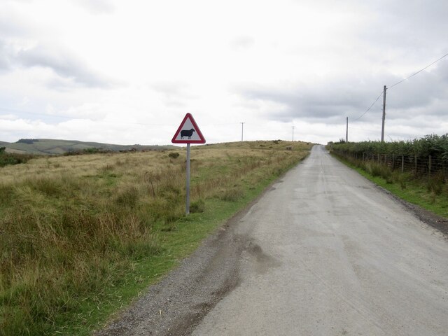
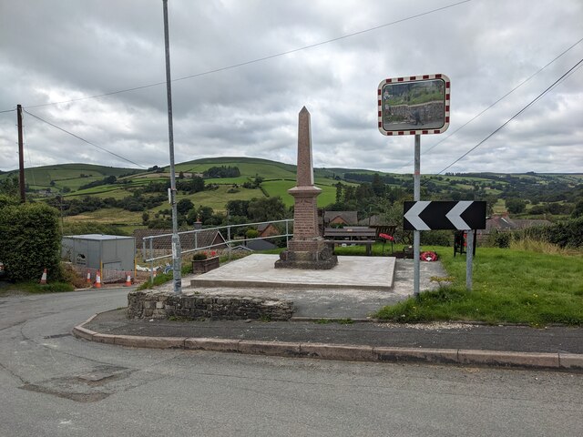
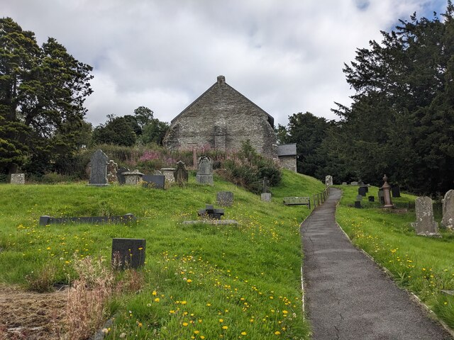
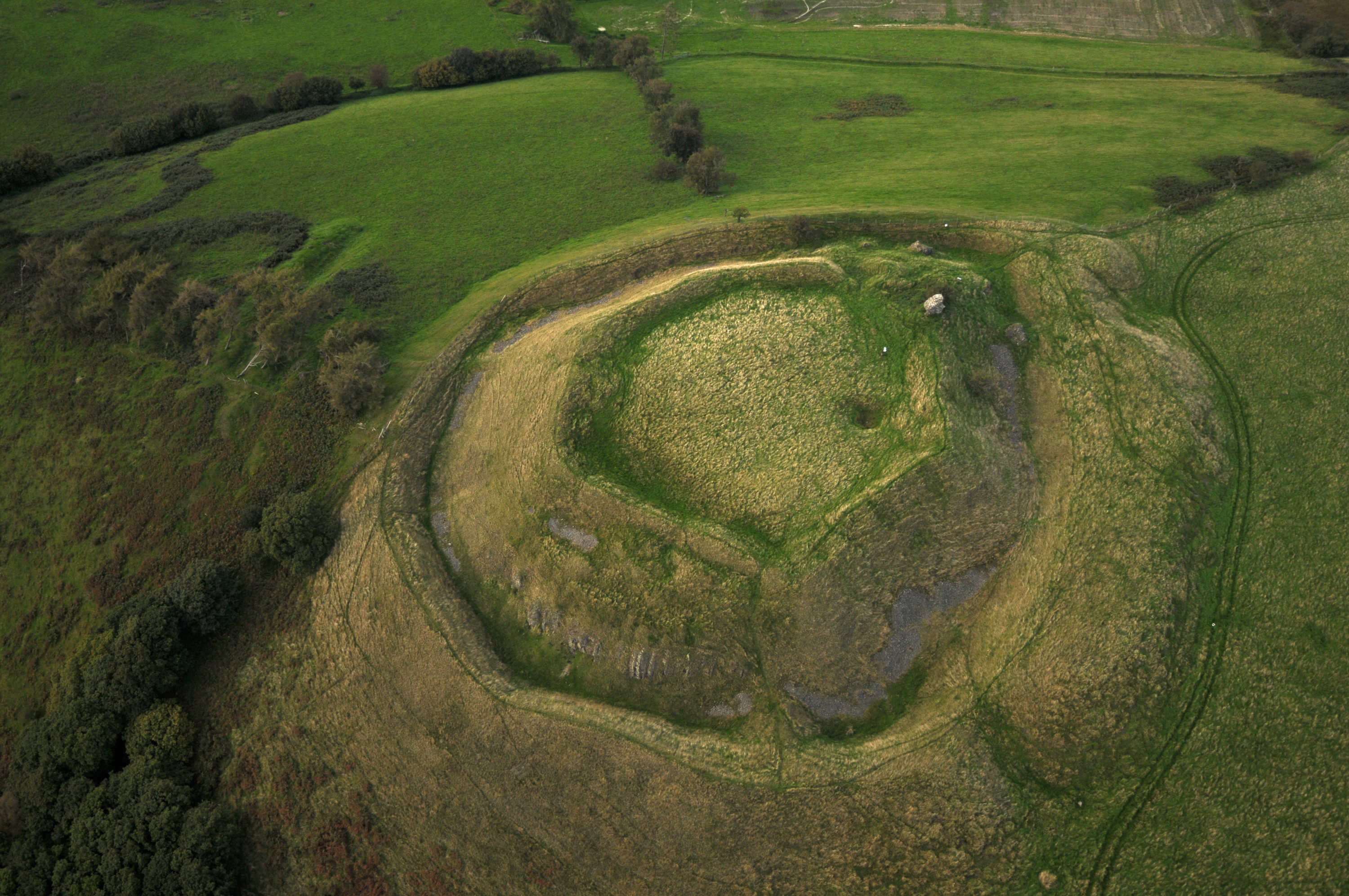
Back Wood Images
Images are sourced within 2km of 52.359486/-3.3108996 or Grid Reference SO1074. Thanks to Geograph Open Source API. All images are credited.


Back Wood is located at Grid Ref: SO1074 (Lat: 52.359486, Lng: -3.3108996)
Unitary Authority: Powys
Police Authority: Dyfed Powys
What 3 Words
///decay.owners.procures. Near Penybont, Powys
Nearby Locations
Related Wikis

Llanbister
Llanbister is a small village and community with a 2011 population of 382 in Powys, mid Wales, in the historic county of Radnorshire. == Facilities... ==

St Anno's Church, Llananno
The Church of St Anno in Llananno, Powys, Wales, is a redundant church dating from the 14th century. Its medieval rood screen is considered "one of the...
Tinboeth Castle
Tinboeth Castle (Welsh: Castell Dinbod) was a medieval castle situated midway between Llanbister and Llanbadarn Fynydd in Wales, on a bend in the River...

Rhwng Gwy a Hafren
Rhwng Gwy a Hafren (English: Between Wye and Severn) was a region of medieval Wales, located in the Welsh Marches between Powys to the north and Brycheiniog...

Llanbadarn Fynydd
Llanbadarn Fynydd (meaning Church of Padarn in the mountain) is a village and community in Radnorshire, Powys, Wales, and is 63 miles (101 km) from Cardiff...
Buddugre Castle
Buddugre Castle (sometimes referred to as Tomen Bedd-Ugre, Castell Cwm Aran, Tomen Bedd Turc and Bedd-y-gre) was a motte and bailey defensive fortification...
Heartsease, Llanddewi Ystradenni
Heartsease is a small settlement or hamlet in the parish and community of Llanddewi Ystradenni in Powys, Wales. It should not be confused with Heartsease...

Red Lion Hill
Red Lion Hill (Welsh: Bryn Llew Goch) or Banc y Dolau is a hill in Powys, Wales, with a summit 484.6 metres (1,590 ft) above sea level. It is located in...
Have you been to Back Wood?
Leave your review of Back Wood below (or comments, questions and feedback).