Coed y Fforest

Wood, Forest in Denbighshire

Wales

Coed y Fforest

The river Clywedog from a footbridge The footpath leads from Lady Bagot's Drive to Hengoed, and the Ruthin to Bontuchel road.
The river Clywedog from a footbridge Credit: Eirian Evans

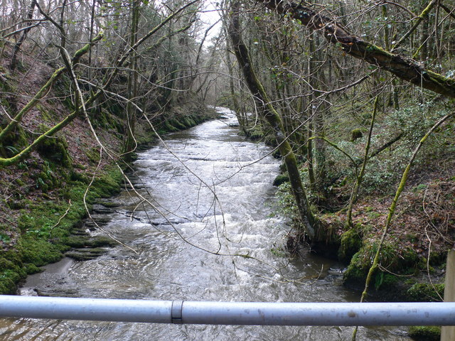
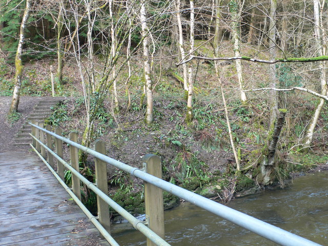
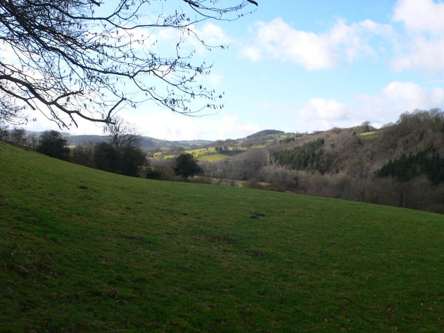
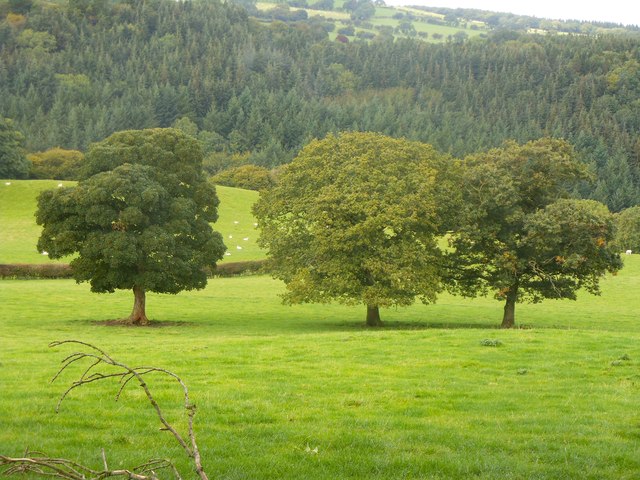
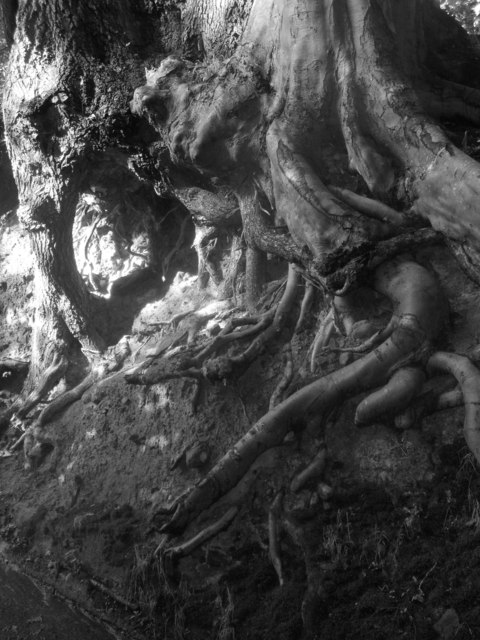
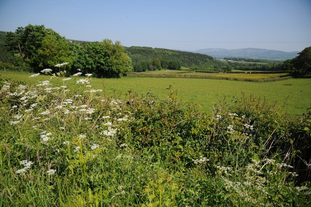
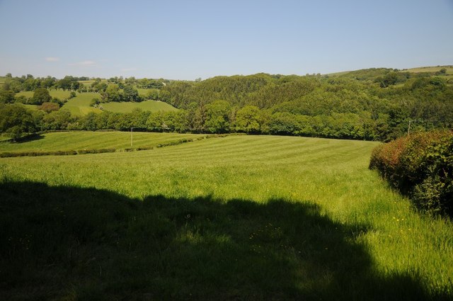
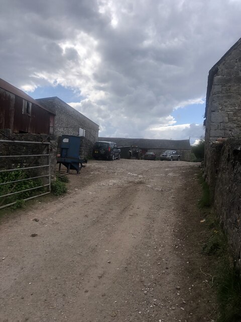
Coed y Fforest is a woodland located in Denbighshire, Wales. Covering an area of approximately 20 hectares, this forest is a popular destination for nature lovers and outdoor enthusiasts. The woodland is home to a diverse range of plant and animal species, making it a haven for wildlife.

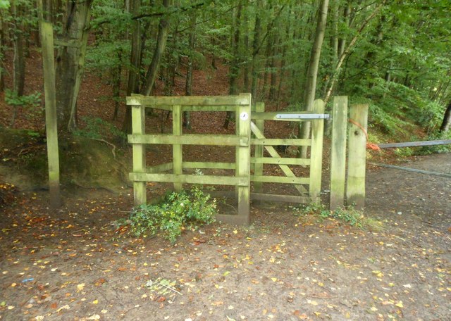
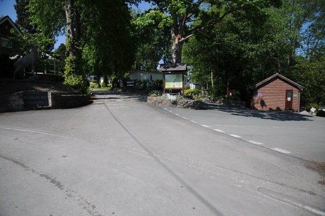
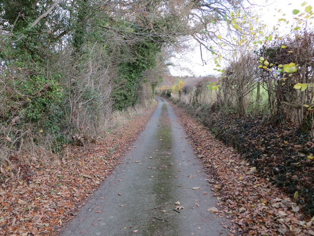
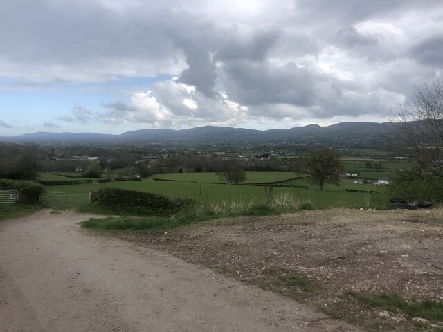
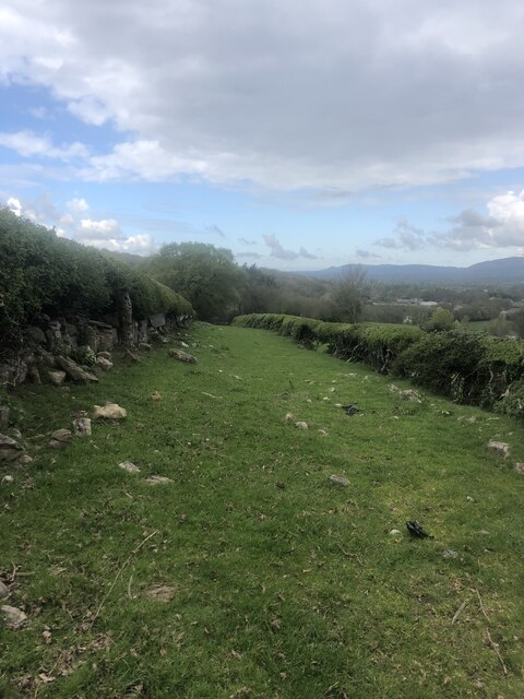
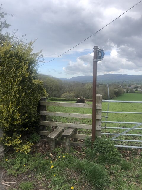
Visitors to Coed y Fforest can explore its network of walking trails, which wind through the forest and offer stunning views of the surrounding countryside. The woodland is also a great spot for birdwatching, with a variety of bird species making their home here.

Coed y Fforest is managed by the local council, who work to maintain the forest's natural beauty and protect its ecosystems. The woodland is a designated Site of Special Scientific Interest (SSSI), highlighting its importance for conservation.

Overall, Coed y Fforest is a tranquil and picturesque woodland that offers visitors the chance to escape the hustle and bustle of everyday life and connect with nature. Whether taking a leisurely stroll through the trees or simply enjoying the peace and quiet, this forest is a hidden gem in Denbighshire.

If you have any feedback on the listing, please let us know in the comments section below.

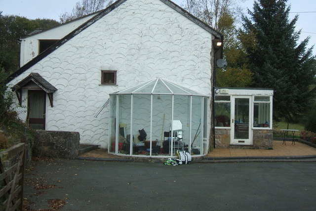
Coed y Fforest Images

Images are sourced within 2km of 53.121841/-3.3482546 or Grid Reference SJ0959. Thanks to Geograph Open Source API. All images are credited.

The river Clywedog from a footbridge The footpath leads from Lady Bagot's Drive to Hengoed, and the Ruthin to Bontuchel road.
The river Clywedog from a footbridge
The footpath leads from Lady Bagot's Drive to Hengoed, and the Ruthin to Bontuchel road.
Footbridge over the river Clywedog The steps at the end of the bridge lead up to Lady Bagot's Drive. The ' Drive' is of Edwardian provenance and was laid as a carriageway by Lord Bagot for his wife at the time Clocaenog Forest was planted.
Footbridge over the river Clywedog
The steps at the end of the bridge lead up to Lady Bagot's Drive. The ' Drive' is of Edwardian provenance and was laid as a carriageway by Lord Bagot for his wife at the time Clocaenog Forest was planted.
View from near Hengoed, Bontuchel Looking west along the Clywedog valley towards Cyffylliog.
View from near Hengoed, Bontuchel
Looking west along the Clywedog valley towards Cyffylliog.
Pen-y-garth farmhouse Not a farm anymore. At the end of a long lane. In a square with a Footpath, Other Route With Public Access and a Bridleway. Great views of the Vale of Clwyd from here.
Pen-y-garth farmhouse
Not a farm anymore. At the end of a long lane. In a square with a Footpath, Other Route With Public Access and a Bridleway. Great views of the Vale of Clwyd from here.
Pen-y-garth - farmhouse
Giat fochyn / A kissing gate
Tair derwen / Three oaks
Gwreiddiau derw a ffawydd wedi'u plethu / Oak and beech roots intertwined This wooded country lane has a Narnian feel!
Gwreiddiau derw a ffawydd wedi'u plethu / Oak and beech roots intertwined
This wooded country lane has a Narnian feel!
The Clwyd valley Farmland in the Clwyd valley, the river flows through the valley below the wooded hillside.
The Clwyd valley
Farmland in the Clwyd valley, the river flows through the valley below the wooded hillside.
Farmland near Ffordd-lâs Farmland near Ffordd-lâs above Bontuchel, the Clwydian Hills are on the horizon.
Farmland near Ffordd-lâs
Farmland near Ffordd-lâs above Bontuchel, the Clwydian Hills are on the horizon.
Entrance to Woodlands Hall Caravan Park
Farmland in the Clwyd valley Farmland in the Clwyd valley at Bontuchel.
Farmland in the Clwyd valley
Farmland in the Clwyd valley at Bontuchel.
Hedge and tree-lined minor road near Y Bwthyn and Penrhengoed Looking northward.
Hedge and tree-lined minor road near Y Bwthyn and Penrhengoed
Looking northward.
Pen-y-Graig farmyard
The Vale of Clwyd From Pen-y-Graig farm, near Rhewl. A fertile valley.
The Vale of Clwyd
From Pen-y-Graig farm, near Rhewl. A fertile valley.
Bridleway near Pen-y-Graig farm
Stile and bridleway sign at Pont y Blodau
Crud y Gwynt Bungalow in the hillside west of Rhewl
Crud y Gwynt
Bungalow in the hillside west of Rhewl
Show me another place!

Coed y Fforest is located at Grid Ref: SJ0959 (Lat: 53.121841, Lng: -3.3482546)

Unitary Authority: Denbighshire

Police Authority: North Wales

What 3 Words

///backdrop.repay.cork. Near Ruthin, Denbighshire

Related Wikis

Rhewl (Llanynys, Denbighshire)

Rhewl is a village on the A525 between Ruthin and Denbigh in the county of Denbighshire in Wales. The village is beside the River Clywedog, which is bridged...

Rhewl railway station

Rhewl railway station was a station in Rhewl, Llanynys, Denbighshire, Wales. The station was opened on 1 March 1862 and closed on 30 April 1962. The main...

Bontuchel

Bontuchel is a hamlet in Denbighshire, Wales, located 2.8 miles (4.5 km) by road west of Ruthin. The father of Calvinist Isaac Hughes hailed from Bontuchel...

Ruthin Town F.C.

Ruthin Town Football Club is a Welsh football club, based at the Memorial Playing Fields in Ruthin, Denbighshire. Football in Ruthin dates back to 1878...

Nearby Amenities

Located within 500m of 53.121841,-3.3482546
The data included in this document is from www.openstreetmap.org. The data is made available under ODbL.

Have you been to Coed y Fforest?

Leave your review of Coed y Fforest below (or comments, questions and feedback).